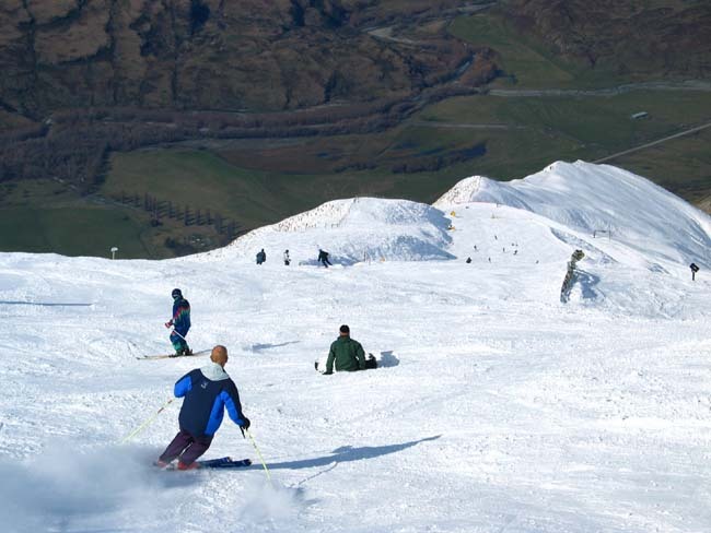


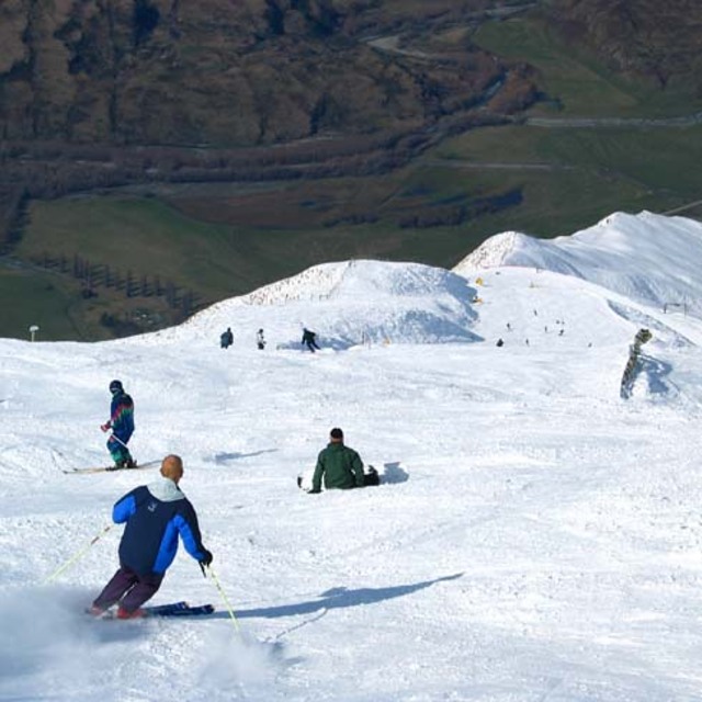
A New Largest Ski Area in New Zealand?
The Remarkables is hoping to overtake Cardrona as New Zealand’s largest ski area under a major NZD 150 million‑plus expansion proposal lodged by owner NZSki.

Next 3 days weather summary:A dusting of new snow. Temperatures will be below freezing (max 0°C on Fri night, min -8°C on Thu morning). Winds decreasing (fresh winds from the S on Thu morning, light winds from the S by Fri night). | Days 4-6 weather summary:Mostly dry. Temperatures will be below freezing (max 0°C on Sat night, min -2°C on Mon night). Wind will be generally light. | ||||||||||||||||
Wed 24 | Thursday 25 | Friday 26 | Saturday 27 | Sunday 28 | Monday 29 | ||||||||||||
PM | night | AM | PM | night | AM | PM | night | AM | PM | night | AM | PM | night | AM | PM | night | |
light snow | snow shwrs | snow shwrs | light snow | clear | clear | clear | clear | clear | clear | some clouds | clear | some clouds | clear | clear | clear | clear | |
km/h | |||||||||||||||||
Snow map |  |  | 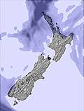 | 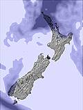 |  |  | |||||||||||
3 | — | — | — | — | — | — | — | — | — | — | — | — | — | — | — | — | |
mm | — | — | — | — | — | — | — | — | — | — | — | — | — | — | — | — | — |
max °C | -2 | -5 | -8 | -8 | -5 | -2 | -1 | 0 | -2 | -1 | 0 | 0 | 0 | -1 | -1 | -1 | -1 |
min °C | -4 | -6 | -8 | -8 | -8 | -4 | -1 | -2 | -2 | -1 | -1 | 0 | 0 | -1 | -1 | -1 | -2 |
chill °C | -9 | -14 | -17 | -17 | -16 | -9 | -4 | -4 | -5 | -3 | -4 | -3 | -3 | -5 | -4 | -1 | -2 |
Humid % | 97 | 48 | 83 | 61 | 63 | 46 | 37 | 31 | 59 | 56 | 61 | 64 | 67 | 75 | 62 | 66 | 60 |
Freeze m | 1600 | 900 | 750 | 800 | 450 | 650 | 1300 | 1400 | 1000 | 1400 | 1800 | 2000 | 1900 | 1700 | 1550 | 1500 | 1300 |
— | — | 8:22 | — | — | 8:22 | — | — | 8:22 | — | — | 8:22 | — | — | 8:22 | — | — | |
5:10 | — | — | 5:10 | — | — | 5:10 | — | — | 5:12 | — | — | 5:12 | — | — | 5:13 | — | |
Go pro and carve into:
Avalanche information: New Zealand Avalanche Advisory
Latest snow reports near Treble Cone:
It is snowing steadily at Remarkables. from Remarkables
| Top snow depth: | 0 cm |
|---|---|
| Bottom snow depth: | 0 cm |
| Fresh snowfall depth: | — |
| Last snowfall: | 19 Jun 2026 |
| Snow Alerts | Create Alert |
0.8 | Bluebird Powder days Fresh snow, mostly sunny, light wind. |
|---|---|
2.3 | Powder days Fresh snow, limited sun, any wind. |
1.6 | Bluebird days Average snow, mostly sunny, light wind. |
The above table gives the weather forecast for Treble Cone at the specific elevation of 1960 m. Our sophisticated weather models allow us to provide snow forecasts for the top, middle and bottom ski stations of Treble Cone. To access the weather forecasts for the other elevations, use the tab navigation above the table. For a wider view of the weather, check out the Weather Map of New Zealand.
Click here to read further information on freezing levels and how we forecast our temperatures.
Overall 3.7 Based on 35 votes and 10 reviews
Stop calling your ski mountains fields! Fields are flat and are used for growing plants. New Zealanders, throw off the British term and start calling your resorts something else.
Jamie from Vanuatu writes:
Stop calling your ski mountains fields! Fields are flat and are used for growing plants. New Zealanders, throw off the British term and start calling your resorts something else.


 Nearest