

America’s Next Indoor Snow Centre Takes Shape
Construction of a new indoor snow centre for skiers, boarders and tubers appears to be making good progress at Heritage Farm in Wayne County, West Virginia.

Next 3 days weather summary:Moderate rain (total 13.0mm), heaviest on Thu afternoon. Very mild (max 15°C on Wed afternoon, min 8°C on Thu night). Wind will be generally light. | Days 4-6 weather summary:Light rain (total 5.0mm), mostly falling on Fri morning. Warm (max 22°C on Sun afternoon, min 8°C on Fri morning). Winds increasing (calm on Fri night, fresh winds from the SSW by Sat night). | |||||||||||||||||
Tuesday 21 | Wednesday 22 | Thursday 23 | Friday 24 | Saturday 25 | Sunday 26 | |||||||||||||
AM | PM | night | AM | PM | night | AM | PM | night | AM | PM | night | AM | PM | night | AM | PM | night | |
some clouds | cloudy | rain shwrs | clear | some clouds | some clouds | rain shwrs | rain shwrs | rain shwrs | light rain | light rain | some clouds | clear | some clouds | some clouds | clear | some clouds | rain shwrs | |
km/h | ||||||||||||||||||
Snow map | 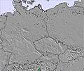 | 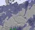 | 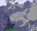 | 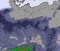 | 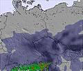 | 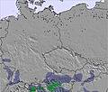 | ||||||||||||
— | — | — | — | — | — | — | — | — | — | — | — | — | — | — | — | — | — | |
mm | — | — | 2 | — | — | — | 2 | 5 | 4 | 3 | 1 | — | — | — | — | — | — | 1 |
max °C | 11 | 13 | 12 | 11 | 15 | 13 | 11 | 11 | 10 | 9 | 12 | 12 | 14 | 18 | 17 | 20 | 22 | 21 |
min °C | 10 | 12 | 9 | 10 | 13 | 11 | 11 | 10 | 8 | 8 | 11 | 11 | 12 | 17 | 16 | 17 | 21 | 13 |
chill °C | 7 | 10 | 7 | 8 | 12 | 8 | 8 | 7 | 4 | 4 | 9 | 10 | 12 | 17 | 15 | 16 | 21 | 12 |
Humid % | 80 | 67 | 80 | 59 | 47 | 64 | 84 | 80 | 95 | 95 | 74 | 68 | 57 | 45 | 42 | 46 | 42 | 76 |
Freeze m | 2700 | 2800 | 2550 | 2550 | 2600 | 2700 | 2450 | 2500 | 2250 | 2300 | 2700 | 3050 | 3400 | 3450 | 3350 | 3600 | 3650 | 3550 |
4:58 | — | — | 5:00 | — | — | 5:01 | — | — | 5:01 | — | — | 5:03 | — | — | 5:05 | — | — | |
— | — | 8:39 | — | — | 8:38 | — | — | 8:37 | — | — | 8:37 | — | — | 8:36 | — | — | 8:34 | |
Go pro and carve into:
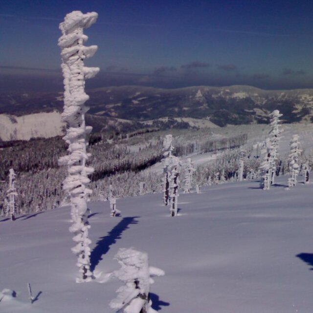
Avalanche information: European Avalanche Warning Services (EAWS)
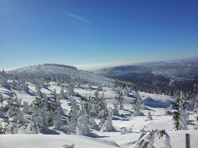
Latest snow reports near Szczyrk:
| Top snow depth: | 0 cm |
|---|---|
| Bottom snow depth: | 0 cm |
| Fresh snowfall depth: | — |
| Last snowfall: | 8 Apr 2026 |
| Snow Alerts | Create Alert |
0.0 | Bluebird Powder days Fresh snow, mostly sunny, light wind. |
|---|---|
0.0 | Powder days Fresh snow, limited sun, any wind. |
0.0 | Bluebird days Average snow, mostly sunny, light wind. |
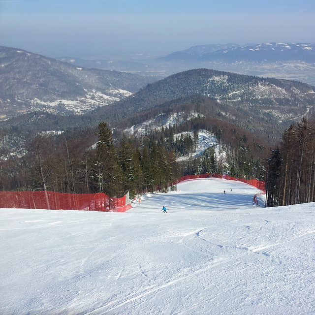
The above table gives the weather forecast for Szczyrk at the specific elevation of 906 m. Our sophisticated weather models allow us to provide snow forecasts for the top, middle and bottom ski stations of Szczyrk. To access the weather forecasts for the other elevations, use the tab navigation above the table. For a wider view of the weather, check out the Weather Map of Poland.
Click here to read further information on freezing levels and how we forecast our temperatures.
Overall 3.7 Based on 15 votes and 4 reviews
i live 15 miles from Szczyrk and I must say that Szczyrk has nice freeride zones! Just speak to young Polish chaps (most of them speak English) and I'm sure they will show you some of it. Go there in February/March, there will be lots of snow plus ski pass cost just 15 £, beer 1.50 £ and good lunch around 5 £. Peace.
raz from United Kingdom writes:
i live 15 miles from Szczyrk and I must say that Szczyrk has nice freeride zones! Just speak to young Polish chaps (most of them speak English) and I'm sure they will show you some of it. Go there in February/March, there will be lots of snow plus ski pass cost just 15 £, beer 1.50 £ and good lunch around 5 £.
Peace.


 Nearest