The above table gives the weather forecast for Stowe at the specific elevation of 390 m. Our sophisticated weather models allow us to provide snow forecasts for the top, middle and bottom ski stations of Stowe. To access the weather forecasts for the other elevations, use the tab navigation above the table. For a wider view of the weather, check out the Weather Map of United States.
Click here to read further information on freezing levels and how we forecast our temperatures.
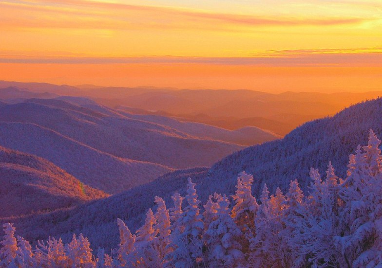
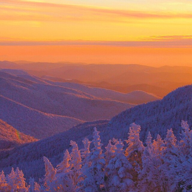
I have always loved Stowe, and their diversity of trails and quality of snow has vastly improved over the past ten years. Sprice Peak, which once was not always open due to lack of snowmaking is now open most of the time and has one of the best and most scenic trails in new emglans..Sterling. I can spend half of my day on this trail and not get bored. That being said the are is becoming much less inviting to me, but not because of the mountain. It has become too expensive especially for a family. Try $15.00 hambugers and $20.00 sandwiches. The lift tickets are now $92! Even my well to do friends are starting to avoid this resort. The management has been trying to be the Aspen of the East for some time, but they are forgetting the people who have made this mountain great in the first place. Please Stowe, bring back the charm and consideration for your family skiers and get your prices in line with other areas. Now, also be aware that you can not just get your young, new skiers lessons for an hour or two. You have to buy the whole day program at $175. Sorry, I don't have $1000 to drop on one days skiing for five people.
I have always loved Stowe, and their diversity of trails and quality of snow has vastly improved over the past ten years. Sprice Peak, which once was not always open due to lack of snowmaking is now open most of the time and has one of the best and most scenic trails in new emglans..Sterling. I can spend half of my day on this trail and not get bored. That being said the are is becoming much less inviting to me, but not because of the mountain. It has become too expensive especially for a family. Try $15.00 hambugers and $20.00 sandwiches. The lift tickets are now $92! Even my well to do friends are starting to avoid this resort. The management has been trying to be the Aspen of the East for some time, but they are forgetting the people who have made this mountain great in the first place. Please Stowe, bring back the charm and consideration for your family skiers and get your prices in line with other areas. Now, also be aware that you can not just get your young, new skiers lessons for an hour or two. You have to buy the whole day program at $175. Sorry, I don't have $1000 to drop on one days skiing for five people.
Free Snow-Forecast.com weather widget for your website
Embed the Stowe weather widget on your site for free. It provides a weekly snapshot of snow and rain conditions across all elevations. Follow the two quick steps to grab your custom code and paste it into your site. Choose between metric or imperial units. Click here to get the code.


 Nearest