

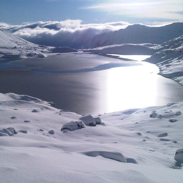
Portillo Storm Snowfall Total Passes 5m / 17 Feet
A snow storm that has now continued for nine days has taken Chilean ski resort Portillo to a snowfall total of 5.2 metres (17 feet) so far, with more snow forecast.

Next 3 days weather summary:Light rain (total 4.0mm), mostly falling on Wed morning. Very mild (max 13°C on Wed afternoon, min 5°C on Thu night). Mainly fresh winds. | Days 4-6 weather summary:Moderate rain (total 11.0mm), heaviest on Mon night. Very mild (max 13°C on Mon night, min 6°C on Sat morning). Winds increasing (calm on Sat night, fresh winds from the SE by Mon night). | |||||||||||||||||
Wednesday 29 | Thursday 30 | Friday 31 | Saturday 1 | Sunday 2 | Monday 3 | |||||||||||||
AM | PM | night | AM | PM | night | AM | PM | night | AM | PM | night | AM | PM | night | AM | PM | night | |
light rain | cloudy | rain shwrs | clear | clear | clear | clear | clear | clear | clear | some clouds | cloudy | some clouds | light rain | light rain | light rain | light rain | light rain | |
km/h | ||||||||||||||||||
Snow map | 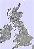 | 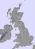 | 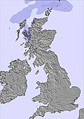 |  |  |  | ||||||||||||
— | — | — | — | — | — | — | — | — | — | — | — | — | — | — | — | — | — | |
mm | 2 | — | 2 | — | — | — | — | — | — | — | — | — | — | 1 | 3 | 2 | 2 | 3 |
max °C | 12 | 13 | 11 | 8 | 8 | 7 | 7 | 8 | 7 | 7 | 8 | 8 | 10 | 11 | 9 | 9 | 12 | 13 |
min °C | 12 | 13 | 8 | 8 | 8 | 5 | 7 | 8 | 6 | 6 | 8 | 8 | 9 | 10 | 8 | 9 | 10 | 10 |
chill °C | 9 | 10 | 4 | 4 | 4 | 1 | 4 | 5 | 2 | 2 | 5 | 6 | 9 | 8 | 5 | 7 | 7 | 7 |
Humid % | 86 | 85 | 97 | 59 | 80 | 82 | 64 | 71 | 85 | 76 | 74 | 68 | 58 | 68 | 79 | 75 | 75 | 73 |
Freeze m | 3700 | 3600 | 3250 | 3050 | 2600 | 2400 | 2250 | 2250 | 2250 | 2500 | 3050 | 3100 | 2800 | 2700 | 2950 | 3200 | 3000 | 3000 |
5:26 | — | — | 5:28 | — | — | 5:31 | — | — | 5:31 | — | — | 5:33 | — | — | 5:35 | — | — | |
— | 9:15 | — | — | 9:14 | — | — | 9:13 | — | — | 9:10 | — | — | 9:08 | — | — | 9:07 | — | |
Go pro and carve into:
Avalanche information: European Avalanche Warning Services (EAWS)
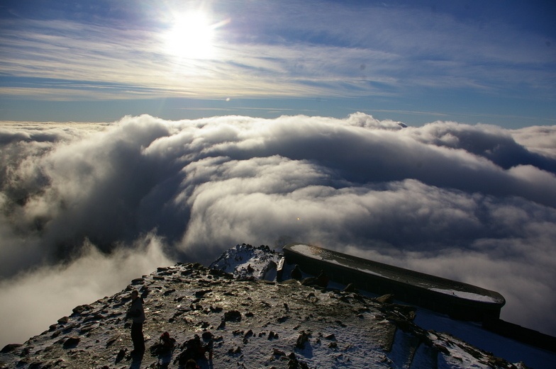
Latest snow reports near Snowdon:
| Top snow depth: | — |
|---|---|
| Bottom snow depth: | — |
| Fresh snowfall depth: | — |
| Last snowfall: | 11 Apr 2026 |
| Snow Alerts | Create Alert |
0.0 | Bluebird Powder days Fresh snow, mostly sunny, light wind. |
|---|---|
0.0 | Powder days Fresh snow, limited sun, any wind. |
0.0 | Bluebird days Average snow, mostly sunny, light wind. |
The above table gives the weather forecast for Snowdon at the specific elevation of 1089 m. Our sophisticated weather models allow us to provide snow forecasts for the top, middle and bottom ski stations of Snowdon. To access the weather forecasts for the other elevations, use the tab navigation above the table. For a wider view of the weather, check out the Weather Map of United Kingdom.
Click here to read further information on freezing levels and how we forecast our temperatures.
Overall 3.0 Based on 5 votes and 4 reviews
Since when was Snowdonia a ski resort? There is a dry ski slope, about 50 feet long. It's a place for walkers, climbers, parasailers etc. I'd expect anyone skiing will quickly fall off a cliff onto jagged rocks! There is skiing in Scotland I believe. Go there for skiing.
Mark from United Kingdom writes:
Since when was Snowdonia a ski resort? There is a dry ski slope, about 50 feet long. It's a place for walkers, climbers, parasailers etc. I'd expect anyone skiing will quickly fall off a cliff onto jagged rocks! There is skiing in Scotland I believe. Go there for skiing.

 Nearest