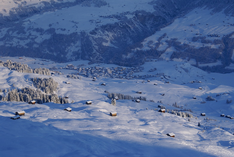
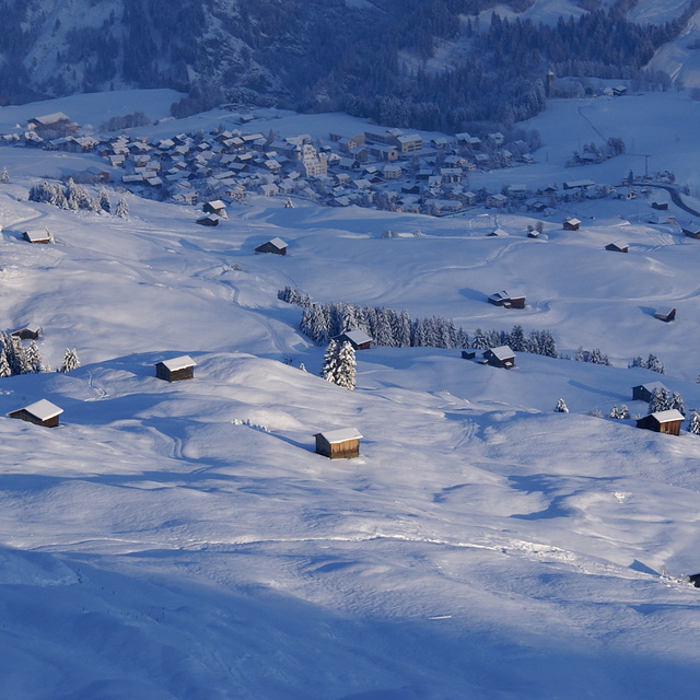
The above table gives the weather forecast for Obersaxen - Mundaun - Val Lumnezia at the specific elevation of 2300 m. Our sophisticated weather models allow us to provide snow forecasts for the top, middle and bottom ski stations of Obersaxen - Mundaun - Val Lumnezia. To access the weather forecasts for the other elevations, use the tab navigation above the table. For a wider view of the weather, check out the Weather Map of Switzerland.
Click here to read further information on freezing levels and how we forecast our temperatures.
Visitor Reviews of Obersaxen - Mundaun - Val Lumnezia
Val Lumnezia nennt sich ein familienfreundliches Skigebiet, was allerdings dieses jahr über die Weihnachtstage in keiner Weise zutrifft. Bergbahnen und Skischule sind nicht fähig, den Skikindergarten und den Ponylift zu öffnen. Es liegt zwar Schnee, der konnte aber wegen fehlender Unterlage nicht mit den tonnenschweren Riesenmaschinen bearbeitet werden. Früher hat man das auch ohne Maschinen, aber mit viel Handarbeit gemacht. Jeder gibt dem Anderen die Schuld, unisono heisst es, dass die Verantwortlichen im warmen Büro in Ilanz sässen und sich nicht darum kümmerten, was auf der Skipiste passiert. Es hatte einige wütende Gäste, ich gehöre dazu. So macht sich das Val Lumnezia selber kaputt. Es wäre wohl an der Zeit, dass sich sämtliche Parteien an einen Tisch setzen würden, um gemeinsam eine Lösung zu finden. Wir bezahlen Tourismus Abgaben und erwarten, dass sich die Verantwortlichen für die Wünsche der Touristen einsetzen.
Visitor Reviews of Obersaxen - Mundaun - Val Lumnezia
Overall: 3.5 Based on 25 votes and 5 reviews
Snowsure 3.9
Variety of pistes 4.3
Off-piste 2.7
Scenery 4.2
Apres-Ski 2.8
Elisabeth Wolfer from Switzerland writes:
Val Lumnezia nennt sich ein familienfreundliches Skigebiet, was allerdings dieses jahr über die Weihnachtstage in keiner Weise zutrifft. Bergbahnen und Skischule sind nicht fähig, den Skikindergarten und den Ponylift zu öffnen. Es liegt zwar Schnee, der konnte aber wegen fehlender Unterlage nicht mit den tonnenschweren Riesenmaschinen bearbeitet werden. Früher hat man das auch ohne Maschinen, aber mit viel Handarbeit gemacht. Jeder gibt dem Anderen die Schuld, unisono heisst es, dass die Verantwortlichen im warmen Büro in Ilanz sässen und sich nicht darum kümmerten, was auf der Skipiste passiert. Es hatte einige wütende Gäste, ich gehöre dazu. So macht sich das Val Lumnezia selber kaputt. Es wäre wohl an der Zeit, dass sich sämtliche Parteien an einen Tisch setzen würden, um gemeinsam eine Lösung zu finden. Wir bezahlen Tourismus Abgaben und erwarten, dass sich die Verantwortlichen für die Wünsche der Touristen einsetzen.
Free Snow-Forecast.com weather widget for your website
Embed the Obersaxen - Mundaun - Val Lumnezia weather widget on your site for free. It provides a weekly snapshot of snow and rain conditions across all elevations. Follow the two quick steps to grab your custom code and paste it into your site. Choose between metric or imperial units. Click here to get the code.


 Nearest