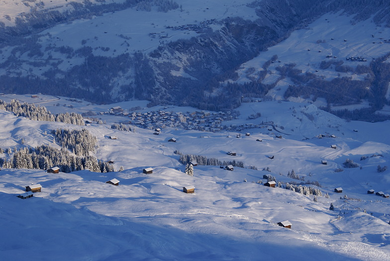
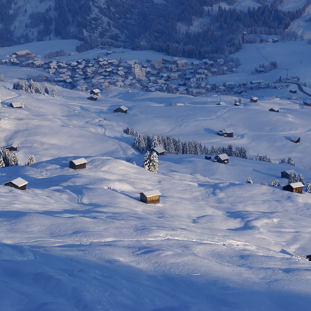
The above table gives the weather forecast for Obersaxen - Mundaun - Val Lumnezia at the specific elevation of 1200 m. Our sophisticated weather models allow us to provide snow forecasts for the top, middle and bottom ski stations of Obersaxen - Mundaun - Val Lumnezia. To access the weather forecasts for the other elevations, use the tab navigation above the table. For a wider view of the weather, check out the Weather Map of Switzerland.
Click here to read further information on freezing levels and how we forecast our temperatures.
Visitor Reviews of Obersaxen - Mundaun - Val Lumnezia
Wir sind jetzt das 11. Jahr in diesem Gebiet, sowohl im Sommer als auch im Winter (ca. 2-3 Monate p.A.). Vor allem im Val Lumnezia ist man definitiv verschont von grossem Trubel. Die Pisten bieten eine gute Mischung von blau über rot bis schwarz. durch die sehr grosse Ausdehnung (es waren ja früher 2 Liftgesellschaften) ergeben sich ausserdem extrem viele Tiefschneehänge. Die Pisten sind teilweise sehr Carving freundlich.
Wartezeiten gibt es wenn überhaupt an Weihnachten / Fasching / Ostern, Ansonsten wartet man im Schnitt 0 - 3 Minuten (der Grund für den relativ schwachen Besuch liegt m.E. in der Tatsache, dass es zuwenig Unterkunftsmöglichkeiten gibt sowie auch an der umliegenden Konkurrenz der anderen Skigebiete). Alle Pisten werden bestens gepflegt, Restaurants gibt es ca. so um die 20 im Skigebiet, teilweise mit excellenter Aussicht. Wer länger dort Urlaub macht kann sich den Surselva Skipass gönnen (ab 3 / 6 Tage). Damit können folgende Skigebiete benutzt werden: O-saxen, Vals, Brigels, Disentis, Sedrun / Flims-Laax.
Fazit: hoffentlich bleibt es wie es derzeit ist.
Visitor Reviews of Obersaxen - Mundaun - Val Lumnezia
Overall: 3.5 Based on 25 votes and 5 reviews
Snowsure 3.9
Variety of pistes 4.3
Off-piste 2.7
Scenery 4.2
Apres-Ski 2.8
Rolf Dittus from Germany writes:
Wir sind jetzt das 11. Jahr in diesem Gebiet, sowohl im Sommer als auch im Winter (ca. 2-3 Monate p.A.). Vor allem im Val Lumnezia ist man definitiv verschont von grossem Trubel. Die Pisten bieten eine gute Mischung von blau über rot bis schwarz. durch die sehr grosse Ausdehnung (es waren ja früher 2 Liftgesellschaften) ergeben sich ausserdem extrem viele Tiefschneehänge. Die Pisten sind teilweise sehr Carving freundlich.
Wartezeiten gibt es wenn überhaupt an Weihnachten / Fasching / Ostern, Ansonsten wartet man im Schnitt 0 - 3 Minuten (der Grund für den relativ schwachen Besuch liegt m.E. in der Tatsache, dass es zuwenig Unterkunftsmöglichkeiten gibt sowie auch an der umliegenden Konkurrenz der anderen Skigebiete). Alle Pisten werden bestens gepflegt, Restaurants gibt es ca. so um die 20 im Skigebiet, teilweise mit excellenter Aussicht. Wer länger dort Urlaub macht kann sich den Surselva Skipass gönnen (ab 3 / 6 Tage). Damit können folgende Skigebiete benutzt werden: O-saxen, Vals, Brigels, Disentis, Sedrun / Flims-Laax.
Free Snow-Forecast.com weather widget for your website
Embed the Obersaxen - Mundaun - Val Lumnezia weather widget on your site for free. It provides a weekly snapshot of snow and rain conditions across all elevations. Follow the two quick steps to grab your custom code and paste it into your site. Choose between metric or imperial units. Click here to get the code.


 Nearest