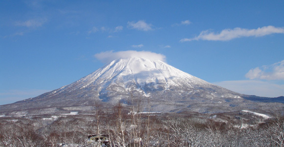


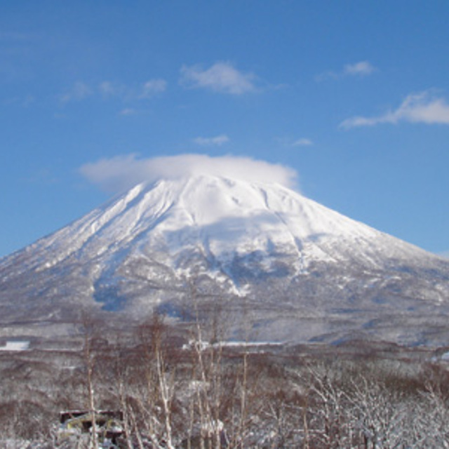
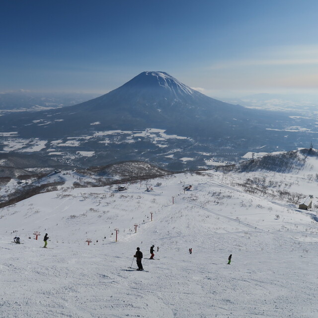
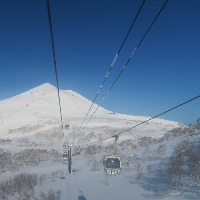
Niseko Announce New Gondola
Niseko Village has confirmed a major lift expansion that will reshape access on the southern side of the Niseko United ski area, with a new gondola scheduled to open next winter and a second stage planned for 2027–28.

Next 3 days weather summary:Heavy rain (total 35.0mm), heaviest during Wed morning. Warm (max 26°C on Tue afternoon, min 17°C on Wed night). Wind will be generally light. | Days 4-6 weather summary:Light rain (total 4.0mm), mostly falling on Fri afternoon. Warm (max 22°C on Mon morning, min 12°C on Sun night). Wind will be generally light. | ||||||||||||||||
Tue 21 | Wednesday 22 | Thursday 23 | Friday 24 | Saturday 25 | Sunday 26 | ||||||||||||
PM | night | AM | PM | night | AM | PM | night | AM | PM | night | AM | PM | night | AM | PM | night | |
some clouds | mod. rain | heavy rain | rain shwrs | clear | some clouds | cloudy | some clouds | some clouds | light rain | cloudy | cloudy | light rain | cloudy | cloudy | some clouds | some clouds | |
km/h | |||||||||||||||||
Snow map |  | 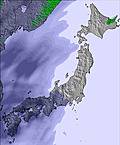 | 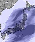 | 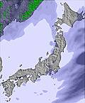 |  |  | |||||||||||
— | — | — | — | — | — | — | — | — | — | — | — | — | — | — | — | — | |
mm | — | 6 | 28 | 1 | — | — | — | — | — | 2 | — | — | 2 | — | — | — | — |
max °C | 26 | 19 | 19 | 20 | 18 | 26 | 24 | 18 | 23 | 21 | 17 | 19 | 19 | 16 | 20 | 20 | 14 |
min °C | 22 | 18 | 19 | 20 | 17 | 23 | 21 | 17 | 22 | 19 | 16 | 17 | 17 | 15 | 19 | 17 | 12 |
chill °C | 22 | 18 | 19 | 20 | 17 | 23 | 21 | 17 | 22 | 19 | 16 | 17 | 17 | 15 | 19 | 17 | 12 |
Humid % | 57 | 85 | 99 | 93 | 89 | 70 | 71 | 89 | 74 | 82 | 96 | 92 | 86 | 97 | 78 | 72 | 91 |
Freeze m | 4800 | 4750 | 4850 | 4800 | 4800 | 4550 | 4600 | 4350 | 4250 | 4350 | 4300 | 4250 | 4300 | 4400 | 4350 | 4400 | 4450 |
— | — | 4:16 | — | — | 4:18 | — | — | 4:18 | — | — | 4:20 | — | — | 4:20 | — | — | |
7:08 | — | — | 7:08 | — | — | 7:07 | — | — | 7:07 | — | — | 7:06 | — | — | 7:05 | — | |
Go pro and carve into:
Avalanche information: Japan Avalanche Network
Latest snow reports near Niseko Village:
| Top snow depth: | — |
|---|---|
| Bottom snow depth: | — |
| Fresh snowfall depth: | — |
| Last snowfall: | 4 May 2026 |
| Snow Alerts | Create Alert |
0.0 | Bluebird Powder days Fresh snow, mostly sunny, light wind. |
|---|---|
0.0 | Powder days Fresh snow, limited sun, any wind. |
0.0 | Bluebird days Average snow, mostly sunny, light wind. |
The above table gives the weather forecast for Niseko Village at the specific elevation of 280 m. Our sophisticated weather models allow us to provide snow forecasts for the top, middle and bottom ski stations of Niseko Village. To access the weather forecasts for the other elevations, use the tab navigation above the table. For a wider view of the weather, check out the Weather Map of Japan.
Click here to read further information on freezing levels and how we forecast our temperatures.
Overall 4.4 Based on 1 vote and 3 reviews
This mountain rocks, everyday is a powder day and it didn't seem like it was snowing that hard when I was there (12-16th Jan) but the flakes just keep floating down all through the night. Higashiyama is only good at the top slopes by the Ace Pair lift or if you ski down from the Prince gondola and take a short hike up to Panorama gate and then continue through the trees. But head over to An'nupuri an there is just great powder everywhere and nice easy tree runs with nothing too steep. Good if you are skiing/boarding pow for the first time! Spent an entire day on this side and was planning on exploring the Hirafu side but the wind picked up and the lifts got shut down...this seems to be a not uncommon occurrence! Downside to Higashiyama is night life is non-existent. You need to take a 20 min bus over to the main village in Hirafu and even this is pretty quiet when compared to something like Whistler or Val d'Isere
Stu from South Korea writes:
This mountain rocks, everyday is a powder day and it didn't seem like it was snowing that hard when I was there (12-16th Jan) but the flakes just keep floating down all through the night.
Higashiyama is only good at the top slopes by the Ace Pair lift or if you ski down from the Prince gondola and take a short hike up to Panorama gate and then continue through the trees. But head over to An'nupuri an there is just great powder everywhere and nice easy tree runs with nothing too steep. Good if you are skiing/boarding pow for the first time!
Spent an entire day on this side and was planning on exploring the Hirafu side but the wind picked up and the lifts got shut down...this seems to be a not uncommon occurrence!
Downside to Higashiyama is night life is non-existent. You need to take a 20 min bus over to the main village in Hirafu and even this is pretty quiet when compared to something like Whistler or Val d'Isere


 Nearest