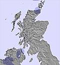
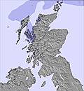
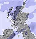
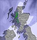
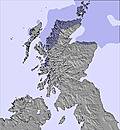
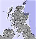
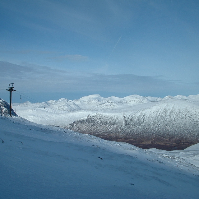
The above table gives the weather forecast for Nevis Range at the specific elevation of 91 m. Our sophisticated weather models allow us to provide snow forecasts for the top, middle and bottom ski stations of Nevis Range. To access the weather forecasts for the other elevations, use the tab navigation above the table. For a wider view of the weather, check out the Weather Map of United Kingdom.
Click here to read further information on freezing levels and how we forecast our temperatures.
Here,here hootsman!
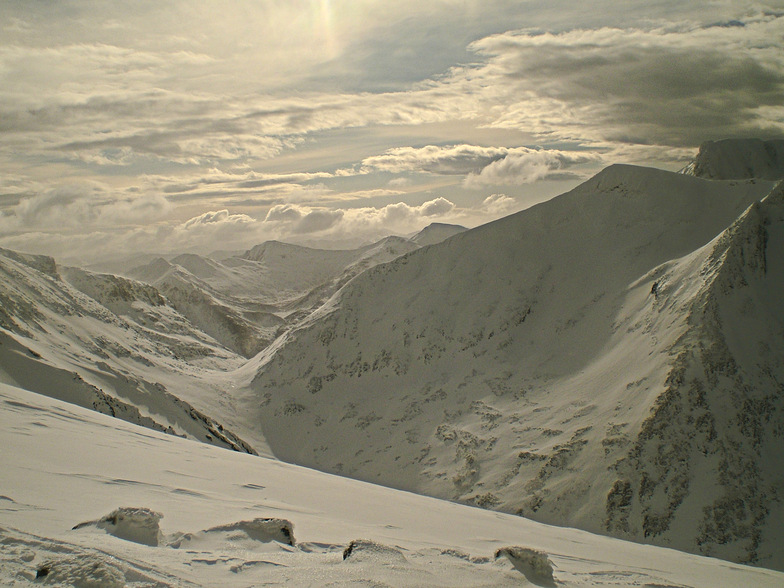
I have been skiing in all resorts in Scotland for about 26 years now and certainly the last few years have been a godsend in terms of snowfall- I remember skiing every week from November till May back in the late eighties/early ninities with some decent snowfalls.
I have also skied all over europe, Austria, Italy, France and Switzerland and as much as it is great for the weather (most of the time!!), some of the best days skiing, both sunshine and snow conditions I've had, have been in Scotland. You need to do it more than a few times here to appreciate what it has to offer.. The fact that I'm passionate about my country may help a little........
Here,here hootsman!
I have been skiing in all resorts in Scotland for about 26 years now and certainly the last few years have been a godsend in terms of snowfall- I remember skiing every week from November till May back in the late eighties/early ninities with some decent snowfalls.
I have also skied all over europe, Austria, Italy, France and Switzerland and as much as it is great for the weather (most of the time!!), some of the best days skiing, both sunshine and snow conditions I've had, have been in Scotland. You need to do it more than a few times here to appreciate what it has to offer.. The fact that I'm passionate about my country may help a little........
Free Snow-Forecast.com weather widget for your website
Embed the Nevis Range weather widget on your site for free. It provides a weekly snapshot of snow and rain conditions across all elevations. Follow the two quick steps to grab your custom code and paste it into your site. Choose between metric or imperial units. Click here to get the code.


 Nearest