Weather Forecast for Mount Cheeseman at1634m altitude
Issued: 11 pm 29 Jun 2026 (local time)
Forecast update in hr min
Next snow in Mount Cheeseman: 5cm on Sat 4th (after 9 PM local time)
View forecast
Mount Cheesemanat 1634 m altitude
Issued by Snow-Forecast.com at:11 pm (local time) / 29 Jun 2026
Last 6 daysScroll left for last 6 daysNow
Next 4 days weather summary:
Mostly dry. Freeze-thaw conditions (max 2°C on Tue morning, min -2°C on Mon night). Wind will be generally light.
Days 5-7 weather summary:
Mild with heavy rain (total 38.0mm), heaviest during Sat morning. Becoming colder with a moderate fall of snow heaviest on Sat night. Freeze-thaw conditions (max 3°C on Sat afternoon, min -5°C on Sun afternoon). Winds increasing (light winds from the NW on Thu night, near gales from the NW by Fri night).
The above table gives the weather forecast for Mount Cheeseman at the specific elevation of 1634 m. Our sophisticated weather models allow us to provide snow forecasts for the top, middle and bottom ski stations of Mount Cheeseman. To access the weather forecasts for the other elevations, use the tab navigation above the table. For a wider view of the weather, check out the Weather Map of New Zealand.
Click here to read further information on freezing levels and how we forecast our temperatures.
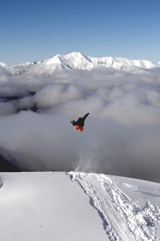
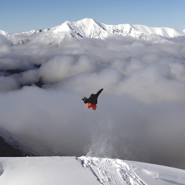
My brothers and I skied at Mt Cheeseman in August 2011 and I cannot speak highly enough of the mountain, it's facilities and the wonderful staff and members. We stayed on mountain and it is so good to get up in the morning and walk 15 metres to the T-bar to get skiing for the day. The field has a good variety of terrain for people of all abilities and even better, no crowds. After skiing in Australia and paying top dollar for crappy conditions, crowded slopes and rude people, Mt Cheeseman is heaven. The value for money is second to none and I have skied in Canada, U.S as well as other mountains in NZ. Most importantly, we were made to feel like family there. Within a couple of hours, we knew everyone there by name and had our meals together, swapping stories, having a laugh and an awesome time.
I tell every Aussie who loves to ski uncrowded, challenging terrain, stay on the mountain and do it for under half the price of Australian slopes.... Go Cheesman!!!
Free Snow-Forecast.com weather widget for your website
Embed the Mount Cheeseman weather widget on your site for free. It provides a weekly snapshot of snow and rain conditions across all elevations. Follow the two quick steps to grab your custom code and paste it into your site. Choose between metric or imperial units. Click here to get the code.


 Nearest