Europe Weekly Snow Roundup #320
Weekly Snow News for Europe, updated 25 June 2026: Warm weather dominates the Alps as Tignes opens for summer skiing. Riksgransen ends its 2026 season at summer solstice.

Next 3 days weather summary:Light rain (total 7.0mm), mostly falling on Thu night. Warm (max 30°C on Sat afternoon, min 18°C on Thu night). Wind will be generally light. | Days 4-6 weather summary:Moderate rain (total 11.0mm), heaviest on Mon afternoon. Warm (max 30°C on Sun afternoon, min 17°C on Sun night). Wind will be generally light. | ||||||||||||||||
Thu 25 | Friday 26 | Saturday 27 | Sunday 28 | Monday 29 | Tuesday 30 | ||||||||||||
PM | night | AM | PM | night | AM | PM | night | AM | PM | night | AM | PM | night | AM | PM | night | |
some clouds | rain shwrs | clear | t-storm risk | rain shwrs | clear | clear | clear | clear | clear | rain shwrs | rain shwrs | t-storm risk | rain shwrs | some clouds | some clouds | rain shwrs | |
km/h | |||||||||||||||||
Snow map |  |  |  |  |  |  | |||||||||||
— | — | — | — | — | — | — | — | — | — | — | — | — | — | — | — | — | |
mm | — | 3 | — | 2 | 2 | — | — | — | — | — | 2 | 1 | 5 | 1 | — | — | 1 |
max °C | 28 | 22 | 26 | 28 | 23 | 28 | 30 | 24 | 28 | 30 | 21 | 27 | 29 | 21 | 27 | 28 | 24 |
min °C | 28 | 18 | 22 | 27 | 18 | 22 | 30 | 19 | 23 | 28 | 17 | 21 | 19 | 17 | 21 | 28 | 18 |
chill °C | 28 | 18 | 22 | 27 | 18 | 22 | 30 | 19 | 23 | 28 | 17 | 21 | 19 | 17 | 21 | 28 | 18 |
Humid % | 43 | 70 | 59 | 50 | 69 | 48 | 36 | 60 | 48 | 43 | 63 | 50 | 82 | 59 | 51 | 45 | 58 |
Freeze m | 4250 | 4150 | 4300 | 4350 | 4350 | 4400 | 4500 | 4550 | 4500 | 4550 | 4450 | 4350 | 4350 | 4300 | 4250 | 4350 | 4300 |
— | — | 5:13 | — | — | 5:13 | — | — | 5:13 | — | — | 5:13 | — | — | 5:15 | — | — | |
— | 9:00 | — | — | 9:00 | — | — | 9:00 | — | — | 9:00 | — | — | 9:00 | — | — | 9:00 | |
Go pro and carve into:
Avalanche information: European Avalanche Warning Services (EAWS)
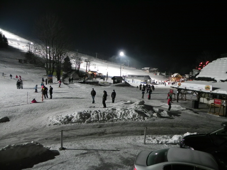
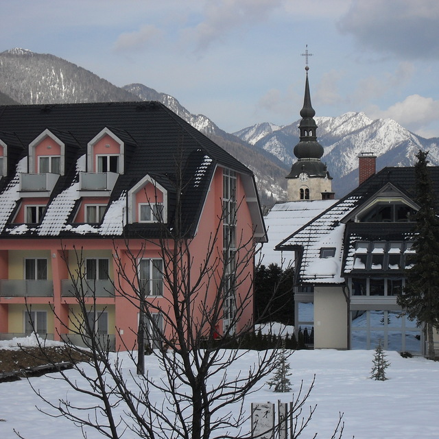
Latest snow reports near Kranjska Gora:
| Top snow depth: | 0 cm |
|---|---|
| Bottom snow depth: | 0 cm |
| Fresh snowfall depth: | — |
| Last snowfall: | 15 May 2026 |
| Snow Alerts | Create Alert |
0.0 | Bluebird Powder days Fresh snow, mostly sunny, light wind. |
|---|---|
0.0 | Powder days Fresh snow, limited sun, any wind. |
0.0 | Bluebird days Average snow, mostly sunny, light wind. |
The above table gives the weather forecast for Kranjska Gora at the specific elevation of 810 m. Our sophisticated weather models allow us to provide snow forecasts for the top, middle and bottom ski stations of Kranjska Gora. To access the weather forecasts for the other elevations, use the tab navigation above the table. For a wider view of the weather, check out the Weather Map of Slovenia.
Click here to read further information on freezing levels and how we forecast our temperatures.
Overall 3.8 Based on 19 votes and 16 reviews
We just came back from a fantastic week at Kranjska Gora with loads of snow and some lovely sunny days. Whilst the skiing is quite limited in total size it worked well for our mixed group of kids (who went to the excellent ski school and enjoyed the plentiful nursery slopes) and intermediates - advanced adults who skied on the (empty!) world cup pistes on the Podkoren side of the resort and also managed a couple of trips to nearby resorts (we actually skied 3 resorts in 3 countries in 3 days!). The accessability of the pistes of Kranjska Gora is a blessing especially if you have kids and the prices make you wonder why you have put up with paying double in more "prestigious" resorts for so long! A shout to the team at Think Slovenia who sorted out excellent self catering accommodation for us in the lovely village of Ratece and arranged our tuition / ski hire. Would definitely return.
Jim from United Kingdom writes:
We just came back from a fantastic week at Kranjska Gora with loads of snow and some lovely sunny days. Whilst the skiing is quite limited in total size it worked well for our mixed group of kids (who went to the excellent ski school and enjoyed the plentiful nursery slopes) and intermediates - advanced adults who skied on the (empty!) world cup pistes on the Podkoren side of the resort and also managed a couple of trips to nearby resorts (we actually skied 3 resorts in 3 countries in 3 days!). The accessability of the pistes of Kranjska Gora is a blessing especially if you have kids and the prices make you wonder why you have put up with paying double in more "prestigious" resorts for so long! A shout to the team at Think Slovenia who sorted out excellent self catering accommodation for us in the lovely village of Ratece and arranged our tuition / ski hire. Would definitely return.


 Nearest