The above table gives the weather forecast for Feldberg at the specific elevation of 1448 m. Our sophisticated weather models allow us to provide snow forecasts for the top, middle and bottom ski stations of Feldberg. To access the weather forecasts for the other elevations, use the tab navigation above the table. For a wider view of the weather, check out the Weather Map of Germany.
Click here to read further information on freezing levels and how we forecast our temperatures.
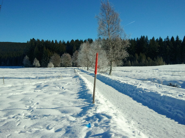
Drove to Feldberg from Basel which took a couple of hours due to the snow. We arrived to fantastic conditions with powder everywhere. The sun popped its head out a few times for perfect visibility.
The staff in the ski rental were super helpful & friendly. We were just skiing for the day. Skis, boots & poles for 2 adults & a 16 & 12 year old was just 60 euros all in, with the lift passes just 36€ & 24€ for adult & child; great value.
Plenty of slopes to get stuck into for the day; a great experience. Just 1 hour 10 minutes driving back to Basel on clear roads. Would definitely recommend.
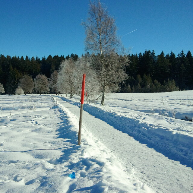
Free Snow-Forecast.com weather widget for your website
Embed the Feldberg weather widget on your site for free. It provides a weekly snapshot of snow and rain conditions across all elevations. Follow the two quick steps to grab your custom code and paste it into your site. Choose between metric or imperial units. Click here to get the code.


 Nearest