The above table gives the weather forecast for Feldberg at the specific elevation of 945 m. Our sophisticated weather models allow us to provide snow forecasts for the top, middle and bottom ski stations of Feldberg. To access the weather forecasts for the other elevations, use the tab navigation above the table. For a wider view of the weather, check out the Weather Map of Germany.
Click here to read further information on freezing levels and how we forecast our temperatures.
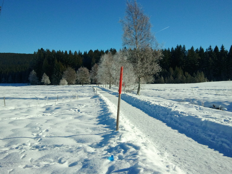
Feldberg is indeed a very good and decent ski resort for beginners up to experienced skiers though not yet experts: Nice blue runs for beginners or warming up and some of the red runs like Klusenwald and Fahler Loch are partly tricky and fun even for experienced skiers.
The price-performance ratio for this resort is definitely top: The ski-rental-prices are compared with other resorts in the lower segment, while the quality of the material is really good. I rented them at On Snow and had personally, so far, the best material and best service.
The best thing is, if you are booking an accommodation that participates in the "Hochschwarzwald-Card" you pay a bit more for the room and the apartment but the lift-passes for all persons are included! For instance we paid 230 € for a real good apartment for 3 persons and 3 days and the lift passes for 3 persons were included in that price. I find that unbeatable. You can look for Hochschwarzwald-Card and accommodations related to it under: hochschwarzwald.de/Card.
If booking over that site make sure that the accommodation has the Hochschwarzwald-Card (The site also offers others).
The resort is not too crowded and the waiting time, even at the more frequented lifts at weekends, are acceptable (usually under 5 minutes) and there are many more lifts available with little waiting time. The lift experience, by another reviewer, I can understand: The T-bar lift she refers to is the Silberwiesenlift I presume: it requires an experienced skier and is nothing for beginners and you're really f***ed when you drop out of it. But there is an easy way to replace it: by the end of the red run you continue down the Rothaus run to the seated lift that brings you up to the top from where you travel via a short blue run to the two red pistes.
All in all, I would recommend the Feldberg resort to families and beginners even for a longer stay and for experienced skiers it is at the very least interesting fun for a 3 or 4 day stay.
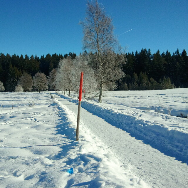
Free Snow-Forecast.com weather widget for your website
Embed the Feldberg weather widget on your site for free. It provides a weekly snapshot of snow and rain conditions across all elevations. Follow the two quick steps to grab your custom code and paste it into your site. Choose between metric or imperial units. Click here to get the code.


 Nearest