The above table gives the weather forecast for Champoussin at the specific elevation of 2150 m. Our sophisticated weather models allow us to provide snow forecasts for the top, middle and bottom ski stations of Champoussin. To access the weather forecasts for the other elevations, use the tab navigation above the table. For a wider view of the weather, check out the Weather Map of Switzerland.
Click here to read further information on freezing levels and how we forecast our temperatures.
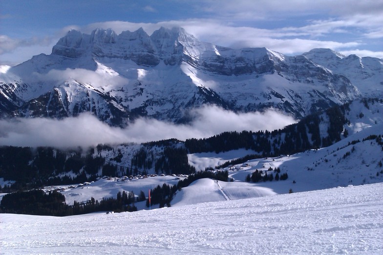
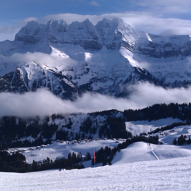
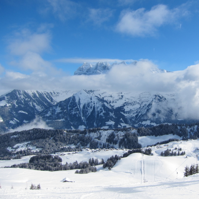
We have been coming to Champoussin for about 4 years now. We love the place - ski slopes right next to the accommodation, quiet slopes in the area, and easy access to the whole 600km+ Portes du Soleil pistes either via Les Crosets or Morgins. Morgins great for a 1/2 day or if the light is bad as the runs down to the resort are through trees and with lots of route options. Snow parks in Les Crosets and Avoriaz, snow-cross in Avoriaz - lots to keep teenagers happy ! Good restaurants throughout the area, plus a number of 'hors sac' rooms to eat a picnic. We love it!
We have been coming to Champoussin for about 4 years now. We love the place - ski slopes right next to the accommodation, quiet slopes in the area, and easy access to the whole 600km+ Portes du Soleil pistes either via Les Crosets or Morgins. Morgins great for a 1/2 day or if the light is bad as the runs down to the resort are through trees and with lots of route options. Snow parks in Les Crosets and Avoriaz, snow-cross in Avoriaz - lots to keep teenagers happy ! Good restaurants throughout the area, plus a number of 'hors sac' rooms to eat a picnic. We love it!
Free Snow-Forecast.com weather widget for your website
Embed the Champoussin weather widget on your site for free. It provides a weekly snapshot of snow and rain conditions across all elevations. Follow the two quick steps to grab your custom code and paste it into your site. Choose between metric or imperial units. Click here to get the code.


 Nearest