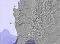
Next snow in Caviahue: 1.7cm on Tue 14th (after 9 PM local time)
View forecast
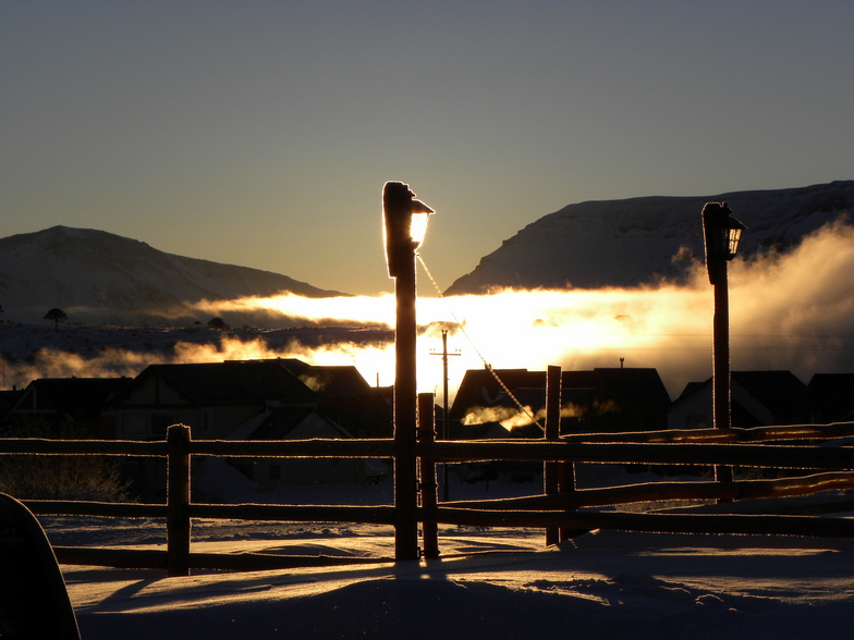
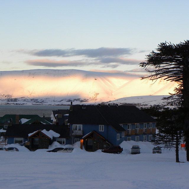
Caviahueat 1846 m altitude
Issued by Snow-Forecast.com at:2 am (local time) / 14 Jul 2026
Last 6 daysScroll left for last 6 daysNow
Next 3 days weather summary:
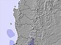
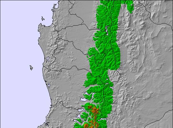
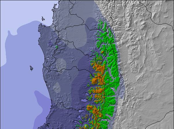
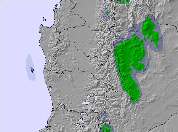
Light rain (total 7.0mm) on Tue morning. Becoming colder with heavy fall of snow, heaviest during Wed morning. Freeze-thaw conditions (max 3°C on Tue morning, min 0°C on Wed afternoon). Mainly fresh winds.
Days 4-6 weather summary:
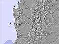
A moderate fall of snow, heaviest on Sat morning. Temperatures will be below freezing (max 0°C on Fri morning, min -5°C on Sat night). Wind will be generally light.
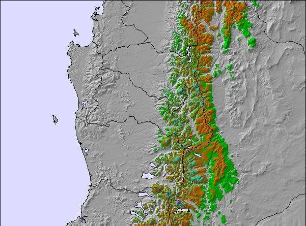
The above table gives the weather forecast for Caviahue at the specific elevation of 1846 m. Our sophisticated weather models allow us to provide snow forecasts for the top, middle and bottom ski stations of Caviahue. To access the weather forecasts for the other elevations, use the tab navigation above the table. For a wider view of the weather, check out the Weather Map of Argentina.
Click here to read further information on freezing levels and how we forecast our temperatures.
La montana y el pueblo muy lindos. En cuanto al centro de ski esta muy mal gestionado, fui en la primera semana de agosto el lugar estaba con la nieve justa y comenzaban a aparecer piedras y tierra en la pista. No habia gente que se ocupara de recorrer la pista para marcar obstaculos o sacarlos, por ahi aparecia un empleado y con una pala tiraba un poco de nieve. Los canones no andaban.
En cuanto a los paradores caros y con pocas opciones, los medios se ven abandonados no me dio ninguna seguridad , un par de veces se pararon por 15 minutos.
No volveria , los empleados muy buenos pero el gerenciamiento mediocre.
Free Snow-Forecast.com weather widget for your website
Embed the Caviahue weather widget on your site for free. It provides a weekly snapshot of snow and rain conditions across all elevations. Follow the two quick steps to grab your custom code and paste it into your site. Choose between metric or imperial units. Click here to get the code.


 Nearest