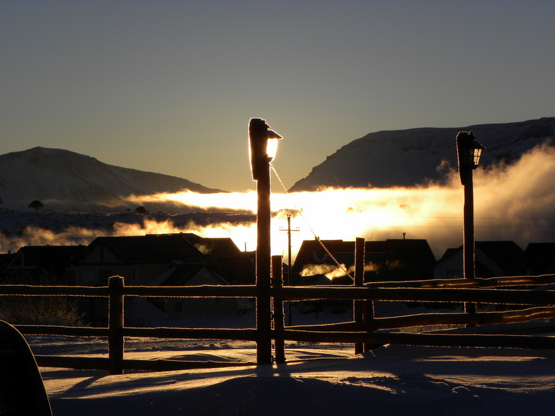
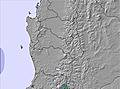
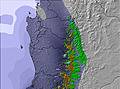
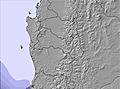
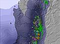
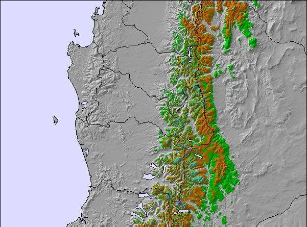
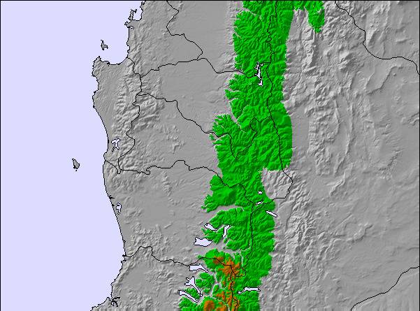
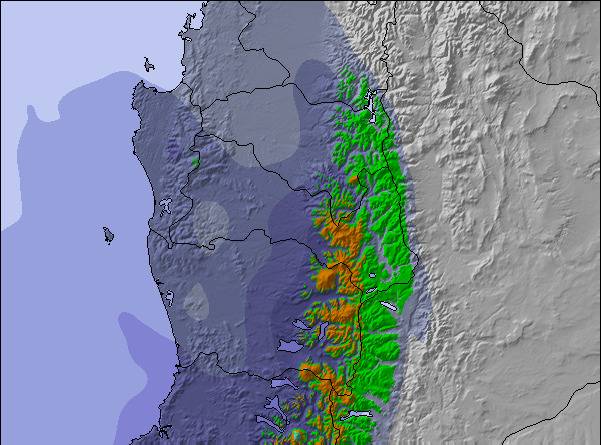
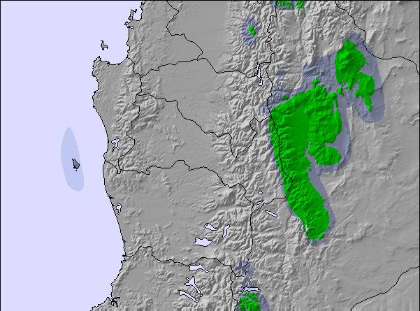
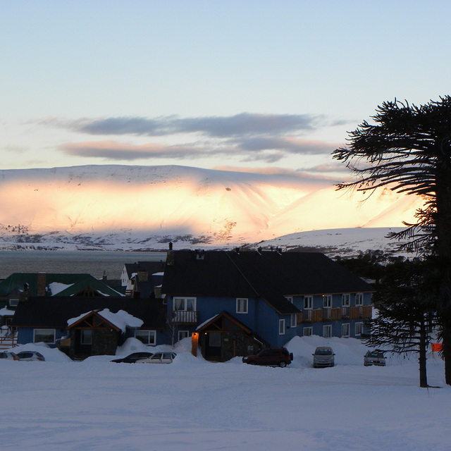
The above table gives the weather forecast for Caviahue at the specific elevation of 1647 m. Our sophisticated weather models allow us to provide snow forecasts for the top, middle and bottom ski stations of Caviahue. To access the weather forecasts for the other elevations, use the tab navigation above the table. For a wider view of the weather, check out the Weather Map of Argentina.
Click here to read further information on freezing levels and how we forecast our temperatures.
Te hablo con fundamentos. Este finde fue un PAPELON. las calles inutilizables, autos encajados por todos lados, chocados por deslizamientos, y te hablo de la calle principal que va al centro, bajar del cerro por los menos 1 hora y media. Para colmo llegamos al Hotel y no había agua, pero en el pueblo. Por ende los baños del cerro un asco total, una vergüenza. Te sigo contando, para sacar los pases andate por lo menos a las 9 am, con tiempo, en un momento había 40 personas esperando, y aplaudiendo. Ni te digo de comerte algo en Las Lengas. No había nada. Desbordado todo. Vas a un Rotisería por ejemplo la que está en frente del supermercado, y te afanan. Muy cordiales si, pero te afanan. Vas a la parrilla más famosa q está camino al cerro y te echan porque tiene que entrar más gente, increible. Ni hablar el Cerro siempre igual, ni una pista más. Cero inversión. Los pibes que laburan son de primera, pero la verdad le sacan la guita a la gente. El Intendente que excusa pone, cuando nieva se complica, por Dios, avisenle que nieva
Vamos a seguir yendo nosotros, no te preocupes, pero la mitad de la gente que fue este finde no vuelve más, por lo mismo o menos se va Chapelco u otro centro. No estoy haciendo campaña, soy un neuquino más q le gusta ir a Caviahue pero no a sufrir.
Free Snow-Forecast.com weather widget for your website
Embed the Caviahue weather widget on your site for free. It provides a weekly snapshot of snow and rain conditions across all elevations. Follow the two quick steps to grab your custom code and paste it into your site. Choose between metric or imperial units. Click here to get the code.


 Nearest