The above table gives the weather forecast for Brides Les Bains at the specific elevation of 600 m. Our sophisticated weather models allow us to provide snow forecasts for the top, middle and bottom ski stations of Brides Les Bains. To access the weather forecasts for the other elevations, use the tab navigation above the table. For a wider view of the weather, check out the Weather Map of France.
Click here to read further information on freezing levels and how we forecast our temperatures.
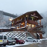
Résidence le Grand Chalet.
Brides-les-Bains est la station low cost des 3 Vallées, on sait donc pourquoi on y va.
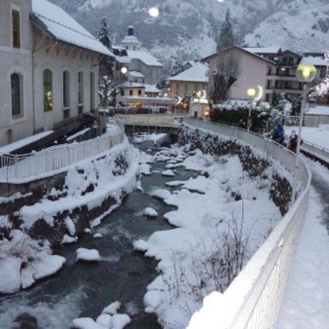
C'est un tout petit village, c'est donc relativement calme le soir, mais il y a tout de même des activités chaque jour sur la place centrale, devant la mairie.
Alors c'est vrai qu'il faut 20 minutes de cabine pour se retrouver au centre de Méribel, directement sur les pistes.
Mais une semaine en 1/2 pension avec forfait de ski pour 250€, ça vaut largement ces 20 minutes d'attente le matin (et puis ça laisse le temps de lacer ses chaussures).
Comme la neige était bonne, nous avons pu prendre en ski un itinéraire de retour jusqu'à Brides, depuis l'altiport de Méribel. C'est un chemin très sympa au milieu des sapins, mais nous avons du demander notre chemin là-haut car ce n'était pas indiqué.
Bref, pour du super ski pas cher (3 Vallées), c'est l'endroit idéal.
Si vous cherchez du ski au pied, sans limite de budget, il vaut mieux aller sur Méribel, mais les prix sont doubles !
Pierre-Jean
Brides-les-Bains est la station low cost des 3 Vallées, on sait donc pourquoi on y va.
C'est un tout petit village, c'est donc relativement calme le soir, mais il y a tout de même des activités chaque jour sur la place centrale, devant la mairie.
Alors c'est vrai qu'il faut 20 minutes de cabine pour se retrouver au centre de Méribel, directement sur les pistes.
Mais une semaine en 1/2 pension avec forfait de ski pour 250€, ça vaut largement ces 20 minutes d'attente le matin (et puis ça laisse le temps de lacer ses chaussures).
Comme la neige était bonne, nous avons pu prendre en ski un itinéraire de retour jusqu'à Brides, depuis l'altiport de Méribel. C'est un chemin très sympa au milieu des sapins, mais nous avons du demander notre chemin là-haut car ce n'était pas indiqué.
Bref, pour du super ski pas cher (3 Vallées), c'est l'endroit idéal.
Si vous cherchez du ski au pied, sans limite de budget, il vaut mieux aller sur Méribel, mais les prix sont doubles !
Free Snow-Forecast.com weather widget for your website
Embed the Brides Les Bains weather widget on your site for free. It provides a weekly snapshot of snow and rain conditions across all elevations. Follow the two quick steps to grab your custom code and paste it into your site. Choose between metric or imperial units. Click here to get the code.


 Nearest