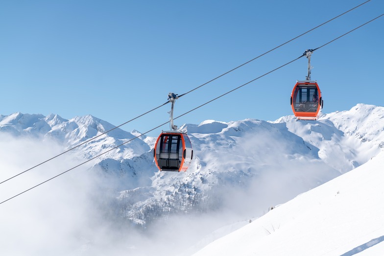
The above table gives the weather forecast for Bad Hofgastein at the specific elevation of 1570 m. Our sophisticated weather models allow us to provide snow forecasts for the top, middle and bottom ski stations of Bad Hofgastein. To access the weather forecasts for the other elevations, use the tab navigation above the table. For a wider view of the weather, check out the Weather Map of Austria.
Click here to read further information on freezing levels and how we forecast our temperatures.
This is a limited review of Bad Hofgastein as we were based in Dorfgastein, and because our holiday was truncated by an injury sustained by me on day three of our week.
Dorfgastein is a quiet village and if it’s apres ski you are looking for, this is not the place. However, there are a number of restaurants and bars. Conveniently, there is a shuttle bus which runs round the village to the Gipfelbahn Fulseck.
As a previous reviewer noted, the runs here are pretty challenging. The only really easy skiing is between the top of the Kreuzkogel and the mid station of the Panoramabahn on the Grossarl side of the mountain. Most of blues are quite steep, the reds even more so. In fact, some would be categorised as soft blacks in other resorts. So, I wouldn’t recommend either Dorfgastein or Grossarl for absolute beginners.
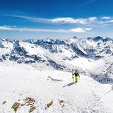
I can’t comment too much about the rest of the valley. Our initial impression of Bad Hofgastein is that the runs were somewhat easier and the long red from Hohe Scharte to the mid lift station was excellent. Immediately after that, disaster struck. As I was incapacitated, on day four we decided to go to Sportgastein for a look around. It’s definitely worth visiting at least once. It’s quite high, so will probably be in better condition than the other valley resorts early and late in the season. The skiing is on open slopes, nearly all reds. The views and scenery are superb, but definitely not the place to go in bad weather, as there’s no tree cover. Money saving tip: take the ski bus, otherwise it will cost you 5.50 euros per person if you drive along the toll road.
This is a limited review of Bad Hofgastein as we were based in Dorfgastein, and because our holiday was truncated by an injury sustained by me on day three of our week.
Dorfgastein is a quiet village and if it’s apres ski you are looking for, this is not the place. However, there are a number of restaurants and bars. Conveniently, there is a shuttle bus which runs round the village to the Gipfelbahn Fulseck.
As a previous reviewer noted, the runs here are pretty challenging. The only really easy skiing is between the top of the Kreuzkogel and the mid station of the Panoramabahn on the Grossarl side of the mountain. Most of blues are quite steep, the reds even more so. In fact, some would be categorised as soft blacks in other resorts. So, I wouldn’t recommend either Dorfgastein or Grossarl for absolute beginners.
I can’t comment too much about the rest of the valley. Our initial impression of Bad Hofgastein is that the runs were somewhat easier and the long red from Hohe Scharte to the mid lift station was excellent. Immediately after that, disaster struck. As I was incapacitated, on day four we decided to go to Sportgastein for a look around. It’s definitely worth visiting at least once. It’s quite high, so will probably be in better condition than the other valley resorts early and late in the season. The skiing is on open slopes, nearly all reds. The views and scenery are superb, but definitely not the place to go in bad weather, as there’s no tree cover. Money saving tip: take the ski bus, otherwise it will cost you 5.50 euros per person if you drive along the toll road.
Free Snow-Forecast.com weather widget for your website
Embed the Bad Hofgastein weather widget on your site for free. It provides a weekly snapshot of snow and rain conditions across all elevations. Follow the two quick steps to grab your custom code and paste it into your site. Choose between metric or imperial units. Click here to get the code.


 Nearest