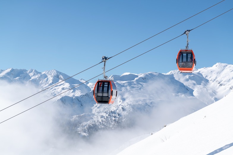


Global Weekly Snow Roundup #320
Weekly Snow News for the world, updated 25 June 2026: Chile and New Zealand's seasons proper set to begin, Tignes and Sunshine reopen for summer skiing. weekend as Riksgransen ends its 2026 season.

Next 3 days weather summary:Heavy rain (total 30.0mm), heaviest during Mon afternoon. Very mild (max 17°C on Sun afternoon, min 11°C on Mon night). Wind will be generally light. | Days 4-6 weather summary:Heavy rain (total 25.0mm), heaviest during Wed night. Very mild (max 13°C on Wed afternoon, min 3°C on Fri night). Wind will be generally light. | ||||||||||||||||
Sun 28 | Monday 29 | Tuesday 30 | Wednesday 1 | Thursday 2 | Friday 3 | ||||||||||||
PM | night | AM | PM | night | AM | PM | night | AM | PM | night | AM | PM | night | AM | PM | night | |
mod. rain | rain shwrs | clear | heavy rain | rain shwrs | some clouds | t-storm risk | rain shwrs | t-storm risk | t-storm risk | rain shwrs | clear | clear | some clouds | t-storm risk | t-storm risk | rain shwrs | |
km/h | |||||||||||||||||
Snow map |  |  |  |  |  |  | |||||||||||
— | — | — | — | — | — | — | — | — | — | — | — | — | — | — | — | — | |
mm | 9 | 2 | — | 13 | 1 | — | 1 | 3 | 1 | 5 | 12 | — | — | — | 1 | 5 | 2 |
max °C | 17 | 13 | 15 | 16 | 12 | 14 | 16 | 14 | 13 | 13 | 7 | 9 | 12 | 11 | 8 | 8 | 5 |
min °C | 13 | 12 | 13 | 12 | 11 | 12 | 16 | 11 | 11 | 11 | 5 | 7 | 11 | 8 | 8 | 6 | 3 |
chill °C | 13 | 12 | 13 | 12 | 11 | 11 | 16 | 11 | 11 | 10 | 2 | 5 | 10 | 6 | 6 | 2 | -2 |
Humid % | 74 | 61 | 56 | 81 | 63 | 63 | 60 | 71 | 70 | 94 | 86 | 49 | 50 | 76 | 80 | 73 | 74 |
Freeze m | 4500 | 4500 | 4350 | 4400 | 4350 | 4200 | 4350 | 4300 | 4150 | 4100 | 3400 | 3500 | 3900 | 3700 | 3400 | 3200 | 2800 |
— | — | 5:13 | — | — | 5:13 | — | — | 5:15 | — | — | 5:15 | — | — | 5:16 | — | — | |
— | 9:07 | — | — | 9:06 | — | — | 9:06 | — | — | 9:06 | — | — | 9:06 | — | — | 9:06 | |
Go pro and carve into:
Avalanche information: European Avalanche Warning Services (EAWS)
Latest snow reports near Bad Hofgastein:
| Top snow depth: | 0 cm |
|---|---|
| Bottom snow depth: | 0 cm |
| Fresh snowfall depth: | — |
| Last snowfall: | 10 Jun 2026 |
| Snow Alerts | Create Alert |
0.0 | Bluebird Powder days Fresh snow, mostly sunny, light wind. |
|---|---|
0.1 | Powder days Fresh snow, limited sun, any wind. |
0.1 | Bluebird days Average snow, mostly sunny, light wind. |
The above table gives the weather forecast for Bad Hofgastein at the specific elevation of 2300 m. Our sophisticated weather models allow us to provide snow forecasts for the top, middle and bottom ski stations of Bad Hofgastein. To access the weather forecasts for the other elevations, use the tab navigation above the table. For a wider view of the weather, check out the Weather Map of Austria.
Click here to read further information on freezing levels and how we forecast our temperatures.
Overall 4.0 Based on 21 votes and 13 reviews
All the reviews on here are ancient! So thought we would update you. The skiing in the Gastein Valley is awesome! The lift system has greatly improved and we really love the skiing from Dorfgastein over to Wassarl, fab restaurants, very uncrowded and the most amazing sweeping long runs all the way to Wassarl. From Bad hofgastein you can reach the whole valley, even sportgastein, which is great for late season of poorer snow conditions..its high! Badhofgastein offer a great thermal spa and many local hotels include entry, its one of the best we have even visited a great way to spend the day for non skiers. If you have a car the ski pass covers the whole ski amade system and its well worth the drive to Deinten where you can access the whole Hochkonig area, which is huge and great skiing for those liking big long blue runs!
Barband Stew from United Kingdom writes:
All the reviews on here are ancient! So thought we would update you.
The skiing in the Gastein Valley is awesome! The lift system has greatly improved and we really love the skiing from Dorfgastein over to Wassarl, fab restaurants, very uncrowded and the most amazing sweeping long runs all the way to Wassarl. From Bad hofgastein you can reach the whole valley, even sportgastein, which is great for late season of poorer snow conditions..its high! Badhofgastein offer a great thermal spa and many local hotels include entry, its one of the best we have even visited a great way to spend the day for non skiers.
If you have a car the ski pass covers the whole ski amade system and its well worth the drive to Deinten where you can access the whole Hochkonig area, which is huge and great skiing for those liking big long blue runs!


 Nearest