

America’s Next Indoor Snow Centre Takes Shape
Construction of a new indoor snow centre for skiers, boarders and tubers appears to be making good progress at Heritage Farm in Wayne County, West Virginia.

Next 4 days weather summary:Light rain (total 8.0mm), mostly falling on Tue morning. Very mild (max 18°C on Mon night, min 11°C on Tue night). Wind will be generally light. | Days 5-7 weather summary:Heavy rain (total 41.0mm), heaviest during Sat night. Warm (max 20°C on Sat morning, min 8°C on Sat night). Wind will be generally light. | |||||||||||||||
Tuesday 21 | Wednesday 22 | Thursday 23 | Friday 24 | Saturday 25 | ||||||||||||
night | AM | PM | night | AM | PM | night | AM | PM | night | AM | PM | night | AM | PM | night | |
rain shwrs | t-storm risk | t-storm risk | clear | clear | clear | clear | some clouds | clear | clear | clear | clear | clear | some clouds | rain shwrs | heavy rain | |
km/h | ||||||||||||||||
Snow map |  |  |  |  |  |  | ||||||||||
— | — | — | — | — | — | — | — | — | — | — | — | — | — | — | — | |
mm | 1 | 4 | 3 | — | — | — | — | — | — | — | — | — | — | — | 1 | 34 |
max °C | 18 | 14 | 16 | 15 | 14 | 18 | 16 | 14 | 17 | 15 | 15 | 19 | 17 | 20 | 20 | 15 |
min °C | 13 | 12 | 15 | 11 | 12 | 17 | 12 | 12 | 16 | 11 | 12 | 18 | 15 | 16 | 18 | 8 |
chill °C | 13 | 12 | 15 | 11 | 12 | 17 | 12 | 12 | 16 | 11 | 12 | 18 | 15 | 16 | 18 | 8 |
Humid % | 60 | 69 | 49 | 55 | 43 | 38 | 45 | 46 | 39 | 50 | 31 | 28 | 39 | 27 | 39 | 97 |
Freeze m | 3950 | 3650 | 3550 | 3850 | 4000 | 3850 | 3850 | 3650 | 3600 | 4150 | 4300 | 4150 | 4150 | 4200 | 4150 | 3450 |
— | 6:03 | — | — | 6:05 | — | — | 6:05 | — | — | 6:07 | — | — | 6:07 | — | — | |
— | — | — | 9:15 | — | — | 9:14 | — | — | 9:13 | — | — | 9:12 | — | — | 9:10 | |
Go pro and carve into:
Avalanche information: European Avalanche Warning Services (EAWS)
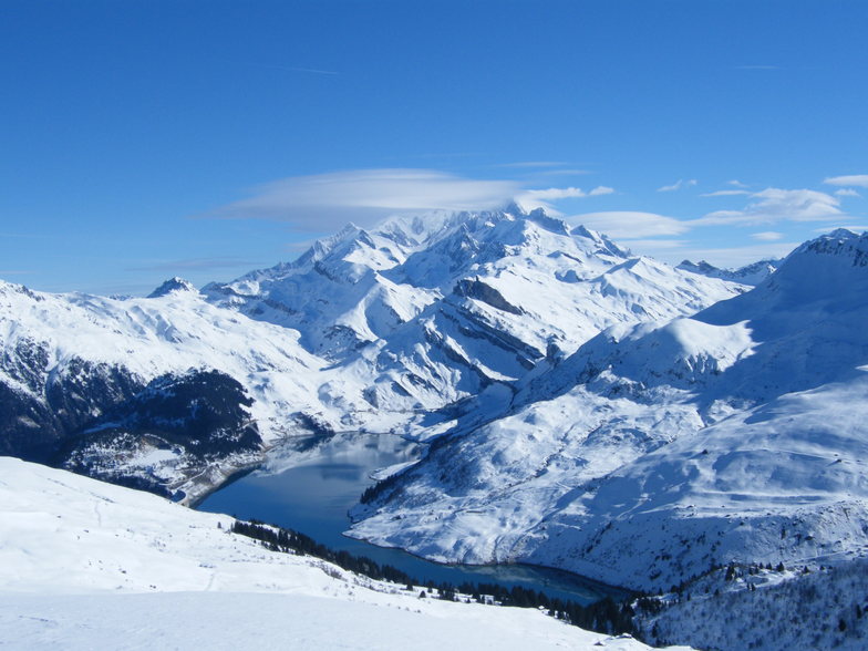
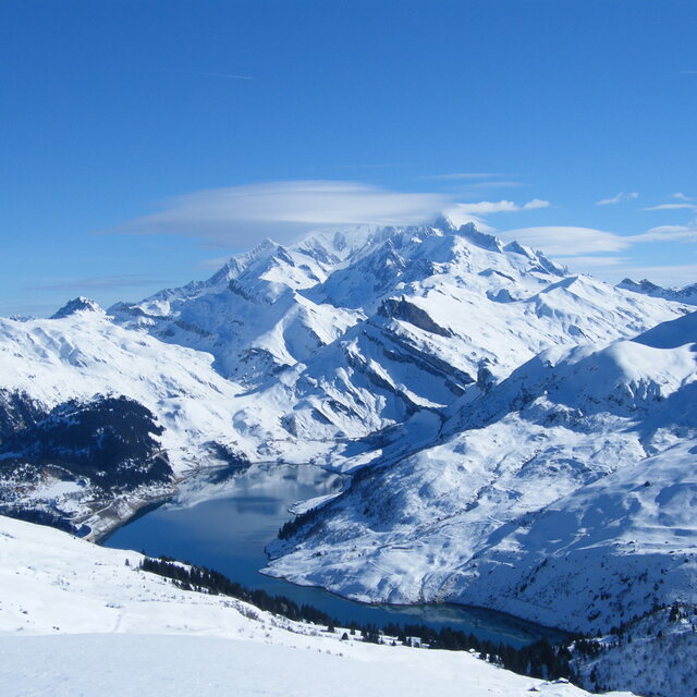
Latest snow reports near Arêches-Beaufort:
No information received. Clear blue skies, all lifts open. from La Giettaz en Aravis
| Top snow depth: | 0 cm |
|---|---|
| Bottom snow depth: | 0 cm |
| Fresh snowfall depth: | — |
| Last snowfall: | 16 May 2026 |
| Snow Alerts | Create Alert |
0.0 | Bluebird Powder days Fresh snow, mostly sunny, light wind. |
|---|---|
0.0 | Powder days Fresh snow, limited sun, any wind. |
0.0 | Bluebird days Average snow, mostly sunny, light wind. |
The above table gives the weather forecast for Arêches-Beaufort at the specific elevation of 1675 m. Our sophisticated weather models allow us to provide snow forecasts for the top, middle and bottom ski stations of Arêches-Beaufort. To access the weather forecasts for the other elevations, use the tab navigation above the table. For a wider view of the weather, check out the Weather Map of France.
Click here to read further information on freezing levels and how we forecast our temperatures.
Resort name is also written as Areches Beaufort.
Overall 4.2 Based on 8 votes and 3 reviews
Station sympa et restee tres savoyarde. Si ellez ne vous plait pas allez a courchevel .tarifs peut etre plus.
guillot from France writes:
Station sympa et restee tres savoyarde. Si ellez ne vous plait pas allez a courchevel .tarifs peut etre plus.


 Nearest