

Global Weekly Snow Roundup #320
Weekly Snow News for the world, updated 25 June 2026: Chile and New Zealand's seasons proper set to begin, Tignes and Sunshine reopen for summer skiing. weekend as Riksgransen ends its 2026 season.

Next 3 days weather summary:Heavy rain (total 27.0mm), heaviest during Mon afternoon. Very mild (max 19°C on Sun afternoon, min 11°C on Tue night). Wind will be generally light. | Days 4-6 weather summary:Light rain (total 2.0mm), mostly falling on Wed morning. Very mild (max 13°C on Wed afternoon, min 9°C on Wed night). Wind will be generally light. | |||||||||||||||||
Sunday 28 | Monday 29 | Tuesday 30 | Wednesday 1 | Thursday 2 | Friday 3 | |||||||||||||
AM | PM | night | AM | PM | night | AM | PM | night | AM | PM | night | AM | PM | night | AM | PM | night | |
t-storm risk | clear | rain shwrs | clear | t-storm risk | rain shwrs | t-storm risk | mod. rain | rain shwrs | rain shwrs | some clouds | clear | clear | clear | clear | clear | some clouds | clear | |
km/h | ||||||||||||||||||
Snow map |  |  |  |  |  |  | ||||||||||||
— | — | — | — | — | — | — | — | — | — | — | — | — | — | — | — | — | — | |
mm | 1 | — | 1 | — | 6 | 7 | 1 | 7 | 4 | 2 | — | — | — | — | — | — | — | — |
max °C | 16 | 19 | 17 | 15 | 16 | 13 | 13 | 13 | 12 | 12 | 13 | 11 | 11 | 13 | 12 | 12 | 13 | 13 |
min °C | 15 | 18 | 13 | 14 | 14 | 12 | 12 | 13 | 11 | 11 | 13 | 9 | 10 | 12 | 10 | 11 | 13 | 12 |
chill °C | 15 | 18 | 13 | 14 | 14 | 12 | 12 | 13 | 11 | 11 | 12 | 7 | 9 | 12 | 9 | 10 | 13 | 12 |
Humid % | 48 | 41 | 62 | 55 | 77 | 68 | 72 | 78 | 80 | 67 | 64 | 49 | 42 | 59 | 42 | 53 | 65 | 66 |
Freeze m | 4500 | 4650 | 4450 | 4500 | 4300 | 4400 | 4300 | 4300 | 4300 | 4000 | 3950 | 3950 | 4000 | 3950 | 4350 | 4050 | 4150 | 4350 |
5:46 | — | — | 5:46 | — | — | 5:47 | — | — | 5:47 | — | — | 5:48 | — | — | 5:48 | — | — | |
— | — | 9:27 | — | — | 9:27 | — | — | 9:27 | — | — | 9:25 | — | — | 9:25 | — | — | 9:25 | |
Go pro and carve into:
Avalanche information: European Avalanche Warning Services (EAWS)
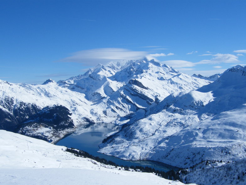
Latest snow reports near Arêches-Beaufort:
| Top snow depth: | 0 cm |
|---|---|
| Bottom snow depth: | 0 cm |
| Fresh snowfall depth: | — |
| Last snowfall: | 16 May 2026 |
| Snow Alerts | Create Alert |
0.0 | Bluebird Powder days Fresh snow, mostly sunny, light wind. |
|---|---|
0.0 | Powder days Fresh snow, limited sun, any wind. |
0.0 | Bluebird days Average snow, mostly sunny, light wind. |
The above table gives the weather forecast for Arêches-Beaufort at the specific elevation of 2300 m. Our sophisticated weather models allow us to provide snow forecasts for the top, middle and bottom ski stations of Arêches-Beaufort. To access the weather forecasts for the other elevations, use the tab navigation above the table. For a wider view of the weather, check out the Weather Map of France.
Click here to read further information on freezing levels and how we forecast our temperatures.
Resort name is also written as Areches Beaufort.
Overall 4.2 Based on 8 votes and 3 reviews
Been there a few years ago and I really enjoyed my time, it was a bad day but the powder was excellent, the village is very nice, a proper savoyard village with a few cheese shops where you could find the Beaufort cheese hmmmmmmm!!! delicious.
anthony from France writes:
Been there a few years ago and I really enjoyed my time, it was a bad day but the powder was excellent, the village is very nice, a proper savoyard village with a few cheese shops where you could find the Beaufort cheese hmmmmmmm!!! delicious.


 Nearest