The above table gives the weather forecast for Arêches-Beaufort at the specific elevation of 1050 m. Our sophisticated weather models allow us to provide snow forecasts for the top, middle and bottom ski stations of Arêches-Beaufort. To access the weather forecasts for the other elevations, use the tab navigation above the table. For a wider view of the weather, check out the Weather Map of France.
Click here to read further information on freezing levels and how we forecast our temperatures.
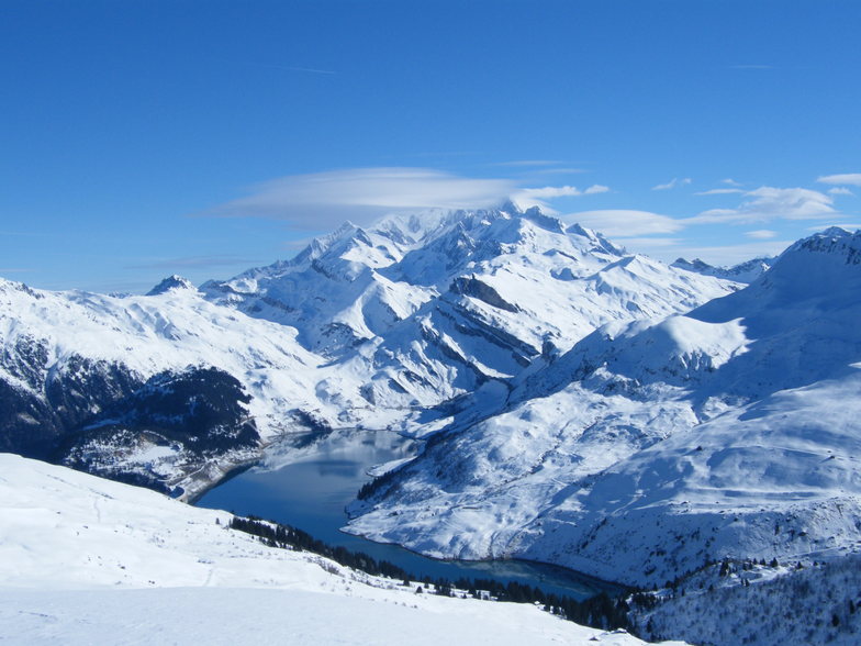
Beaufort is certainly one of the best places to find traditional French skiing. Set with few foreigners, few Parisians and a lot of fresh snow. Restaurants are typically alpine style. Cheap, good. Folk are kind.
Try the famous "Beaufort" cheese. Delicious whith a red savoyard wine like "Mondeuse".
Beaufort is a very snowy and cold village where Frison Roche, the famous French alpine writer, used to live.
Huge forest where you're skiing down hard slopes.
Hotels and flats are cheap.
From Albertville the famous '92 Olympic games city, you drive 25 KM, then you find the bottom of the world!
You can ski from end of November to end of April, snow is deep every time!
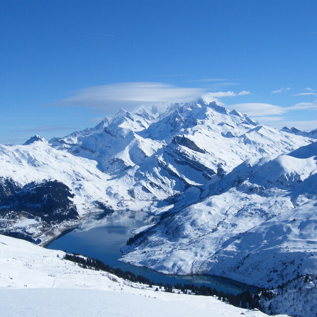
Free Snow-Forecast.com weather widget for your website
Embed the Arêches-Beaufort weather widget on your site for free. It provides a weekly snapshot of snow and rain conditions across all elevations. Follow the two quick steps to grab your custom code and paste it into your site. Choose between metric or imperial units. Click here to get the code.


 Nearest