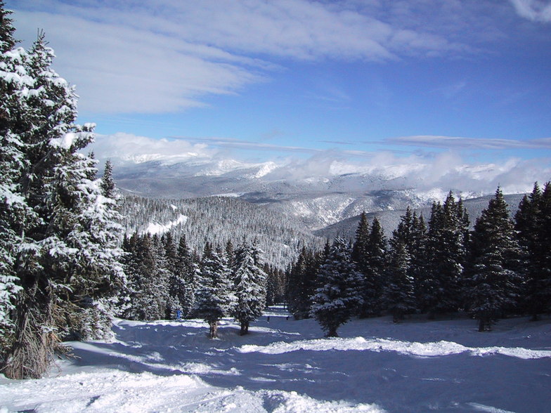


Portillo Re-Opens To Guests Arriving By Helicopter
Chile’s famous Portillo ski resort is reported to have re-opened to guests arriving by helicopter after being cut off by road for more than two weeks by over 6m/20 feet of snowfall.

Next 3 days weather summary:Mostly dry. Very mild (max 18°C on Mon afternoon, min 4°C on Mon night). Winds increasing (calm on Mon night, fresh winds from the WNW by Wed afternoon). | Days 4-6 weather summary:Mostly dry. Very mild (max 19°C on Fri afternoon, min 11°C on Thu night). Wind will be generally light. | |||||||||||||||||
Monday 3 | Tuesday 4 | Wednesday 5 | Thursday 6 | Friday 7 | Saturday 8 | |||||||||||||
AM | PM | night | AM | PM | night | AM | PM | night | AM | PM | night | AM | PM | night | AM | PM | night | |
clear | cloudy | some clouds | clear | cloudy | some clouds | clear | some clouds | clear | clear | cloudy | clear | clear | some clouds | clear | clear | cloudy | some clouds | |
km/h | ||||||||||||||||||
Snow map |  |  |  | 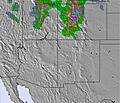 | 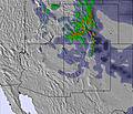 | 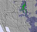 | ||||||||||||
— | — | — | — | — | — | — | — | — | — | — | — | — | — | — | — | — | — | |
mm | — | — | — | — | — | — | — | — | — | — | — | — | — | — | — | — | — | — |
max °C | 17 | 18 | 9 | 15 | 17 | 8 | 13 | 15 | 11 | 14 | 17 | 13 | 17 | 19 | 15 | 18 | 19 | 12 |
min °C | 15 | 16 | 4 | 11 | 14 | 6 | 10 | 15 | 8 | 12 | 17 | 11 | 14 | 18 | 11 | 15 | 16 | 11 |
chill °C | 14 | 15 | 2 | 9 | 13 | 3 | 7 | 13 | 6 | 10 | 16 | 11 | 14 | 18 | 11 | 15 | 16 | 11 |
Humid % | 25 | 27 | 43 | 33 | 25 | 60 | 19 | 10 | 18 | 17 | 15 | 17 | 14 | 15 | 22 | 22 | 20 | 33 |
Freeze m | 5500 | 5650 | 4800 | 5200 | 5500 | 4850 | 5100 | 5450 | 5050 | 5200 | 5500 | 5200 | 5400 | 5600 | 5250 | 5400 | 5650 | 5300 |
6:03 | — | — | 6:03 | — | — | 6:05 | — | — | 6:05 | — | — | 6:05 | — | — | 6:07 | — | — | |
— | 8:14 | — | — | 8:13 | — | — | 8:12 | — | — | 8:10 | — | — | 8:09 | — | — | 8:07 | — | |
Go pro and carve into:
Avalanche information: Colorado Avalanche Information Center
Latest snow reports near Winter Park:
| Top snow depth: | 0 cm |
|---|---|
| Bottom snow depth: | 0 cm |
| Fresh snowfall depth: | — |
| Last snowfall: | 22 May 2026 |
| Snow Alerts | Create Alert |
0.0 | Bluebird Powder days Fresh snow, mostly sunny, light wind. |
|---|---|
0.0 | Powder days Fresh snow, limited sun, any wind. |
0.0 | Bluebird days Average snow, mostly sunny, light wind. |
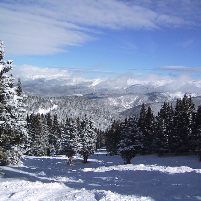
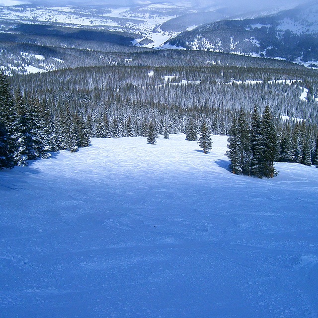
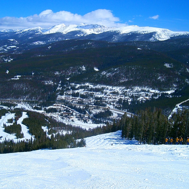
The above table gives the weather forecast for Winter Park at the specific elevation of 3674 m. Our sophisticated weather models allow us to provide snow forecasts for the top, middle and bottom ski stations of Winter Park. To access the weather forecasts for the other elevations, use the tab navigation above the table. For a wider view of the weather, check out the Weather Map of United States.
Click here to read further information on freezing levels and how we forecast our temperatures.
Overall 4.1 Based on 22 votes and 6 reviews
I went to Winter Park in March, 2014. Loved. I had 17 hours of snowboarding classes that should be group, but it was only myself and the teacher. I passed from beginner level to intermediate. I went by myself and on the day before the last I broke my arm. The doctors and all the crew were so kind and helped me with everything. I had insurance, so I did not have to spend any more money. And they gave me back 142 dollars for I could not use the resort for a day. Locals are really friendly and I made some friends over there. It is sooooo beautiful. But, the pistes are more ski like than snowboarding. And the snow..! Powder most of the days! Good amount of snow fall! Loved. Recommend.
Graziela from Brazil writes:
I went to Winter Park in March, 2014. Loved. I had 17 hours of snowboarding classes that should be group, but it was only myself and the teacher. I passed from beginner level to intermediate. I went by myself and on the day before the last I broke my arm. The doctors and all the crew were so kind and helped me with everything. I had insurance, so I did not have to spend any more money. And they gave me back 142 dollars for I could not use the resort for a day. Locals are really friendly and I made some friends over there. It is sooooo beautiful. But, the pistes are more ski like than snowboarding. And the snow..! Powder most of the days! Good amount of snow fall! Loved. Recommend.


 Nearest