


Global Weekly Snow Roundup #314
Weekly Global Snow News, updated 14 May 2026: Fresh snowfall in Argentina, Australia and Lesotho signals winter’s approach, while Japan maintains the world’s deepest snowpack.

Next 4 days weather summary:A light fall of snow, heaviest on Sat morning. Turning milder with light rain (total 5.0mm) on Sat afternoon. Freeze-thaw conditions (max 9°C on Mon afternoon, min -3°C on Sat night). Winds decreasing (strong winds from the W on Sat morning, calm by Mon morning). | Days 5-7 weather summary:Mostly dry. Very mild (max 16°C on Thu afternoon, min 2°C on Mon night). Wind will be generally light. | |||||||||||||||
Saturday 16 | Sunday 17 | Monday 18 | Tuesday 19 | Wednesday 20 | ||||||||||||
night | AM | PM | night | AM | PM | night | AM | PM | night | AM | PM | night | AM | PM | night | |
light snow | light snow | snow shwrs | light snow | light snow | snow shwrs | clear | rain shwrs | rain shwrs | some clouds | some clouds | cloudy | some clouds | some clouds | some clouds | some clouds | |
km/h | ||||||||||||||||
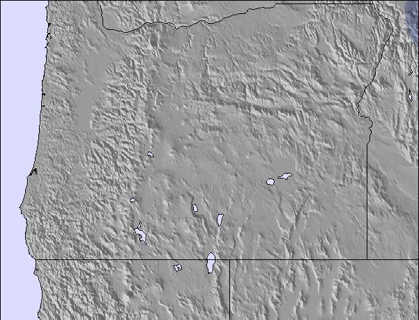
Snow map | 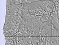 | 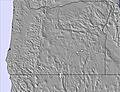 | 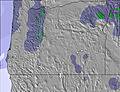 | 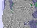 |  |  | ||||||||||
1 | 3 | 1 | 3 | 3 | — | — | — | — | — | — | — | — | — | — | — | |
1 | — | 2 | — | — | — | — | 1 | 1 | — | — | — | — | — | — | — | |
max °C | 2 | 0 | 3 | 0 | -1 | 4 | 2 | 8 | 9 | 6 | 9 | 10 | 7 | 12 | 13 | 8 |
min °C | -1 | -2 | 2 | -3 | -2 | 2 | 0 | 5 | 9 | 2 | 6 | 9 | 4 | 7 | 13 | 6 |
-7 | -9 | -5 | -7 | -5 | 0 | -3 | 5 | 7 | -1 | 5 | 6 | 3 | 6 | 12 | 3 | |
99 | 88 | 61 | 98 | 95 | 72 | 64 | 60 | 47 | 54 | 57 | 57 | 68 | 52 | 51 | 54 | |
1500 | 1400 | 1800 | 1150 | 1300 | 2000 | 2250 | 2350 | 2550 | 2350 | 2400 | 2550 | 2450 | 2650 | 3100 | 3450 | |
— | 5:20 | — | — | 5:18 | — | — | 5:16 | — | — | 5:16 | — | — | 5:15 | — | — | |
— | — | — | 8:16 | — | — | 8:17 | — | — | 8:20 | — | — | 8:21 | — | — | 8:22 | |
Latest snow reports near Spout Springs:
| Top snow depth: | — |
|---|---|
| Bottom snow depth: | — |
| Fresh snowfall depth: | — |
| Last snowfall: | 13 May 2026 |
| Snow Alerts | Create Alert |
0.0 | Bluebird Powder days Fresh snow, mostly sunny, light wind. |
|---|---|
0.1 | Powder days Fresh snow, limited sun, any wind. |
0.0 | Bluebird days Average snow, mostly sunny, light wind. |
The above table gives the weather forecast for Spout Springs at the specific elevation of 1493 m. Our sophisticated weather models allow us to provide snow forecasts for the top, middle and bottom ski stations of Spout Springs. To access the weather forecasts for the other elevations, use the tab navigation above the table. For a wider view of the weather, check out the Weather Map of United States.
Click here to read further information on freezing levels and how we forecast our temperatures.
My family and I had a wonderful time at this resort (Spout Springs). All three kids successfully learned to ski while my wife and I enjoyed good food and a full bar. I would recommend this place to anyone willing to make the drive! The reviews say it is a small hill but it is the same size as any of the competition in the area (Bluewood & Anthony Lakes). Plus, it is the only one out of the three that is still family run. The two mentioned above are now, as of 2010-2011 season, run by state and county entities. Support local families.
Ralph from United States writes:
My family and I had a wonderful time at this resort (Spout Springs). All three kids successfully learned to ski while my wife and I enjoyed good food and a full bar.
I would recommend this place to anyone willing to make the drive!
The reviews say it is a small hill but it is the same size as any of the competition in the area (Bluewood & Anthony Lakes). Plus, it is the only one out of the three that is still family run. The two mentioned above are now, as of 2010-2011 season, run by state and county entities.
Support local families.

 Nearest