


America’s Next Indoor Snow Centre Takes Shape
Construction of a new indoor snow centre for skiers, boarders and tubers appears to be making good progress at Heritage Farm in Wayne County, West Virginia.

Next 3 days weather summary:Mostly dry. Warm (max 28°C on Wed afternoon, min 19°C on Mon night). Wind will be generally light. | Days 4-6 weather summary:Light rain (total 7.0mm), mostly falling on Thu afternoon. Warm (max 25°C on Thu morning, min 14°C on Sat night). Winds increasing (light winds from the SSE on Thu morning, fresh winds from the W by Fri afternoon). | |||||||||||||||||
Monday 20 | Tuesday 21 | Wednesday 22 | Thursday 23 | Friday 24 | Saturday 25 | |||||||||||||
AM | PM | night | AM | PM | night | AM | PM | night | AM | PM | night | AM | PM | night | AM | PM | night | |
cloudy | cloudy | some clouds | clear | some clouds | some clouds | some clouds | cloudy | some clouds | t-storm risk | mod. rain | clear | clear | clear | clear | clear | clear | clear | |
km/h | ||||||||||||||||||
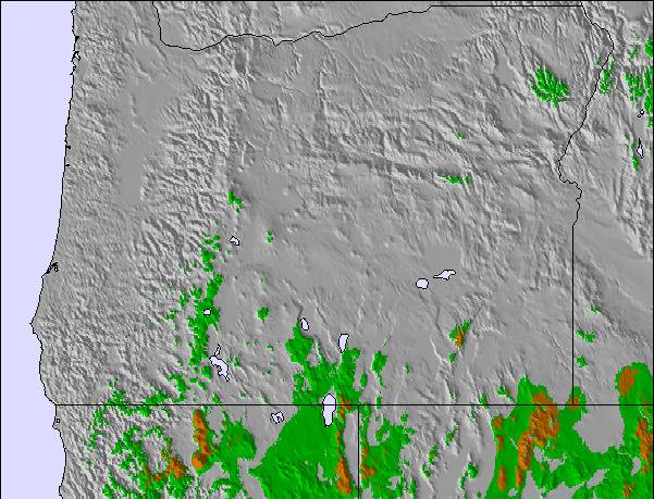
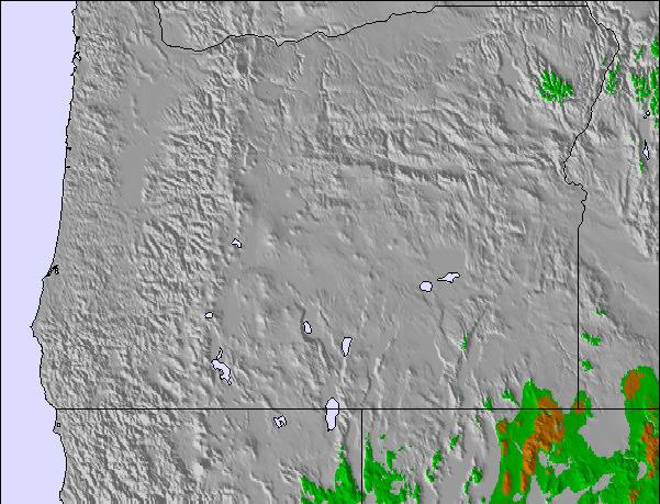
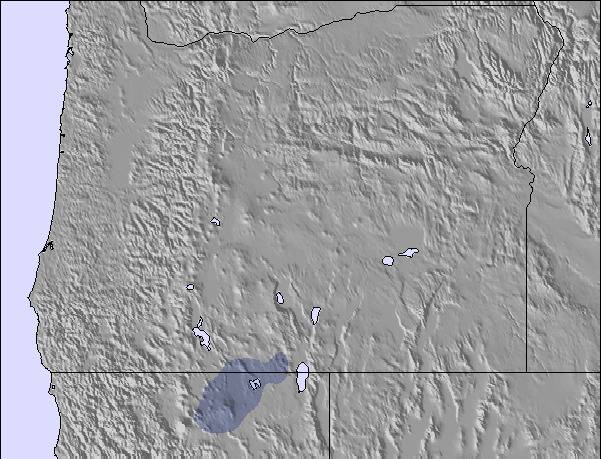
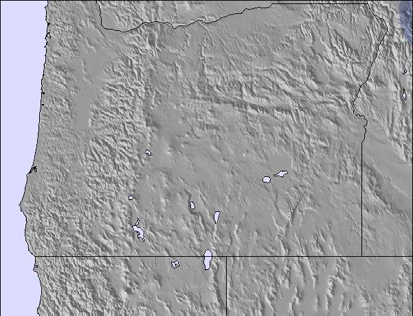
Snow map | 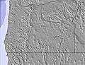 | 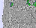 | 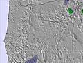 | 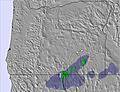 | 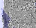 | 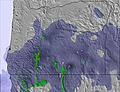 | ||||||||||||
— | — | — | — | — | — | — | — | — | — | — | — | — | — | — | — | — | — | |
mm | — | — | — | — | — | — | — | — | — | 1 | 6 | — | — | — | — | — | — | — |
max °C | 23 | 23 | 22 | 23 | 26 | 25 | 25 | 28 | 27 | 25 | 24 | 21 | 21 | 23 | 21 | 20 | 23 | 21 |
min °C | 20 | 22 | 19 | 19 | 25 | 23 | 22 | 27 | 22 | 21 | 20 | 18 | 17 | 22 | 16 | 16 | 23 | 14 |
chill °C | 20 | 22 | 19 | 19 | 25 | 23 | 22 | 27 | 22 | 21 | 20 | 18 | 17 | 22 | 16 | 16 | 23 | 13 |
Humid % | 17 | 22 | 27 | 34 | 29 | 31 | 26 | 21 | 39 | 36 | 71 | 46 | 43 | 37 | 44 | 28 | 27 | 48 |
Freeze m | 5000 | 4900 | 5050 | 4900 | 5050 | 5000 | 4800 | 5050 | 4850 | 4800 | 4800 | 4600 | 4450 | 4700 | 4650 | 4550 | 4750 | 4550 |
5:20 | — | — | 5:22 | — | — | 5:22 | — | — | 5:24 | — | — | 5:24 | — | — | 5:26 | — | — | |
— | — | 8:34 | — | — | 8:32 | — | — | 8:31 | — | — | 8:30 | — | — | 8:30 | — | — | 8:29 | |
Go pro and carve into:
Avalanche information: National Avalanche Center
Latest snow reports near Spout Springs:
| Top snow depth: | — |
|---|---|
| Bottom snow depth: | — |
| Fresh snowfall depth: | — |
| Last snowfall: | 25 May 2026 |
| Snow Alerts | Create Alert |
0.0 | Bluebird Powder days Fresh snow, mostly sunny, light wind. |
|---|---|
0.0 | Powder days Fresh snow, limited sun, any wind. |
0.0 | Bluebird days Average snow, mostly sunny, light wind. |
The above table gives the weather forecast for Spout Springs at the specific elevation of 1577 m. Our sophisticated weather models allow us to provide snow forecasts for the top, middle and bottom ski stations of Spout Springs. To access the weather forecasts for the other elevations, use the tab navigation above the table. For a wider view of the weather, check out the Weather Map of United States.
Click here to read further information on freezing levels and how we forecast our temperatures.
I advise everyone to avoid this place like the Plague. It is a small hill but has great snow: the problem is that it is run by idiots and most of the lifties smelled of weed. Not the people I want running the Lift. I showed up to ride powder which they had plenty of but an hour into the day the owner shuts down the lift that allows access to the non-beginner runs. The reason I was given was that there was not enough customers to keep it running. They were shutting down to give lifties a lunch break. That is just plain stupid. I'm sorry that they had few customers but that's not my problem. Nothing about the situation was mentioned as I purchased my ticket. I was talking to the owner, you would think that might come up. I had been to Anthony Lakes the day before and should have stayed and rode there another day. They did open lift back up after I complained, some punk know-it-all argued that all resorts close lifts to give the lifties a lunch break. Complete hogwash! I have been skiing/riding for 30 plus years and have never seen that done. Don't spend any of your hard earned cash at this podunk backasswards ski area. They will never get another penny from me again. I had planned on eating there before heading back home but opted for a mickey d's burger instead. I think they should do some drug testing where druggies are operating equipment that hauls the public. To the owner of this place, get some marketing help from some one that knows up from down. Unless you want your business to fade into history,
Brent from United States writes:
I advise everyone to avoid this place like the Plague. It is a small hill but has great snow: the problem is that it is run by idiots and most of the lifties smelled of weed. Not the people I want running the Lift. I showed up to ride powder which they had plenty of but an hour into the day the owner shuts down the lift that allows access to the non-beginner runs. The reason I was given was that there was not enough customers to keep it running. They were shutting down to give lifties a lunch break. That is just plain stupid. I'm sorry that they had few customers but that's not my problem. Nothing about the situation was mentioned as I purchased my ticket. I was talking to the owner, you would think that might come up. I had been to Anthony Lakes the day before and should have stayed and rode there another day. They did open lift back up after I complained, some punk know-it-all argued that all resorts close lifts to give the lifties a lunch break. Complete hogwash! I have been skiing/riding for 30 plus years and have never seen that done. Don't spend any of your hard earned cash at this podunk backasswards ski area. They will never get another penny from me again. I had planned on eating there before heading back home but opted for a mickey d's burger instead. I think they should do some drug testing where druggies are operating equipment that hauls the public. To the owner of this place, get some marketing help from some one that knows up from down. Unless you want your business to fade into history,

 Nearest