

Global Weekly Snow Roundup #314
Weekly Global Snow News, updated 14 May 2026: Fresh snowfall in Argentina, Australia and Lesotho signals winter’s approach, while Japan maintains the world’s deepest snowpack.

Next 3 days weather summary:A light covering of new snow, mostly falling on Sat morning. Becoming milder with light rain (total 9.0mm) on Mon afternoon. Freeze-thaw conditions (max 4°C on Sun afternoon, min -4°C on Sat morning). Wind will be generally light. | Days 4-6 weather summary:Moderate rain (total 12.0mm), heaviest on Tue night. Very mild (max 10°C on Thu afternoon, min 1°C on Tue morning). Wind will be generally light. | |||||||||||||||||
Saturday 16 | Sunday 17 | Monday 18 | Tuesday 19 | Wednesday 20 | Thursday 21 | |||||||||||||
AM | PM | night | AM | PM | night | AM | PM | night | AM | PM | night | AM | PM | night | AM | PM | night | |
light snow | light snow | snow shwrs | clear | rain shwrs | rain shwrs | rain shwrs | mod. rain | light snow | some clouds | light rain | light rain | light rain | rain shwrs | light rain | rain shwrs | some clouds | clear | |
km/h | ||||||||||||||||||
Snow map |  |  |  |  |  |  | ||||||||||||
3 | 1 | — | — | — | — | — | — | 2 | — | — | — | — | — | — | — | — | — | |
— | — | — | — | 1 | 1 | 1 | 6 | — | — | 1 | 5 | 2 | 2 | 1 | 1 | — | — | |
max °C | -4 | -2 | -2 | 0 | 4 | 3 | 4 | 4 | 0 | 4 | 5 | 4 | 4 | 7 | 6 | 7 | 10 | 8 |
min °C | -4 | -2 | -3 | -2 | 2 | 1 | 2 | 2 | 0 | 1 | 5 | 3 | 3 | 6 | 5 | 5 | 10 | 7 |
-8 | -4 | -6 | -4 | 2 | 0 | 2 | 2 | -3 | 1 | 5 | 1 | 0 | 4 | 3 | 3 | 9 | 7 | |
94 | 88 | 78 | 62 | 65 | 73 | 74 | 95 | 85 | 64 | 71 | 94 | 79 | 67 | 85 | 61 | 54 | 66 | |
1450 | 1800 | 1600 | 2000 | 2400 | 2250 | 2400 | 2350 | 2050 | 2500 | 2650 | 2500 | 2600 | 2900 | 2750 | 2900 | 3050 | 3400 | |
5:39 | — | — | 5:37 | — | — | 5:35 | — | — | 5:35 | — | — | 5:33 | — | — | 5:33 | — | — | |
— | — | 8:45 | — | — | 8:47 | — | — | 8:49 | — | — | 8:50 | — | — | 8:51 | — | — | 8:52 | |
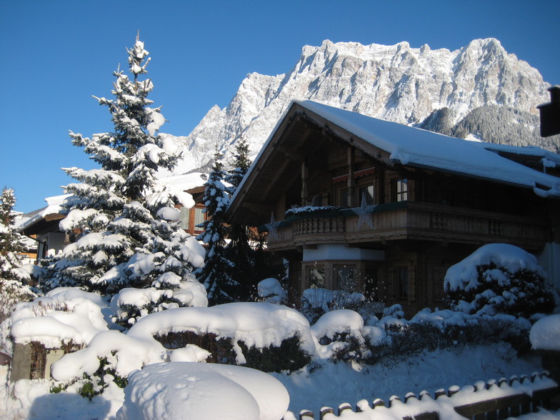
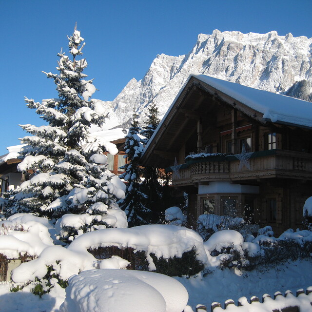
Latest snow reports near Ehrwald:
| Top snow depth: | — |
|---|---|
| Bottom snow depth: | — |
| Fresh snowfall depth: | 21 cm |
| Last snowfall: | 15 May 2026 |
| Snow Alerts | Create Alert |
0.2 | Bluebird Powder days Fresh snow, mostly sunny, light wind. |
|---|---|
0.8 | Powder days Fresh snow, limited sun, any wind. |
0.1 | Bluebird days Average snow, mostly sunny, light wind. |


The above table gives the weather forecast for Ehrwald at the specific elevation of 1982 m. Our sophisticated weather models allow us to provide snow forecasts for the top, middle and bottom ski stations of Ehrwald. To access the weather forecasts for the other elevations, use the tab navigation above the table. For a wider view of the weather, check out the Weather Map of Austria.
Click here to read further information on freezing levels and how we forecast our temperatures.
Overall 3.6 Based on 11 votes and 4 reviews
Just returned from a week in the Zugspitze Arena of which Ehrwald is part. Only a small area but had great snow and the lack of traffic meant that the piste remained in great condition. Access to the glacier is far easier than long queues at Eibsee on the German side and Lermoos offers reasonable vertical across the valley. Garmisch-Partenkirchen is only 20 minutes away and is on the same lift pass and offers the Kandahar WC Downhill to blast down. Good alternative week away all in all.
millsy from United Kingdom writes:
Just returned from a week in the Zugspitze Arena of which Ehrwald is part. Only a small area but had great snow and the lack of traffic meant that the piste remained in great condition. Access to the glacier is far easier than long queues at Eibsee on the German side and Lermoos offers reasonable vertical across the valley. Garmisch-Partenkirchen is only 20 minutes away and is on the same lift pass and offers the Kandahar WC Downhill to blast down. Good alternative week away all in all.


 Nearest