WORLD SNOW ROUNDUP #274
Issued: 11th January 2023
By Patrick “Snowhunter” Thorne
World Overview
It has been the most active week for snow-bearing weather systems since before Christmas across the Northern Hemisphere.
In North America yet another major storm system has impacted the continent, again hitting the Pacific coast first and taking the world’s deepest snowpack close to the 5 metre/2 feet mark. In fact, by the time measurements are in, a little after this week’s report is completed, it’s likely it’ll be past that by now.
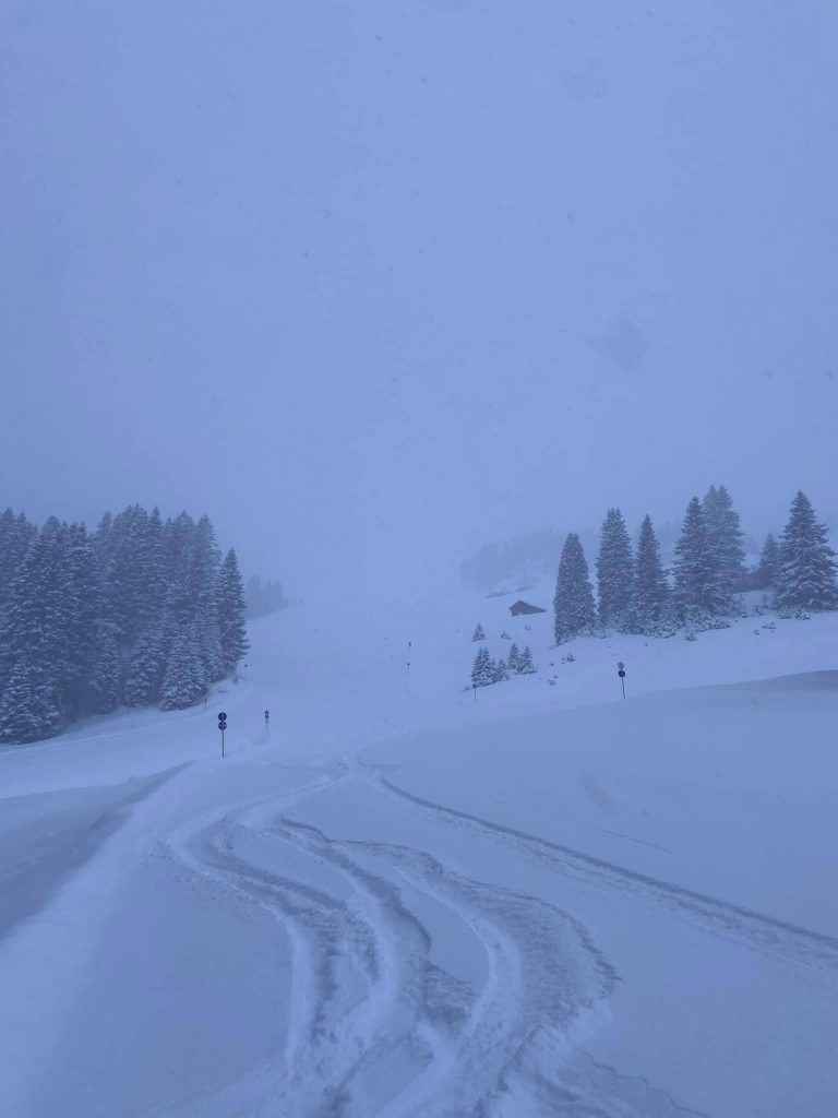
But in most of Europe too, where things have been fairly warm and fairly still for weeks, the weather has finally started to change with colder temperatures and significant snow arriving at last. So far it has been heaviest as you’d expect, on higher slopes, with half a metre reported by some in the first 24 hours of the storm on Sunday/Monday. But again we’re likely to see the first metre accumulations published around the time this report is complete, or soon after. But all eyes are on lower-lying centres, which have been forced to all but close by the warm spell, to see how much snow they get and whether its enough to re-open.
Elsewhere, things are improving in the Pyrenees a little and it is cold and snowy in the largely snowless, so far this season, Balkans. Scandinavia continues to have some of the best conditions in the world with some areas posting another half metre of snowfall.
The first resorts have opened for the season in Portugal and Iraq’s one ski area reports it has a 23cm base after snowfall there.
Europe
EUROPE INTRO
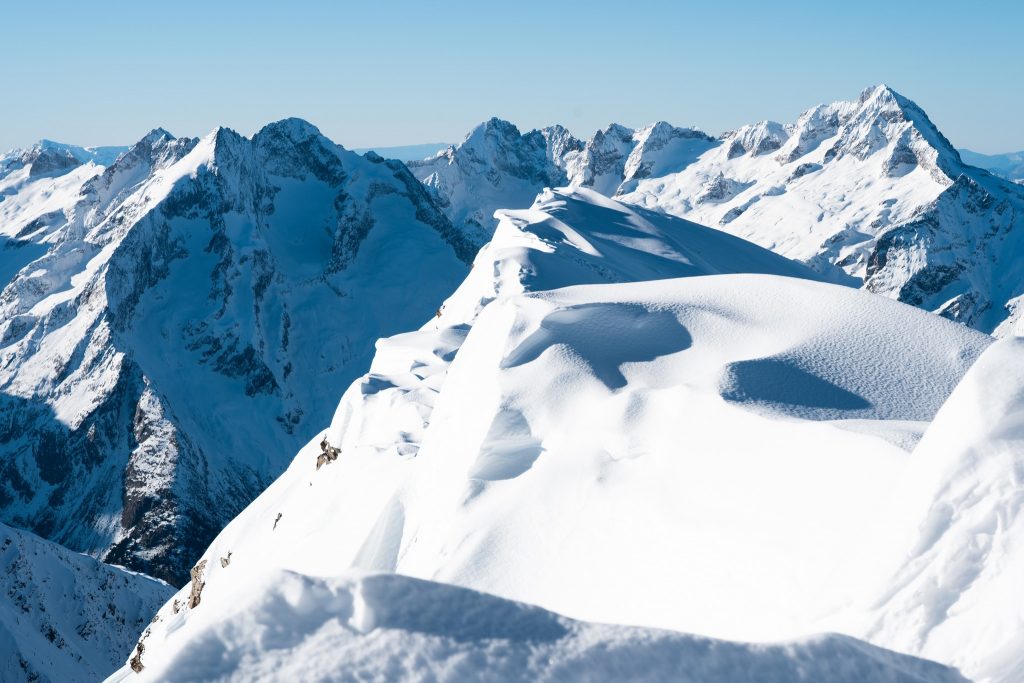
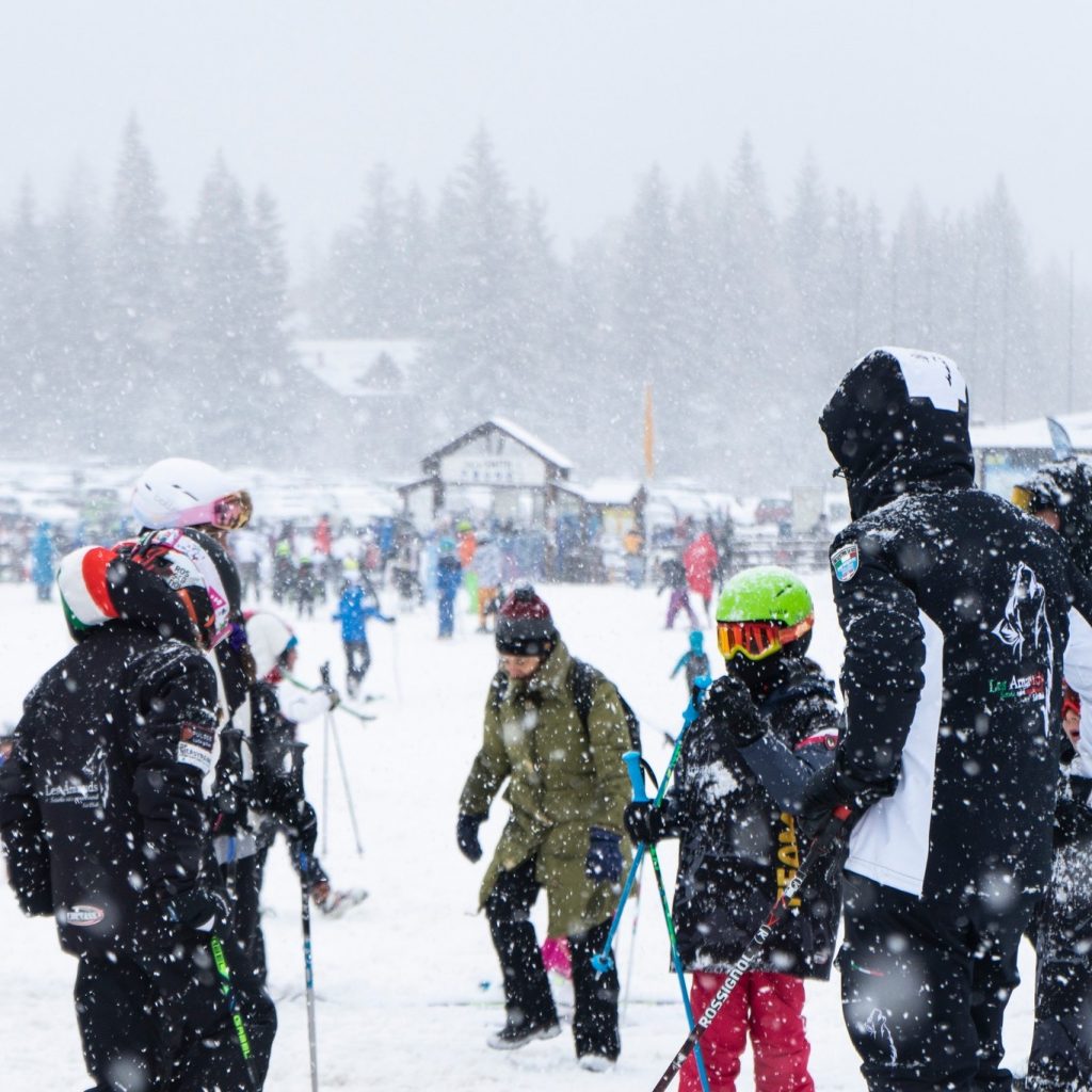
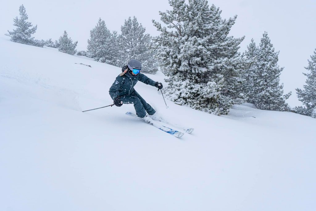
Snow has been falling all over Europe since Sunday, with what resorts are hoping is a turnaround of conditions. The cold and snowy weather should continue at least to the weekend for many and could bring a metre of snowfall to higher ground, particularly in the Western Alps, though everywhere will have some. Avalanche danger levels have been creeping up in the areas that have seen the most snowfall, reaching 3 on the scale to 5 so far in parts of the Western Alps. That’s seen as the most dangerous level as more people tend to ‘risk it’ on 3 than when the level reaches 4, unfortunately, leading to more accidents. The Pyrenees, facing similar problems, are also benefiting, to a lesser extent, and so are the Balkans, which have had almost no snowfall so far this season. The best of the snowfall in Europe continues to be up in Scandinavia though, where it has felt like winter, well, all winter so far, unlike much of the rest of the continent. It’s also an improving picture in Scotland.
AUSTRIA REPORT
Although Austrian ski areas have the lowest upper slope height of the leading alpine ski nations, most of the country’s resorts have withstood the warm weather better than many further west. About 75% of the country’s ski areas are open with only smaller resorts saying there’s too big a problem for them to be able to start their lifts turning. The 75% that are 60-80% open are able to be partly due to snowmaking prowess with the big areas like the Skiwelt, Ischgl-Samnaun (Silvretta) and Saalbach-Hinterglemm managing to keep over 200km (125 miles) of slopes open each having piled up machine-made snow on the slopes during the colder autumn weather. Thankfully, it is now snowing here across the country with initial reports of up to 30cm (a foot) of fresh cover and the sow still falling. Temperatures have also dropped enough for snowmaking systems to fire back up as needed overnight. Sölden (79/182cm / 32/73”), which has been posting the deepest snowpack in the country for months and has almost all its terrain open, added 15cm (6”) to its stats in the first 24 hours of the storm.
AUSTRIA FORECAST
Staying largely cold and cloudy for the coming week, although lower elevations will see higher single figure plus daytime temps as the freezing point rises at the end of the week, before falling away again. Not so much fresh snowfall as further west but feeling more like winter and more is expected next week.
SWITZERLAND REPORT
It has been a great start to the week in Switzerland with heavy snowfall across the country’s ski slopes. At the time of completing this report, several areas had posted 50cm (20″) of fresh up high and plenty 30cm (12″). As with the rest of the Alps though it is not yet clear how much of a change the new snow will make to lower-lying areas such as the slopes around Gstaad (13/35cm / 5/14″), which have been down to less than 20% open through the warm spell. But the Glacier 3000 area, part of its ski pass, was one of those reporting 50cm (20″) and everything open once the storm closure ended. Verbier (10/55cm / 4/22″) posted 30cm (12″) in the first 24 hours of the storm. With higher terrain, the 4 Valleys had already been 75% open, about the same as last season.
SWITZERLAND FORECAST
Staying cold with occasional snow showers through the week ahead, the snowline typically remains in the 600-1200m altitude band, so it should be a continually improving picture.
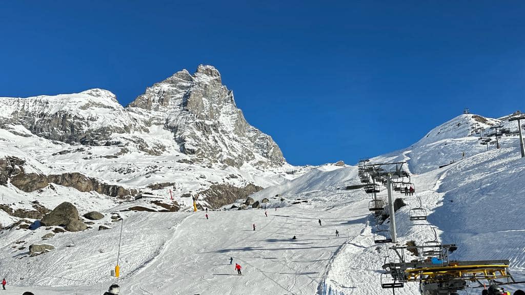
FRANCE REPORT
French ski areas had already been posting the deepest bases in Europe and although some high-profile low-lying ski areas have suffered badly and been the focus of world media attention, most regions like the 3 Valleys and Paradiski have been 60-80% open with most of their terrain above 1800m and the snow lying up to 2 metres (80″) deep up high. France also got some of the biggest accumulations from the storm that moved in on Sunday with resorts like Alpe de Huez (40/220cm / 16/88”) and Tignes (68/198cm / 31/79”) posting 50cm (20”) in the first 24 hours on higher slopes and currently heading towards 1m (40”) storm totals by midweek, potentially. But lower resorts like Les Gets (10/70cm / 4/32″), forced to close their valley runs completely, are the focus to see if there’s enough snow down low to turn things around. At the time of writing the resort posted, “The snow is back and it makes us happy but, no, the ski area will not reopen this afternoon (or tomorrow). Even if the snowfall was consistent, some preparation time is needed to get our tracks back in shape.” It did post pictures of snow falling to the valley floor though.
FRANCE FORECAST
Although the heaviest snowfall of the current storm cycle is now behind us it should keep snowing through the week in many areas, on and off, with temperatures remaining lower than they’ve been.
ITALY REPORT
Western Italy saw the best of the first wave of the snowstorm on Sunday as it moved into the southwestern Alps. Bardonecchia had 30cm (12”) of fresh by the end of the day. The snow has kept falling in the north and west of the country since and it’s a much-improved picture. There’s been less so far in the Dolomites. But then this had been the area that had stood up best to the previous warm spell in recent weeks anyway, missing the warmer, wetter weather and the damage to the snow that caused and keeping everything open.
ITALY FORECAST
Not so much snow in the forecast for the coming week in Italy except on the northern and western perimeter, which should see occasional snow showers and consistently low temperatures. Other areas may remain a little warmer than we’d like, reaching high single figures at lower elevations in the afternoons, but still getting to double digits below at night up high.
GERMANY REPORT
Germany has been the hardest hit of north-central Europe’s ski nations by the warm start to the season and 90% of its hundreds of small ski centres remain closed. It’s unclear if the current colder, snowier weather will be enough to turn things around for many of them or if they’re already writing this winter off. The country’s higher, bigger resorts are mostly partially open though. Reit im Winkl (0/30cm / 0/12”) continues to have the most terrain open – 30km (19 miles) and about 75% of its terrain despite the thin cover and challenging weather up to now.
GERMANY FORECAST
More consistently cold and frequently snowy weather in the week ahead than further south with temperatures rarely getting above +3C in the main mountain areas.
SCANDINAVIA REPORT
Although the Alps are now starting to catch up, Scandinavia has continued in the full winter mode it has been enjoying so far. Hemsedal (80/150cm / 32/60”) posted 40cm (16”) of new snowfall in 48 hours at the weekend and reported snow depths had hit the metre mark up at the treeline and it has kept snowing since so the resort is currently posting the deepest base in the region. It’s been a similar picture across Norway with more cold weather (as low as -20C) reported in Sweden and Finland too.
SCANDINAVIA FORECAST
More cold and snowy weather is forecast across Scandinavia for the coming week with temperatures rarely getting above freezing and mostly staying well below.
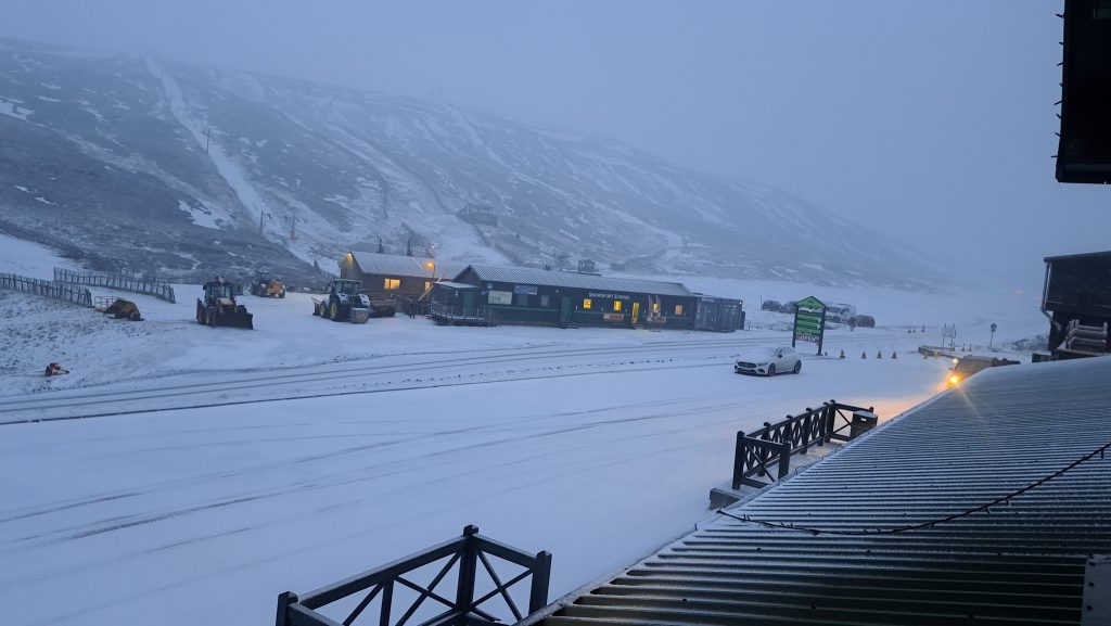
SCOTLAND REPORT
Scottish ski areas continue to battle marginal snow conditions. But on the upside, there have not been the mild spells to which the country is prone. So bases are slowly building from occasional snow showers and snowmaking, particularly all-weather machines, where possible and centres continue to have largely limited terrain open. Glencoe (20/50 / 8/20”) is posting the most, particularly on its upper mountain. For the other areas it’s more the snowmaking-made runs near their bases so far.
SCOTLAND FORECAST
Staying cold with frequent snow showers across Highland slopes. Hopefully, things will be better still with more terrain open this time next week.
SPAIN / ANDORRA REPORT
The Pyrenees have been facing similar issues to the Alps over the last month. Having started the season well with cold weather and fairly good snow cover six weeks ago, things have warmed up and what could be open reduced. The two biggest areas, Spain’s Baqueira Beret and Andorra’s Grandvalira have cut from highs of around 180km (112 miles) of slopes open pre-Christmas to around half that now and less than 50% of their potential terrain. But, although not yet a massive improvement, there has been some snowfall – if only 5-15cm (2-6”) around the weekend and temperatures have dipped a little.
SPAIN / ANDORRA FORECAST
We’re back to mostly sunny weather through the rest of this week and into the weekend, but it should stay cold in the mountains. Unfortunately, valley highs will be 7-9 degrees later in the week in the afternoons. Colder and potentially snowy weather is in the long-term forecast next week.
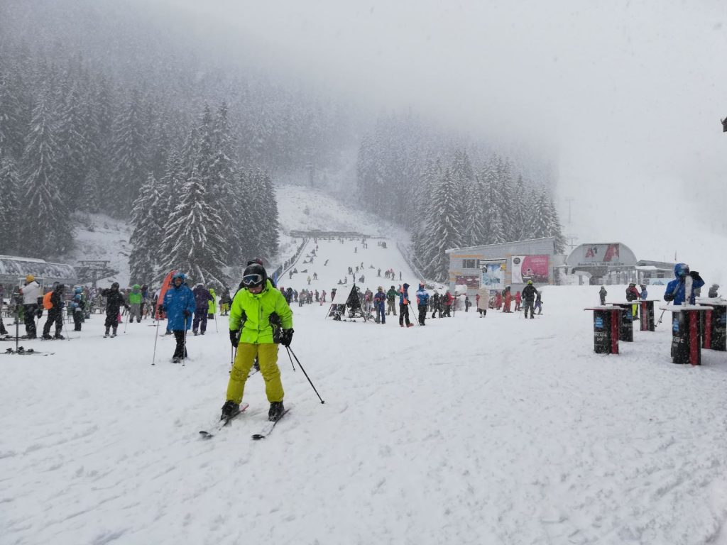
BULGARIA / ROMANIA REPORT
The colder and snowier weather ski areas have been desperately waiting for in the Balkans is finally here and resorts are racing to make snow and open terrain from the very limited areas they’ve been able to manage with snow-making to date this season. Pamporovo (20/35cm / 8/14″) has managed to open the most in Bulgaria so far with 9km (6 miles) of runs open compared to just a kilometre or two at the other centres. But, hopefully, all should have added a good bit more by later this week.
BULGARIA / ROMANIA FORECAST
The cold and snowy weather should continue for the next few days, then the sun will return to end the week. But temperatures, although climbing, should continue colder than before and cold enough overnight for more snow-making in many areas.
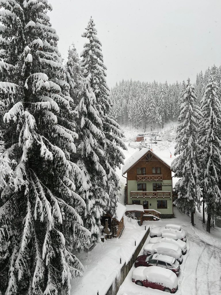
CZECH REPUBLIC / SLOVAKIA REPORT
There’s a good deal of excitement in the Czech and Slovak Republics with colder weather and snowfall at last, allowing resorts to reopen terrain closed during the warmer weather and for some centres to open for the first time this winter. The region’s largest area, Jasna (30/70cm / 12/28″), reported blizzard conditions on Tuesday. It has about 80% of its terrain open now and about 60% of all Czech and Slovak areas are open now. Only small, lower resorts have not been able to open yet.
CZECH REPUBLIC / SLOVAKIA FORECAST
The change in conditions seems to be fairly set in with mostly sub-zero temperatures for the coming week, highs of 2-4 degrees in valleys in afternoons. Drier the rest of this week but with more snow forecast for the start of next.
NORTH AMERICA INTRO
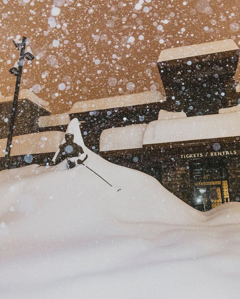
North America’s east / west divide continues with still more huge storms hitting the Pacific coast and depositing massive amounts more snowfall, while in the east, centres have had a little fresh snowfall but many are still struggling to open all their terrain. There’s a bit of a north/south divide too, most marked on the east coast, with ski centres in the far north east posting the most terrain open (in some cases, more than bigger areas to the south have been able to open)and ski areas in more snow-marginal south easterly US states unable to open at all. A very different picture on the west coast and in the Rockies though where some resorts have been posting their fastest snow accumulations in an hour, ever recorded. Others are passing the 300″ (750cm) season to date snowfall totals and still others report that they’ve already had more snowfall than their totals for all of last season.
ROCKIES REPORT
Great conditions in the Rockies where America’s largest ski area, Park City (70/81” / 177/203cm) reports all of its terrain open. Another big storm system moved through the mountains at the weekend when another Utah resort, Snowbird (60/104” / 150/260cm), reported record-breaking rates of snowfall and that it had had more than 300” (7.5 metres) of snowfall already. It’s turned drier and sunnier over the past few days but staying cold.
ROCKIES FORECAST
There’s the chance of light midweek snowfall in the Rockies bringing a few inches of fresh before the sunshine returns for the rest of this week. Temperatures are down to single figures in the mountains but could reach double digits in resort towns in the afternoons later this week before the next front moves in around Sunday/Monday.
USA WEST REPORT
The West Coast has seen more incredible snowfalls and Mammoth Mountain (140/198″ / 350/495cm) continues to post the world’s deepest snowpack and it is up by about another five feet (a metre and a half) on a week ago. The snowfall has once again been exceptional and driven in on strong winds at times with resorts warning of very difficult driving conditions to get to them and then very high avalanche danger on the slopes requiring lots of mitigation work. All the snow is causing lots of closures and most resorts are probably ready for a respite.
USA WEST FORECAST
Not a lot of respite from the constant flow of snow storms coming in on the west coast. They’ll bring still more heavy snowfall almost daily to California, with temperatures hovering around freezing. More sporadic and some sunny spells further north.
MIDWEST REPORT
Ski areas in the Midwest fared better with more fresh snowfall in the last week than expected as storm fronts moving across the US from the west went further and then dumped more snow than expected. Michigan resorts Ski Brule (48/48”/ 120/120cm), Crystal Mountain (48/48”/ 120/120cm) and Wisconsin’s Cascade Mountain (48/48”/ 120/120cm) are equally posting the deepest snow in the region. Most resorts are now fully open, or nearly so.
MIDWEST FORECAST
Temperatures remain in the high teens to low 40s Fahrenheit, so mostly well below freezing, skies are overcast mostly but with no snow forecast.
USA EAST REPORT
After another warm spell it has been cold and clear on the east coast over the past few days. That’s enabled more snow-making as resorts continue to play catch up on the season. Sunday River (24/24″ / 60/60cm), up in Maine, continues to claim it has the most terrain open in the region, ahead of slightly larger Killington (16/20″ / 40/50cm), in Vermont.
USA EAST FORECAST
Unfortunately, another warm front is due to move through at the end of the week, which could see temperatures briefly in the high 40s. But most should get through it without precipitation and it will be colder again at the weekend. Some may also see snow before the temperature peak.
CANADA WEST REPORT
It’s been cold but fairly dry across much of western Canada in recent days, so fairly stable conditions. Whistler Blackcomb (0/198cm / 0/79”), North America’s largest ski area, has the majority of its slopes open. Fully open Kimberley (88/218cm / 35/87”) over on the eastern side of BC is posting Canada’s deepest snow though.
CANADA WEST FORECAST
It looks set to continue cloudy but fairly dry over the next week, with temperatures in the freezing to minus 10 range much of the time. On the western side of the region, more sunny spells are possible as well as light snow showers from time to time.
CANADA EAST REPORT
After another worrying warm front threatened rain on the slopes of Quebec again earlier this month, things have stayed cold and many of the provinces’ areas have had fresh snowfall. Although there’s still some catching up to be done after the warm start to winter. Tremblant (40/130cm / 16/52”) now has about two-thirds of its terrain open.
CANADA EAST FORECAST
The weather will be dry until Thursday/Friday when a front is expected to bring some good snowfall before sunshine returns at the weekend. Temperatures stay well below freezing, getting as low as -20C.
Asia
JAPAN REPORT
It has been the snowiest week of the season so far for many areas in Japan with a good number reporting over a metre of snowfall. Indeed, Myoko (65/235cm / 26/94”) reported 40cm (16″) on Tuesday alone and most of the 3 metres (10 feet) plus season snowfall to date there has arrived in the last ten days. Meanwhile, further north of Hokkaido, it’s full winter mode too with sub-zero temperatures and regular snowfalls. Niseko (285/300cm / 114/120″) is one of the few resorts away from the US West Coast to be in the world’s top 10 major resorts for snow depth at present.
JAPAN FORECAST
A mixed forecast with clearer, cold weather expected for the next few days. But, unfortunately, a warm temperature spell to end the week is forecast, before it cools again into the weekend.
You might also like...

A Guide to the Perfect Skiing Stance in All Conditions with Maison Sport

Huge Snowstorm Hitting Western North America

World Snow Roundup #231
