Southern Hemisphere Weekly Snow Roundup #332
Weekly Snow News for Southern Hemisphere, updated 17 September 2026: Chile’s Corralco posting world's deepest snow. New Zealand reports more fresh snowfall and last Australian resort still open will close on 25th.
- Last area open in Australia says it plans to end it season next Friday 25th.
- Fresh snowfall in New Zealand has resorts claiming today one of season’s best.
- Ski areas in Chile still posting most open terrain deepest snow in the world right now.
Southern Hemisphere Introduction
Southern Hemisphere ski conditions continue to vary widely as the season moves toward its final stretch. In Australia, operations have contracted once again after an exceptionally difficult winter, with only one area still running and maintaining what cover is left depending heavily on overnight snowmaking.
New Zealand continues to offer the strongest late‑season conditions, with cool temperatures, regular snowfalls and healthy snow depths keeping most South Island terrain fully open. Overnight lows still getting down to –10°C and daytime highs around freezing have preserved coverage well.
Across in South America, Argentina has shifted into spring, bringing sunnier skies and warmer afternoons, but deep bases built up through July and August mean most centres still report 70–90% of terrain available. Chile has also enjoyed a mainly sunny week, with occasional snowfall in the south and generally cool nights. Snowpacks remain substantial, and most areas are fully open or close to it, supported by some of the deepest snow in the world.
Australia Report
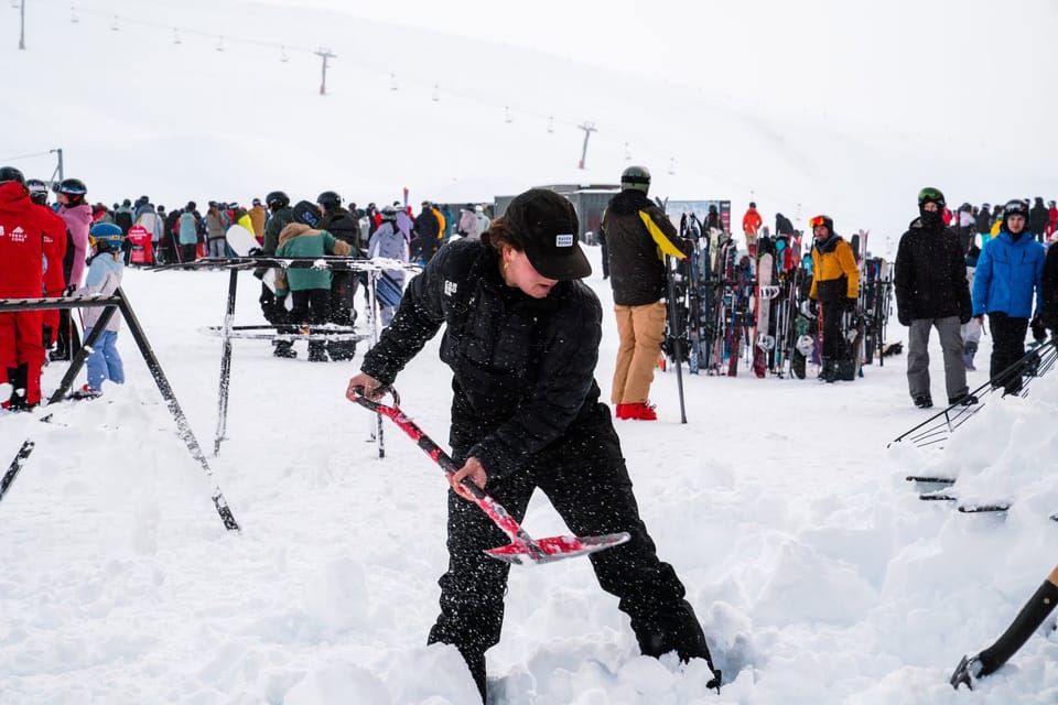
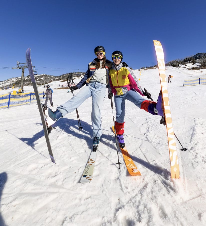
Thredbo closed at the weekend leaving Perisher the last resort still operating after Australia’s “very challenging” (some are saying “worst ever”) season. Perisher (10/15cm / 4/6”) has been pushing positivity over the past week though, posting plenty of pictures and video on its socials of snowmaking underway overnight, pristine white freshly groomed slopes and happy smiling people. So what you make of what’s left is very much dependent on whether you a glass half full or half empty kind of person. The past week has been largely sunny but there have been some low overnight temperatures and daytime highs not as warm as they had been, all favouring Perisher’s continued operations. They have now announced that the coming week will be their last of the 2026 season,
“The 2026 season is coming to an end. We plan to keep lifts spinning until Friday 25 September, just 10 days ahead of our planned closure date. Not the winter we hoped for, but one we’re proud of all the same. Mother Nature might not have come to the party, but we certainly did. And while we wish we had more snow to give you, from snowmaking at every possible moment, to trucking snow, our team has thrown everything at keeping the mountain open as long as possible. This weekend is our last, and we’re going out with a bang. Thank you to every guest who shared this season with us, and to the incredible team who made it happen.”
Australia Forecast
Perisher is forecast to have a quieter late‑season stretch with mostly settled weather dominating the coming days. Clear skies, strong overnight freezes and mild afternoons are expected, with upper‑mountain temperatures swinging from around −4 °C at dawn to +4–6 °C later in the day. A brief weak front this weekend may deliver a light dusting at the highest elevations, but accumulations look minimal and short‑lived. Sunshine quickly re‑establishes itself afterward, supporting firm morning corduroy and softer cover by midday.
New Zealand Report
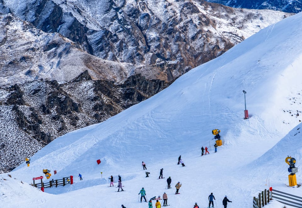
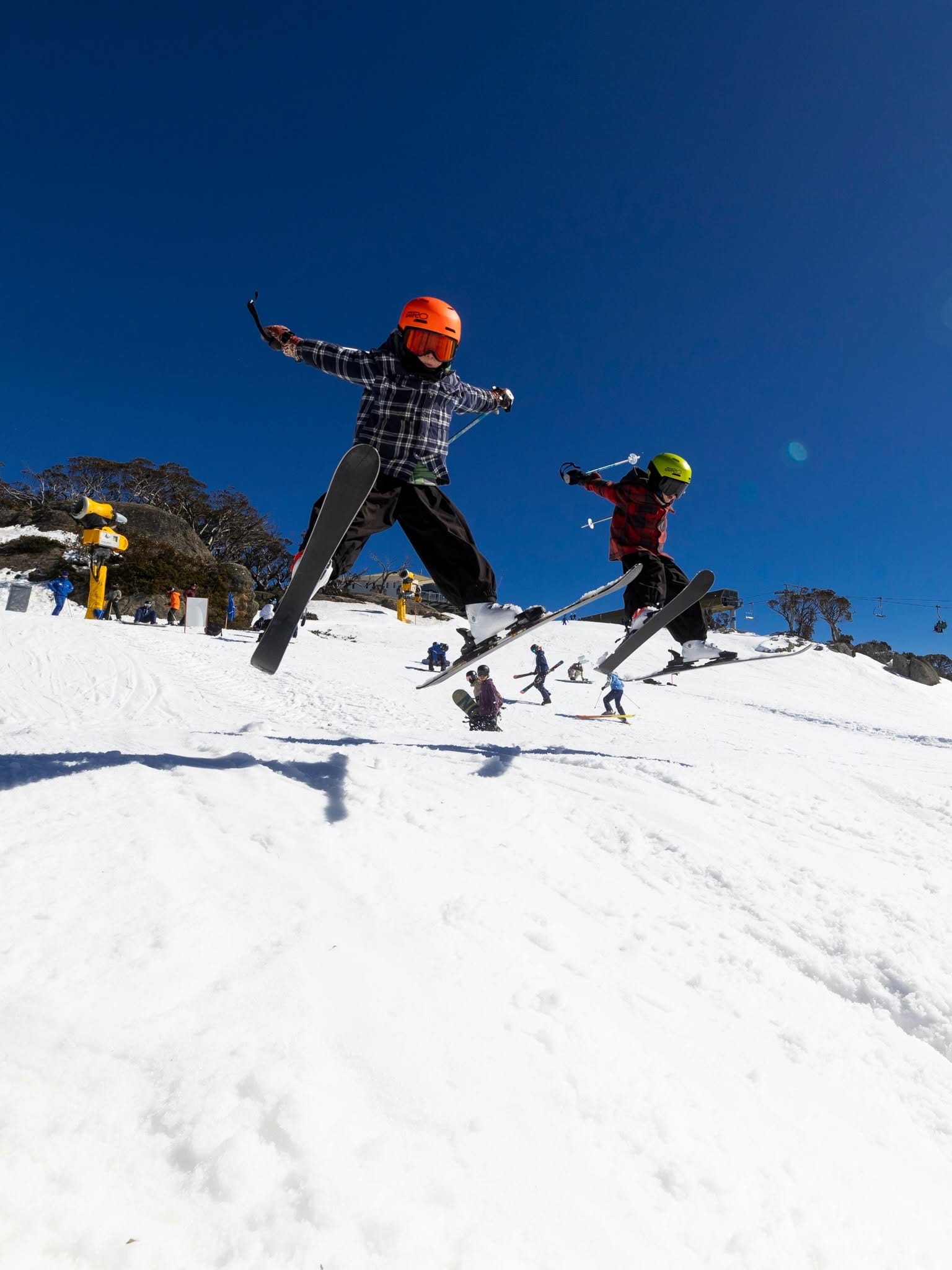
It’s been the usual mix of conditions over the past week on Kiwi slopes, with perhaps more dry weather than we’ve seen, although with some light snow showers reported at times. It has though remained pretty cool compared to most other southern hemisphere ski regions, with overnight lows getting down towards -10C on higher terrain and daytime highs not getting much above freezing most days. As a result, most South Island commercial ski field remain 100% open and with healthy snow depths reported in most cases. Mt Hutt (130/190cm / 52/76”) continues to post the deepest snow from top to bottom whilst fully open Cardrona (80/115cm / 28/46”) has the most terrain open in the country, with around 45km (28 miles) of slopes skiable. However, its more of a mixed picture for smaller centres and club fields, some of the latter reporting they no longer have enough snow to continue operating, others appearing to have snow but winding up their 2026 seasons anyway. Mt Lyford (25/70cm, / 10/28”) was one of those announcing its final day last Sunday. Kiwi ski areas were announcing 15-30cm (6-12”) more fresh snowfall as we go to press with this week’s report, saying today was one of the best of the season.
New Zealand Forecast
A mostly settled pattern dominates New Zealand’s ski regions through the next few days, with long sunny spells and freezing levels generally high, often above 2,000–2,400 m. Upper‑mountain temperatures fluctuate around −4 °C to +2 °C, supporting firm overnight surfaces but softening quickly each afternoon. A brief unsettled pulse arrives late weekend, delivering light to moderate snowfall to higher terrain, especially in the South Island where colder air dips snow lines toward 1,600–1,900 m. Early next week, northern fields return to brighter, more stable weather, while southern areas retain a better chance of additional high‑alpine snow under lingering trough influence.
Argentina Report
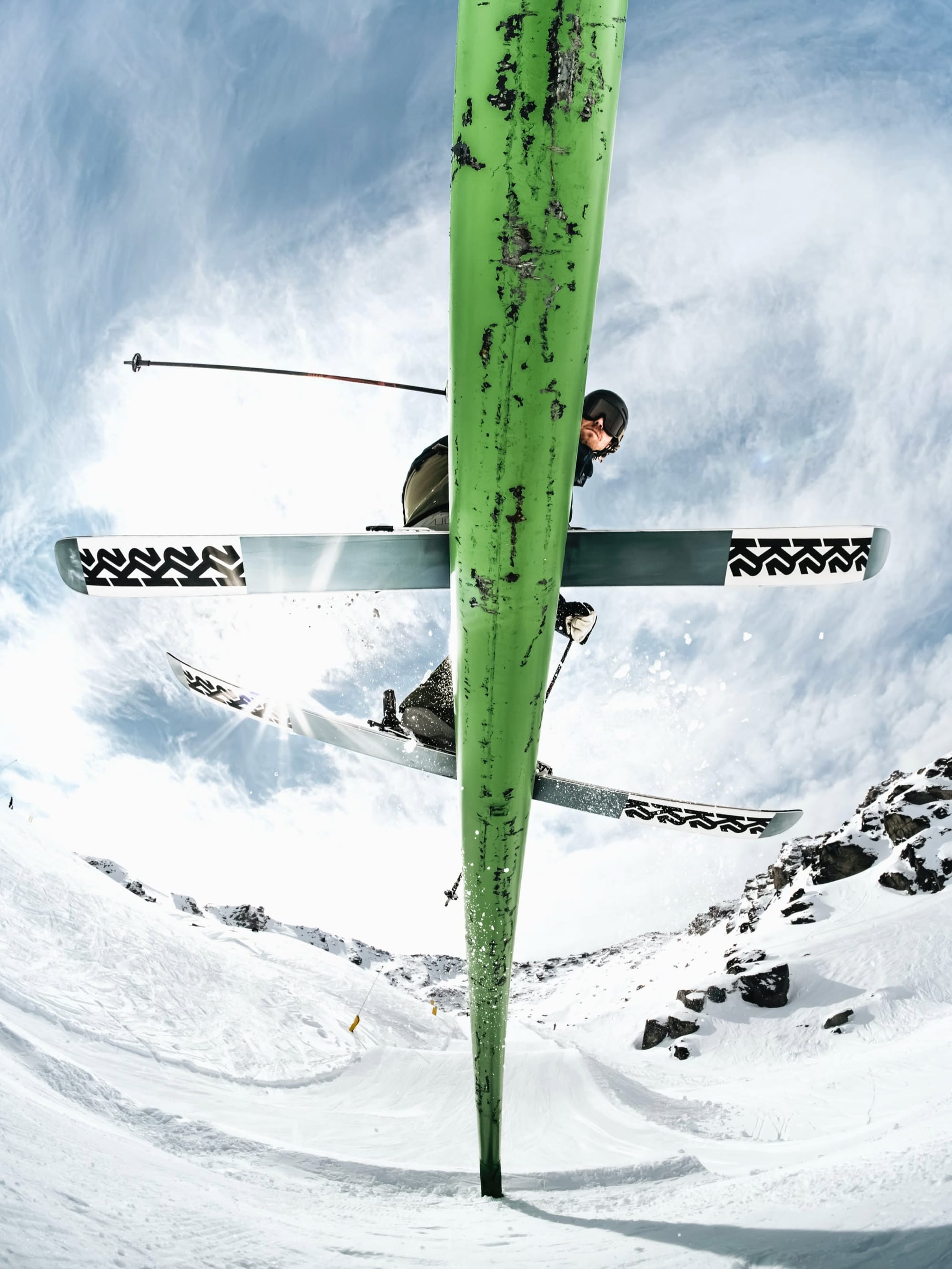
Springtime is continuing to take hold in Argentina, with a week of mostly sunny weather across the country and afternoon high getting into double figures above freezing Celsius at base areas, overnight lows only scraping freezing point. Thankfully though the big snowfalls of July and august mean most of the country’s ski areas are still sitting on very healthy bases and the majority report 70-90% of their slopes skiable. Largest area Catedral (80/90cm / 32/36”) near Bariloche is still posting the most open terrain, with more than 40km (25 miles) of lift-served groomed slopes available. Las Leñas (130/330cm / 52/132”) is posting the deepest snow cover in the country and is one of just three areas worldwide currently posting a 3m (10’) plus base. It has extended its season by a week to the 28th.
Argentina Forecast
A generally unsettled pattern persists across Argentina’s ski regions over the next few days, with repeated snowfalls affecting much of the central and southern Andes. Light to moderate pulses move through mid‑week, with freezing levels shifting between roughly 2,300 m and 3,000 m, allowing upper terrain to accumulate steady new snow. The weekend brings another round of snowfall, locally heavier where moisture is deepest. Early next week, colder air supports continued high‑alpine snow in the south, while central areas trend toward brighter breaks between passing systems.
Chile Report
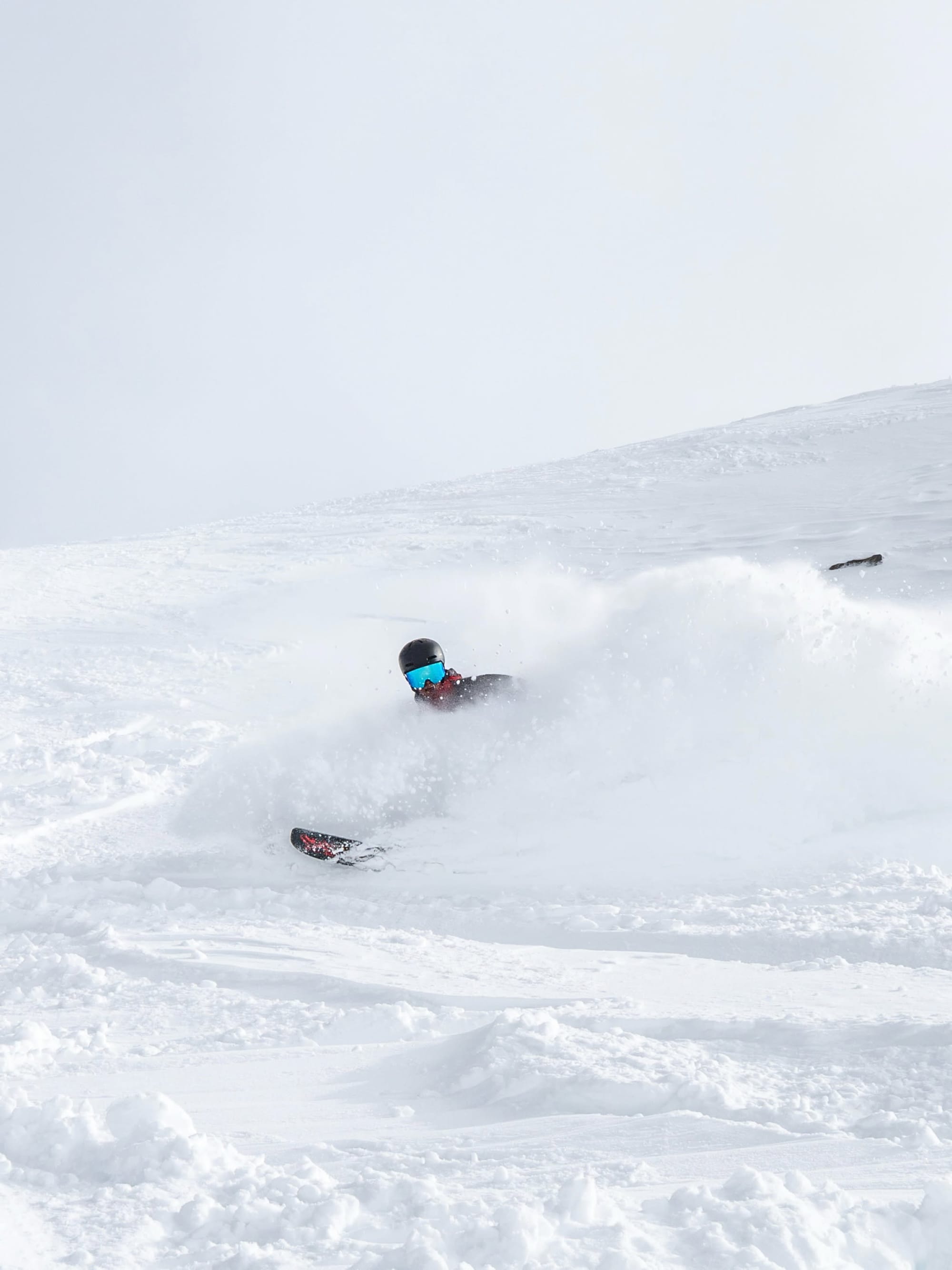
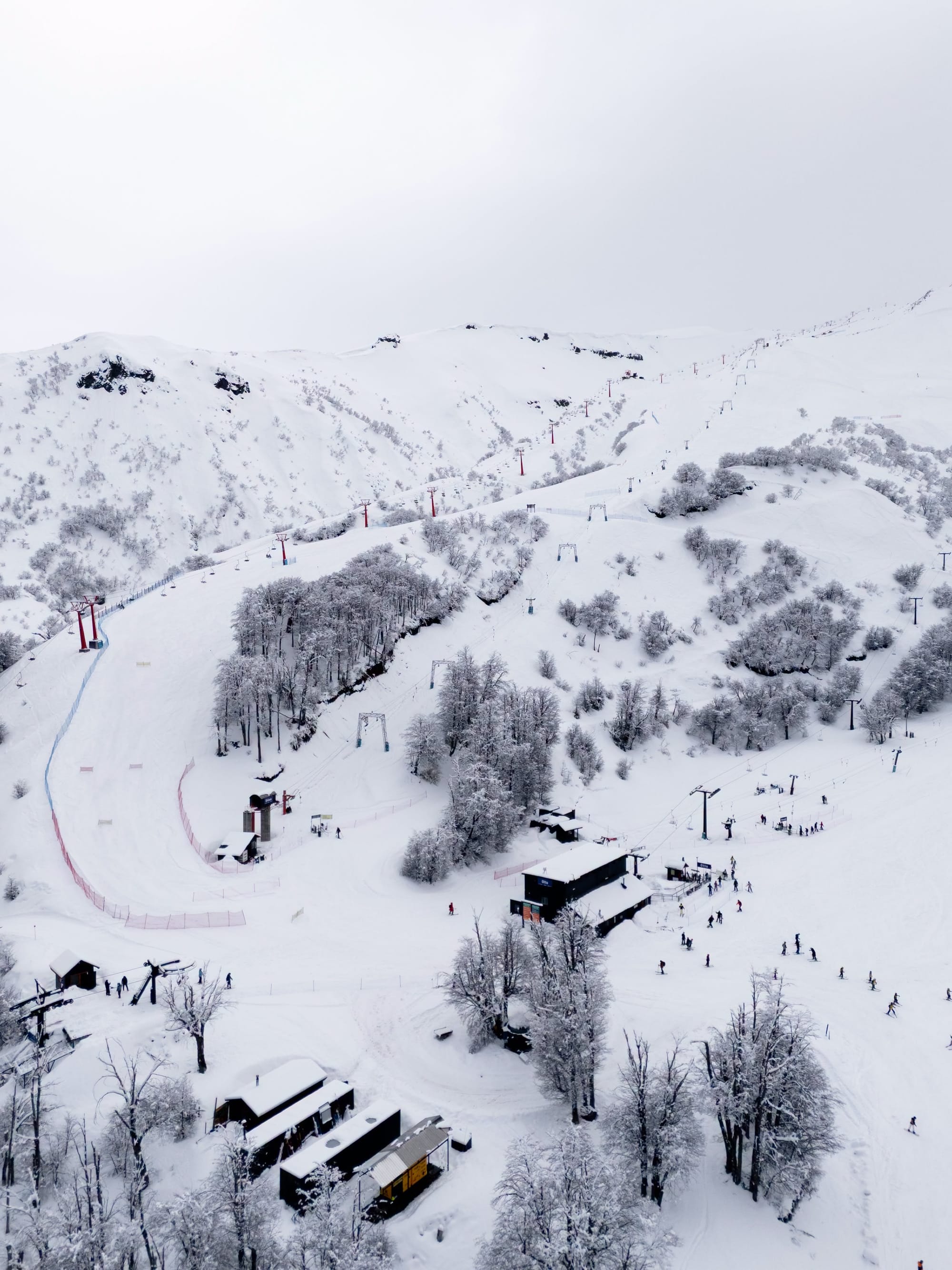
Chile has also enjoyed a largely sunny week although there was some snowfall reported at more southerly ski areas like Nevados de Chillan (60/125cm / 24/50”) going into last weekend. Otherwise, plenty of sunshine, overnight lows on high terrain dipping down to -5C, afternoon highs at base area climbing up a far as +11C. Most Chilean ski areas continue to post their slopes 100% open, or nearly so. The country also has the current world’s deepest reported snowpack, nearing 5m (17 feet) on higher terrain at Corralco (140/475cm / 56/190”), whilst the ‘3 Valleys of The Andes’ linking Valle Nevado (90/180cm / 36/72”), El Colorado (50/140cm / 20/56”) and La Parva (40/95cm / 16/38”) has by far the most terrain available anywhere right now as most centres are fully open or nearly so. Together they offer over 120km (75 miles) of lift-served slopes.
Chile Forecast
A mostly sunny spell holds across Chile’s ski regions through mid‑week, with freezing levels generally high and only patchy cloud at altitude. Light weekend snow is expected, especially around central‑Andes resorts, where upper‑mountain levels (3,000–3,600 m) may collect 1–3 cm as snow lines briefly dip toward resort elevation. Northern areas return quickly to sunshine after the weekend pulse, while southern resorts show a stronger chance of additional early‑next‑week snowfall, with mid‑mountain projections indicating up to 16 cm on 20 September.