Southern Hemisphere Weekly Snow Roundup #324
Weekly Snow News for Southern Hemisphere, updated 23 July 2026: Andes resorts receive over 3m (10ft) of snowfall, transforming South American conditions, while New Zealand thrives and Australia steadily expands terrain through snowmaking.
- South America: Huge snowfall (up to 4m) has transformed conditions across Chile and Argentina.
- Australia: Dry weather continues, with snowmaking helping gradually expand terrain.
- New Zealand: Most resorts are now 60–100% open, with more snow forecast.
- Southern Africa: Afriski remains open using machine-made snow despite dry conditions.
SOUTHERN HEMISPHERE INTRODUCTION
The major story this week is the exceptional snowfall across the Andes and wider South American ski region, with some resorts receiving more than 3m (10 feet) between Thursday and Sunday, followed by further falls. Elsewhere, conditions have improved but remain mixed. Australia continues with mostly dry, sunny weather and mild days, though cold nights are allowing snowmaking and gradual terrain expansion after a slow start. Leading resorts now have around a third of their terrain open, while most remain at 5–25%. New Zealand is now much closer to normal mid-season conditions, with earlier snowfalls pushing most areas to majority-open status and temperatures preserving coverage. Heavy Andes snowfall has rapidly strengthened bases and improved operations, while Southern Africa continues relying entirely on artificial snow, with Lesotho remaining open thanks to overnight freezes.
AUSTRALIA REPORT
Dry, sunny weather has continued across Australian ski areas, with daytime highs around +10°C. Cold nights have supported snowmaking, helping resorts reach their best terrain figures of the season so far. Thredbo (25/45cm / 10/18”) leads with 15km (9 miles) open and around 30% of terrain available, a major improvement from the less than 5% seen earlier in the season. Falls Creek (28/38cm / 11/15”) has around 20% open, while it and Perisher (30/50cm / 12/20”) each report about 10km (6 miles) of skiable terrain.
AUSTRALIA FORECAST
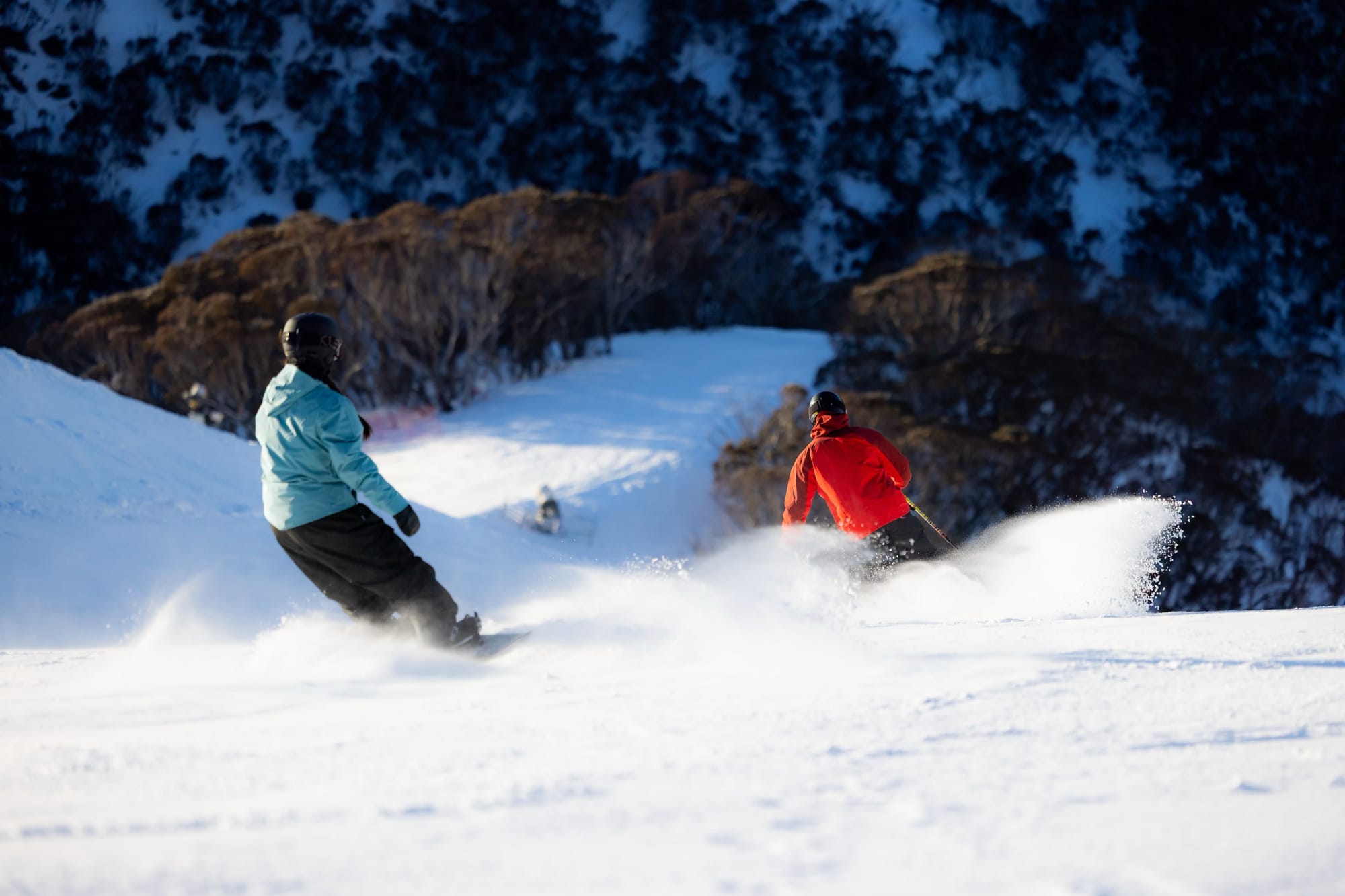
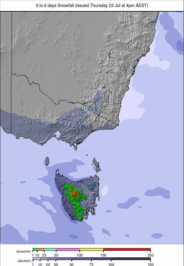
High pressure keeps Australia dry and sunny, with cold nights supporting snowmaking. Summit temperatures remain around –6°C to –3°C, with bases ranging from –3°C overnight to +12–14°C during the day. No natural snowfall is expected at Thredbo, Perisher, Hotham, Falls Creek or Buller. Mornings will remain firm before afternoon softening.
NEW ZEALAND REPORT
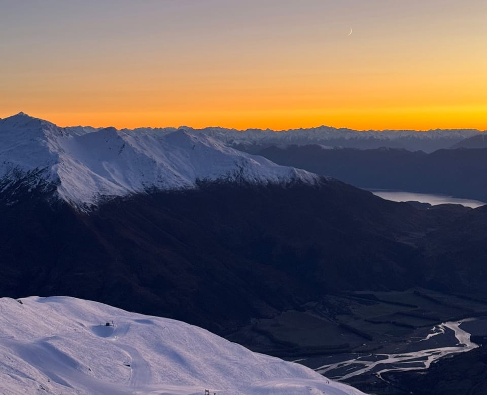
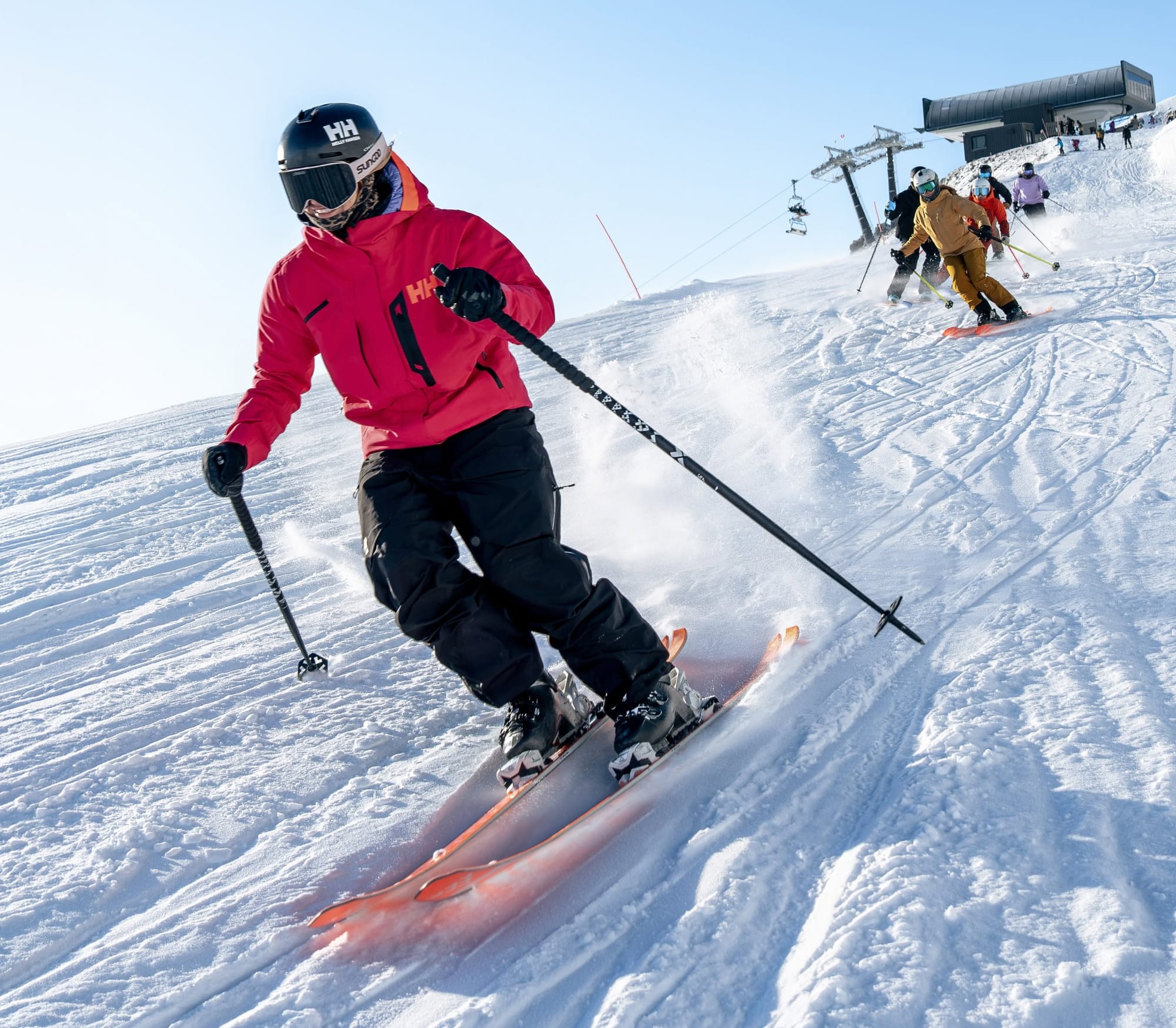
New Zealand is now experiencing much more typical mid-season conditions after earlier snowfall. Most ski areas have moved from limited operations to 60–100% terrain open. The past week has been quieter, with light snow showers and sunny periods, while temperatures around –5°C to +5°C allow overnight snowmaking and limit daytime thaw. Mt Hutt (78/133cm / 31/53") retains New Zealand’s deepest snowpack and most terrain open. Coronet Peak (30/40cm / 12/16") has a thinner base but around 30km (19 miles) open.
NEW ZEALAND FORECAST
A more active weather pattern arrives Thursday, with a storm cycle potentially lasting into early August. A front may bring rain at lower elevations before colder air arrives, followed by a sharper Friday system expected to deliver 5–20+cm (2–8") of snow.
ARGENTINA REPORT
Argentine resorts remained cold this week with regular light to moderate snowfall, though totals were lower than across the border in Chile. Most areas received 10–20cm (4–8"), with Las Leñas (20/35cm / 8/14”) and Cerro Castor (10/35cm / 4/14”) seeing up to 60cm (24") in 48 hours. Conditions are improving, but many resorts still have less than 40% of terrain open.
ARGENTINA FORECAST
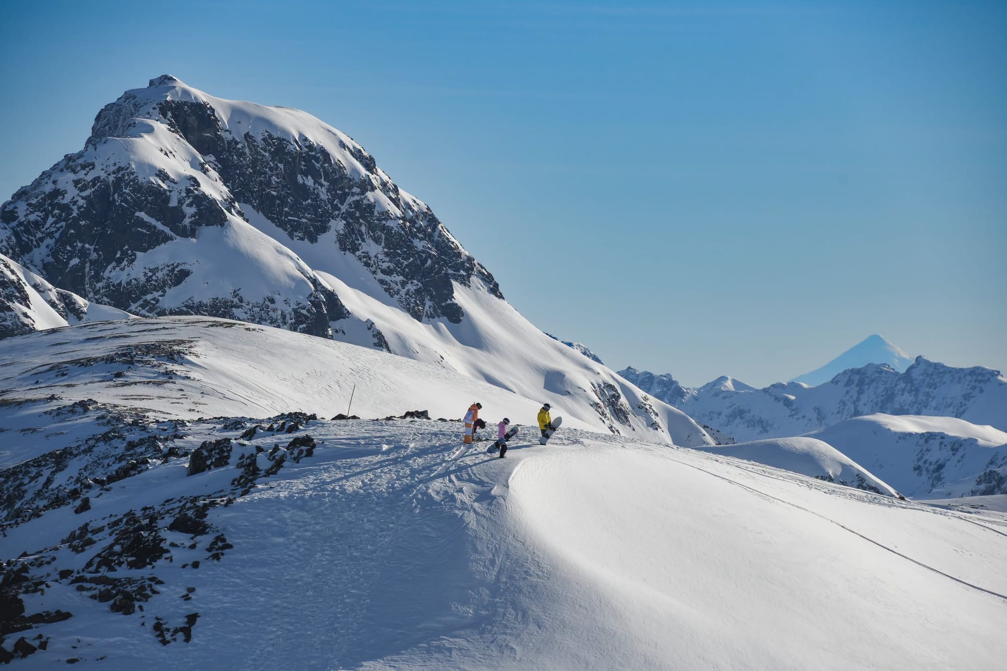
Northern Patagonia is expected to turn more wintry, with Cerro Catedral seeing frequent snow and upper slopes between –8°C and –1°C. Chapelco, Caviahue and Cerro Bayo should remain colder with occasional light snow. Las Leñas stays cold but mostly dry, while Cerro Castor remains very cold but largely dry.
CHILE REPORT
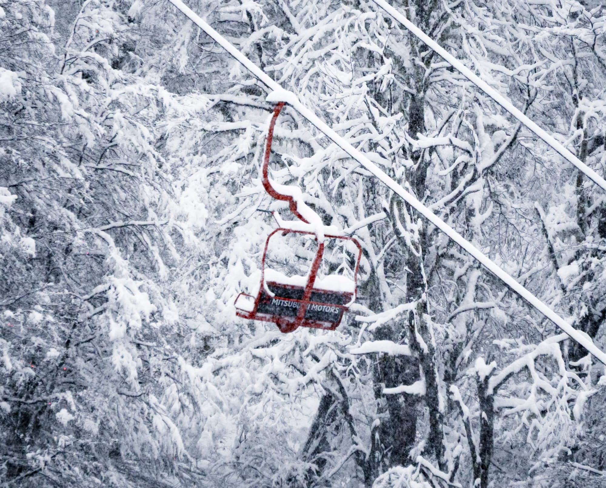
Chile has seen an exceptional snowfall week, ending the dry spell that delayed the 2026 season. Portillo received more than 3m (10 feet) in three days after only 60cm (24") during the previous two months, exceeding 4m (13.3 feet) of snowfall in five days. Twenty-four-hour totals reached 45–155cm (18" to over 5 feet). Portillo remained closed for safety work, while other resorts reopened with limited terrain and some access restrictions. Valle Nevado (90/170cm / 36/68") reported 260cm (102.4") since last Friday and around one-third of terrain open, with access limited to 4x4 vehicles with snow chains. The resort is progressively opening lifts and trails as conditions allow.
CHILE FORECAST
Cold, unsettled weather continues across Chile’s central Andes, with further snow expected at elevation. Valle Nevado, La Parva, El Colorado and Portillo should see additional light to moderate snowfall, with colder temperatures into Friday. Upper slopes remain around –6°C to –3°C, with bases between –2°C and +2°C. Southern areas may see mixed rain and snow, with higher terrain adding fresh snow.
SOUTHERN AFRICA REPORT
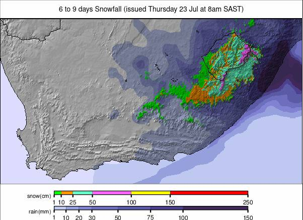
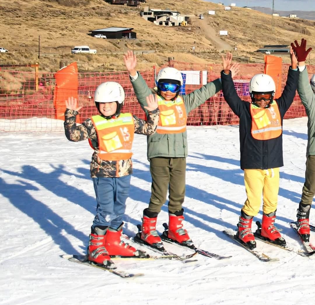
Lesotho’s Afriski (10/15cm / 4/6") remains near fully operational using entirely artificial snow. The main slope and all lifts are open, with snow firming after –6°C nights before softening under +4°C daytime temperatures. Dry weather continues, with daytime highs reaching +11°C but overnight lows supporting further snowmaking.
SOUTHERN AFRICA FORECAST
Afriski remains under clear, dry conditions, with cold nights and warm afternoons. Upper mountain lows should reach around –2°C, while base temperatures rise to +10 to +12°C. No precipitation is expected, with firm mornings and rapid afternoon softening under continued high pressure.