Northern Hemisphere Weekly Snow Roundup #334
Weekly Snow News for Northern Hemisphere, updated 21 October 2026: Austria's 26-27 underway at Pitztal, more opening this weekend; snowfall as far south as Arizona in North America; Finland's 26-27 season starting Friday.
- Third Alpine Glaciers opens for 26-27 season with more set to follow this weekend.
- Season set to start at Levi and Ruka in Finland this weekend.
- September snowfall reported on mountains in northern and eastern Europe.
- More snowfall on North American mountains, this time as far south as California.
Alps Report
A third glacier, Austria’s highest with ski lifts, Pitztal (0/50cm / 0/20”), opened last weekend. It has a long-standing all-weather snowmaking system it uses to create snow for September when the natural stuff does not arrive. It joins the two already-open Italian areas, Passo Stelvio (0/40cm / 0/16”) and Val Senales (0/50cm / 0/20”). Open terrain at all three centres remains very limited so far, with thin cover and, in the case of the Italian centres in particular, the focus on race team training.
Up to four more glaciers are currently expected to open this coming weekend, although not all have been confirmed yet; they will still be doing so. Saas-Fee has staged plans to re-open limited terrain after nearly two months closed. Hintertux, which had originally planned to re-open in September after a 10-week closure, having ended its years of aiming to open year-round, also looks set to reopen this weekend with a major park opening festival weekend lined up. The Kaunertal glacier, which delayed its planned opening last weekend, may also open, as may Zermatt.
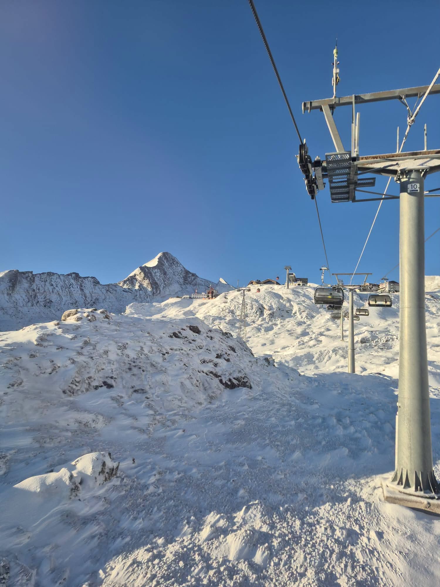
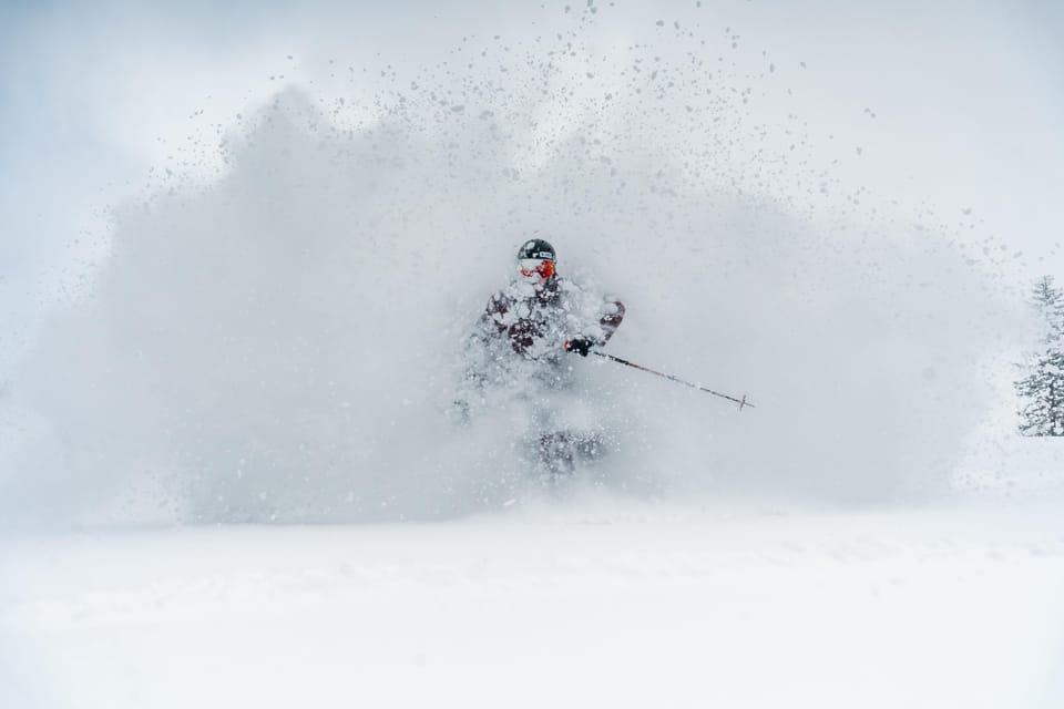
In terms of weather conditions, it has, on the whole, been another unfavourable one for glaciers, with the freezing point still hovering between 3500 and 4000m as we enter October, daytime highs on glaciers still reaching +10C, although it has been getting subzero overnight. That said, there has been some snowfall reported, with Austria’s Kitzsteinhorn glacier above Kaprun reporting fresh snowfall (above).
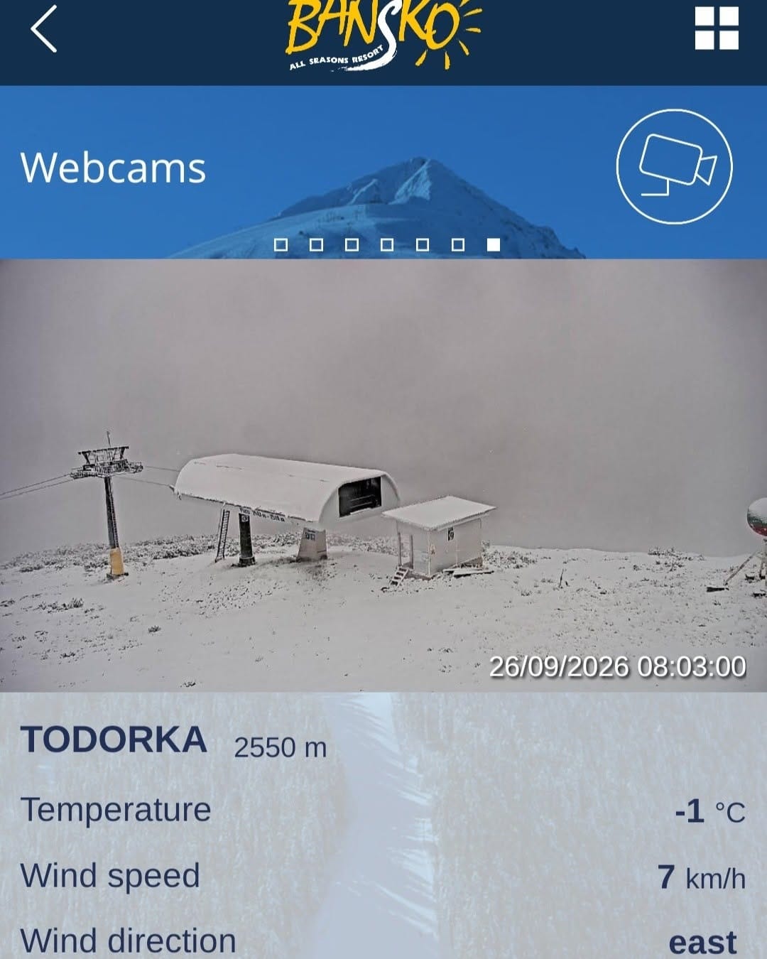
Colder weather has also made inroads further east, north and even south of the Alps, as snow has been reported as low as 2,000m in the Carpathians and neighbouring mountain ranges, with resorts in Bulgaria (below), Serbia and Slovakia also posting pictures of their peaks with a dusting of white.
Alps Forecast
Mostly sunny weather is expected to continue to dominate the high Alpine zones for the rest of this week, with clear skies and cold nights maintaining firm conditions above 2500 m. Daytime temperatures remain marginal at altitude, but the freezing level currently hovering well above 3000 m (and often still close to 4000 m) looks set to drop early next week as a cooler air mass arrives. This shift should bring sub‑zero temperatures back to upper‑glacier terrain and may allow light snow showers on the highest peaks. Until then, bright, stable weather should continue bringing crisp mornings and mild afternoons, with only isolated cloud or brief flurries on exposed summits.
Scandinavia Report
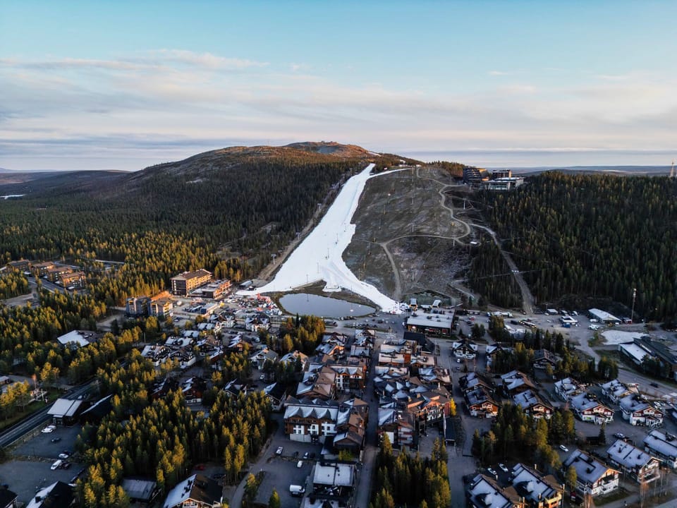
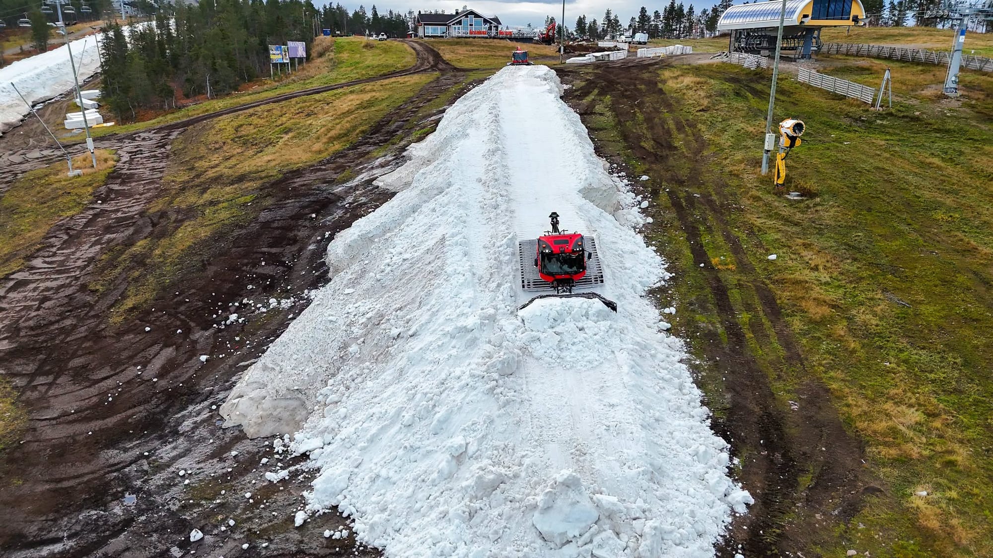
It’s a big weekend coming up with Finland’s season about to kick off as Levi (above) and Ruka ski areas get their seven-months plus seasons underway thanks to their huge stockpiles of snow from last winter, now spread back out on slopes art both areas as temperatures cool to create about 2km (1.25 miles) of runs, along with terrain park features, at each area - similar to what’s currently open on Alpine glaciers. Temperatures have been getting cooler with overnight lows close to freezing, but there have been some unwelcome light rain showers on the old snow too. Temperatures have been reported at around 0 to +10C through each 24-hour cycle.
Over in Norway, the Galdhøpiggen glacier (5/50cm / 2/20”) is reported to have reopened but currently continues to restrict access to prebooked race teams.
Scandinavia Forecast
Cold early‑autumn conditions continue across Scandinavia’s ski regions, with temperatures on Finland's slopes staying mostly above freezing by day but dipping close to or slightly below freezing overnight. Weather remains largely dry, with long spells of cloud and occasional brighter periods, and only very limited snowfall expected. Surfaces stay slushy or firm depending on elevation. In Norway, Galdhøpiggen remains colder overall, holding sub‑zero temperatures at altitude and retaining wintry conditions on upper terrain. Light snow flurries are possible there as weak fronts pass, but widespread precipitation remains unlikely across the region this week.
North America Report
The start of October is always an exciting time for North American skiing as this is the month when snow starts falling, snowmakers start firing, and more often than not, the first resort manages to start its operations for the new season.
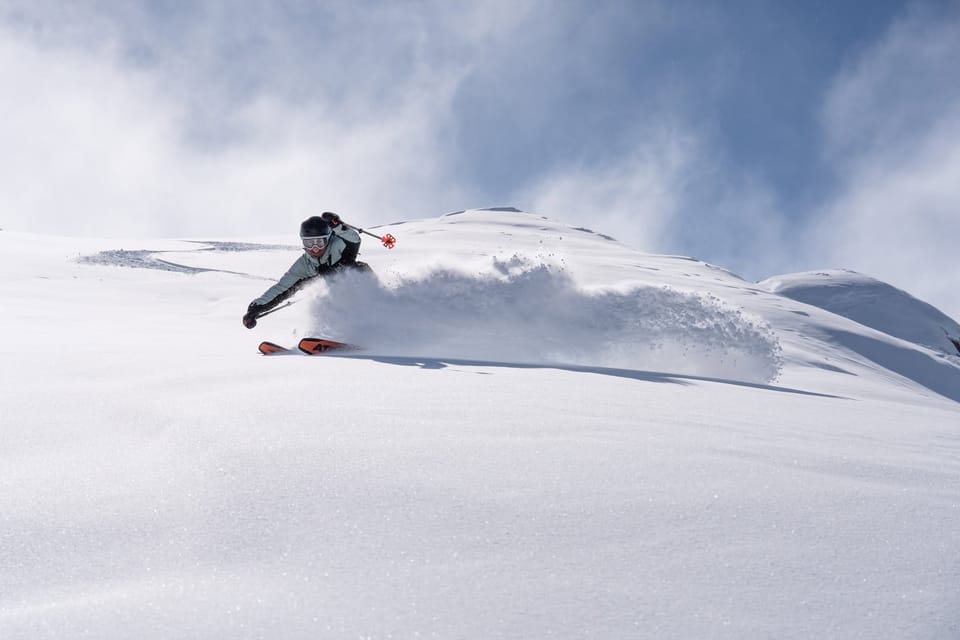
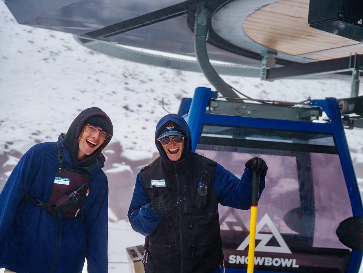
In terms of natural snowfall, there have been plenty of promising signs, with mountains across Alberta and BC in western Canada turning white on higher terrain once again and more snowfall reported on high terrain south of the border in states like Oregon too. Monday saw snow reported as far south as peaks in the California Sierras and down to the Arizona Snowbowl (below).
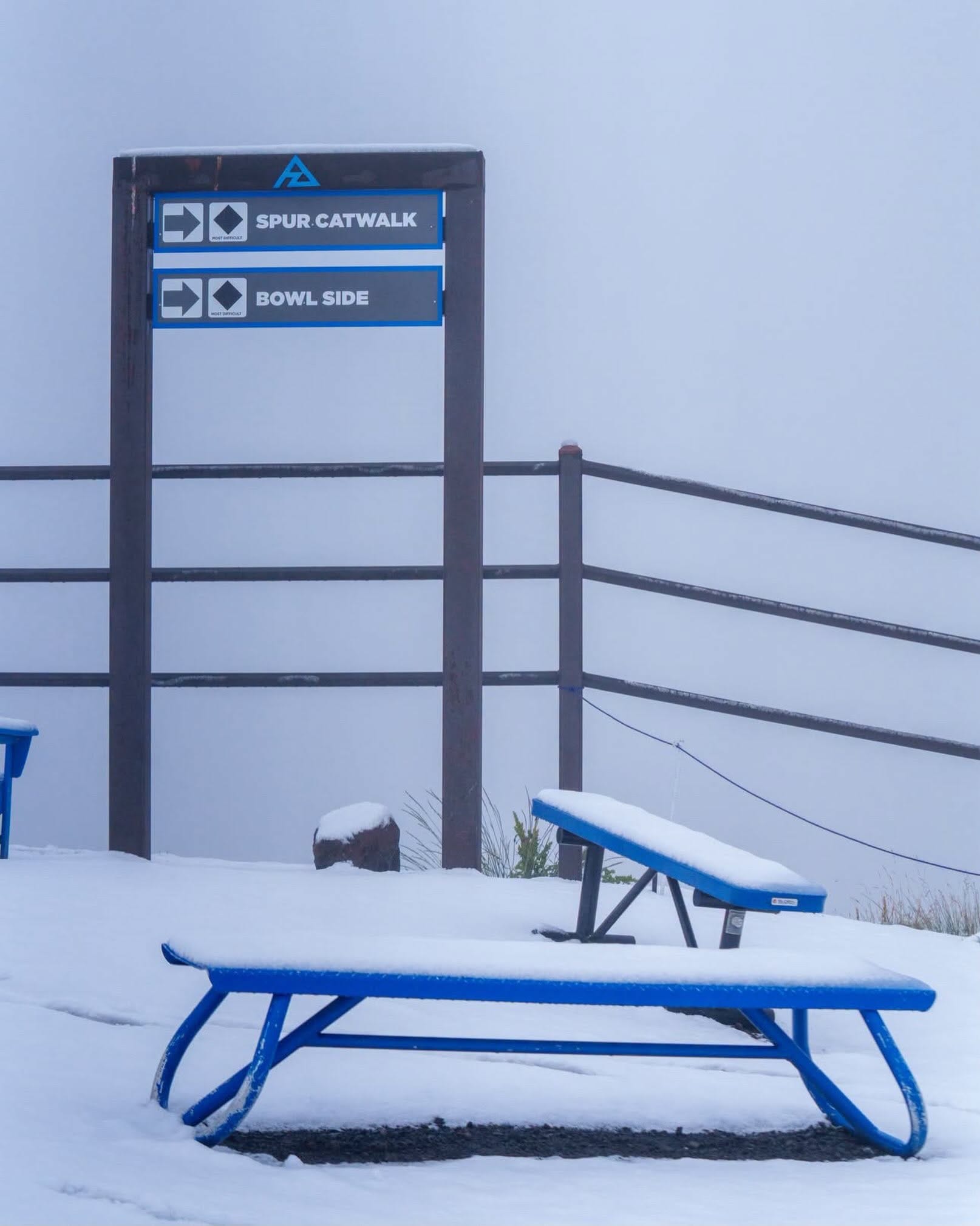
For snowmaking, Loveland ski area in Colorado’s “countdown to start of snowmaking” online clock hits zero hour this weekend, so hopefully conditions will be right for them to start making the white stuff.
For now though, the only lift-served white stuff you can ski on in North America remains indoors at Big Snow in New Jersey.
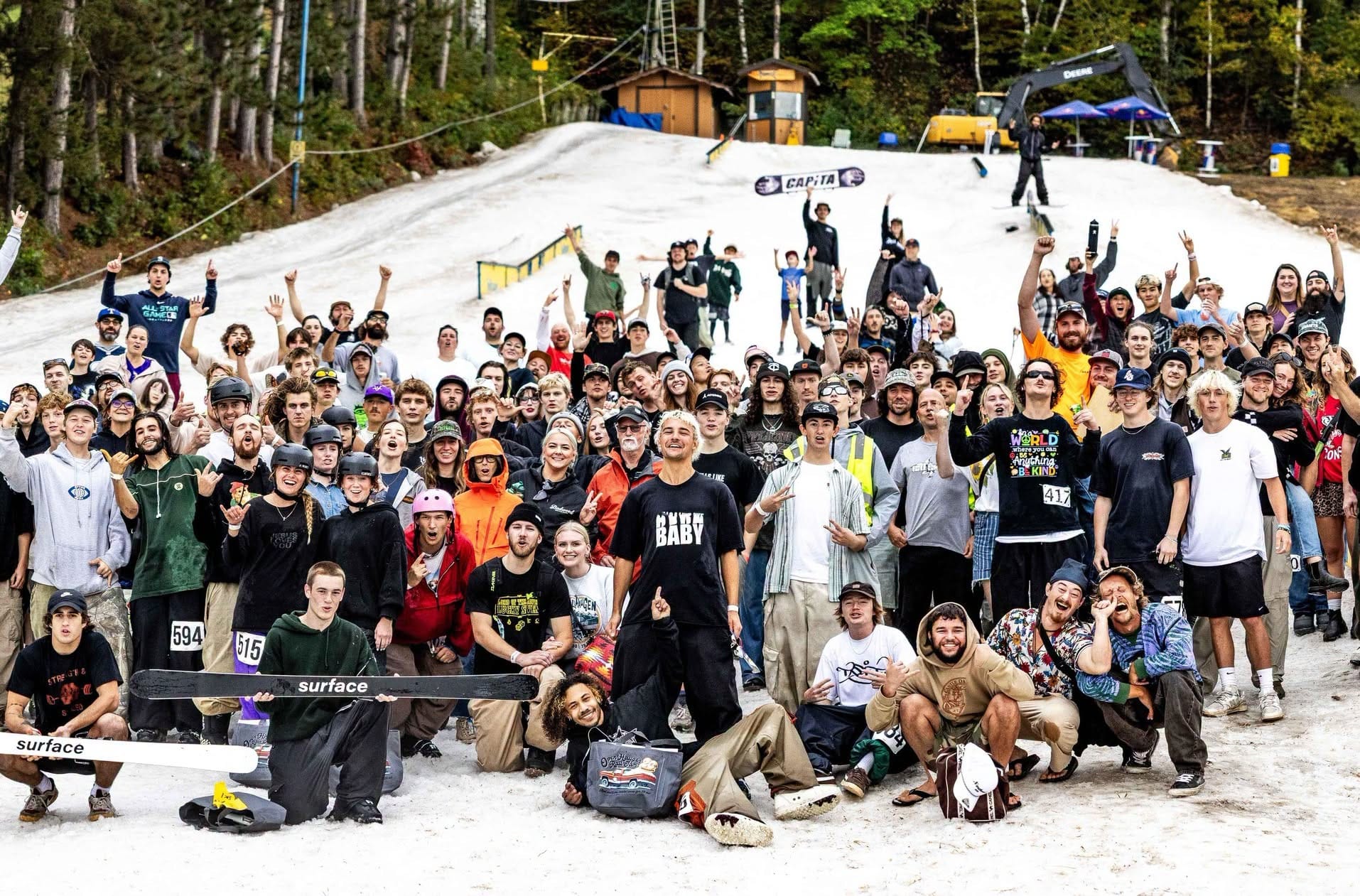
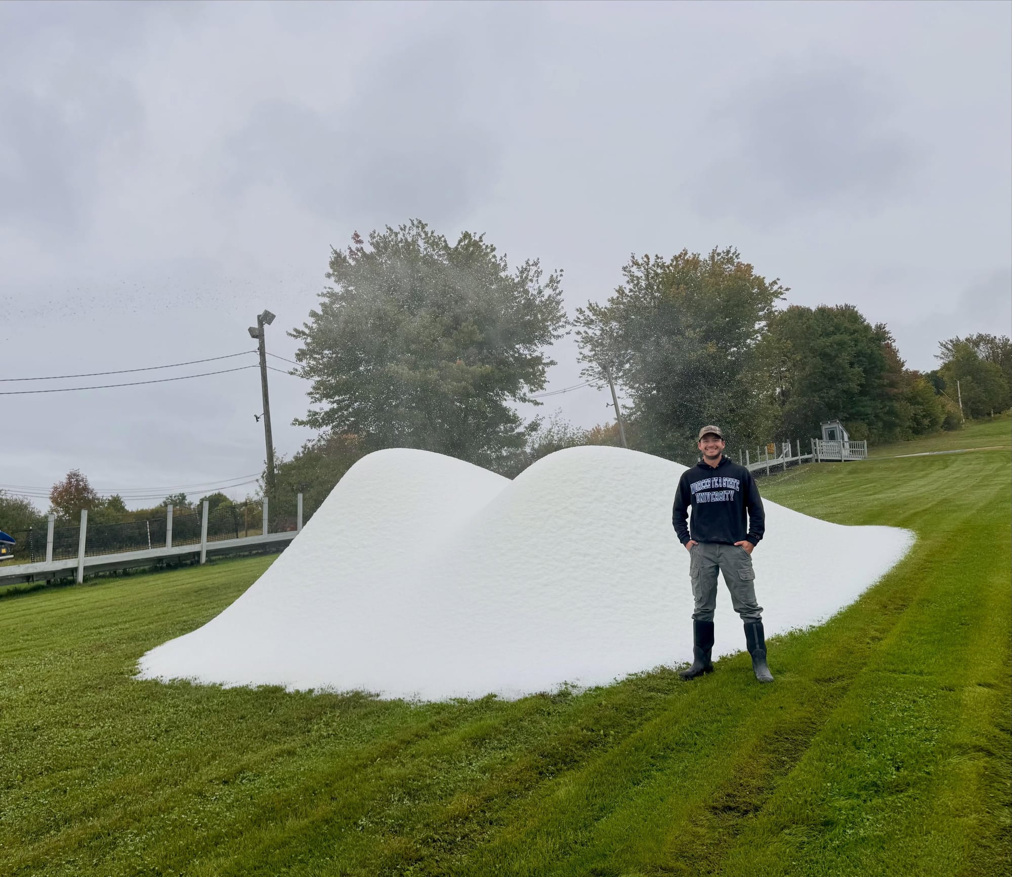
In the Midwest, Trollhaugen ski area in Wisconsin (pictured above last year) is due to run its OpenHaugen celebrations this weekend on 3 - 4 October from 11:00 am - 4:00 pm, with snow sports on snow saved from last season and unwrapped for the occasion. On the East Coast, Ski Ward in Massachusetts (below) has started all-weather snowmaking for the 26-27 season start there.
North America Forecast
Cold early‑autumn conditions persist across the higher ranges, with summit temperatures in the Rockies and Pacific Coast mountains often dipping into the teens and single digits °F on the highest peaks. Lower mountain bases generally sit in the 40s–50s°F, warming into the 60s–70s°F in sunnier inland valleys. Expect a mix of clear spells, passing cloud, and occasional light snow flurries at altitude, while lower elevations see mild afternoons and only limited precipitation. Winds remain stronger on exposed ridgelines, making it feel significantly colder up high.