Europe Weekly Snow Roundup #340
Weekly Snow News for Europe, updated 13 November 2026: Sölden reaches 80km of slopes open; French ski season due to get started this weekend; First ski area opens in Czech Republic for 26-27 season.
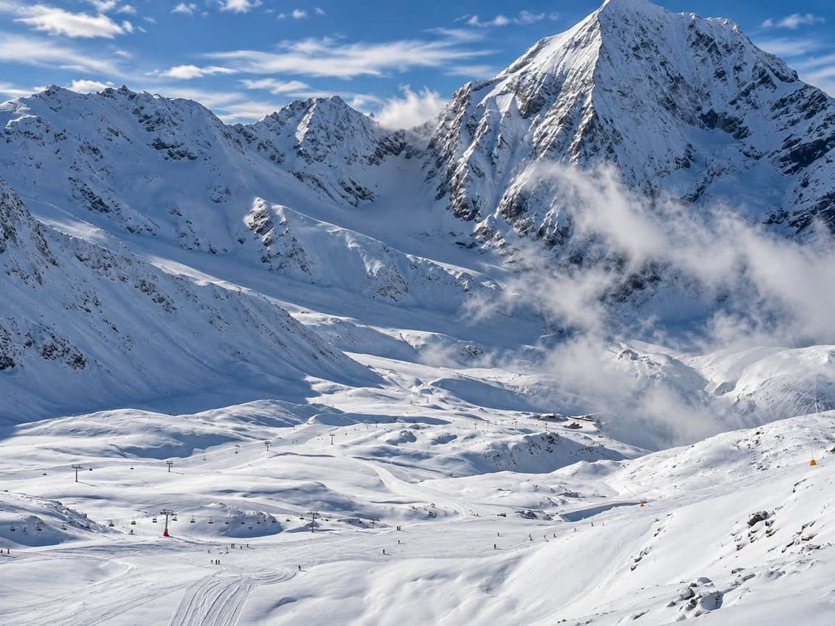
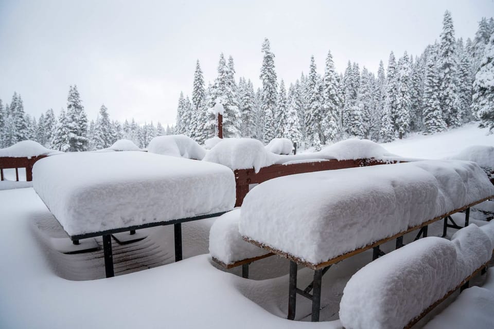
- Forecasts predict nearly 1m (40") snowfalls in Western Alps over next few days.
- Sölden reaches 80km of slopes open.
- French ski season due to get started this weekend.
- First ski area opens in Czech Republic for 26-27 season.
Austria Report
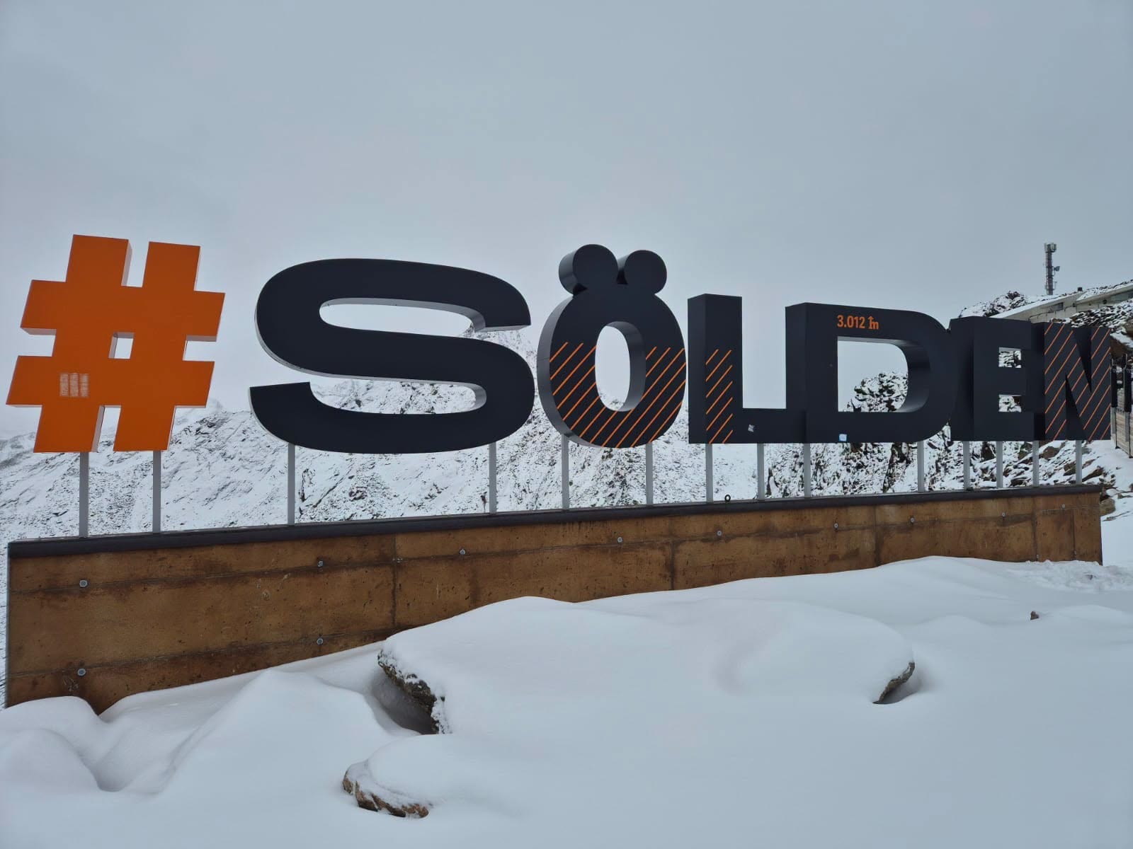
It has been a mixture of sunshine and showers through the past week on Austrian slopes, the freezing level moving between around 1200 and 2700m altitudes. Light to moderate snowfalls have been reported on high terrain, mostly above 1800m, sleet and rain at lower levels, with dry days in between. Sölden (0/62cm / 0/25”) continues to post the most terrain open anywhere in the world, now up to 80km (50 miles) of runs. Three more Austrian ski areas that aren’t reliant on snow farming or glaciers are set to start their seasons this weekend: Axamer Lizum and Obertauern near Innsbruck, as well as Obergurgl in the Ötztal, which also hosts the third round of the FIS Alpine Skiing World Cup during its opening weekend.
Austria Forecast
Austria’s ski regions are set for a changeable week ahead as a strong westerly airflow continues to drive a succession of Atlantic weather systems across the Alps. Rain and snow are expected at times, with the heaviest precipitation favouring northern and western mountain areas. The freezing level will start relatively high, generally between 2,000m and 2,800m, before steadily falling through the week to around 1,000-1,400m by the weekend. Temperatures at 1,500m are likely to range from about +5°C to -3°C, while higher terrain around 2,500m remains largely below freezing. Snowfall totals should build steadily at higher elevations as colder air arrives. Strong to gale-force westerly winds are also in the forecast mix, especially over the next few days.
France Report
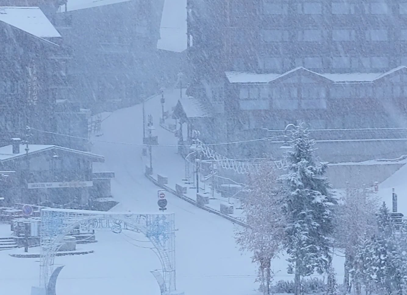
The French season is ready for launch with Tignes and Val Thorens set to be the first to open this coming weekend, and half a dozen more due to join them in the final weekend of the month. The good news is that after a record hot summer was followed by a problematic autumn without many good snowfalls, things are looking fairly promising, at least up above 1800m, after a week that's seen some of the heaviest snowfall so far at altitude. The most optimistic forecasts a week out of up to 1.5m (5 feet) possible weren't really realised, and some centres saw rain above 2000m rather than snowfall on Tuesday, but there were still some decent dumps up high over the past week after the rain. There have been warnings of high avalanche danger, though due to the vagaries of conditions.
France Forecast
French ski regions can expect further Atlantic fronts bringing periods of rain at lower elevations and significant snowfall in the high mountains. The freezing level, currently around 2,200-2,600m, is forecast to fall steadily through the week, dropping to around 1,500-1,700m by Thursday and potentially 1,200-1,500m by Friday and the weekend. Temperatures are likely to range from +4°C to +7°C at 1,500m early in the period, falling to around 0°C to +3°C later, while 2,500m elevations remain mostly below freezing. There's potential for upto 99cm (40") of snowfall up high by the start of next week. Strong south-westerly winds are expected at times, becoming severe on exposed ridges and peaks.
Italy Report
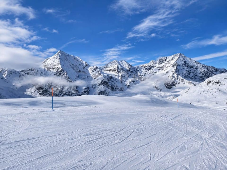
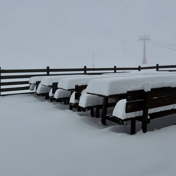
Italy remains in three areas open with fresh snowfall, mostly above 1800-2000m through the past week, although a Tuesday temperature spike also brought rain above 2,000m for a time. Cervinia (5/60cm / 2/24”) reported plenty of fresh snowfall at altitude. Val Senales (0/50cm / 0/20”) has gradually expanded the amount of terrain it has open, now at 8km (5 miles) of slopes, the same as Sulden. Snowmaking is underway in the Dolomites and Madonna di Campiglio is expected to open this weekend.
Italy Forecast
The Italian Alps and Dolomites look set for a mixed week, with a generally westerly weather pattern bringing occasional precipitation and increasingly wintry conditions at altitude. Snow initially falls mainly above 2,300-2,500m, but the snow line is expected to lower to around 1,900-2,100m during later disturbances. Temperatures are forecast to range from around 0°C to 6°C at 1,500m and -5°C to 0°C at 2,500m, while peaks around 3,000m remain well below freezing, typically between -9°C and -4°C. After some unsettled spells, brighter conditions should develop at times, particularly later in the week. Strong westerly winds are expected on higher ridges and summits, occasionally becoming a significant factor for exposed terrain.
Switzerland Report
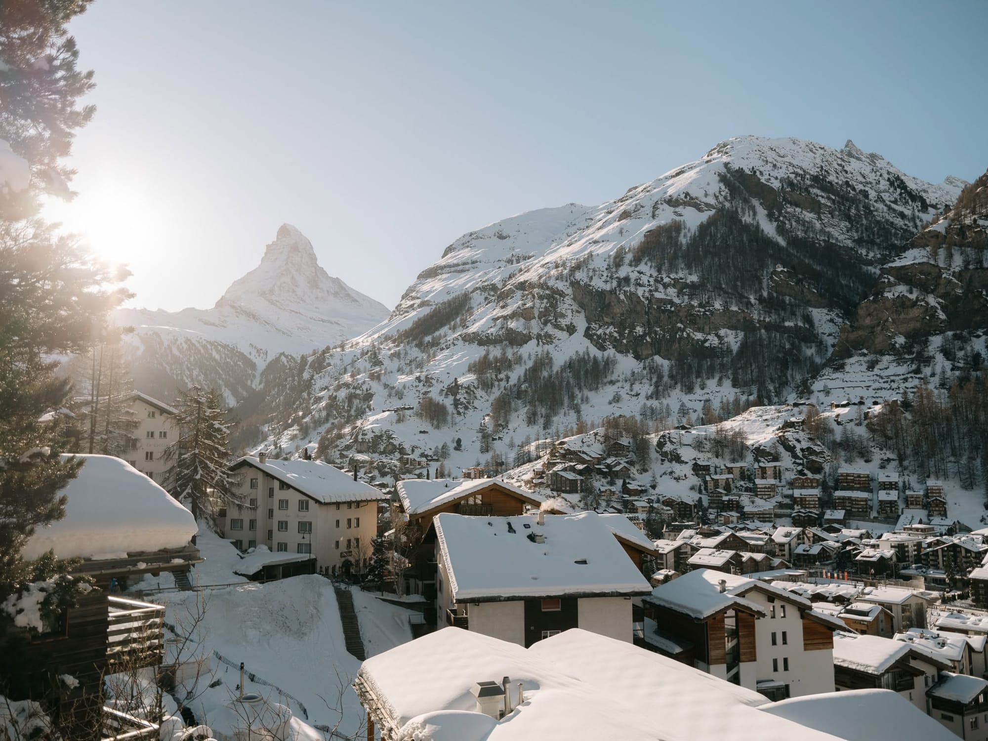
Switzerland reached 10 areas open at the weekend, with Andermatt and Davos both starting their seasons. Davos (0/6cm / 0/2”) opened reporting a very thin base but nearly 8km (5 miles) of slopes open in its main Parsenn sector. The Parsenn chairlift, 1st and 2nd section, the Rapid chairlift and the Totalp chairlift were all operating from day one. For Andermatt it was there Gemsstock ski area opening first. Around half of the open Swiss areas are only operating at weekends for another week or two, with Zermatt (0/30cm / 0/12”) reporting the most terrain open in the country with around 32km (20 miles) of runs available over the Italian border.
Switzerland Forecast
A wintry week is expected as a vigorous westerly airflow continues to bring regular pulses of precipitation, particularly to the northern and western Swiss Alps. Snowfall will be frequent at higher elevations, with some of the largest accumulations expected along the northern Alpine slopes and in the western Valais. The snow line is expected to be steadily lower, around 1,200- 1,400 m by Friday and near 900- 1,200 m at times over the weekend. Temperatures at 2,000m should range from around 0°C to -2°C, with much colder conditions on the highest peaks. Strong to storm-force westerly winds are expected on exposed ridges and summits for much of the week, with blizzard conditions possible at times in the high mountains.
Scandinavia Report
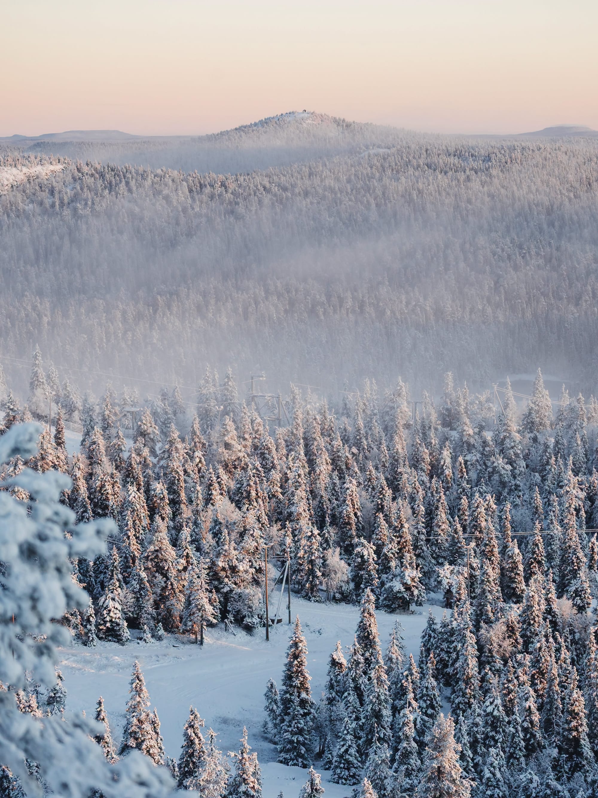
Finland’s Levi was the focus of world snow reporting at the weekend as it hosted the second stage of the 26-27 Alpine Skiing World Cup tour. There was a dusting of natural snow, and temperatures had finally dropped below zero, but they’re still largely reliant on the farmed snow from last winter. Ruka is also open, but Pyhä has delayed its season start due to the mild build-up to winter. There have been more snow showers on Norwegian and Swedish fells, but it's another week or two until the bigger resorts are expected to open. Norway’s Oppdal is expected to open this weekend, joining the still-open Galdhøpiggen summer ski centre (15/60cm / 6/24”). In Sweden, Tärnaby (0/40cm / 0/16”) is open, and Tänndalen (0/45cm / 0/18”) is also open at weekends already, and Kåbdalis (0/40 cm / 0/16”) is also operating.
Scandinavia Forecast
Scandinavian ski areas are set for a predominantly cold and wintry week, with temperatures generally remaining below freezing across much of Norway, Sweden and Finland. Snow showers are forecast at times, particularly in the mountains of central and northern Scandinavia and across northern Sweden, while Finland should remain cold with further snow cover consolidation. Temperatures will typically range from -10°C to -2°C in ski areas, locally colder in the far north. Winds should be mostly light to moderate, though exposed Norwegian mountains may see stronger gusts. Snow conditions are expected to gradually improve across the region.
Pyrenees Report
The start of the season in the Pyrenees is getting closer, with most of the region's leading ski areas (and plenty of the smaller ones too) hoping to open on the last weekend of the month or the first in December. The past week has been mixed, with most areas only seeing light precipitation and with daytime highs at +10C at base level that's often been rain and sleet rather than snow. But overnight lows have been getting well below freezing at altitude, and there has been some natural snowfall on high terrain too, so it's really about how things go over the next week or two now.
Pyrenees Forecast
The Pyrenees should see a mixed week, with generally mild conditions at lower elevations but colder weather arriving at times in the high mountains. Most precipitation is expected to be light, with snowfall largely confined to higher terrain. The snow line is forecast to fluctuate between around 2,200m and 1,500m, occasionally dipping a little lower towards the weekend. Temperatures will typically range from 2°C to 13°C in mountain valleys, remaining close to or below freezing on the highest slopes. Winds should be mostly light to moderate, with only occasional stronger gusts on exposed ridges.
Scotland Report
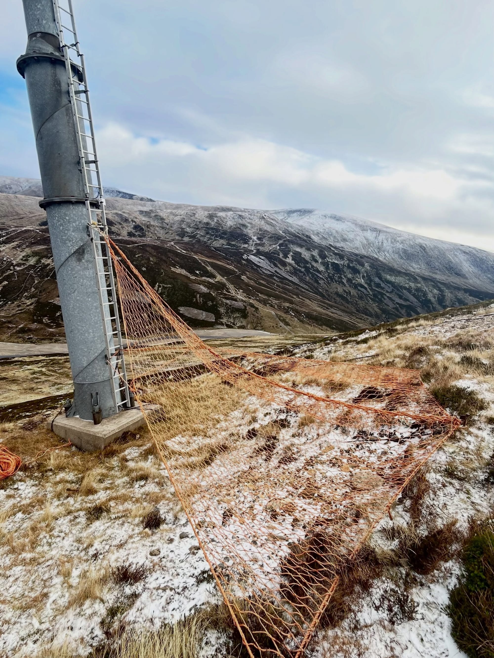
A fairly promising week on Scottish mountains with most reporting light snowfalls down to low elevations at times over the past week, along with frequently subzero temperatures overnight and at altitude. It’s thought nowhere is likely to open until early December unless there’s an exceptional early snowfall. Glencoe and The Lecht both have expanded all-weather snowmaking operations with new machines this winter, enabling them to cover larger areas with snow more quickly, to some extent regardless of the weather.
Scotland Forecast
The Scottish Highlands, including the Cairngorms and Grampian Mountains, are set for a cold week with wintry conditions on higher ground. Snow showers are expected at times, particularly across eastern ranges, with snow most likely above 600-800m initially and occasionally falling to near ski area base elevations. Temperatures on the mountains will generally range from around -4°C to 1°C, with freezing levels typically between 700m and 900m, locally lower in the north-east. Strong easterly winds will create severe wind chill, with gusts of 30- 50 mph on exposed summits and ridges, although winds should ease later in the week as colder, drier weather develops.
Eastern Europe Report
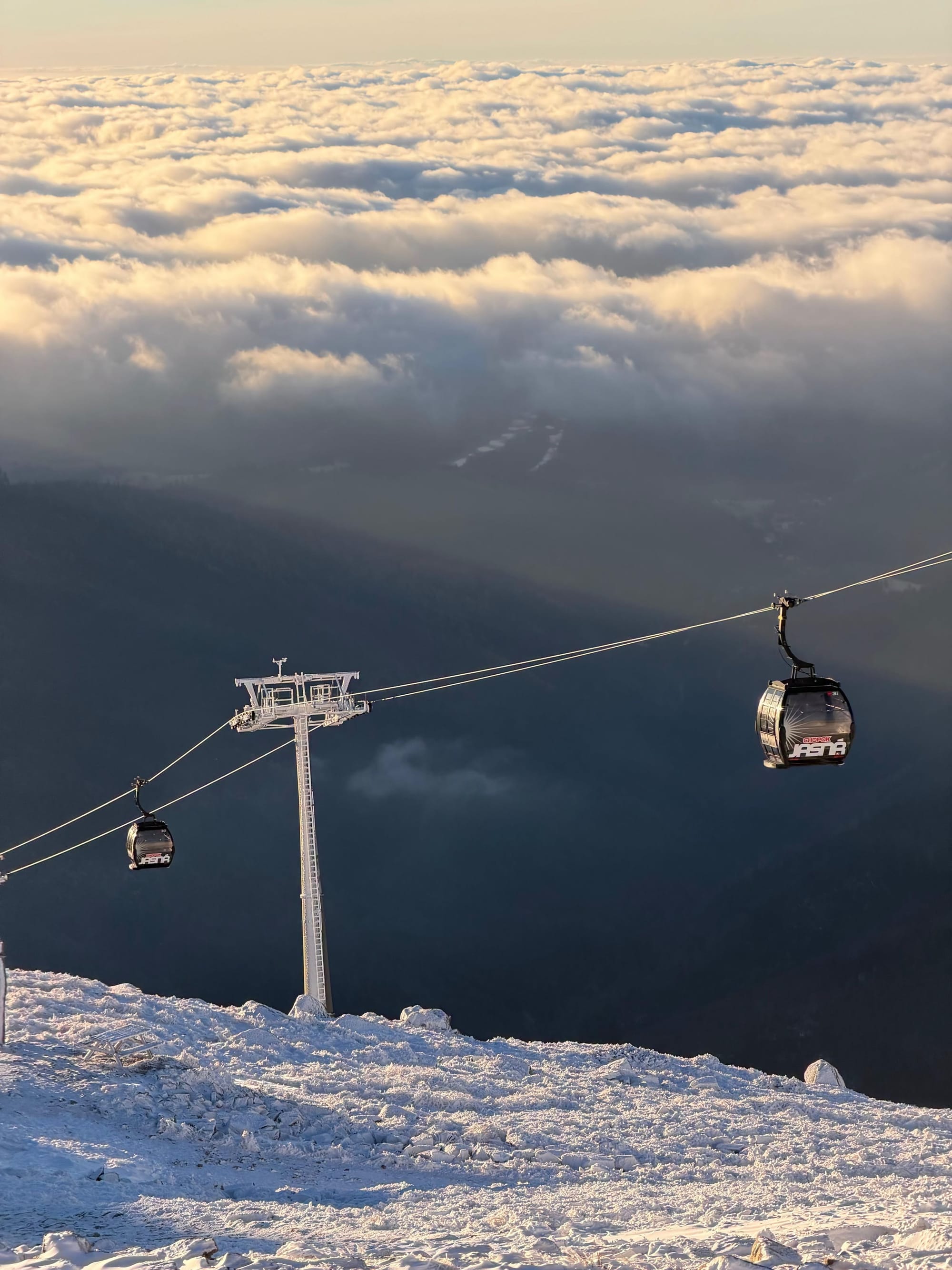
Eastern European ski regions have had a fairly typical mid-November week, temperatures largely in the 0 to +10C range at bases, colder at altitude. It’s been dry much of the time with precipitation mostly falling as rain or sleet but with snow at times above about 1800m altitudes. Overnight lows have also allowed snowmaking systems to fire up, especially on higher terrain overnight at more northerly resorts. The largest area in the north, Slovakia’s Jasna, is already showing good coverage on some higher runs on its webcams. Monínec, south of Prague, has become the first Czech ski area to open for the 2026-27 season, welcoming up to 500 visitors, thanks to a combination of snow farming and all-weather snowmaking technology. Using stored snow and TechnoAlpin SnowFactory technology, it has 600 metres of its main slope operating, with the full 1,200-metre run due to open on 27 November. Otherwise, nowhere is open yet and nowhere is expected to open until the final weekend of the month, with most resorts expected to open over the pre-Christmas December weekends.
Eastern Europe Forecast
Eastern Europe's ski regions, including Bulgaria, Romania, Slovakia, Slovenia and southern Poland, should see mixed but gradually more wintry conditions over the coming week. Milder weather will dominate initially, especially in the Balkans, but colder air is expected to arrive later, bringing snowfall to higher parts of the Carpathians and other mountain ranges. Freezing levels will generally range between 1,200m and 1,800m before lowering in places late in the week. Mountain temperatures should range from around 5°C to -8°C depending on altitude, with the coldest conditions in the higher Romanian ranges. Winds are expected to be mostly light to moderate, with fresh snow likely in parts of Romania while Bulgarian mountains are likely to remain relatively dry.