North America Weekly Snow Roundup #341
Weekly Snow News for North America, updated 19 November 2026: Ski season gets underway on the East Coast; BC’s 26-27 season gets started; At least 10 Colorado ski areas expected to be open this weekend as Utah’s season also gets started.
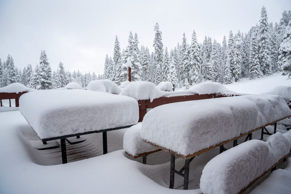
- Ski season gets underway on the East Coast with resorts opening in Maine, Vermont and North Carolina.
- BC’s 26-27 season gets started with North America’s largest resort opening for the winter.
- At least 10 Colorado ski areas expected to be open this weekend as Utah’s season also gets started.
Western Canada Report
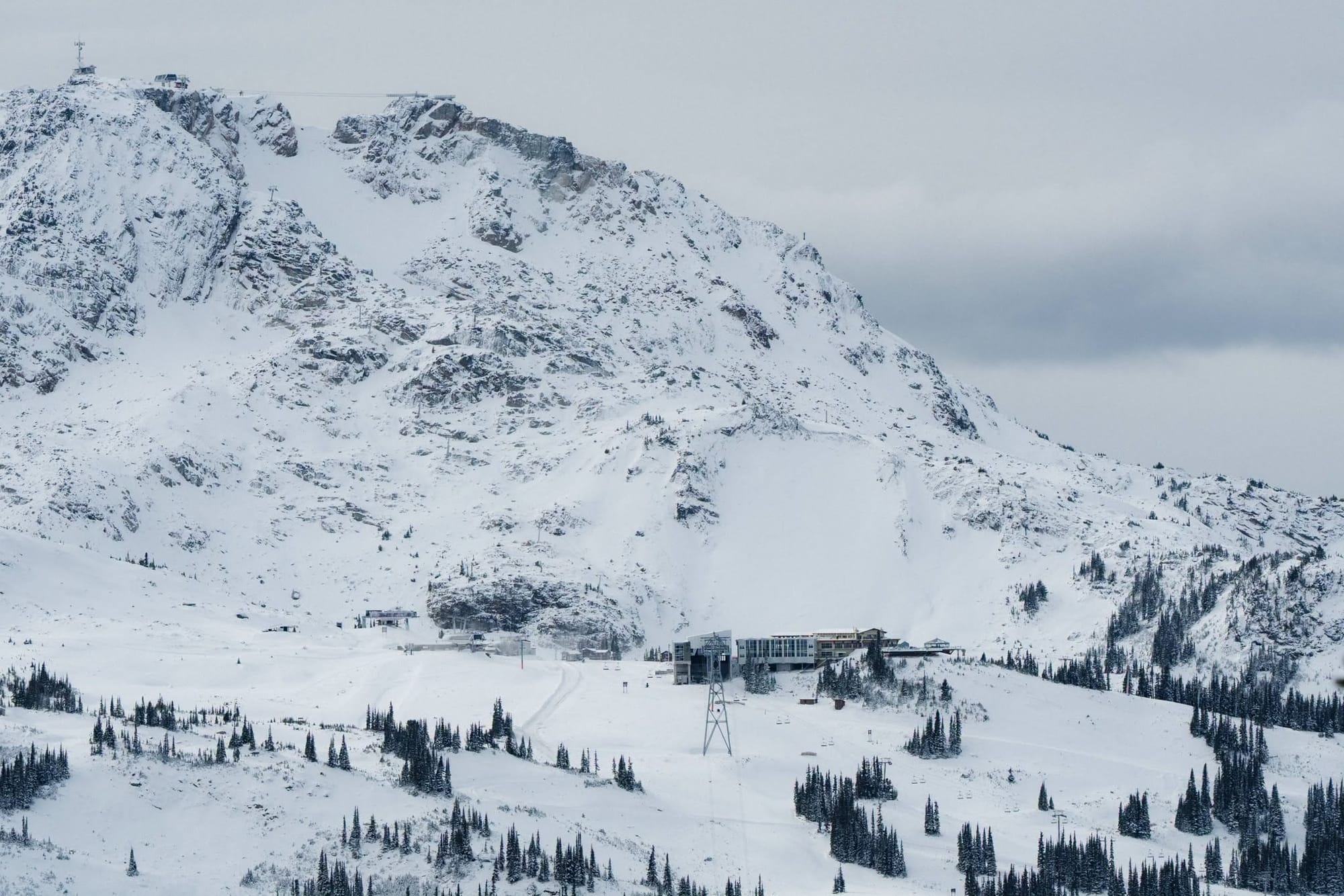
Ski areas in western Canada have been reporting snowfall over the past week, which is much needed at those already open centres around Banff, where bases remain thin and open terrain is just a few miles of runs so far. North America's largest ski area, Whistler Blackcomb, is due to open for the season imminently and has been posting images of snow-covered slopes, so it looks like it could be a good start. The region has been bolstered by further snowfall and snowmaker-friendly temperatures, with active systems moving in off the Atlantic. Inland, a second BC area, Sun Peaks, the country's second-largest area, was also due to kick off its 26-27 season but announced on Tuesday it would delay.
Western Canada Forecast
British Columbia's coastal mountains should continue to benefit from an active Pacific storm track over the coming week, bringing regular precipitation with the heaviest snowfall falling on higher slopes as snow levels fluctuate. Conditions should be particularly favourable in the Coast Mountains around Whistler. Further east, across the BC Interior and Alberta Rockies, snowfall is expected to be lighter and more intermittent, but colder temperatures will provide excellent snowmaking opportunities while helping preserve existing snow cover. Overall, Western Canada looks set for a good mix of fresh snow on the coast and wintry conditions inland.
Eastern Canada Report
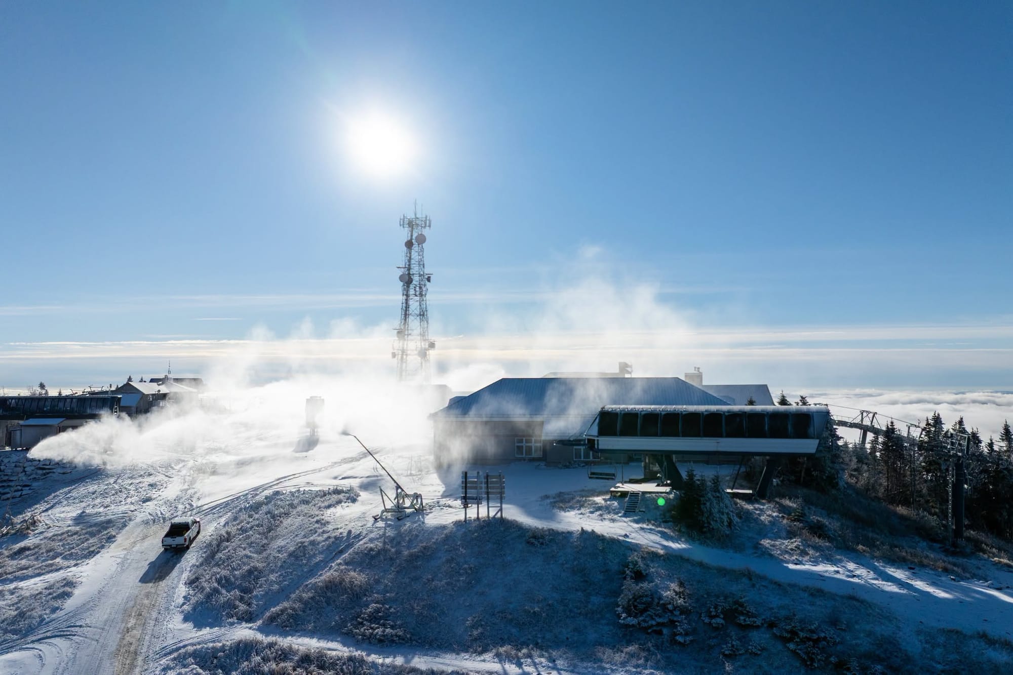
Eastern Canada’s season is yet to launch but there have been promising signs over the past week with some natural snowfall and overnight lows cold enough, especially at altitude, for snowmaking systems to fire up. Quebec’s Mont Saint Sauveur looks set to be one of the first to open, just as it was one of the last to close last May. All of the areas open so far, though, remain in Western Alberta, with the three Banff-region centres joined by Nakiska at weekends. It's been another cold (highs around freezing) but mostly clear week inland, with little fresh snow, and ski areas are still struggling to open a huge amount. Jasper's Marmot Basin has kept delaying its target opening date but at time of writing says it will open this weekend. Lake Louise (22/26cm / 9/11") has about the most terrain open; Sunshine (15/30cm / 6/12”) opened its first chair and full run of the season at the weekend after just having a hike-to terrain park set up open initially.
Eastern Canada Forecast
Following an unusually mild spell, temperatures are expected to cool across Ontario and Quebec, helping resorts ramp up snowmaking operations. Natural snowfall opportunities look limited in the near term, but any light snow that does fall should be better preserved as colder air settles across the region. Ski areas in the Laurentians, Eastern Townships and around Mont Tremblant are likely to benefit most from the cooler conditions, while Ontario resorts should also see improving snowmaking weather.
US West Coast Report
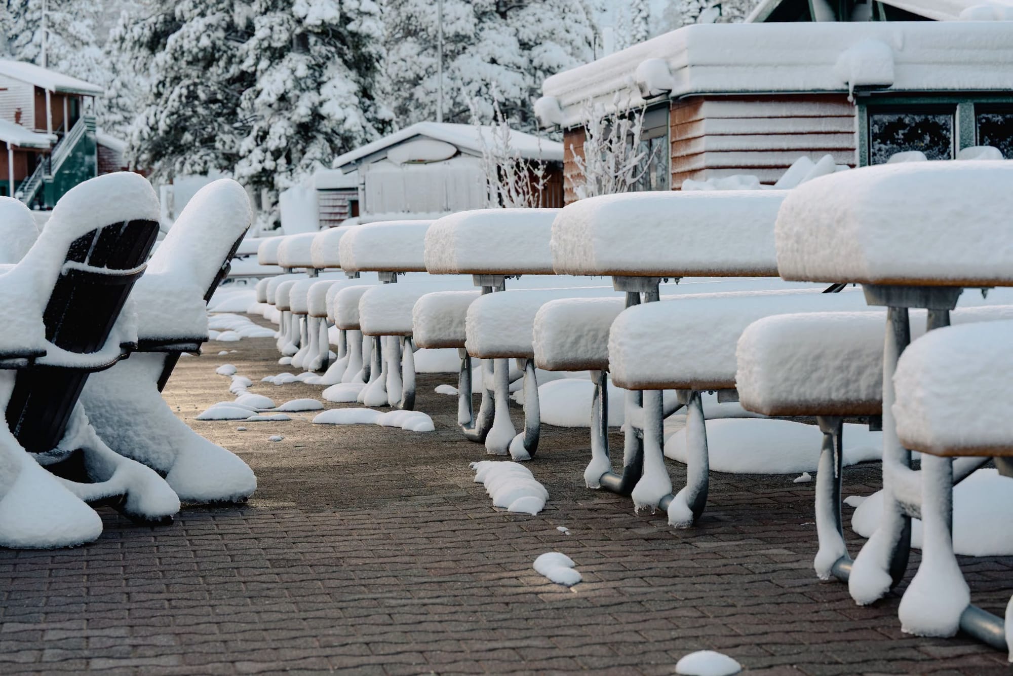
There were multiple storm warnings going into this week for an atmospheric river delivering a lot of precipitation and gales to ski areas along North America's west coast, particularly California. The warnings were for torrential rain at lower altitudes and wet snow at higher elevations. Mammoth was the first to benefit, reporting an initial 10-14" (25- 35 cm) of snowfall and expanding its early season terrain with Stump Alley Express (2) and The Mill officially opening. Several more resorts are expecting to open this weekend, joining Mammoth and Mt Rose, including Heavenly and Northstar with The Palisades announcing an early opening after several feet (60cm) of snowfall so far.
US West Coast Forecast
The ongoing series of Pacific systems is expected to bring further periods of precipitation to the mountains of Washington, Oregon, California and Nevada, although relatively mild temperatures will keep snow levels high at times. As a result, the heaviest snowfall is likely to be concentrated on upper slopes, while lower elevations may see a mix of rain and snow. Conditions should remain favourable for significant accumulations at higher resorts in the Cascades and Sierra Nevada, with the storm track continuing to target the western mountains through the period.
US Rockies Report
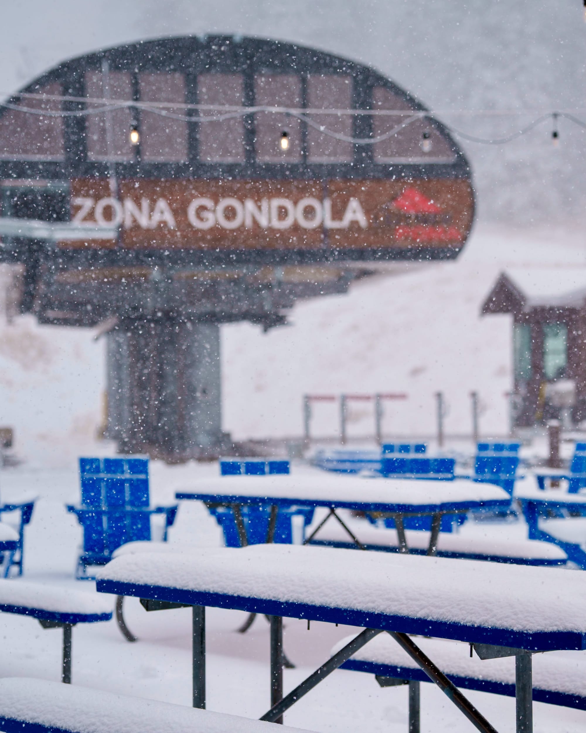
Colorado did what it does each autumn and reached eight ski areas open at the weekend – that’s about the same as the rest of North America combined and if it were a country would put it joint second in a list of countries with the most centres open. Vail (4/18” / 0/45cm) and Winter Park (4/18” / 10/46cm) were among the latest resorts to open. It has been a fairly promising week with some moderate snowfall accumulations on higher terrain and temperatures cold enough for further snowmaking. However, most areas still only have a handful of trails open so far, often just one or two and some including Steamboat have announced planned season start delays due to the mild conditions. Wolf Creek (0/31" / 0/75cm) is the exception, having reopened at the weekend after closing for more than a week due to the flooding state-of-emergency in its south Colorado locality; it's currently posting the deepest snow in the country and more than 60 runs open – 10 to 30 times more than most other areas so far. Utah's season finally got going nearly a fortnight later than originally hoped, with Brian Head opening on Tuesday after reporting 22 inches (55cm) of snowfall over the weekend. More big names are expected to open this weekend, including the largest ski area in the US, Utah's Park City Mountain.
US Rockies Forecast
The weather is expected to become more active across the Rockies later this week, with a stronger storm arriving towards Friday and Saturday, bringing more widespread snowfall and a welcome refresh for early-season ski terrain. Resorts in Colorado could see around 4-10 inches (10- 25 cm) over the next five days, with locally higher totals on favoured slopes. Temperatures should remain cold enough to support ongoing snowmaking between storm systems.
US Midwest Report
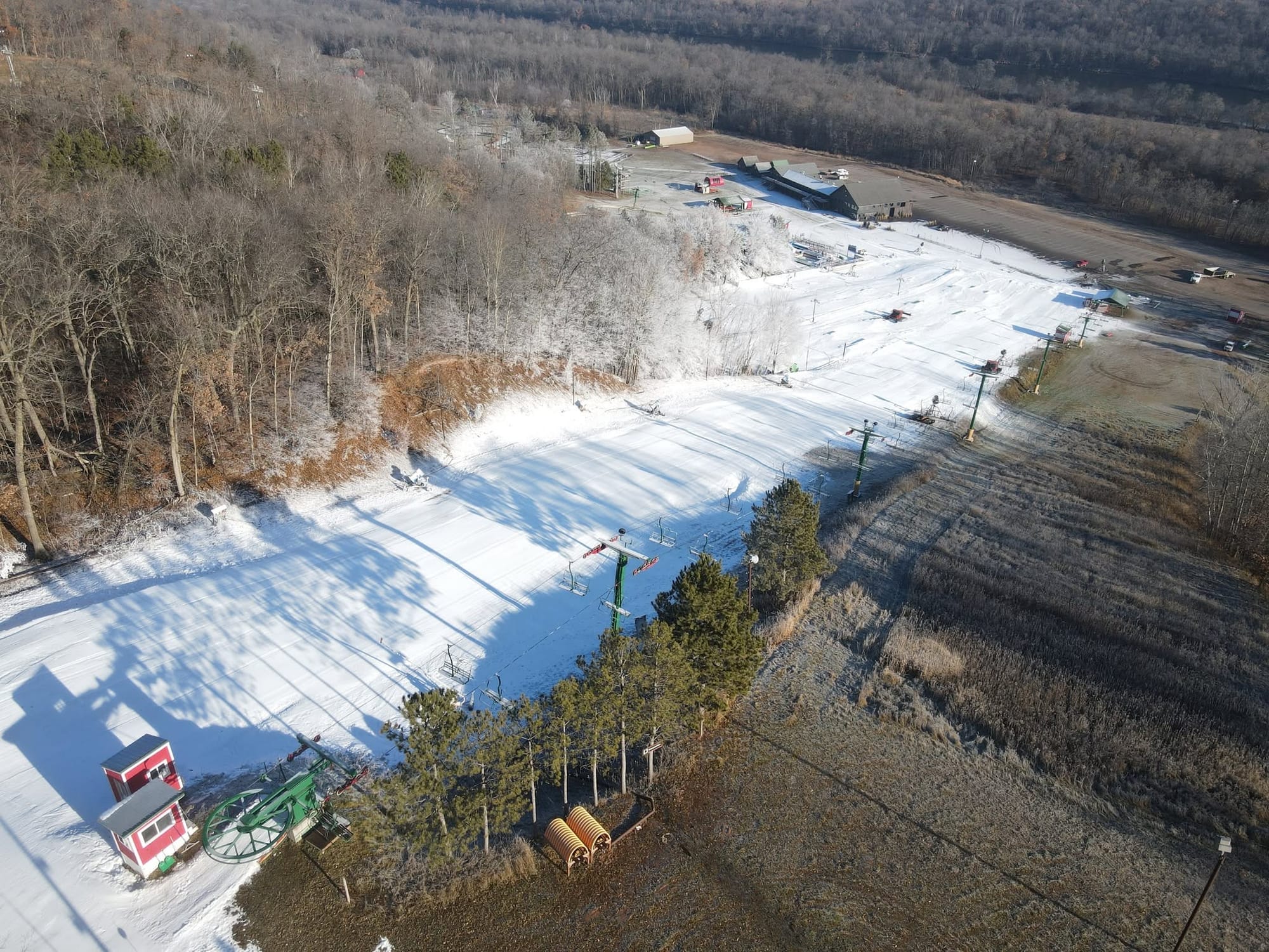
Wild Mountain(10/60cm / 4/24”) in Minnesota, which in some years has been the first to open in North America in early October, became the first in the Midwest this fall after the region had a much more challenging (mild) October/November, only really allowing for serious snowmaking to get underway in the past week. It opened on Saturday with a main run and terrain park features open on 100% machine-made snow. Wisconsin’s Trollhaugen was next to open, on Sunday.
US Midwest Forecast
Increasingly wintry weather is forecast over the coming week as colder air settles across the region. Ski areas in Michigan, Minnesota and Wisconsin are likely to benefit most from the temperature drop, allowing snowmaking systems to operate more consistently and helping resorts build their early-season bases. While significant natural snowfall does not appear likely still at this stage, occasional light snow events and the potential for lake-effect snow near the Great Lakes are there.
US East Coast Report
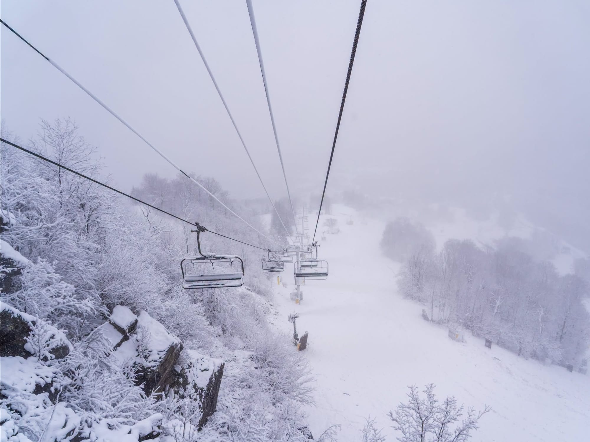
The US East Coast saw a bit of a Nor'easter at the weekend, bringing some snow and further low temperatures for snowmaking. Sugar Mountain in North Carolina, to the south, was one of the first in eastern America to open for the 2026-27 ski season following cold temperatures, extensive snowmaking and 9 inches (22cm) of natural snowfall. Several runs and lifts are operating, with more terrain expected soon. In the Northeast, after around 5 inches (12cm) of snowfall and ideal snowmaking temperatures, Killington fired up 300 snow guns and confirmed on Sunday that Opening Day would be Tuesday, 17 November for passholders, with public opening on Wednesday, 18 November. The resort’s snowmaking efforts have been focused on North Ridge, where they opened Rime, Reason, and Upper East Fall. Maine’s Sunday River also set the 18th as opening day, with Sugarloaf targeting this Saturday.
US East Coast Forecast
After an extended period of unseasonably mild weather, cooler air is expected to spread across the Northeast, helping resorts from Vermont and New Hampshire to Maine and New York boost snowmaking efforts. The likelihood of natural snowfall appears limited in the near term, but any light accumulations should be better preserved as temperatures trend lower. Increasingly wintry conditions developing as the weekend progresses.