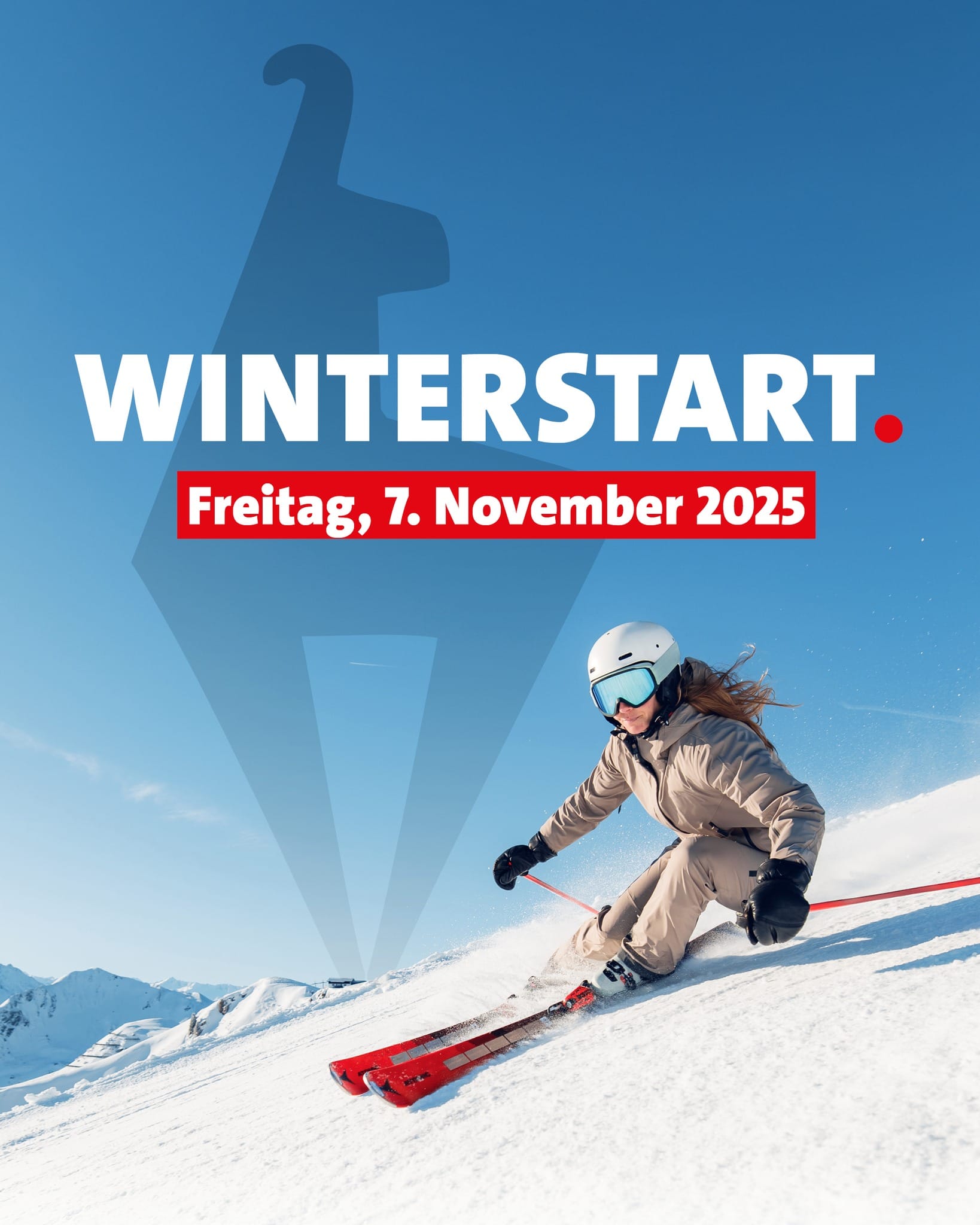
Europe Weekly Snow Roundup #288
Weekly Snow News for Europe, updated 12 Nov 2025 — mostly dry Alps with mild temperatures, glacier skiing continuing across Austria and Switzerland.
- Dry and mild early-season week across the Alps
- About 20 Alpine ski areas now open, mostly glaciers
- Austria’s Kitzbühel joins early openings using snow farming
- Swiss resorts lead globally with ten centres operating
- Scandinavia cold and stable; Pyrenees see first November snow
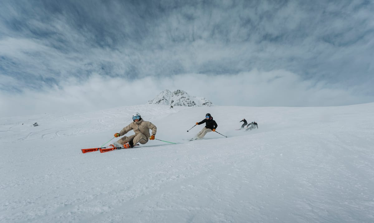
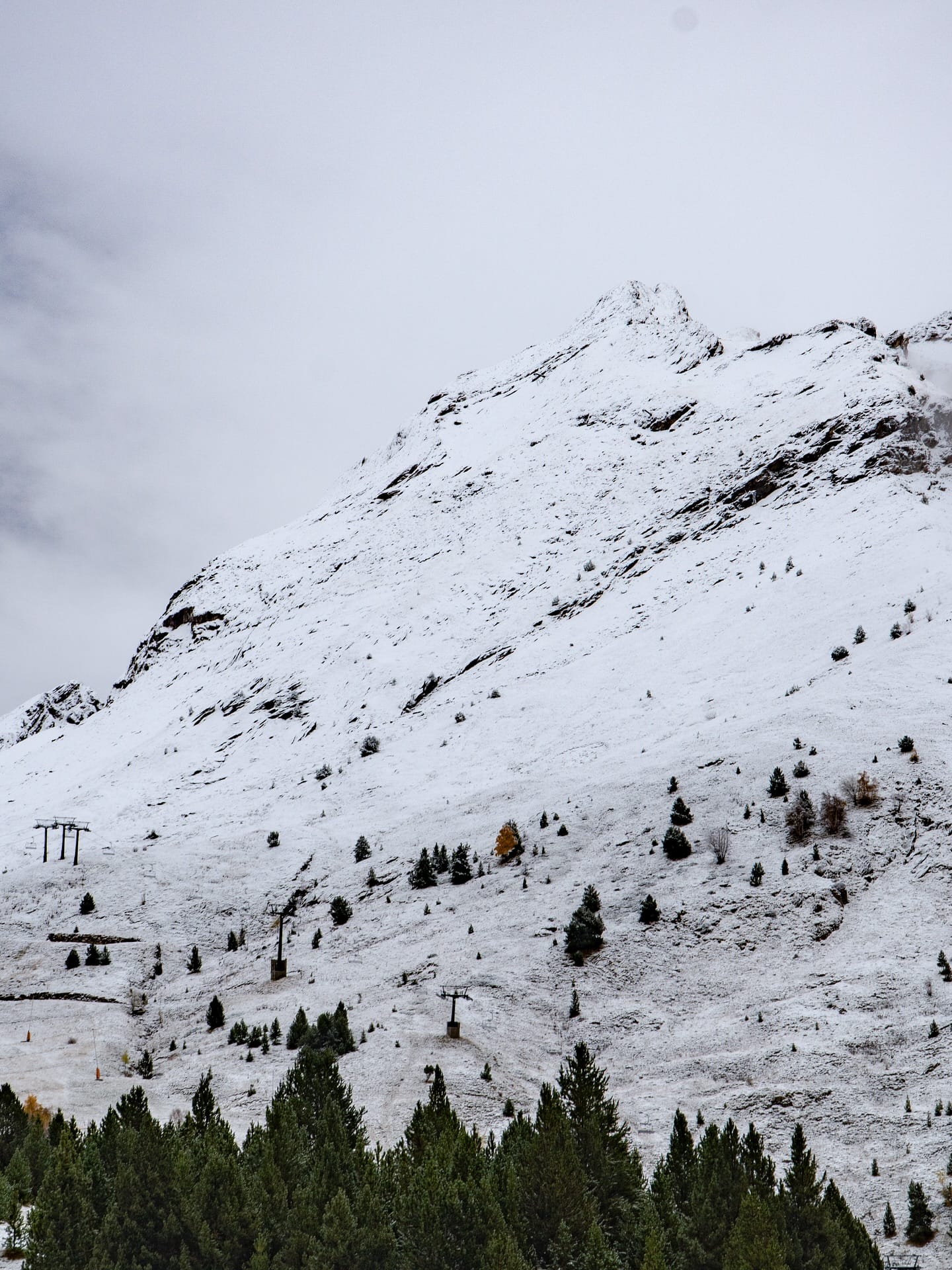
Alps Snow Report and Ski Conditions
It’s been a mostly dry, often sunny and fairly mild week in the Alps after the excitement of the snowfall at the end of October. That means the early snow line has been moving back up the mountain. Some ski areas did still start their seasons at the weekend despite the conditions. In total, there will be around 20 ski areas open in the Alps at the weekend, most of them thanks to high-altitude glacier terrain, but Kitzbühel joins Switzerland’s Murren in opening thanks to snow farming. Arosa, Davos, and Glacier 3000 near Gstaad also opened, giving Switzerland the most ski areas open in the world at present and making it the first to report 10 areas open for the season, albeit with many currently opening only at weekends.
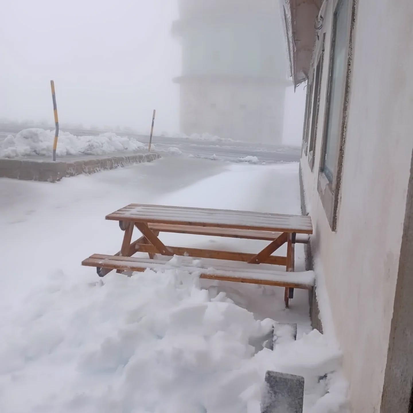
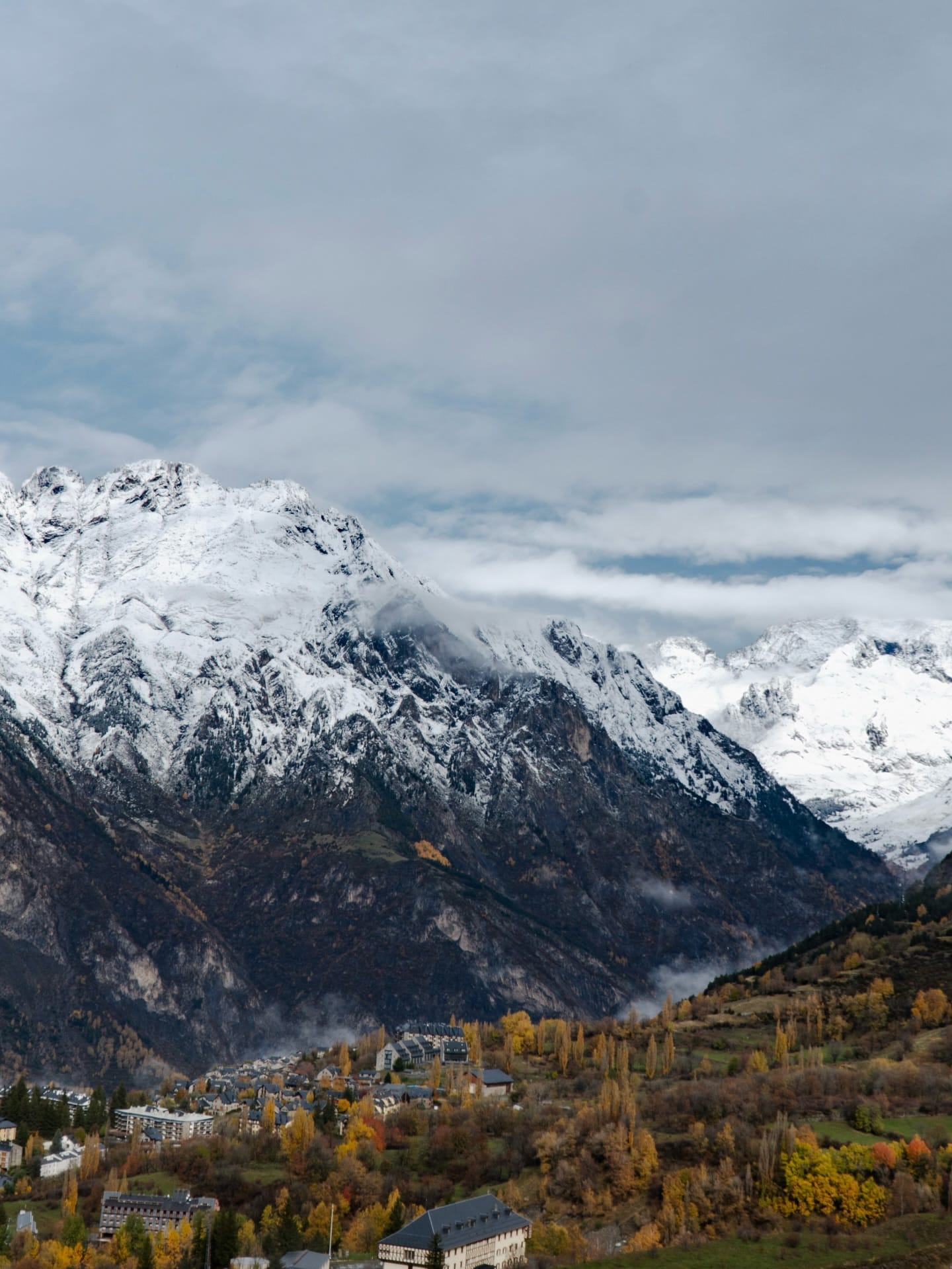
Cerler (Spain) and Serra da Estrela this week
By contrast, the Pyrenees saw their first significant snowfall in about a month as a front moved in from the Atlantic, passing through southern Europe. There was even some significant early snow drifting at Portugal’s sole ski area, Serra d’Estrella. No ski areas are expected to open here until the very end of the month.
Scandinavian peaks have stayed predominantly subzero, whilst ski areas in Eastern Europe are currently closed ahead of the season, with minimal natural snowfall over the past week due to warmer temperatures. Cold weather is due to return imminently, though, allowing snowmaking to begin.
Austria Snow Report and Forecast
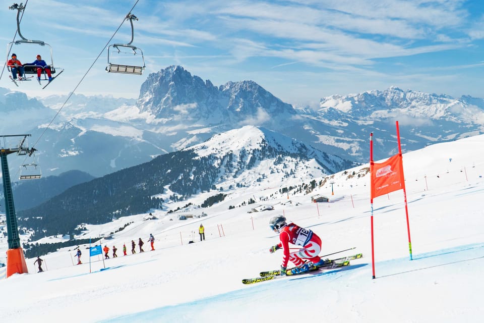
Kitzbühel became the eighth Austrian ski area to open for the season last Friday, and the first non-glacier ski area to open in the country. As in previous autumns in recent years, the resort's KitzSki lift company opened a few kilometres of terrain on some of the resort's highest slopes at Resterkogel, using snow farming — snow piled up last spring, stockpiled under cover through summer, then spread back out on the slopes in the autumn as things cool, to open a run. The resort has also had some natural snowfall in late October. Racing teams had used the slopes midweek for training, but there was public access at the weekends.
In terms of the seven open glacier areas, Sölden (0/23 cm / 0/9”) continues to report the most terrain open in the world right now, adding about 20% more than a week ago, now up to 39 km (25 miles) of runs available, above a quarter of its whole terrain, but its base depth has dropped. Hintertux (0/65 cm / 0/26”) has increased its available terrain to more than Sölden was offering a week ago, up to 34 km (21 miles) there. The Stubai (10/45 cm / 4/18") is also at over 30 km, on 31 km (20 miles), so those three are not only offering the most terrain in Austria, but the whole world, at present. The Kitzsteinhorn (0/90 cm / 0/36”) and Molltal (0/90 cm / 0/36”) glaciers have the deepest snow, if not the most terrain open. The Pitztal (15/75 cm / 6/30”) and Kaunertal (10/60 cm / 4/24”) also remain open.
Austria Forecast
The Austrian Alps are expected to remain mostly dry and mild for the next few days, with no significant snowfall expected until the weekend, when a temperature drop and some moderate accumulations (10–20 cm / 4–8” total above 2500 m) are likely. A mix of sunshine and light cloud cover is expected, with daytime temperatures around +8–11 °C and overnight lows near freezing. The snowline remains above 2500 m until Friday, with a likely shift to more unsettled conditions from this weekend.
France Snow Report and Forecast
We’re now less than a week away from the start of the French ski season. Unfortunately, after the wintry weather at the end of October, it hasn’t been the best pre-season week in the Alps, with daytime highs climbing back above freezing even up at 3,000 m and reaching +10 °C at 2,000 m. It has, however, still mostly been dropping below freezing overnight, and snowmaking has continued to operate most evenings at the centres, with the centres expecting to open from the 22nd — Tignes and Val Thorens.
France Forecast
The French Alps above will experience continued dry, settled weather, with mild temperatures, no fresh snowfall, and mostly sunny skies with occasional cloud cover. Daytime temperatures will hover around +8–11 °C with overnight lows near freezing above 1500 m. Winds will be light, and visibility will be excellent across most regions. No new snow is forecast until early next week, when temperatures are also forecast to drop well below freezing. Until then the snowline remains well above 2500 m.
Italy Snow Report and Forecast
With the Passo Stelvio summer ski area now closed, there are two centres open in Italy at present — Sulden (20/40 cm / 8/16”) in the Ortler Alps and the Val Senales Glacier (0/30 cm / 0/12”). Access to Zermatt’s (0/150 cm / 0/60”) glacier ski area from Breuil-Cervinia is also operational. The weather in the Italian Alps and Dolomites has been mostly dry and sunny over the past week, through mid-November, with colder nights and a potential shift to wetter conditions later next week, with daytime highs reaching +10–12 °C at 2000 m but dropping to –2 to 0 °C at night, making snowmaking viable at higher altitudes.
Italy Forecast
Italian mountains are expected to remain dry and mostly sunny, with mild daytime temperatures around +10–12 °C and cooler nights near freezing. Winds will be light, and visibility excellent. No major snowfall is forecast, and the snowline will stay well above 2500 m. A slight increase in cloud cover is expected by Saturday, hinting at a possible shift in weather patterns from 16 November onwards, when precipitation chances begin to rise. The freezing point should drop below 1500 m by the start of next week and 2–10 cm (1–4”) snowfall accumulations are expected daily.
Switzerland Snow Report and Forecast
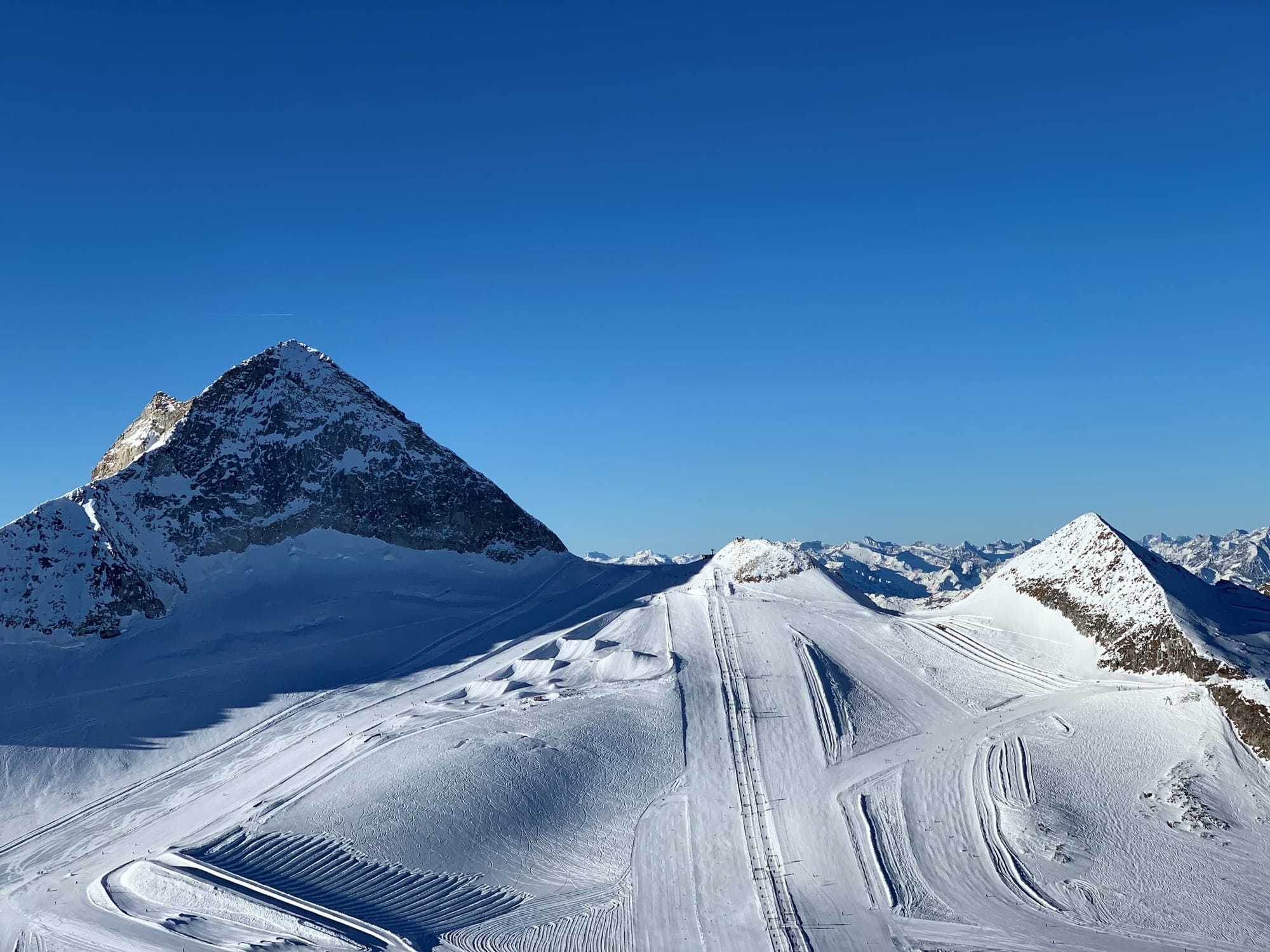
Switzerland has jumped to ten centres open, the most of any country in the world right now, after three more Swiss resorts started their lifts spinning at the weekend. Most are currently operating at weekends only, with just two — Zermatt (0/150 cm / 0/60”) with 25 km (16 miles) of slopes open, and Saas-Fee (0/175 cm / 90/70") with the country’s deepest snowpack up top — open daily at this point.
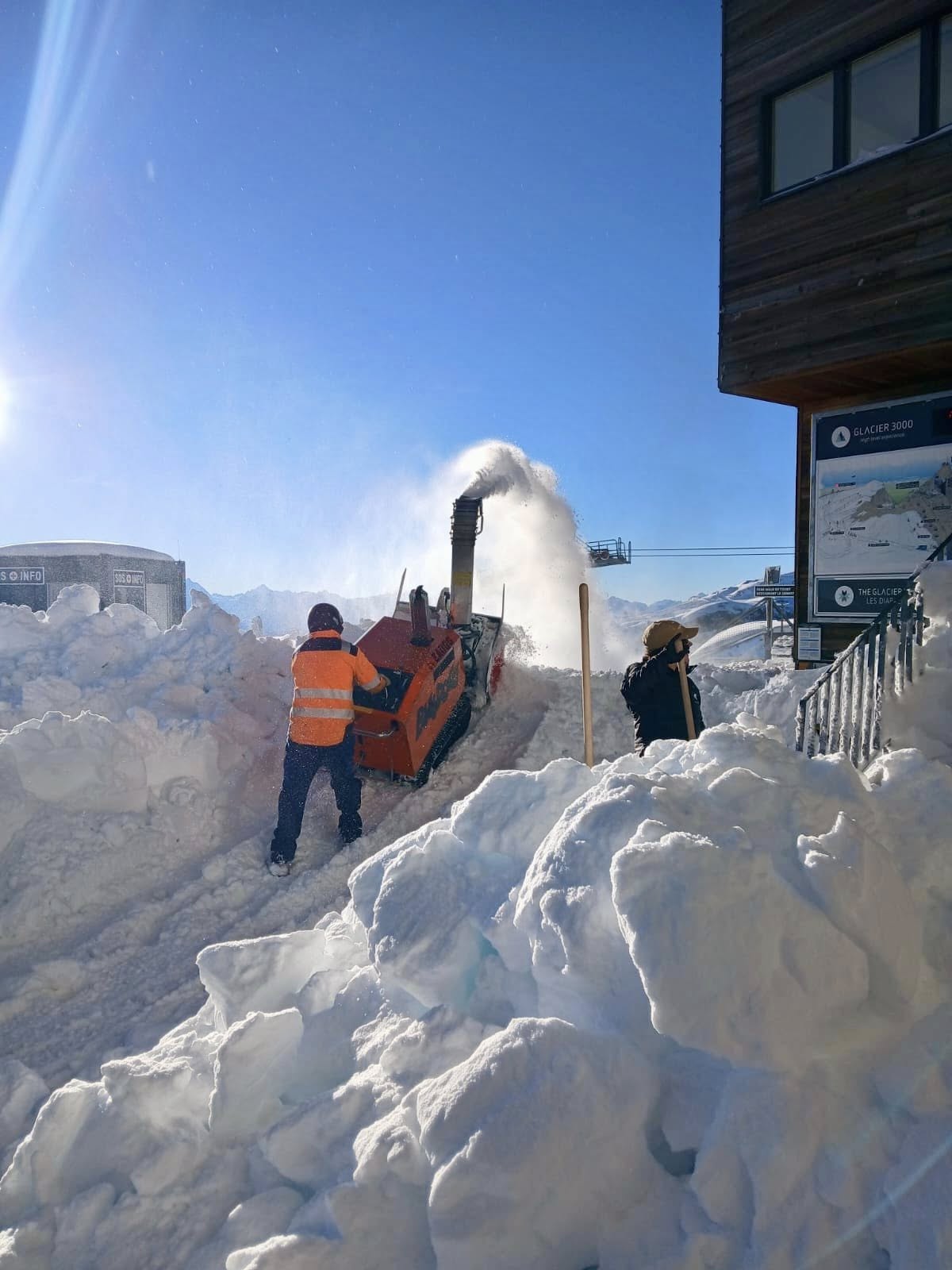
The new additions are Gstaad’s Glacier 3000 (0/30 cm / 0/12”), Arosa and Davos (2/26 cm / 1/10”), the latter opening a week ahead of schedule. The iconic Parsenn ski area above Davos turned its lifts on last Friday, 7 November 2025 — a full week earlier than planned. Thanks to the late-October cold snap and early snowfall, the resort seized the opportunity with sections 1 and 2 of the Parsenn funicular and the Totalp chairlift opening, offering access to well-prepared pistes. Glacier 3000 opened its Red Scex, Dome and Tzanfleuron runs along with two snowparks.Adelboden (0/20 cm / 0/8”) still has a short run open and there’s weekend access to limited terrain at Verbier (0/40 cm / 0/16”), the Diavolezza glacier near St Moritz, a snow-armed slope above Murren (0/25 cm / 0/10”) and Engelberg (0/130 cm / 0/52”). Andermatt will open this weekend.
Switzerland Forecast
The Swiss Alps will also see dry, settled weather with mild temperatures and no new snowfall expected for the remainder of this week. Daytime highs at 1500 m will reach around +8–10 °C, with overnight lows at freezing, colder at higher elevations, but the snowline remains well above 2500 m. More unsettled conditions with colder temperatures are expected to end the week, with temperatures dropping back to –15 °C and light to moderate snowfall daily above 2000 m from Saturday.
Scandinavia Snow Report and Forecast
Scandinavian ski resorts saw early-season snow and cold conditions, with four centres currently open, each with 2–3 km (1–2 miles) of slopes, three of them thanks to snow farming. In Finland, Levi (0/20 cm / 0/8”) recorded 7 cm (3”) of new snow across the period, with temperatures ranging from –4 °C to +1 °C, and artificial snow supporting limited piste openings. Ruka (0/20 cm / 0/8”) saw a dusting of snow over the weekend, followed by dry, freezing conditions and light winds. Norway’s Galdhøpiggen glacier summer ski area (20/50 cm / 8/20”) is in its final week of the 2025 season and has continued to see consistent sub-zero temperatures and strong winds. Sweden’s Kabdalis (30/40 cm / 12/16”) remained cold and foggy, with light snow showers and lows near –4 °C, but no significant new accumulation.
Scandinavia Forecast
Scandinavian ski regions will remain cold and mostly dry, with patchy snow cover and light snowfall in parts of Finland. Ruka and Levi will see temperatures between –3 °C and –8 °C, and up to 5–8 cm (2–3”) of fresh snowfall is expected over the next few days. Galdhøpiggen in Norway will stay below freezing around the clock, and Kabdalis faces deep cold and fog, with some very low temperatures but no fresh snowfall forecast.