Europe New Year's Eve Snow Roundup #295
Weekly Snow News for Europe, updated 31 December 2025: much of the Alps stay dry and cold, while snowfall boosts the Pyrenees, parts of southern Europe, and Scandinavia.
- Dry December continues across Austrian ski regions
- High terrain openings expand for the peak holiday period
- Snowmaking maintains piste quality despite thin cover
European Snow Overview and Ski Conditions
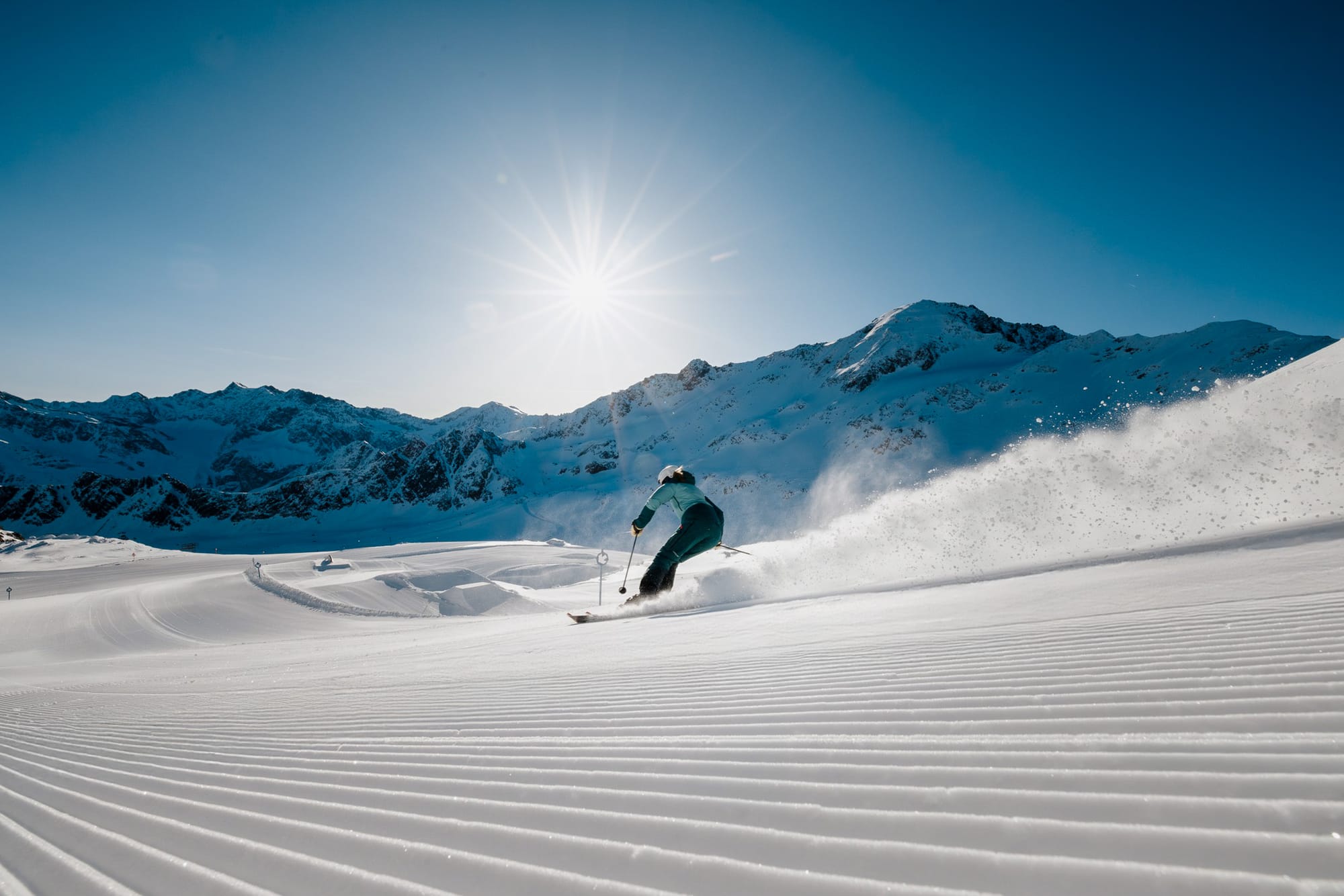
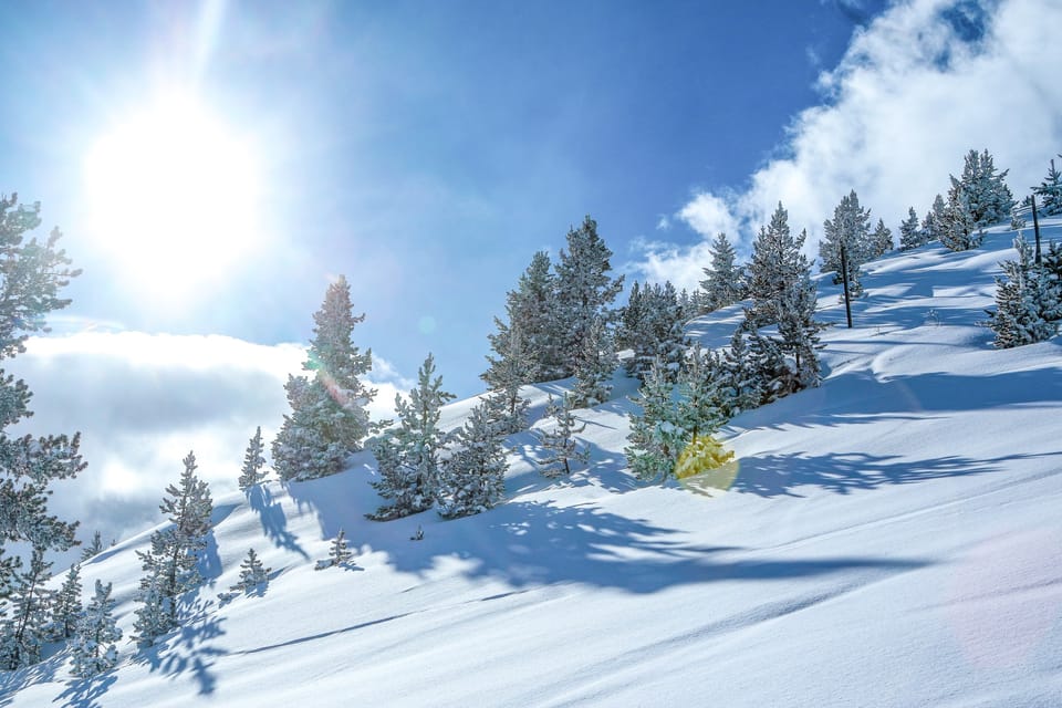
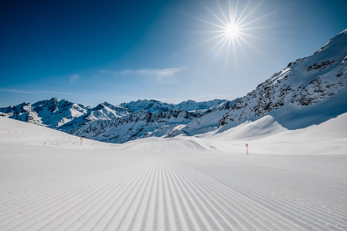
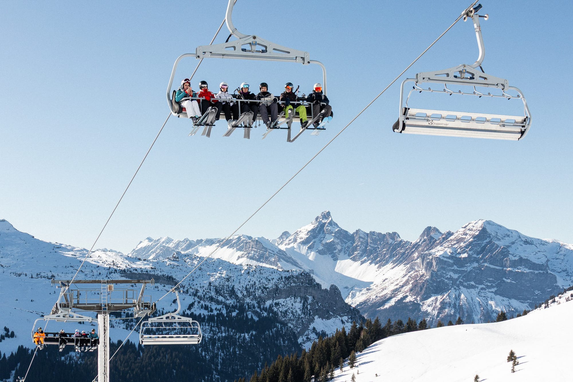
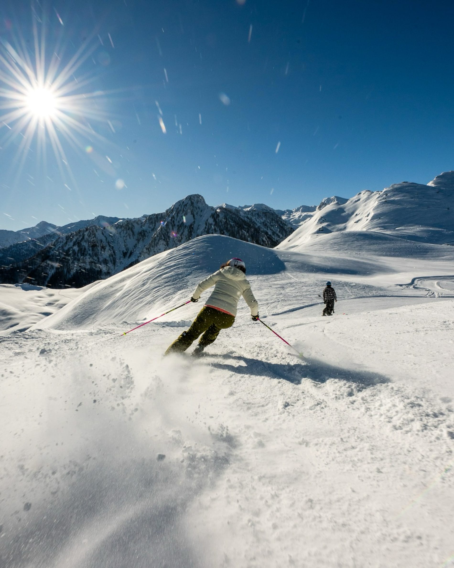
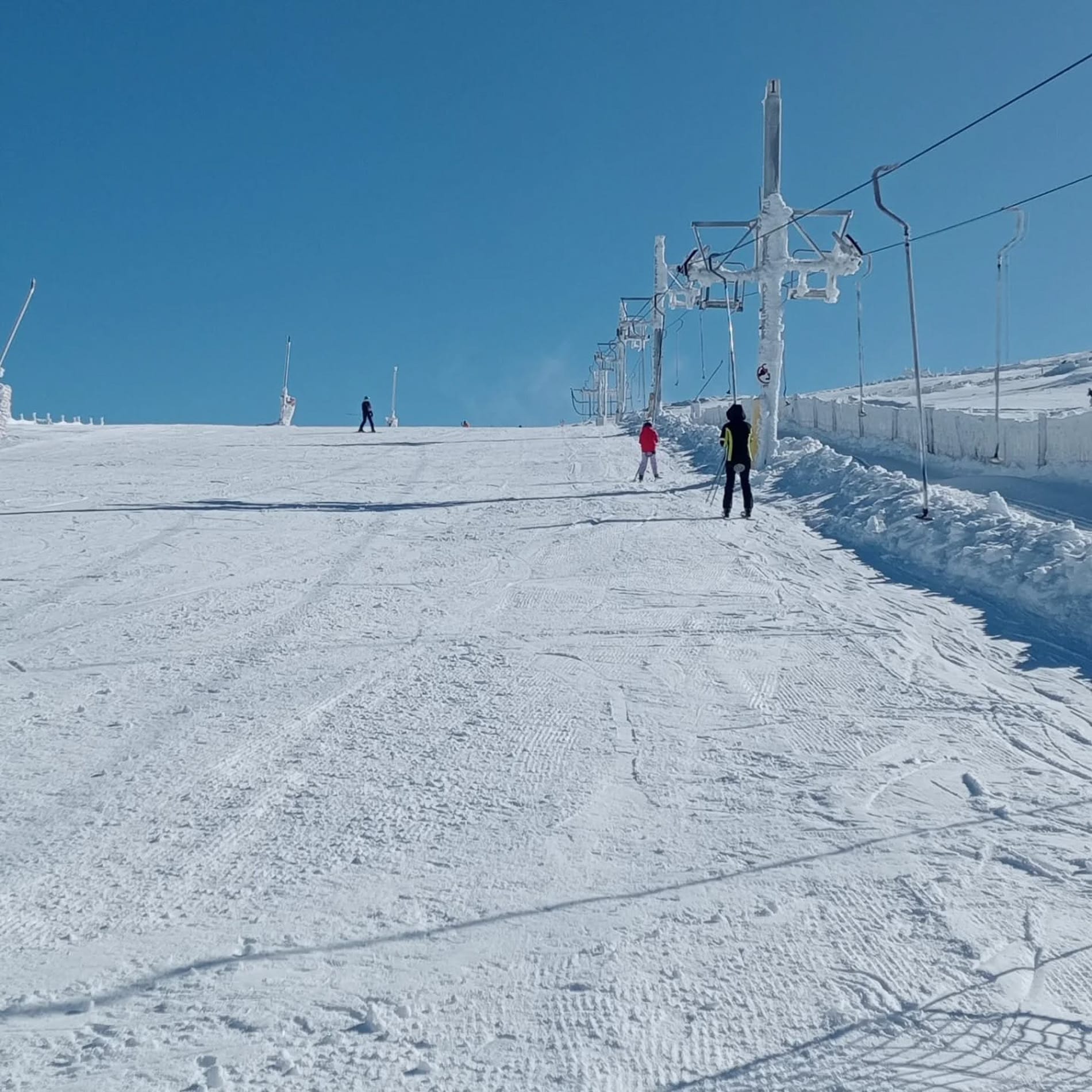
We’ve had another predominantly dry week in the Alps, with some areas now having gone over a month without fresh snowfall; for many others, it was early December. So bases remain well below average, and many lower-lying ski slopes below 1800m don't have snow on them. That said, most of the continent's bigger, better-known ski areas have still managed to open 70-90% of their groomed runs, and in many cases have added to their total skiable areas for the current peak holiday fortnight, even as their thin snowpacks slowly diminish, seemingly the result of years of planning for exactly this kind of scenario.
Plus, it has been cold at altitude, slowing any thaw and often enabling snowmaking. The result is that conditions on piste are still good in most areas, but off piste, there's little or no fresh snow to be found. That could change this weekend, with forecasts pointing to 10-60cm accumulations across the Alps.
The main exceptions are the Pyrenees and the south-western corner of the Alps, as well as the southern fringes of Europe, such as the Balkans, which have all seen snow and, in some cases, have a higher avalanche danger level. A storm has also blown through Scandinavia, bringing heavy snowfall to parts of the north.
Austria Snow Report and Ski Conditions 2025/26
There’s a bit of déjà vu for the fourth straight week in Austrian snow depths and weather. The entire month of December has now been almost constantly dry and sunny, with little change in snow depths compared with a week ago or a month ago. What has changed is the amount of open terrain, as most areas have opened more runs for the peak holiday fortnight.
Some, like Sölden (15/42cm / 6/17"), are benefiting from years of planning for a less-natural-snow scenario and now have almost every run open (over 99% of their slopes) despite thin cover. Ischgl, though, continues to post the most terrain open in Austria despite three areas being bigger.
They haven't been able to open so much of their terrain, though, with the Arlberg and Saalbach Hinterglemm both still only about half open.
Austria Forecast
The weather will remain cold and mostly settled, with clear, crisp mountain conditions and temperatures ranging from about -4°C to -13°C at altitude in the Austrian Alps. Thursday turns slightly milder, with highs near -1°C to -9°C and light snowfall possible in some areas. There will be some light to moderate snowfall, initially just a few centimetres for most areas, but hopefully bolstering and refreshing cover. The end of the week looks calm and dry, remaining cold but stable. By Saturday, temperatures rise noticeably, reaching around 5°C at mid-mountain in some regions, with largely dry, bright conditions expected.
- Cold conditions support snowmaking across French Alps
- Limited natural snowfall through December persists
- Major ski domains are largely operational
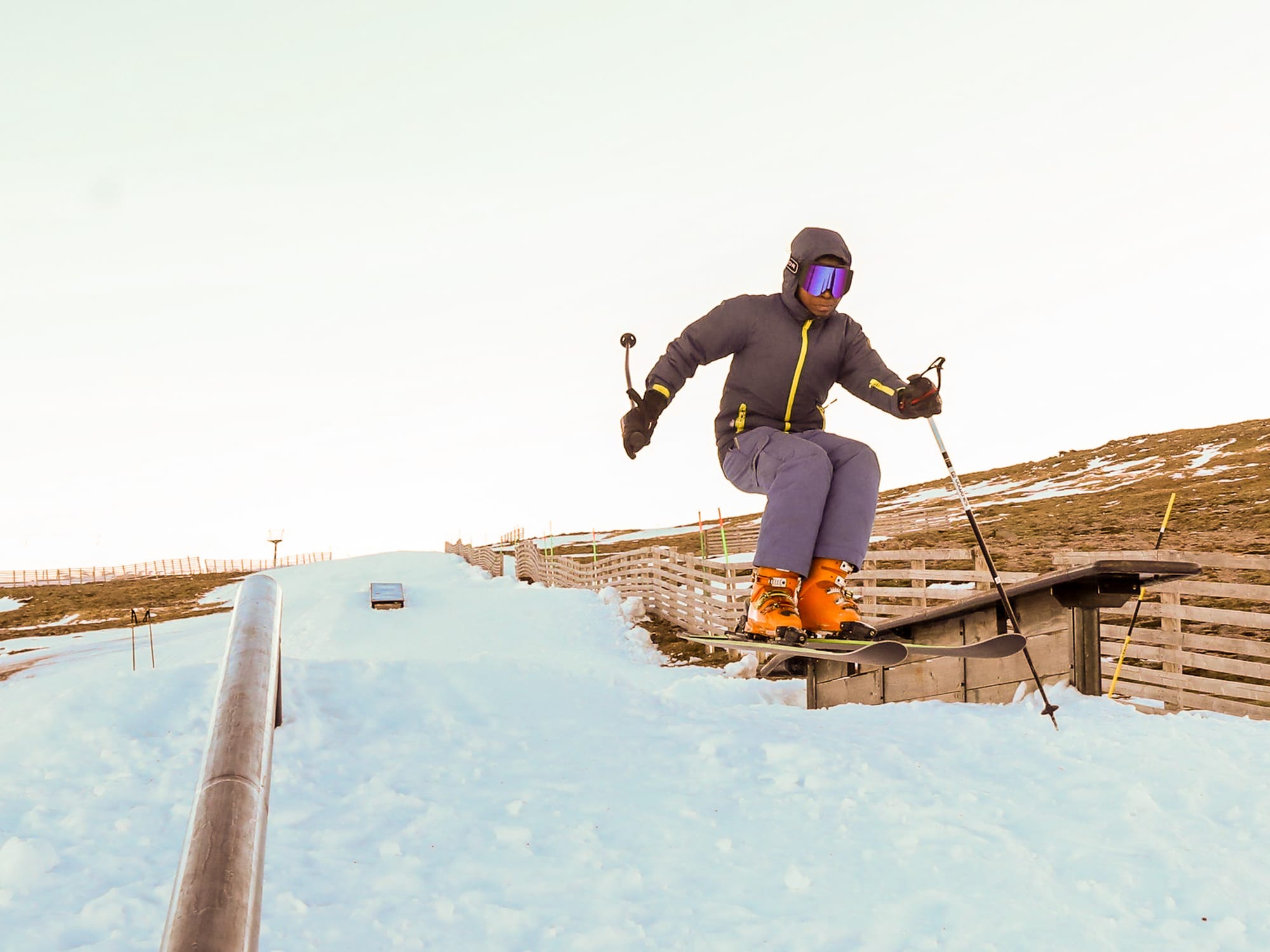
France Snow Report and Ski Conditions 2025/26
Conditions across the French Alps remain broadly unchanged. Much of the region has seen an almost snow‑free December, with only light falls, generally 5–20cm (2-8”), skimming the southern mountains. The main exception was Isola 2000 near Nice, which recorded close to 50cm (20”).
Despite the ongoing dryness, consistently cold temperatures, often staying below freezing above 1,800m, have supported extensive snowmaking. As a result, most major resorts are still offering 70–90% of their groomed terrain. The 3 Valleys currently has around two‑thirds of its huge ski area open, broadly in line with other leading French domains.
Vars | 29th December
France Forecast
Not much change in the immediate forecast, but cold, wintry conditions remain settled over the French Alps. Wednesday brings sub-zero temperatures at altitude, with mostly dry, cloudy conditions. Thursday stays cold, with light snow flurries possible in the northern Alps. Friday turns sharper and clearer but remains well below freezing at altitude. By Saturday, temperatures will lift slightly at lower elevations, and it currently looks like a front should move through, bringing a decent 20-50 cm dump across many areas over the weekend. The upper-mountain highs stay well below freezing.
Italy Snow Report and Ski Conditions 2025/26
Italian resorts were virtually the only ones to record any increase in snow depths this week, aside from a few pockets in southern France and Switzerland. A south-west-driven front brought mostly 10–20cm, so cover remains generally thin. The real outlier was again Piedmont, where the pre-Christmas storm delivered an extraordinary 1.5m of snow in just over 24 hours at Prato Nevoso, a genuinely rare event.
The Via Lattea (Milky Way) around Sestriere and Sauze d’Oulx, which crosses the border into France at Montgenevre, is now roughly half open, with about 200km of pistes, putting it ahead of Val Gardena for the moment. However, the largest continuous skiable area remains the Cervinia–Zermatt link.
Italy Forecast
Cold, settled weather continues to dominate the Italian Alps and Dolomites. Conditions remain mostly dry, with upper-mountain temperatures ranging from about -7°C to -11 °C. It stays cold, with highs around -1°C at altitude and only light, isolated flurries in the north, which get heavier through the latter half of the week. The end of the week remains stable and wintry, with bright spells and sub-zero temperatures from valley to summit.
Switzerland Snow Report and Ski Conditions 2025/26
- South-west Switzerland sees light snowfall
- Many smaller resorts remain closed
- High-altitude terrain dominates openings
Although much of Switzerland had a further straight, mostly cold and sunny week, like the rest of the Alps, ski areas in the country’s south-western corner, along the Italian border, caught a little of the snowfall that reached the region late last week.
Saas Fee (20/180cm / 8/72”) and Zermatt (15/85cm / 6/34”) each picked up 10-25cm (4-10”) of fresh snow. Most of the country stayed dry, and overall, only about half of Switzerland's ski runs are open, although about two-thirds of those are at the higher, bigger ski areas.
The majority of ski areas are suffering from too little snow, as usual, and the smaller, lower resorts, a chunk of which remain closed. Glacier 3000 (170/380cm / 68/152”) near Gstaad continues to post the world’s deepest base. Zermatt-Cervinia’s cross-border ski area has the most terrain open, about 240km (150 miles) of runs.
Switzerland Forecast
A cold, settled week ahead across the Swiss Alps, with mostly dry mountain weather, as in much of December. Temperatures will be around -8°C to -12°C on higher slopes, with light winds through the latter half of this week. The weekend should see a change, with a front bringing 10-30 cm (4-12”) of snowfall and variable cloud, with generally light winds.
Pyrenees Snow Report and Ski Conditions 2025/26
- Fresh snowfall boosts Pyrenees coverage
- Avalanche risk elevated after recent storms
- Major domains nearing full operation
Things are looking good in the Pyrenees, with the area recording the most snowfall in mainland Europe over the past week. Most ski areas are now close to fully open, and it's one of the few areas in Europe where you can currently ski on fresh snow.
Unfortunately, the fresh cover also means the avalanche danger level is higher. Andorra’s Giant Grandvalira (60/90cm / 24/36”) has jumped to around 90% of its slopes open – 190km (120 miles), overtaking Spain’s Baqueira Beret (40/80cm / 16/32"), which has increased its open areas to 160km (100 miles) of runs.
Pyrenees Forecast
The Pyrenees are set for a cold, mostly settled spell for the rest of this week. Temperatures at altitude hover between –7°C and –15°C, keeping the freezing level very low and ensuring existing snow remains firm and dry. Little to no new snowfall is expected through the end of the week, with only the odd light flurry in places. Winds remain generally light, often below 3–4 m/s, so conditions on the slopes should feel calm and stable.
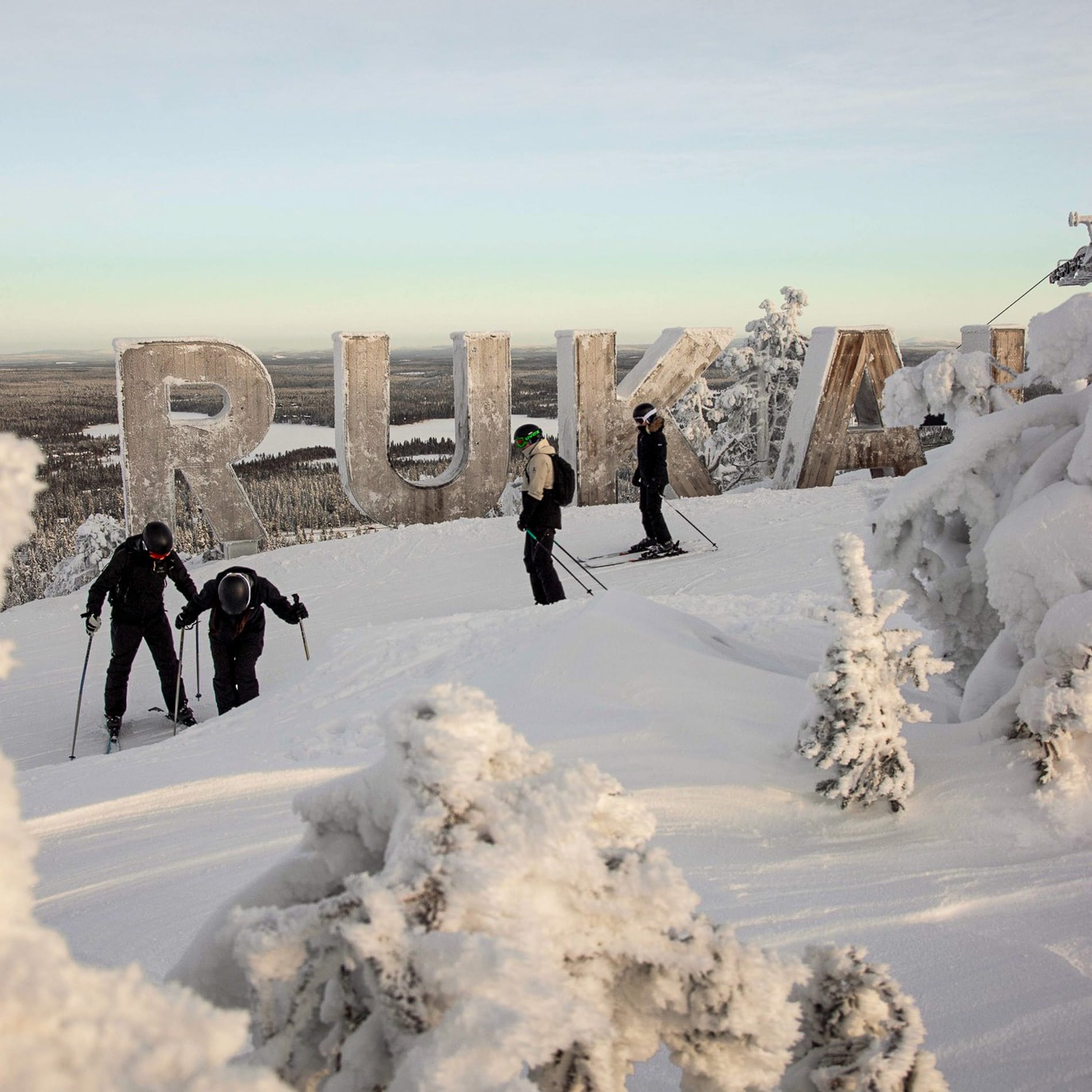
Scandinavia Snow Report and Ski Conditions 2025/26
- Storm delivers fresh snow to northern Scandinavia
- Floodlit skiing continues in polar night
- Terrain openings remain limited but improving
Some low temperatures and a snowstorm have been blowing through Scandinavia over the past week, helping build on the thin base most centres are still posting.
Sweden’s Åre (26/39cm / 10/16”) has the most terrain open, with up to 50% of its slopes open now, about 45km (28 miles) of runs. Norway’s Gaustablikk (80/100cm / 36/40”) has the deepest snow.
We’re still in the darkest period of winter, with the sun still below the horizon at ski areas in Lapland, so most open runs are currently floodlit at Scandi ski areas.
Scandinavia Forecast
Scandinavian ski areas should remain in full wintry mode through the first few days of 2026, with widespread sub-zero temperatures and generally calm conditions. Norway’s mountains should see temperatures between –5°C and –12°C, dropping below –15°C at times, with only light snow flurries and moderate winds. Sweden’s high terrain follows a similar pattern: cold, mostly dry, and breezy on exposed ridges, but manageable on the pistes. Finland is the coldest, with Lapland’s ski slopes frequently between –10°C and –20°C, keeping snow conditions dry and grippy across the region.
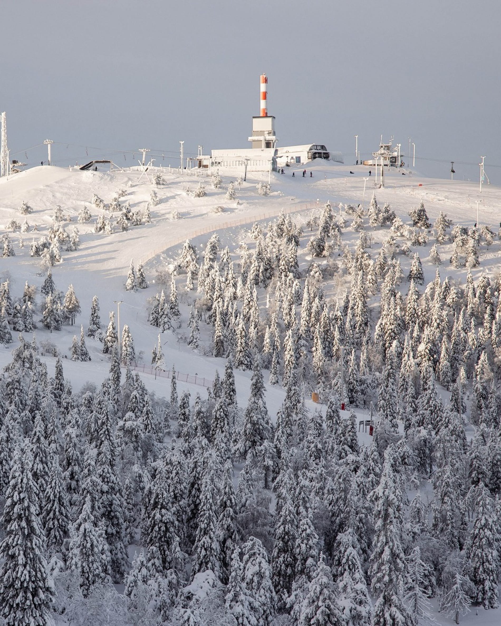
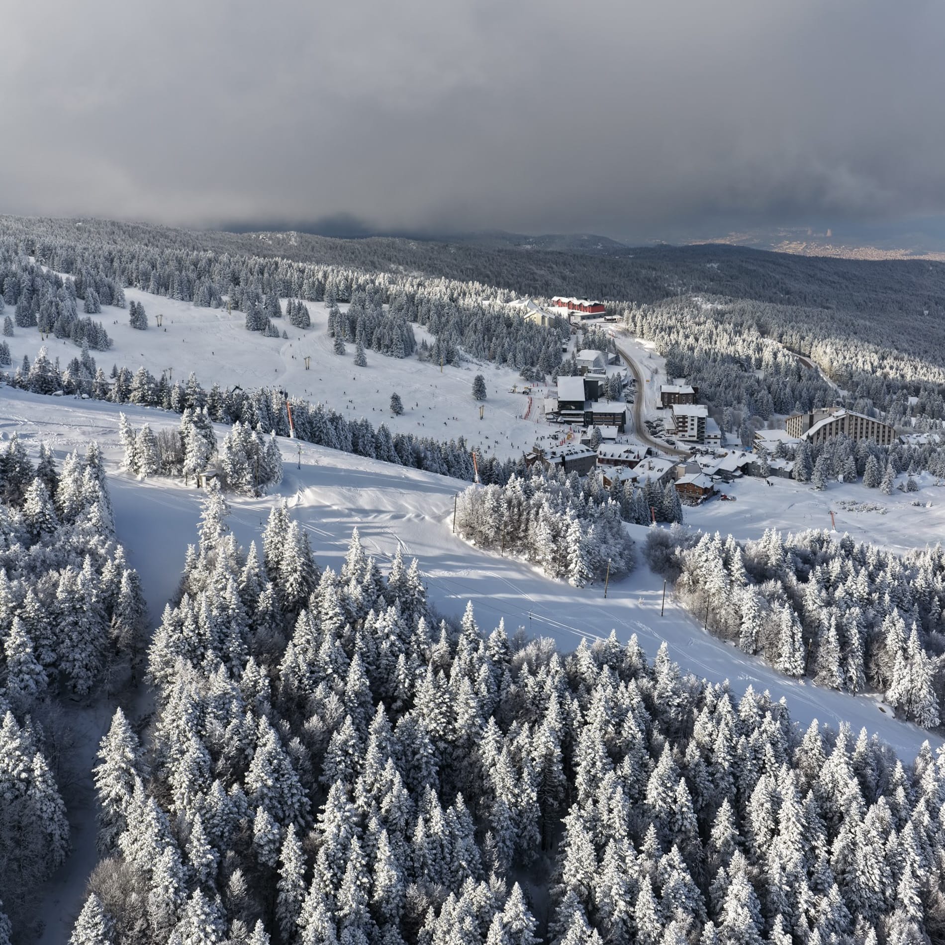
Eastern Europe Snow Report and Ski Conditions 2025/26
- Southern snowfall aids Balkan ski openings
- Snowmaking resumes under cold conditions
- Terrain availability varies widely
Some snowfall in more southerly areas of Eastern Europe has allowed Bulgaria’s Borovets (0/309cm / 0/12”) to finally open for the season just after Christmas, albeit with very limited terrain.
Bansko (3/100cm / 1/40”) has jumped from 10% to 60% of its slopes open just in time for the peak New Year week. It has also overtaken Slovakia's Jasna (30/60vm / 12/24"), which has had another largely dry week and reports about 60% of its terrain open still.
Eastern Europe Forecast
We’re back to predominantly sunny weather in the south of the region after the Christmas snowfalls, but it is cold, so more snowmaking can take place, with highs around freezing and lows down to -15c. Even colder and more unsettled further north, with temperatures dropping below -20C overnight and light snowfall forecast.
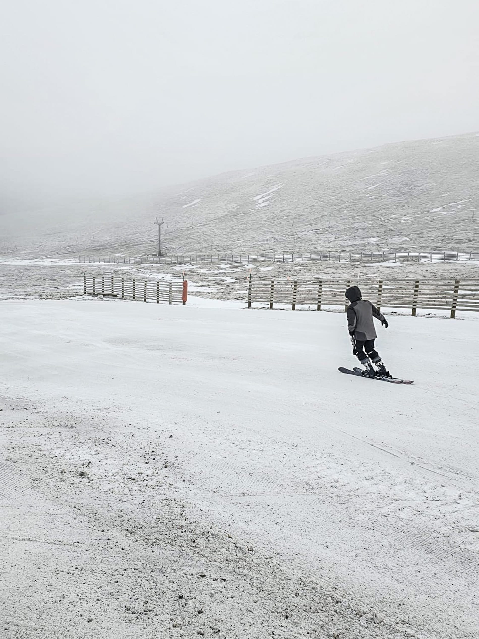
Scotland Snow Report and Ski Conditions 2025/26
- Scottish centres reopen limited terrain
- All operations rely on snowmaking
- Colder weather supports gradual improvements
After its short-lived start in late November/early December, Scotland’s 25-26 ski season has revived over Christmas week, with the four centres offering snowsports, though all rely on all-weather snowmaking. Each has limited snow sports, mostly suited to beginners.
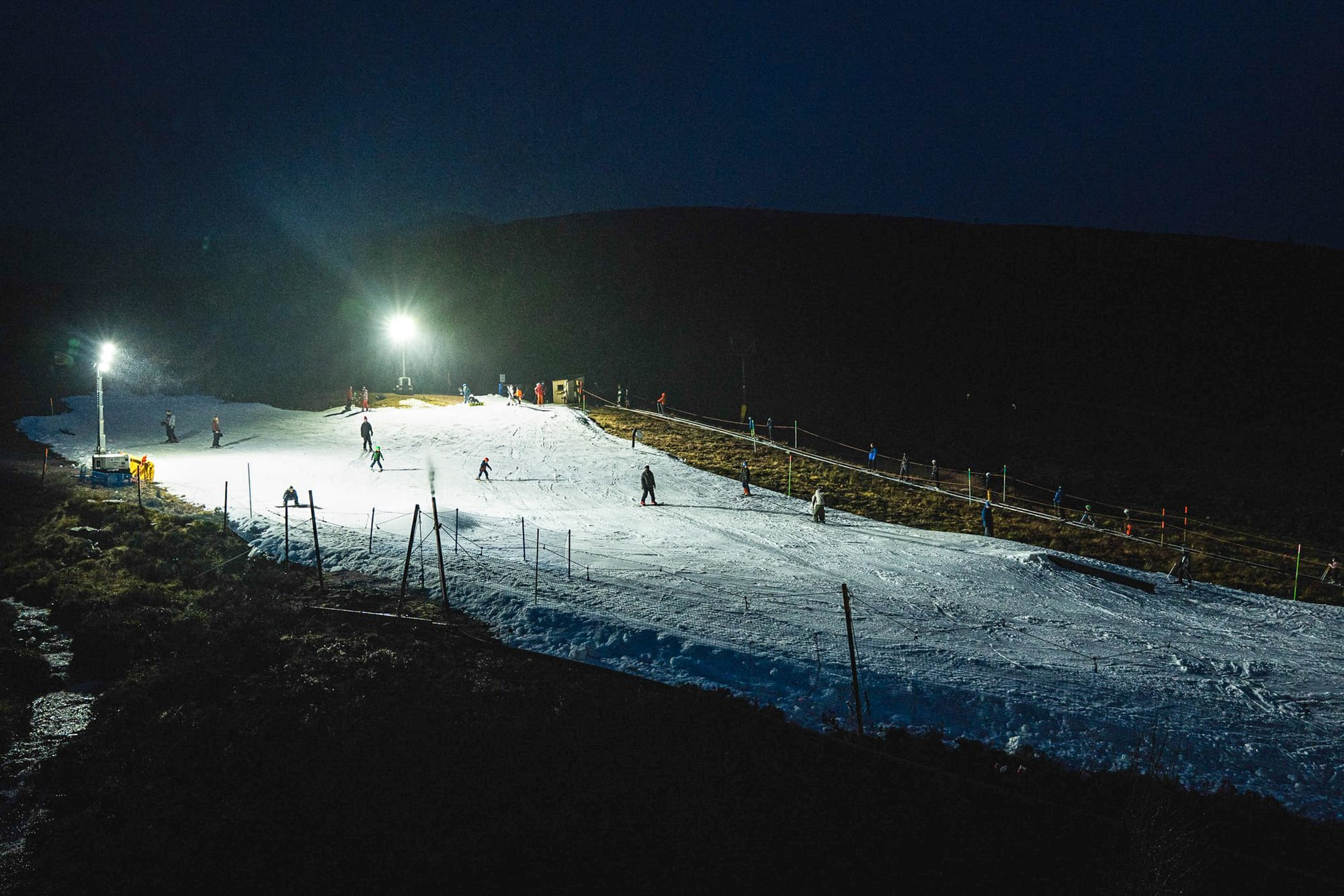
Colder, more settled festive conditions have allowed Glenshee, Cairngorm and The Lecht to open or reopen small snow areas. Glencoe has also prepared a short snow slope, but is currently offering only sledging on it.
As well as two areas of beginner terrain, Cairngorm has a short freestyle line and floodlit afternoon sessions, while Glenshee and The Lecht each have beginner areas open. Nevis Range, without all-weather snowmaking, remains closed.
Scotland Forecast
The Highlands should see still colder, more wintry weather through the rest of the week. Summit temperatures across Cairngorm, Glenshee and Nevis Range are mostly between –4°C and –10°C, with bases around –1°C to –5°c. Light snow showers are expected at times, particularly midweek, hopefully helping to rebuild bases, especially on higher slopes. Winds vary from moderate to occasionally strong over exposed ridges, especially around the western ranges. Overall, it looks like it should be a colder, more promising spell for maintaining and gradually improving cover across Scotland’s main ski areas.