
Alps Glaciers Closing Fast as 5,000m Freezing Point Triggers Rapid Melt
Updated July 2, 2025: Europe’s glaciers closing fast, Alps hit 5,200m freezing point, and U.S. snowfields shrink in 100°F heat—click for full summer snow update.
By using Snow-Forecast, you agree to our Terms & Services.
Don't have an account? Join now
Alternatively, you can now use your Outside account to sign in to any brand in the Outside digital ecosystem, including Snow-Forecast, Surf-Forecast, and Mountain-Forecast.


Nevis Range Weather (Next 3 days): The snow forecast for Nevis Range is: Heavy rain (total 57.0mm), heaviest during Thu night. Very mild (max 11°C on Fri afternoon, min 5°C on Wed night). Winds increasing (light winds from the W on Wed night, fresh winds from the SW by Fri morning).
Nevis Range Weather (Days 4-6): Moderate rain (total 12.0mm), heaviest on Sat night. Very mild (max 14°C on Tue afternoon, min 7°C on Sun night). Wind will be generally light.
| Resort | Snow Depth | Temp. (°C) | Wind (km/h) | Weather | ||
|---|---|---|---|---|---|---|
| Top Lift: | 0.0 m | 2 | ||||
| Middle Lift: | 5 | |||||
| Bottom Lift: | 0.0 m | 8 |
Latest snow reports near Nevis Range:

Thursday 3 | Friday 4 | Saturday 5 | Sunday 6 | Monday 7 | Tuesday 8 | ||||||||||||||
night | AM | PM | night | AM | PM | night | AM | PM | night | AM | PM | night | AM | PM | night | AM | PM | night | |
rain shwrs | mod. rain | rain shwrs | mod. rain | mod. rain | mod. rain | mod. rain | light rain | light rain | light rain | light rain | light rain | light rain | light rain | cloudy | clear | clear | some clouds | some clouds | |
km/h | |||||||||||||||||||
Snow map | 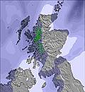 |  | 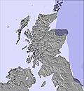 | 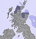 | 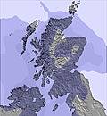 | 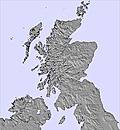 |  | ||||||||||||
— | — | — | — | — | — | — | — | — | — | — | — | — | — | — | — | — | — | — | |
1 | 7 | 7 | 10 | 8 | 9 | 7 | 4 | 4 | 5 | 2 | 2 | 2 | 1 | — | — | — | — | — | |
max°C | 7 | 8 | 9 | 8 | 9 | 11 | 11 | 10 | 9 | 9 | 9 | 9 | 8 | 10 | 12 | 10 | 13 | 14 | 11 |
min°C | 5 | 7 | 8 | 8 | 8 | 10 | 9 | 9 | 9 | 8 | 9 | 8 | 7 | 9 | 11 | 8 | 11 | 14 | 9 |
2 | 4 | 5 | 5 | 4 | 6 | 5 | 5 | 5 | 5 | 6 | 5 | 4 | 7 | 9 | 6 | 10 | 13 | 7 | |
88 | 98 | 99 | 98 | 97 | 98 | 99 | 99 | 97 | 99 | 97 | 94 | 98 | 83 | 73 | 82 | 59 | 55 | 90 | |
1650 | 2050 | 2100 | 2250 | 2700 | 3300 | 2700 | 2500 | 2600 | 2100 | 2250 | 2250 | 2000 | 2200 | 2450 | 2650 | 3100 | 3300 | 3300 | |
— | 4:33 | — | — | 4:33 | — | — | 4:35 | — | — | 4:35 | — | — | 4:37 | — | — | 4:37 | — | — | |
— | — | — | 10:14 | — | — | 10:13 | — | — | 10:13 | — | — | 10:12 | — | — | 10:10 | — | — | 10:09 | |
Heavy rain (total 57.0mm), heaviest during Thu night. Very mild (max 11°C on Fri afternoon, min 5°C on Wed night). Winds increasing (light winds from the W on Wed night, fresh winds from the SW by Fri morning).
Moderate rain (total 12.0mm), heaviest on Sat night. Very mild (max 14°C on Tue afternoon, min 7°C on Sun night). Wind will be generally light.
Latest snow reports near Nevis Range:
| Top snow depth: | 0 cm |
|---|---|
| Bottom snow depth: | 0 cm |
| Fresh snowfall depth: | — |
| Last snowfall: | 3 Jun 2025 |
| Snow Alerts | Create Alert |
0.0 | Bluebird Powder days Fresh snow, mostly sunny, light wind. |
|---|---|
0.0 | Powder days Fresh snow, limited sun, any wind. |
0.0 | Bluebird days Average snow, mostly sunny, light wind. |
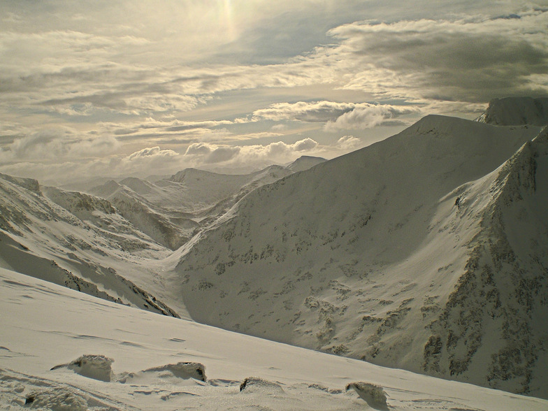
The above table gives the weather forecast for Nevis Range at the specific elevation of 656 m. Our sophisticated weather models allow us to provide snow forecasts for the top, middle and bottom ski stations of Nevis Range. To access the weather forecasts for the other elevations, use the tab navigation above the table. For a wider view of the weather, check out the Weather Map of United Kingdom.
Click here to read further information on freezing levels and how we forecast our temperatures.
Overall 3.1 Based on 14 votes and 14 reviews
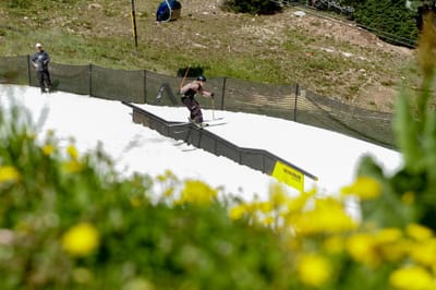
Had a great time on Wednesday 25 February 2015; a mountain full of snow with plenty to go at. Great hire board and boots (new this season) and great food on the slopes. Wish we could have stayed longer. Will be back; would like to explore the back areas when it is safe to do so.
Ian chick from United Kingdom writes:
Had a great time on Wednesday 25 February 2015; a mountain full of snow with plenty to go at. Great hire board and boots (new this season) and great food on the slopes. Wish we could have stayed longer. Will be back; would like to explore the back areas when it is safe to do so.
The Nevis Range skiing weather widget is available to embed on external websites free of charge. It provides a daily summary of our Nevis Range snow forecast and current weather conditions. Simply go to the feed configuration page and follow the 3 simple steps to grab the custom html code snippet and paste it into your own site. You can choose the snow forecast elevation (summit, mid-mountain or bottom lift) and metric/imperial units for the snow forecast feed to suit your own website…. Click here to get the code.
View detailed snow forecast for Nevis Range at:
snow-forecast.com


 Nearest