Big Snow and Strong Winds hit New Zealand’s Ski Areas
The long awaited full start to winter 2019 seems to be well and truly underway in New Zealand as a series of fronts from the Antarctic slam in to the country.
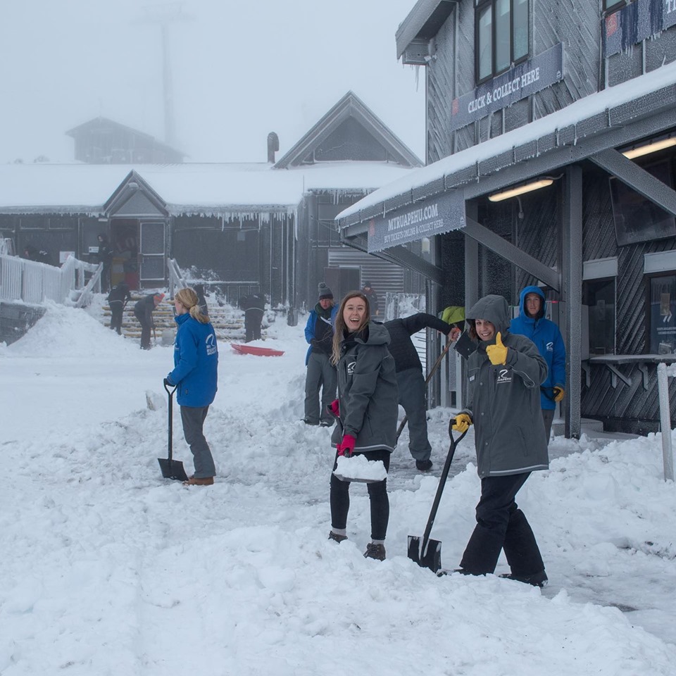
The weather fronts are bringing heavy snow but are being driven in on strong to gale force winds, both of which are causing ski areas to shut up shop for a period whilst snow is cleared and winds ease to safer levels.
Snow depths in the country had been lagging behind ski areas in South America and even in some cases the Andes but have now shot up with Managanui reporting a metre of snow at base level and snow levels now three metres deep at the top – that’s the deepest in the southern hemisphere and makes it the first area to reach a three metre (10 foot) base depth this season south of the equator.
The news isn’t all good for snowfall though. After lots of fresh snow Manganui was closed today as things started to warm up and rain started to fall on top of the fresh snow.
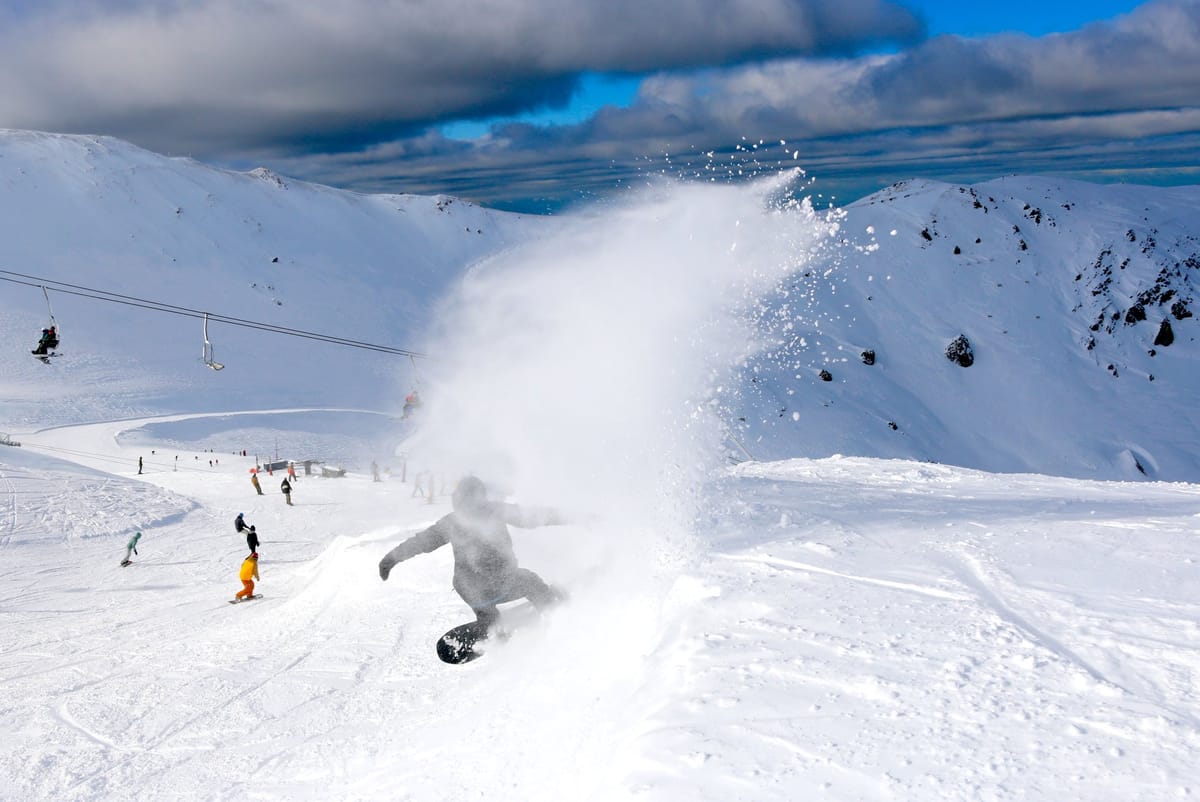
But for some the worst of the snowfall is already past and The Remarkables reported its slopes were full as people arrived to enjoy the powder.
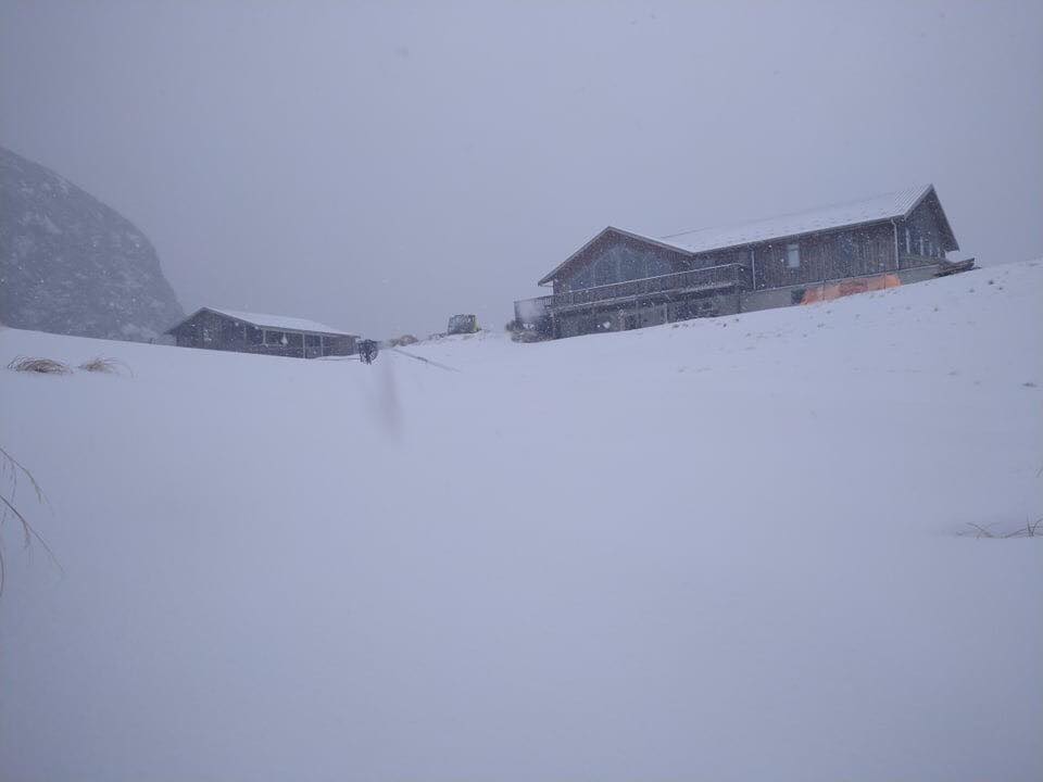
Of the bigger commercial ski fields Whakapapa on Mt Ruapehu (pictured below) reports a 191cm upper slope base depth and has had the most snow in the past 72 hours at 68cm. Most other areas have reported 30-60cm.
The snowfall is expected to continue for the next few days making it likely that some areas will receive more than a metre of snowfall in a week – much more than most had had all season to date.
More snowfall is expected through next week, but much lighter, so a return to more normal conditions is on the way, but now with plenty of fresh snow and temperatures remaining sub-zero.


