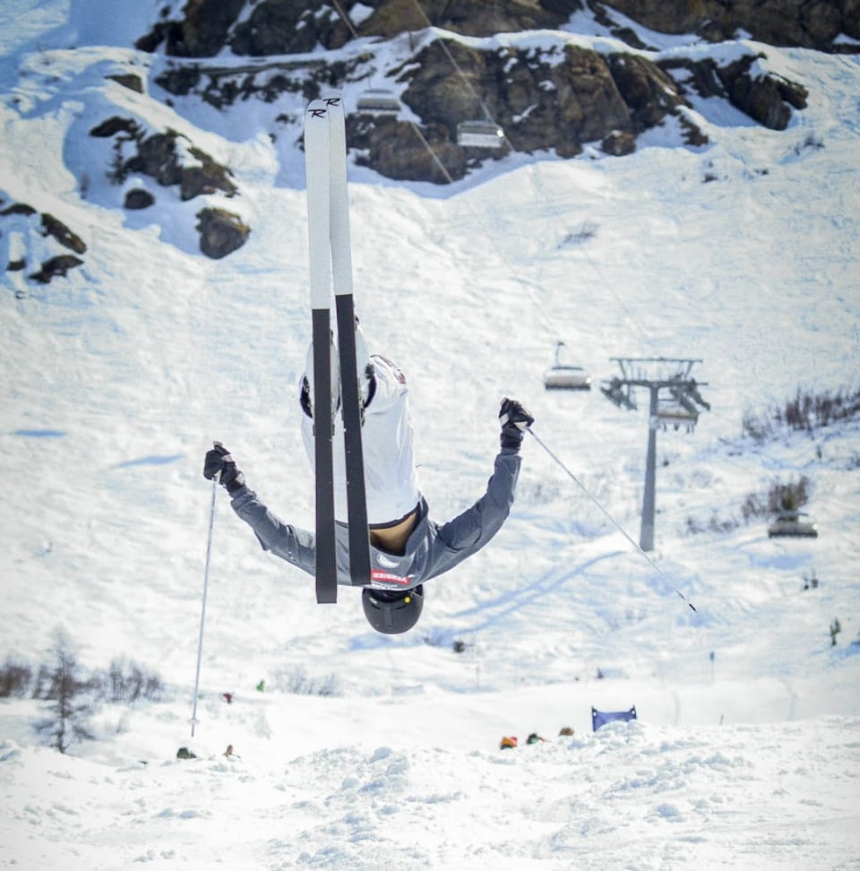
Alps & Europe Weekly Snow Roundup #293
Weekly Snow News for Europe, updated 17 December 2025: Mild sunshine dominates the Alps, but colder, snowier weather is returning region by region.
- Mild sunshine dominates western Europe
- Colder, snowier pattern emerging
- Most resorts are now open for Christmas
- Southern Alps see fresh snowfall
Europe Snow Report and Ski Conditions 2025/26
Sunshine has continued to dominate the weather over much of western Europe, just beginning to break down on more southerly slopes and in Scandinavia. Milder temperatures than typical for December have also accompanied the sunshine, with the daytime freezing point staying well above 2,000m altitudes most days. However, most resorts experienced good snowfalls in late November and early December, so higher terrain at least has decent snow depths for mid-December, and those figures haven't dropped significantly so far.
The main concern now is for lower-lying destinations. Almost regardless of the weather, it appears that most ski areas are now open for the 25-26 season, with more opening last weekend and most of the rest due to start spinning their lifts this coming Friday or Saturday ahead of the peak Christmas period. Already open slopes have also been increasing, with the largest offering 400km of terrain available.
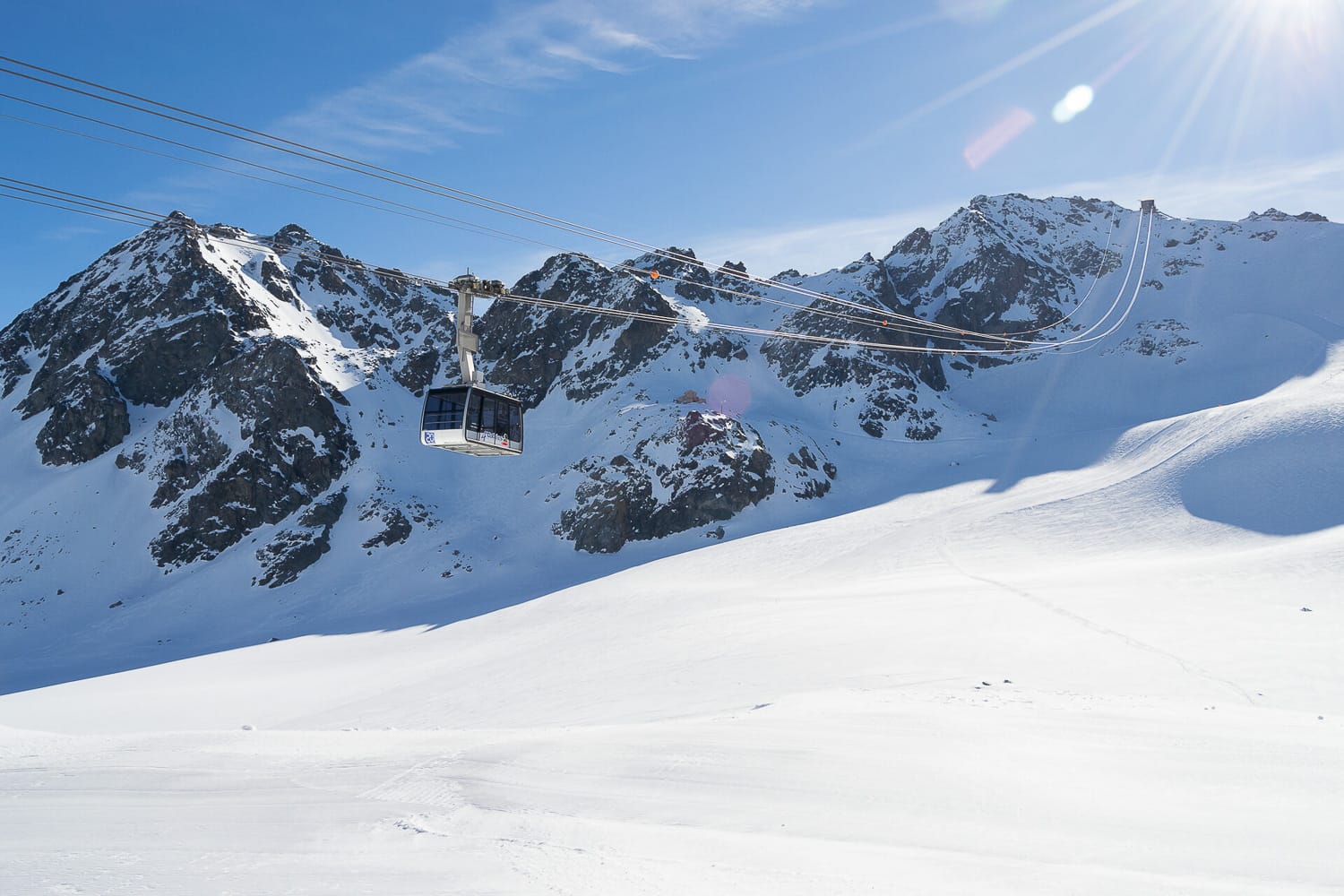
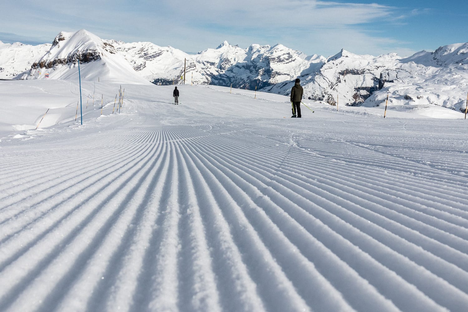
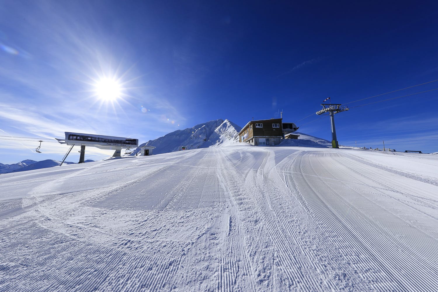
Austria Snow Report and Ski Conditions
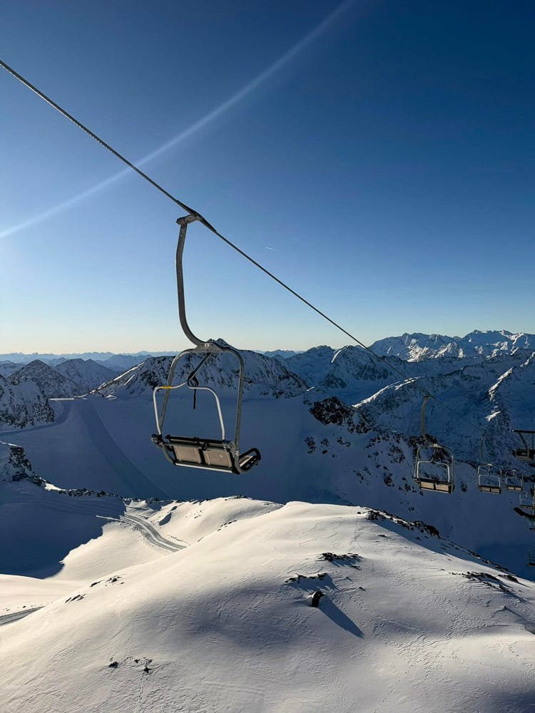
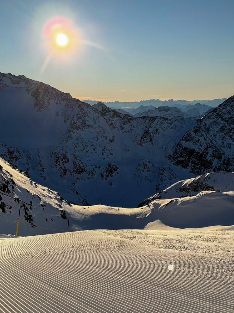
Images from Stubai Glacier | 11th December
It's been a predominantly dry and sunny week in the Austrian Alps, with some centres not having seen any snowfall at all for over a fortnight. Adding to this, warm weather has made snowmaking for base-building infrequent, creating potential issues—especially on the country's lower terrain—if the pattern continues much longer. For now, resorts are reporting slightly decreasing base depths, but there has been little change to the open terrain; in fact, most have opened a bit more.
Ischgl's (20/50cm / 8/20") shared area with Switzerland's Samnaun is the most open, with around 190km (120 miles) of slopes. Skiwelt, Arlberg, Saalbach-Hinterglemm, Solden, and Kitzbuhel also each report more than 130km of open runs.
Austria Weather and Snow Forecast
Conditions in the Austrian Alps are becoming more unsettled, with increased cloud cover and the first light snowfalls. Temperatures are also falling. While no major snowfalls are forecast yet, signs point to a more promising change in the weather.
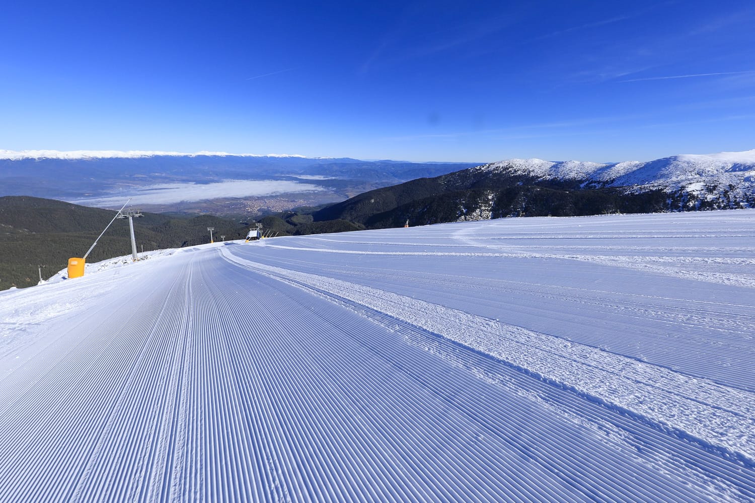
France Snow Report and Ski Conditions
It's been mostly sunny skies across the French Alps for ten days now. Temperatures have been milder than ideal, but with healthy snowfalls at the end of November and during the first week of this month, the snowpack is about a metre deep at 2,000 metres above most French resorts. Most major destinations report good early-season coverage, with the Paradiski region opening at the weekend and the 3 Valleys now around 65% open.
Although the best conditions are currently on piste, there is still plenty open for Christmas week, and as a bonus, avalanche danger has dropped to level 2 in most areas. Temperatures reaching +12°C in 1,000-metre valleys remain problematic for low-lying resorts and early-season snowmaking. However, colder air is returning, and light snowfall of around 5cm (2 inches) has already been reported in the southern Alps.
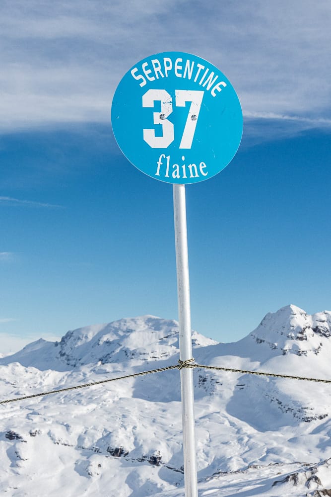
Flaine | 11th December
France Weather and Snow Forecast
Colder and more unsettled weather is expected over the next few days. Overnight lows may drop to -10°C. Northern resorts may see only a few centimetres of snow, while the southern Alps could receive 30–40cm (12–16 inches) by Monday.
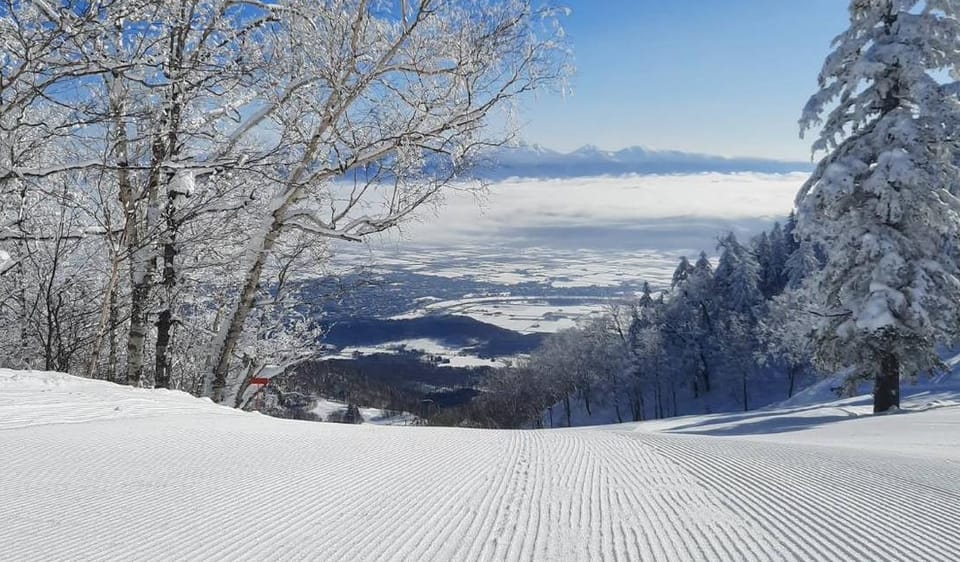
Italy Snow Report and Ski Conditions
Italy has experienced similarly dry, sunny, and mild conditions. These have suited piste skiers, particularly in destinations favouring groomed slopes. Snow cover remains thin, but that hasn’t prevented Val Gardena (20/50cm / 8/20") from opening over 90% of its terrain.
The deepest snow is currently along Italy’s western border, with Bardonecchia (80/120cm / 32/48") reporting the strongest early-season depths. Resorts in the Aosta Valley also recorded the Alps’ first significant snowfall in weeks on Tuesday, with 10–20cm (4–8 inches) reported.
Italy Weather and Snow Forecast
More widespread snowfall is expected. The Dolomites should receive 10–15cm (4–6 inches), while the Aosta Valley could see 12–18cm (5–7 inches) at altitude. Cooler temperatures will favour higher elevations.
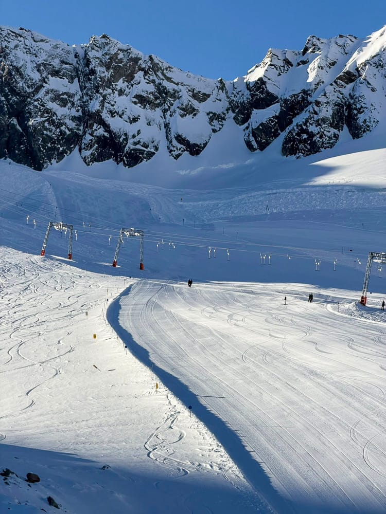
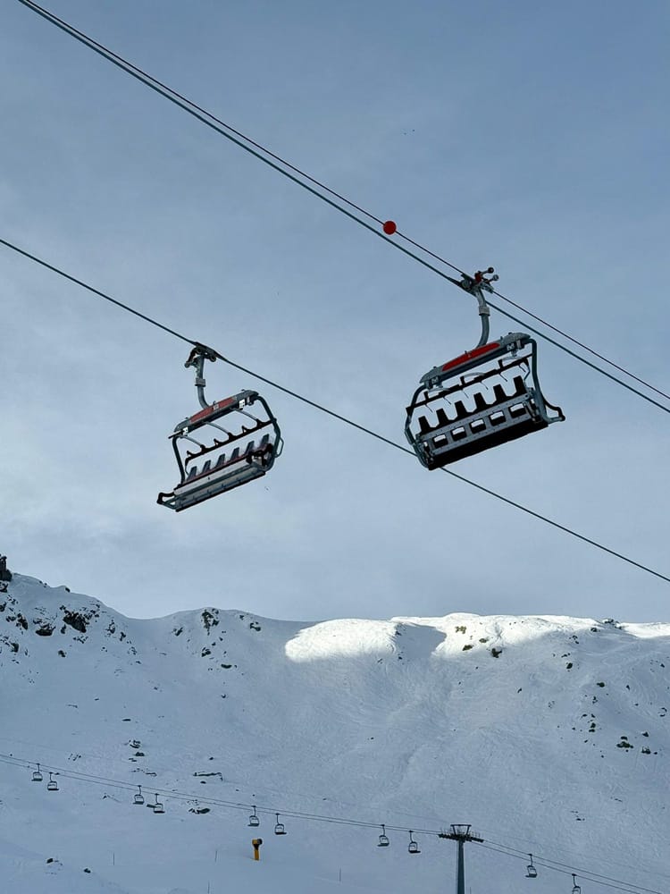
Switzerland Snow Report and Ski Conditions
The Swiss Alps have also been experiencing a dry, sunny pattern for about 10 days. Valley temperatures at 1,000m have reached +10°C, with afternoon temperatures still above freezing at 2,500m. Glacier 3000 (160/380cm / 64/152") near Gstaad remains the snowiest resort in Europe.
Zermatt's (15/80cm / 6/32") international ski area with Cervinia offers the most terrain open, with approximately 200km (125 miles) of runs available. Nearly all Swiss resorts are now operating, with the whole national opening expected this weekend.
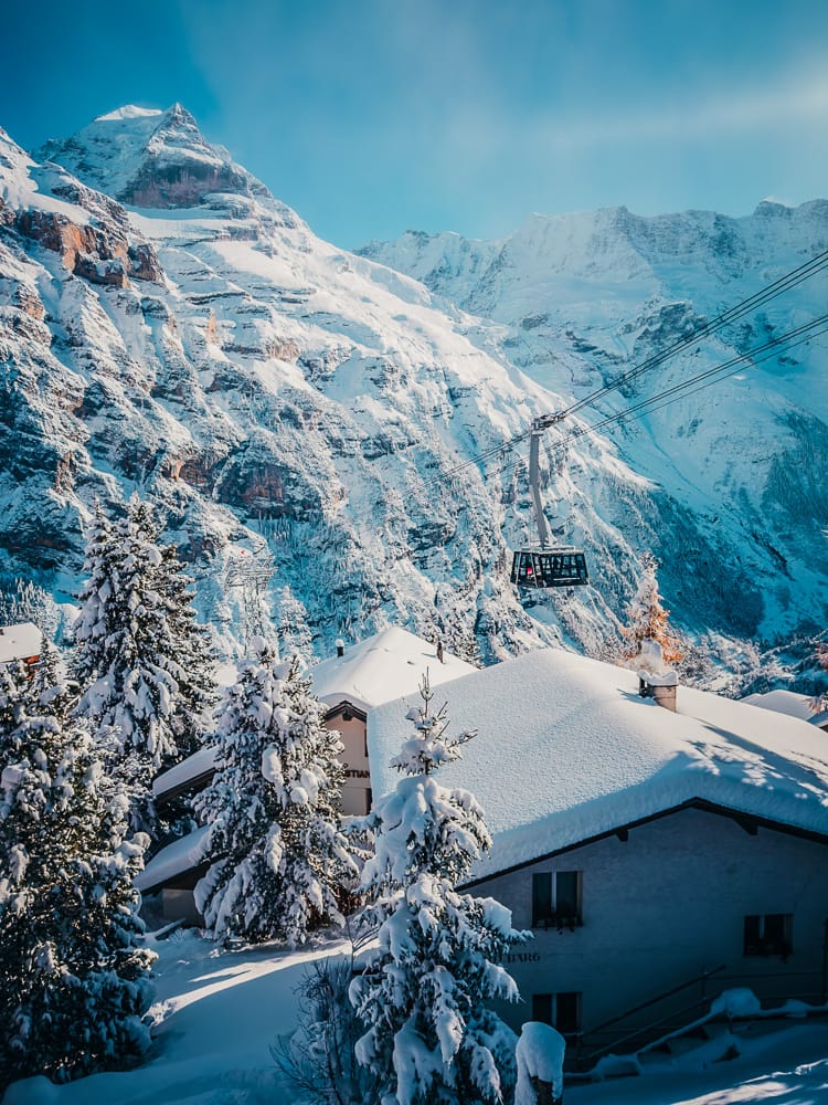
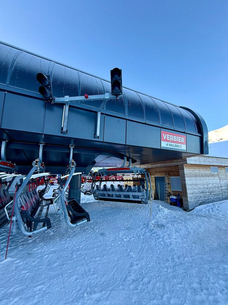

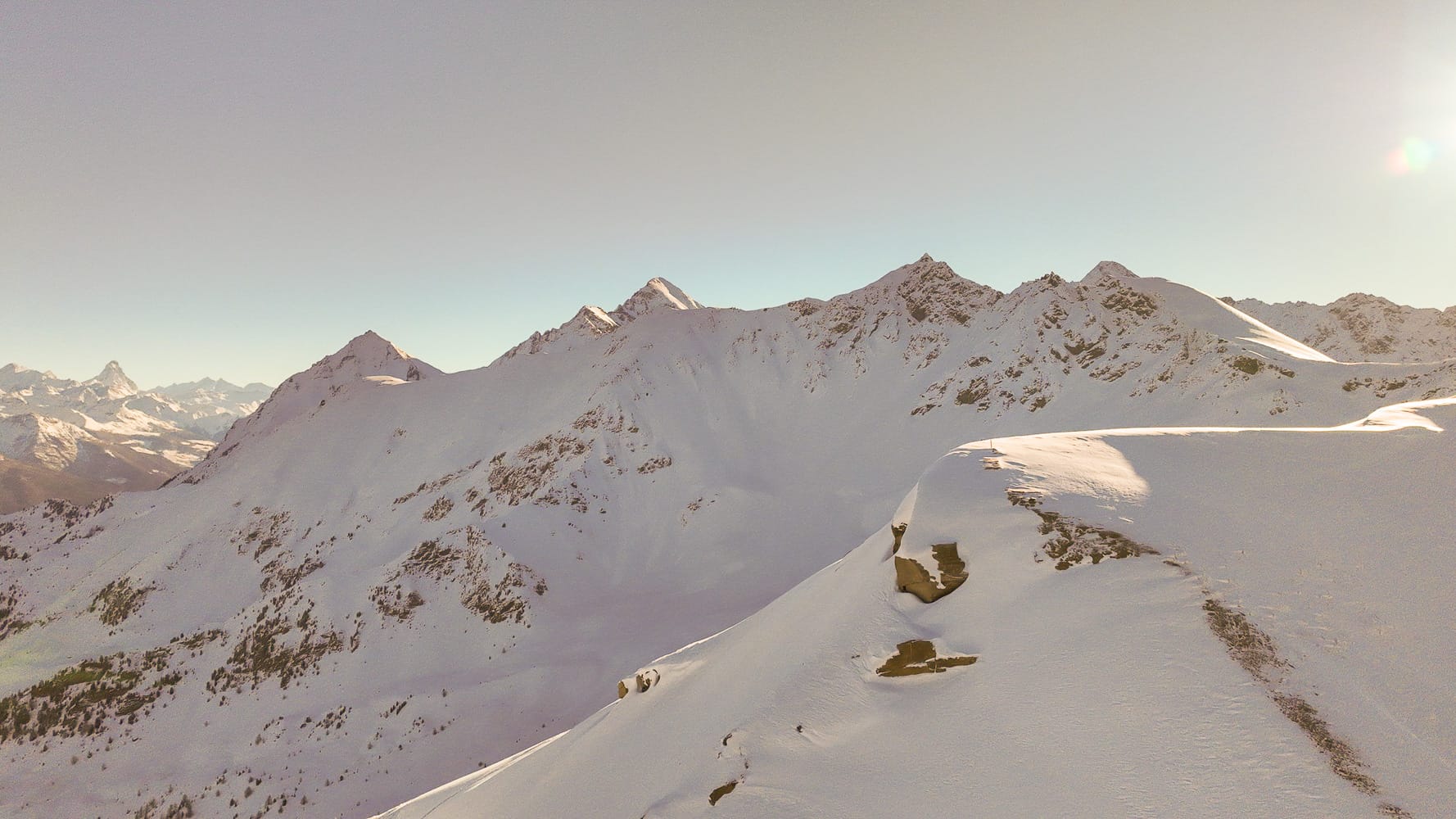
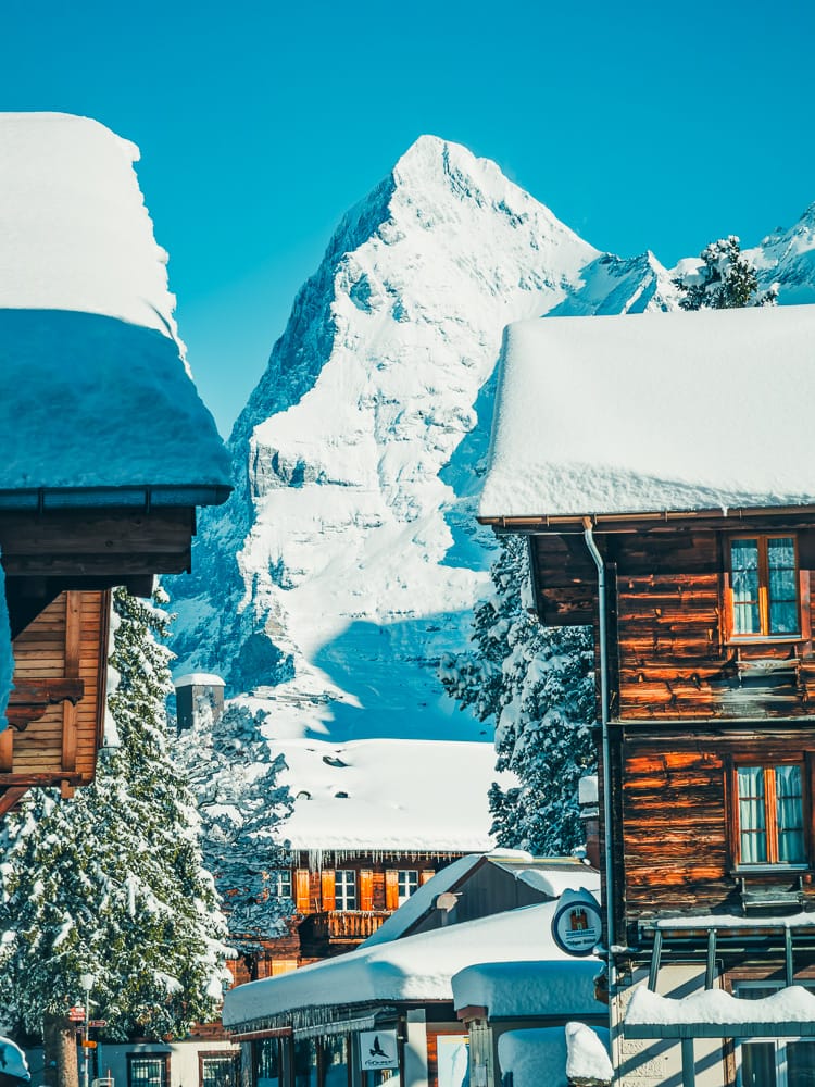
Images from Murren and Verbier on 11th December 2025
Switzerland Weather and Snow Forecast
Light snowfall is forecast, with 12–18cm (5–7 inches) at altitude and 5–10cm (2–4 inches) lower down. Healthy high-level bases should benefit from refreshed conditions.
Pyrenees Snow Report and Ski Conditions
It has been a quiet week in the Pyrenees, with little snowfall. Temperatures ranged from -8°C overnight at altitude to +8°C during the day. The freezing level has fluctuated between 1,500m and 2,500m, allowing limited snowmaking higher up.
Cauterets (25/125cm / 10/50") has the deepest snow and over 90% of slopes open. Baqueira Beret leads Spain with around 100km (63 miles) of terrain available.
Pyrenees Weather and Snow Forecast
Light to moderate snowfall is expected, with 10–15cm (4–6 inches) possible at higher elevations and lighter falls lower down.
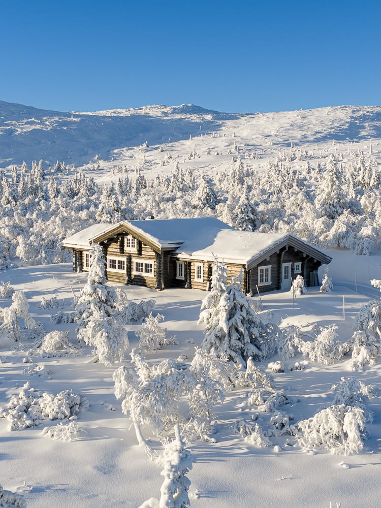
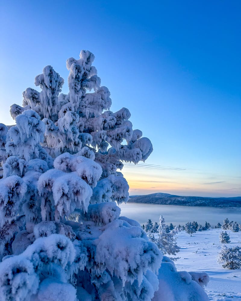
Scandinavia Snow Report and Ski Conditions
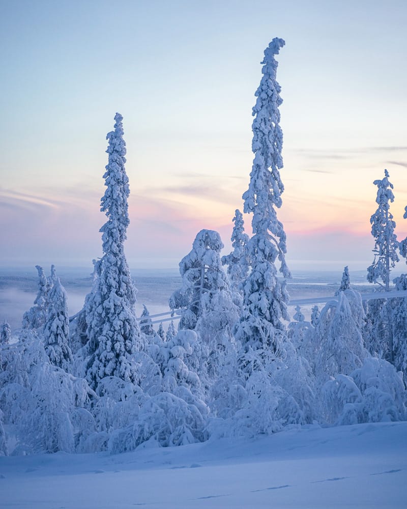
Scandinavian resorts have enjoyed a strong week, with regular snowfall of 5–20cm (2–8 inches). Temperatures remain below freezing, typically between 0 and -10°C. Although snow bases and open terrain are still modest, daylight is now minimal.
In Finnish Lapland, the sun has already set for the season at Levi (20/40cm / 8/16 inches). Gaustablikk (80/100cm / 32/40 inches) has the deepest snow, while Hemsedal offers the most terrain.
Scandinavia Weather and Snow Forecast
Further snowfall is expected across the region, with 8–15cm (3–6 inches) forecast and temperatures remaining well below freezing.
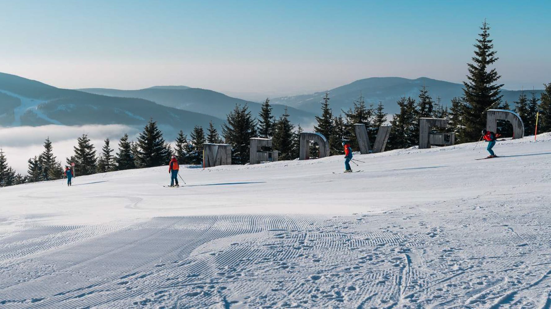
Eastern Europe Snow Report and Ski Conditions
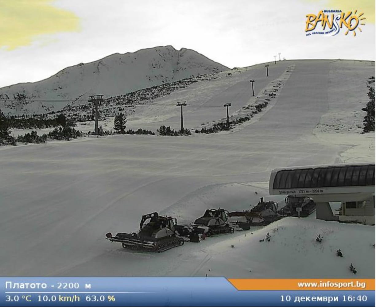
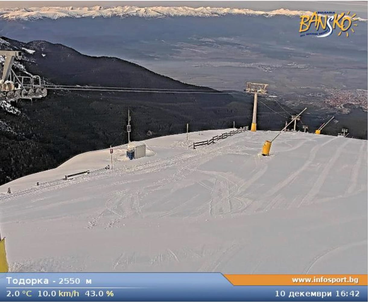
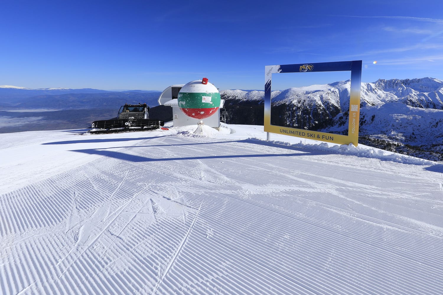
Bansko 11-12th December 2025
Eastern Europe has seen sunshine and mild conditions, limiting snowmaking opportunities at lower elevations. Despite this, the season continues to progress, with Bulgaria joining the season at the weekend.
Bansko opened its higher slopes, while Slovakia’s Jasna (40/60cm / 16/24”) continues to offer the most terrain in the region, with around half of its 52km (29 miles) open.
Eastern Europe Weather and Snow Forecast
Cold air and snowfall are forecast, with 6–12cm (3–5 inches) expected across Bulgaria, the Czech Republic, Poland, and Slovakia.
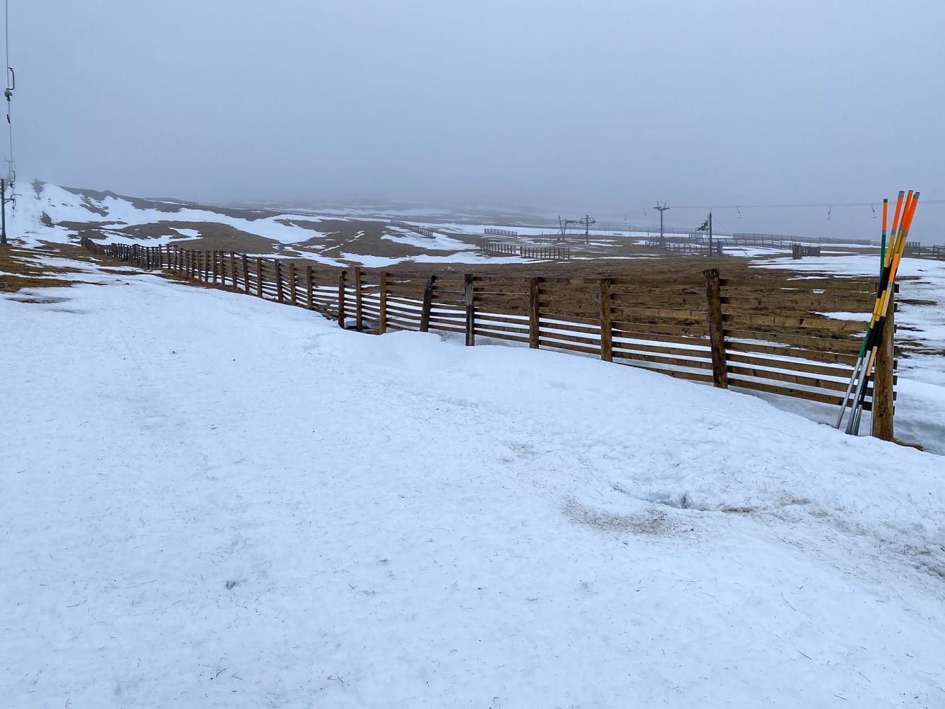
Scotland Snow Report and Ski Conditions
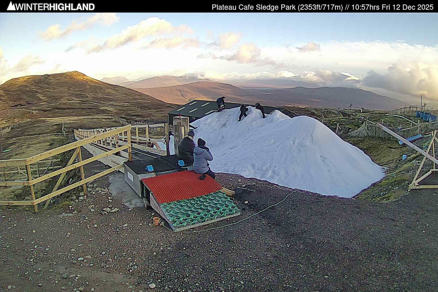
Scottish ski areas suffered significant early-season losses due to Storm Bran and subsequent mild, wet weather. Cairngorm confirmed it could no longer operate due to snow loss.
Colder weather has returned, and all centres are now relying on all-weather snowmaking to prepare for Christmas week. Glencoe delayed spreading its snowpile to reduce thaw losses.
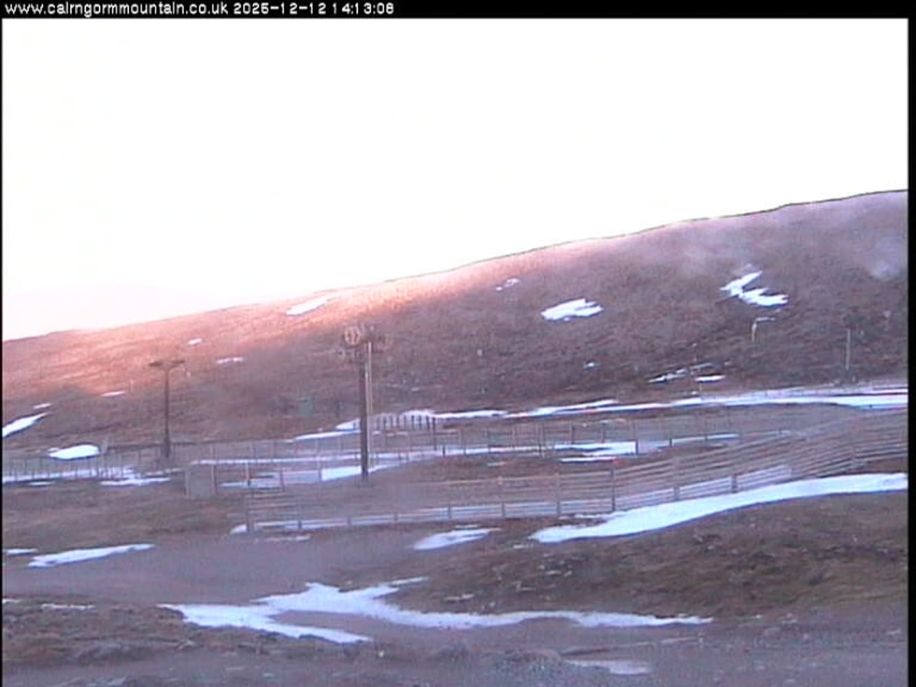
Cairngorm 12th December
Scotland Weather and Snow Forecast
Wintry conditions are returning, with 8–12cm (3–5 inches) expected at higher elevations. Strong winds may still cause disruption.