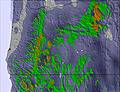
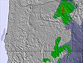
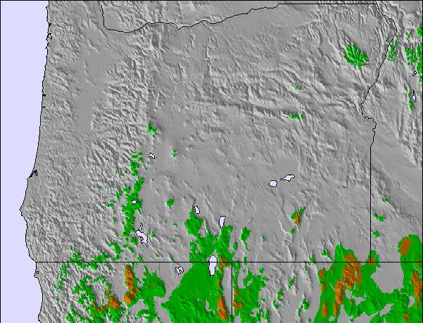
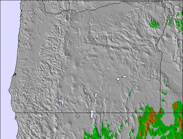
The above table gives the weather forecast for Willamette Pass at the specific elevation of 2037 m. Our sophisticated weather models allow us to provide snow forecasts for the top, middle and bottom ski stations of Willamette Pass. To access the weather forecasts for the other elevations, use the tab navigation above the table. For a wider view of the weather, check out the Weather Map of United States.
Click here to read further information on freezing levels and how we forecast our temperatures.
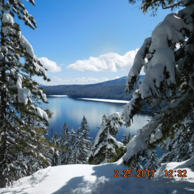
Willamette Pass is a fantastic place for a wide range of skiing. I grew up skiing in CO. I recently decided to teach my family (wife and 3 daughters, 6, 9 and 11) to ski. It's been a fantastic resort for us.
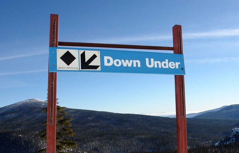
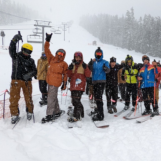
The greens are ideally organized. The bunny hill, Sleep Hollow, is actually long and steep enough to teach new skiers how to turn. Likewise, over on the twilight lift, Duck Soup is a perfect 1.2 mile long beginner run (and what I love to warm up on). There's no blues or black runs cutting through it (so you have experts or crazy teenagers flying by). Sally's Way and Peek-a-boo get moderately more difficult. So, from terrain perspective its great.
For more advanced skiers, there's double diamonds like RTS or a 15 foot cliff on the north side. There's long groomed blues like Endurance. Because there's no lines, I can easily drop the kids for a lesson or lunch and ski myself silly for two hours.
The only negatives is that the resort is low enough that sometimes the snowpack can be low or the snow can turn to rain. But that happens everywhere in OR. Not everywhere can like CO (where you have base elevations at 10,000+ at several resorts). But if you are from Eugene, and want some beautiful views, reasonable prices, and terrain for a wide variety of skiers, you can't do any better than Willamette Pass.
Willamette Pass is a fantastic place for a wide range of skiing. I grew up skiing in CO. I recently decided to teach my family (wife and 3 daughters, 6, 9 and 11) to ski. It's been a fantastic resort for us.
The greens are ideally organized. The bunny hill, Sleep Hollow, is actually long and steep enough to teach new skiers how to turn. Likewise, over on the twilight lift, Duck Soup is a perfect 1.2 mile long beginner run (and what I love to warm up on). There's no blues or black runs cutting through it (so you have experts or crazy teenagers flying by). Sally's Way and Peek-a-boo get moderately more difficult. So, from terrain perspective its great.
For more advanced skiers, there's double diamonds like RTS or a 15 foot cliff on the north side. There's long groomed blues like Endurance. Because there's no lines, I can easily drop the kids for a lesson or lunch and ski myself silly for two hours.
The only negatives is that the resort is low enough that sometimes the snowpack can be low or the snow can turn to rain. But that happens everywhere in OR. Not everywhere can like CO (where you have base elevations at 10,000+ at several resorts). But if you are from Eugene, and want some beautiful views, reasonable prices, and terrain for a wide variety of skiers, you can't do any better than Willamette Pass.
Free Snow-Forecast.com weather widget for your website
Embed the Willamette Pass weather widget on your site for free. It provides a weekly snapshot of snow and rain conditions across all elevations. Follow the two quick steps to grab your custom code and paste it into your site. Choose between metric or imperial units. Click here to get the code.


 Nearest