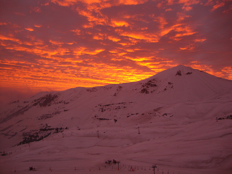


Portillo Storm Snowfall Total Passes 5m / 17 Feet
A snow storm that has now continued for nine days has taken Chilean ski resort Portillo to a snowfall total of 5.2 metres (17 feet) so far, with more snow forecast.

Next 3 days weather summary:A heavy fall of snow, heaviest during Fri afternoon. Temperatures will be below freezing (max 0°C on Mon morning, min -8°C on Fri night). Wind will be generally light. | Days 4-6 weather summary:A heavy fall of snow, heaviest during Wed night. Freeze-thaw conditions (max 3°C on Tue morning, min -6°C on Wed night). Wind will be generally light. | ||||||||||||||||
Fri 31 | Saturday 1 | Sunday 2 | Monday 3 | Tuesday 4 | Wednesday 5 | ||||||||||||
PM | night | AM | PM | night | AM | PM | night | AM | PM | night | AM | PM | night | AM | PM | night | |
heavy snow | snow shwrs | light snow | light snow | mod. snow | light snow | light snow | heavy snow | light snow | light snow | some clouds | cloudy | cloudy | some clouds | some clouds | snow shwrs | heavy snow | |
km/h | |||||||||||||||||
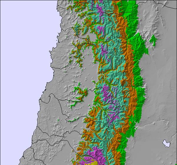
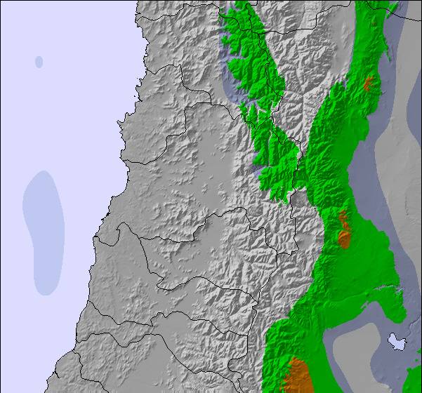
Snow map | 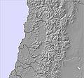 | 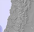 | 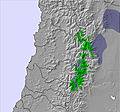 |  | 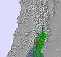 |  | |||||||||||
29 | — | — | 2 | 7 | 4 | 4 | 14 | 2 | — | — | — | — | — | — | — | 18 | |
mm | — | — | — | — | — | — | — | — | — | — | — | — | — | — | — | — | — |
max °C | -7 | -7 | -1 | -1 | -4 | -2 | -2 | -2 | 0 | 1 | 2 | 3 | 2 | 1 | 0 | -1 | -5 |
min °C | -7 | -8 | -5 | -2 | -4 | -3 | -3 | -2 | -1 | 1 | 1 | 1 | 2 | 0 | -1 | -3 | -6 |
chill °C | -13 | -13 | -10 | -8 | -10 | -9 | -9 | -8 | -6 | -3 | -2 | -2 | 0 | -4 | -5 | -9 | -14 |
Humid % | 84 | 34 | 29 | 50 | 86 | 82 | 90 | 96 | 84 | 72 | 49 | 53 | 47 | 35 | 49 | 86 | 97 |
Freeze m | 2150 | 1800 | 3150 | 2850 | 2700 | 3000 | 2850 | 2900 | 3300 | 3450 | 3550 | 3600 | 3550 | 3350 | 3350 | 2850 | 2300 |
— | — | 7:31 | — | — | 7:31 | — | — | 7:31 | — | — | 7:30 | — | — | 7:28 | — | — | |
6:00 | — | — | 6:01 | — | — | 6:02 | — | — | 6:02 | — | — | 6:04 | — | — | 6:05 | — | |
Go pro and carve into:
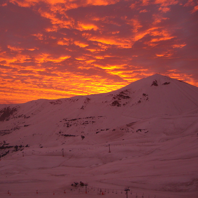
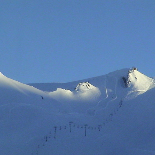
Latest snow reports near Valle Nevado:
Snow falling heavily at Farellones. from Farellones
There is heavy snow falling at Farellones. from Farellones
Snow falling at Farellones. from Farellones
Snowing heavily at Valle Nevado. from Valle Nevado
| Top snow depth: | 170 cm |
|---|---|
| Bottom snow depth: | 90 cm |
| Fresh snowfall depth: | 7 cm |
| Last snowfall: | 29 Jul 2026 |
| Snow Alerts | Create Alert |
0.8 | Bluebird Powder days Fresh snow, mostly sunny, light wind. |
|---|---|
0.6 | Powder days Fresh snow, limited sun, any wind. |
2.0 | Bluebird days Average snow, mostly sunny, light wind. |
The above table gives the weather forecast for Valle Nevado at the specific elevation of 3264 m. Our sophisticated weather models allow us to provide snow forecasts for the top, middle and bottom ski stations of Valle Nevado. To access the weather forecasts for the other elevations, use the tab navigation above the table. For a wider view of the weather, check out the Weather Map of Chile.
Click here to read further information on freezing levels and how we forecast our temperatures.
Overall 3.4 Based on 90 votes and 100 reviews
Will never step foot at Valle Nevado and will warn everyone I know not to. Started out with waiting over an hour just to try to rent ski equipment. Line was moving extremely slow due to an issue with their computer system. Since it was moving so slow, I told my wife to stay in line and I would go to purchase lift tickets. Purchased two, all day adult tickets. By the time we finally got in to get rental equipment, it was after 11am, arrived at 9:30am. They were out of ski boots in our sizes. I requested a refund of our lift tickets because we could not ski due to their lack of equipment. I was told no refunds on lift tickets. I was told I could use the tickets at a later date. I only had one day that I could ski. I reiterated that I couldn't not ski due to the fact that they ran out of equipment. I also would not have purchased the lift tickets before getting my equipment but only did so because of their system failure and I was trying to salvage as much of what was left of the day.... again because of their problems. No, no refund. So, buyer beware. Not only did we lose approximately $175 usd on the lift ticket, we paid for a round trip shuttle from Santiago at approximately $80usd as well as a wasted day and a wasted trip as this was our main reason for coming to Santiago.
Joe Houston from United States writes:
Will never step foot at Valle Nevado and will warn everyone I know not to. Started out with waiting over an hour just to try to rent ski equipment. Line was moving extremely slow due to an issue with their computer system. Since it was moving so slow, I told my wife to stay in line and I would go to purchase lift tickets. Purchased two, all day adult tickets. By the time we finally got in to get rental equipment, it was after 11am, arrived at 9:30am. They were out of ski boots in our sizes. I requested a refund of our lift tickets because we could not ski due to their lack of equipment. I was told no refunds on lift tickets. I was told I could use the tickets at a later date. I only had one day that I could ski. I reiterated that I couldn't not ski due to the fact that they ran out of equipment. I also would not have purchased the lift tickets before getting my equipment but only did so because of their system failure and I was trying to salvage as much of what was left of the day.... again because of their problems. No, no refund. So, buyer beware. Not only did we lose approximately $175 usd on the lift ticket, we paid for a round trip shuttle from Santiago at approximately $80usd as well as a wasted day and a wasted trip as this was our main reason for coming to Santiago.

 Nearest