The above table gives the weather forecast for Vall de Núria at the specific elevation of 1970 m. Our sophisticated weather models allow us to provide snow forecasts for the top, middle and bottom ski stations of Vall de Núria. To access the weather forecasts for the other elevations, use the tab navigation above the table. For a wider view of the weather, check out the Weather Map of Spain.
Click here to read further information on freezing levels and how we forecast our temperatures.
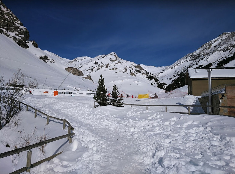
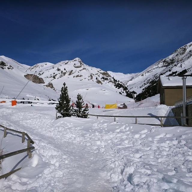
Vall de Núria. It has a great website plus all the adverts around the Barcelona area look very nice. Also on all the posters. It does seem quite an offer: ski pass and train ticket from 22 euros.
But that's where the positivity stops. It's obvious now that I've been there, where all the money goes, on the website and adverts. They even advertise it as " Ski without crowds". Normally that would be very tempting, no-one likes crowds. However, in this case, crowds are good, crowds mean that, ok, skiing is not cheap, but it's fantastic on the mountain!
Now, I realize that no 'proper skiers and boarders' would be tempted by the glossy website and posters, after all there's only 11 pistes and 4 lifts, on a good day. But when you have 2 children, "Ski without crowds" seems a good offer.
It isn't. Go where the crowds are and enjoying proper winter sports. At Nuria (Vall de Núria), you spend more time going up than you do going down, never a plus for winter sports enthusiasts. The actual cost is shockingly bad value for money. Ok, at Mesalla and La Molina and the other larger resorts you will have the occasional queue. But it's worth it for the downhill! And despite what the website and brochure promises, we didn't find it at all child friendly.
So, if you want to check at the website, it won't cost you anything. However, if you are intent on spending money, go elsewhere.
Free Snow-Forecast.com weather widget for your website
Embed the Vall de Núria weather widget on your site for free. It provides a weekly snapshot of snow and rain conditions across all elevations. Follow the two quick steps to grab your custom code and paste it into your site. Choose between metric or imperial units. Click here to get the code.


 Nearest