Issued by Snow-Forecast.com at:7 am (local time) / 17 Jul 2026
Last 6 daysScroll left for last 6 daysNow
Next 3 days weather summary:
Light rain (total 4.0mm), mostly falling on Fri night. Mild temperatures (max 7°C on Fri afternoon, min 2°C on Sat morning). Wind will be generally light.
Days 4-6 weather summary:
Mostly dry. Freeze-thaw conditions (max 5°C on Mon afternoon, min -1°C on Wed night). Wind will be generally light.
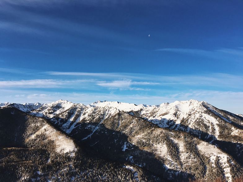
The above table gives the weather forecast for Val d'Isere at the specific elevation of 3550 m. Our sophisticated weather models allow us to provide snow forecasts for the top, middle and bottom ski stations of Val d'Isere. To access the weather forecasts for the other elevations, use the tab navigation above the table. For a wider view of the weather, check out the Weather Map of France.
Click here to read further information on freezing levels and how we forecast our temperatures.
Been there now for several winters (mostly March but 2018 also in April). Love the place and area.
Our favourite is; 08.5o the 1st lift on the Olympic to Bellevarde. Straight down to the Funival, up again and down the Face and back with the Olympic. Then down to the Toviere lift and so continuing to Tignes. Then start the up-and -down on the northern part:Tichot, Gratalui, Grand Huit and the Aiguille the Percee lift to the Aiguille de Percee( Eagleæ's eye). So down the Sache to Tignes les Brevieres and up again with the Boisses and MArais. Lunch on the nearest restaurant (around 11-11.3o). Down to Tignes 21oo up to Toviere and down again to take the Grand motte. You take the red down to Tignes and then the Fresse and down to Val. Up to La Solaise and over the mountain with the Laissiers and up to Col de Iseran on the lifts on the Glaciers of the Pisaillas. Then you end the day in Fornet around 16.3o. Beautiful.
The restaurants? Try La casa scara, The Avancher; La vielle maison in La Daille and also 1789 in Val.
Enjoy.
Free Snow-Forecast.com weather widget for your website
Embed the Val d'Isere weather widget on your site for free. It provides a weekly snapshot of snow and rain conditions across all elevations. Follow the two quick steps to grab your custom code and paste it into your site. Choose between metric or imperial units. Click here to get the code.


 Nearest