Weather Forecast for Torgon-Les Portes du Soleil at2613m altitude
Issued: 1 pm 30 Jun 2026 (local time)
Forecast update in hr min
View forecast
Torgon-Les Portes du Soleilat 2613 m altitude
Issued by Snow-Forecast.com at:1 pm (local time) / 30 Jun 2026
Last 6 daysScroll left for last 6 daysNow
Next 3 days weather summary:
Heavy rain (total 30.0mm), heaviest during Wed afternoon. Very mild (max 11°C on Tue afternoon, min 6°C on Wed afternoon). Wind will be generally light.
Days 4-6 weather summary:
Mostly dry. Very mild (max 13°C on Sat afternoon, min 9°C on Sun night). Wind will be generally light.
The above table gives the weather forecast for Torgon-Les Portes du Soleil at the specific elevation of 2613 m. Our sophisticated weather models allow us to provide snow forecasts for the top, middle and bottom ski stations of Torgon-Les Portes du Soleil. To access the weather forecasts for the other elevations, use the tab navigation above the table. For a wider view of the weather, check out the Weather Map of Switzerland.
Click here to read further information on freezing levels and how we forecast our temperatures.
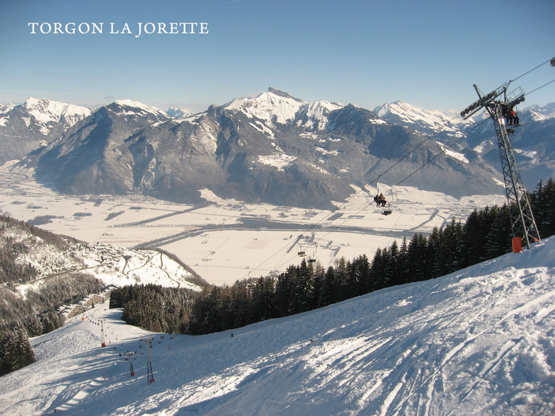
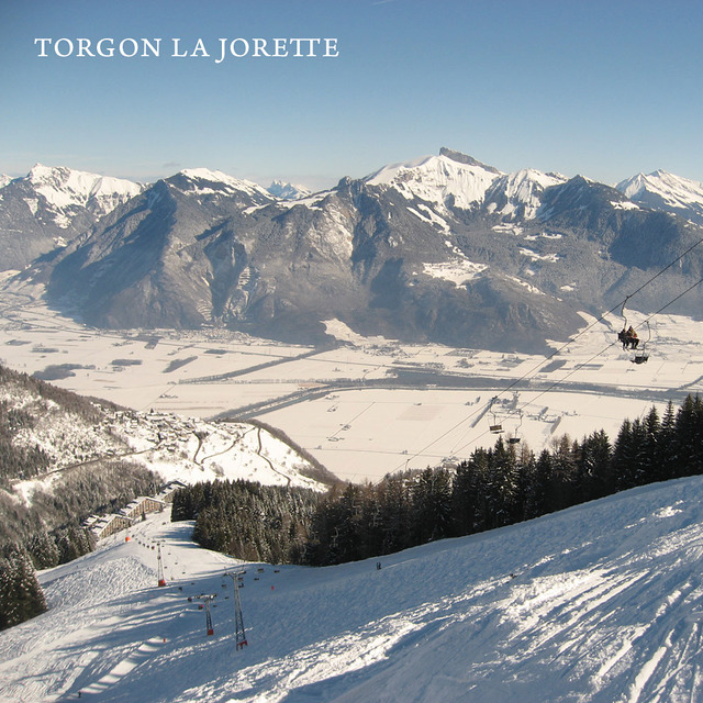
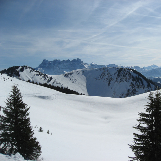
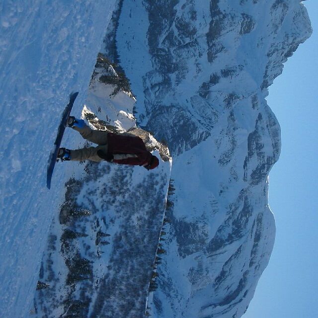
In Torgon de voorjaarsvakantie 2013 doorgebracht tijdens een ongelooflijk fraaie zonnige week met extreem veel sneeuw. Geen wachttijden bij de liften. Top geprepareerde pistes. Het mooie van Torgon zijn de uitdagende pistes. Het is niet nodig de portes du soleil in te trekken. Genoeg variatie in Torgon. La Jorette is een uitdagende piste met een fraaie hellingshoek. Le Djeu des Tetes is iets eenvoudiger maar ook spannend genoeg. Le Tronchey is zeer uitdagend. Mijn idee steiler dan de muur bij Crosets. Dan de Braitaz bij Chapelle. Vol op de zon met in het begin een schitterende helling om te carven. In Torgon genoeg tentjes om te lunchen. Le Tseudron, La Bourri, Le Mousseron, Les Aiguilletes, La Panoramique (met uitzicht over het meer van Geneve). Apres-ski in Le Perroquet of de Chocolat-Bar of Le Verre a Soi, Les Caprins. 2 snowparks op Le Braitaz en Djeu des Tetes. Kortom genoeg voorh et hele gezin. Absolute aanrader. Job
In Torgon de voorjaarsvakantie 2013 doorgebracht tijdens een ongelooflijk fraaie zonnige week met extreem veel sneeuw. Geen wachttijden bij de liften. Top geprepareerde pistes. Het mooie van Torgon zijn de uitdagende pistes. Het is niet nodig de portes du soleil in te trekken. Genoeg variatie in Torgon. La Jorette is een uitdagende piste met een fraaie hellingshoek. Le Djeu des Tetes is iets eenvoudiger maar ook spannend genoeg. Le Tronchey is zeer uitdagend. Mijn idee steiler dan de muur bij Crosets. Dan de Braitaz bij Chapelle. Vol op de zon met in het begin een schitterende helling om te carven. In Torgon genoeg tentjes om te lunchen. Le Tseudron, La Bourri, Le Mousseron, Les Aiguilletes, La Panoramique (met uitzicht over het meer van Geneve). Apres-ski in Le Perroquet of de Chocolat-Bar of Le Verre a Soi, Les Caprins. 2 snowparks op Le Braitaz en Djeu des Tetes. Kortom genoeg voorh et hele gezin. Absolute aanrader. Job
Free Snow-Forecast.com weather widget for your website
Embed the Torgon-Les Portes du Soleil weather widget on your site for free. It provides a weekly snapshot of snow and rain conditions across all elevations. Follow the two quick steps to grab your custom code and paste it into your site. Choose between metric or imperial units. Click here to get the code.


 Nearest