The above table gives the weather forecast for Torgon-Les Portes du Soleil at the specific elevation of 1945 m. Our sophisticated weather models allow us to provide snow forecasts for the top, middle and bottom ski stations of Torgon-Les Portes du Soleil. To access the weather forecasts for the other elevations, use the tab navigation above the table. For a wider view of the weather, check out the Weather Map of Switzerland.
Click here to read further information on freezing levels and how we forecast our temperatures.
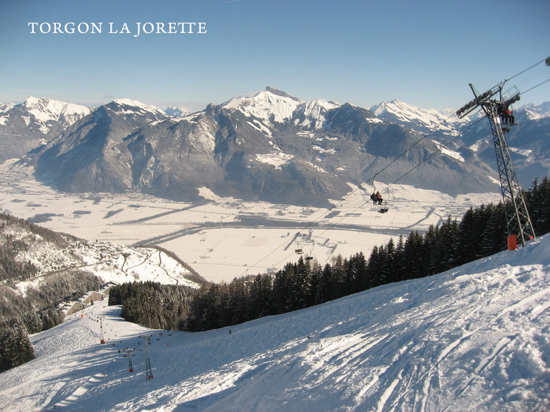
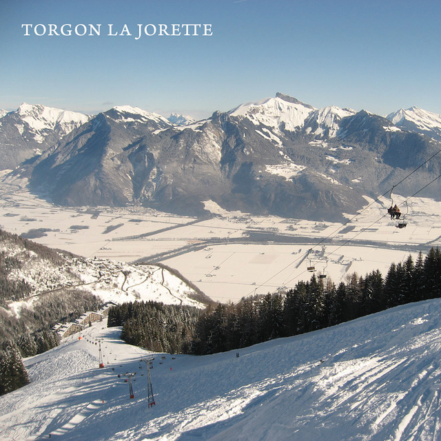
Torgon has really got it's act together and is now a smashing little starting off point for the whole Portes du Soleil.
There is now a very regular navette to the main plain du croix ski area from the La Jorette village; something that was lacking in previous years.
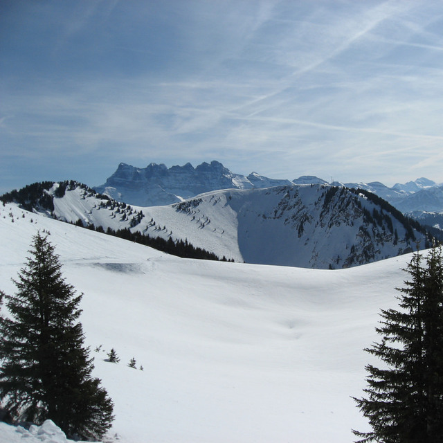
When the snow comes, it has to be one of the best places in the whole domain. Lots of relatively untouched powdery runs await. While Chatel, Avoriaz and Les Gets are easily accessible and not to be missed, some of the nicest runs are towards La Chapelle.
When snow cover is poor, take the main Trenchey lift and head towards Chatel and beyond.
There is a new restaurant that seems to be an upmarket steak house and in the old village, the hotel de Torgon serves nice Belgian beer.
Beware that Torgon is very small and if it is closed for lack of snow early or late in the season there is not a lot to do! But if you have a car, you can still wind your way round the mountain to higher-up Champery and its cable car, so you will get some skiing. Torgon's relatively low altitude means this drive only takes about 45-50 mins.
Torgon has really got it's act together and is now a smashing little starting off point for the whole Portes du Soleil.
There is now a very regular navette to the main plain du croix ski area from the La Jorette village; something that was lacking in previous years.
When the snow comes, it has to be one of the best places in the whole domain. Lots of relatively untouched powdery runs await. While Chatel, Avoriaz and Les Gets are easily accessible and not to be missed, some of the nicest runs are towards La Chapelle.
When snow cover is poor, take the main Trenchey lift and head towards Chatel and beyond.
There is a new restaurant that seems to be an upmarket steak house and in the old village, the hotel de Torgon serves nice Belgian beer.
Beware that Torgon is very small and if it is closed for lack of snow early or late in the season there is not a lot to do! But if you have a car, you can still wind your way round the mountain to higher-up Champery and its cable car, so you will get some skiing. Torgon's relatively low altitude means this drive only takes about 45-50 mins.
Free Snow-Forecast.com weather widget for your website
Embed the Torgon-Les Portes du Soleil weather widget on your site for free. It provides a weekly snapshot of snow and rain conditions across all elevations. Follow the two quick steps to grab your custom code and paste it into your site. Choose between metric or imperial units. Click here to get the code.


 Nearest