The above table gives the weather forecast for Tignes at the specific elevation of 3456 m. Our sophisticated weather models allow us to provide snow forecasts for the top, middle and bottom ski stations of Tignes. To access the weather forecasts for the other elevations, use the tab navigation above the table. For a wider view of the weather, check out the Weather Map of France.
Click here to read further information on freezing levels and how we forecast our temperatures.
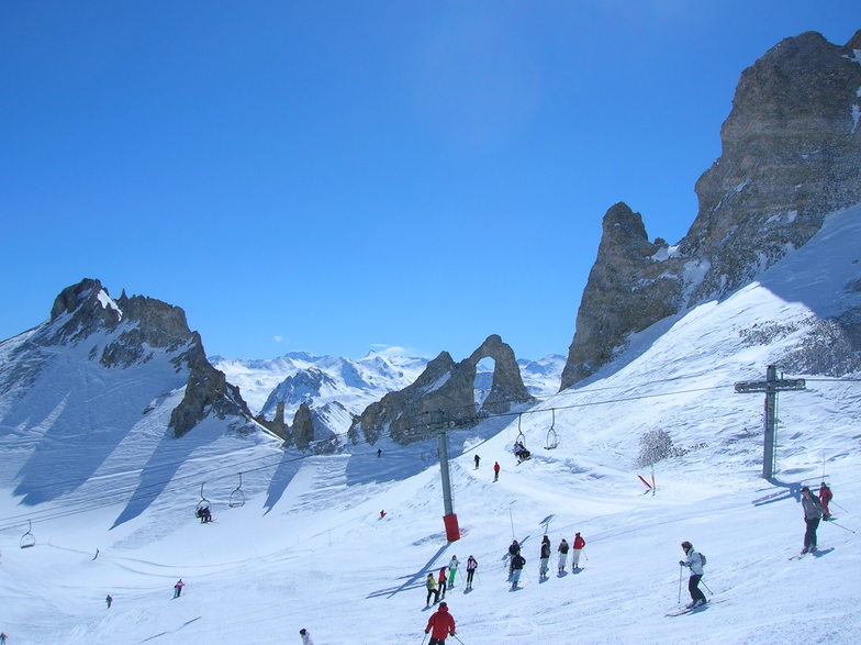
First time in Tignes from March 4 to 11. I was impressed by the variety of runs but was very impressed by the off-piste potential. We skied 5 days out of 6 that we planned. The day not skied was due to poor visibility due to fog and snow. The first part of the week was sunny / clear but the trails ended icy after 3pm. The grooming crew did an amazing job but there was no way the good conditions could last all day. Once the snow moved in, the mountain became soft and lovely. One area that I found nostalgic was the triple chair called TS Du Col Des Ves. I plan on returning and trying out the off-piste next time. The villages and the food were great. I am already looking at flights for next year :)
First time in Tignes from March 4 to 11. I was impressed by the variety of runs but was very impressed by the off-piste potential. We skied 5 days out of 6 that we planned. The day not skied was due to poor visibility due to fog and snow. The first part of the week was sunny / clear but the trails ended icy after 3pm. The grooming crew did an amazing job but there was no way the good conditions could last all day. Once the snow moved in, the mountain became soft and lovely. One area that I found nostalgic was the triple chair called TS Du Col Des Ves. I plan on returning and trying out the off-piste next time. The villages and the food were great. I am already looking at flights for next year :)
Free Snow-Forecast.com weather widget for your website
Embed the Tignes weather widget on your site for free. It provides a weekly snapshot of snow and rain conditions across all elevations. Follow the two quick steps to grab your custom code and paste it into your site. Choose between metric or imperial units. Click here to get the code.


 Nearest