

Banff Sunshine Village Opening for Summer Skiing
Banff Sunshine Village has confirmed it will reopen for a fortnight of summer skiing, from this weekend. The only ski area in Canada to be open into July.

Next 3 days weather summary:Light rain (total 2.0mm), mostly falling on Mon night. Warm (max 28°C on Sun afternoon, min 16°C on Sat night). Wind will be generally light. | Days 4-6 weather summary:Heavy rain (total 32.0mm), heaviest during Thu night. Warm (max 28°C on Thu afternoon, min 14°C on Thu night). Wind will be generally light. | ||||||||||||||||
Sat 20 | Sunday 21 | Monday 22 | Tuesday 23 | Wednesday 24 | Thursday 25 | ||||||||||||
PM | night | AM | PM | night | AM | PM | night | AM | PM | night | AM | PM | night | AM | PM | night | |
some clouds | some clouds | some clouds | clear | clear | clear | some clouds | rain shwrs | clear | clear | clear | clear | light rain | rain shwrs | clear | mod. rain | rain shwrs | |
km/h | |||||||||||||||||
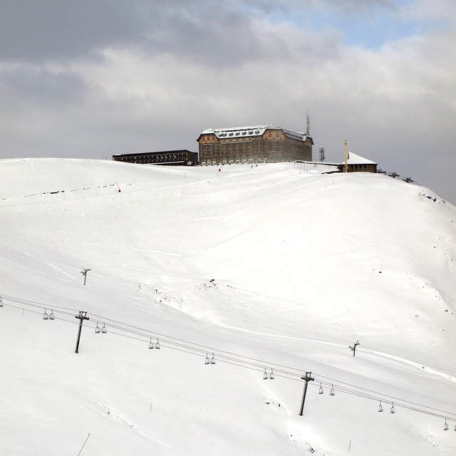
Snow map |  |  |  | 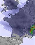 |  | 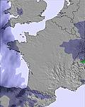 | |||||||||||
— | — | — | — | — | — | — | — | — | — | — | — | — | — | — | — | — | |
mm | — | — | — | — | — | — | — | 2 | — | — | — | — | 2 | 4 | — | 8 | 18 |
max °C | 25 | 22 | 25 | 28 | 25 | 27 | 28 | 21 | 25 | 27 | 25 | 26 | 27 | 18 | 26 | 28 | 17 |
min °C | 25 | 16 | 18 | 27 | 18 | 20 | 28 | 18 | 20 | 27 | 18 | 21 | 20 | 16 | 18 | 16 | 14 |
chill °C | 25 | 16 | 18 | 27 | 18 | 20 | 28 | 18 | 20 | 27 | 18 | 21 | 20 | 16 | 18 | 16 | 14 |
Humid % | 37 | 48 | 34 | 25 | 35 | 26 | 25 | 43 | 32 | 27 | 42 | 33 | 62 | 49 | 36 | 86 | 56 |
Freeze m | 4450 | 4550 | 4600 | 4750 | 4700 | 4700 | 4750 | 4650 | 4550 | 4650 | 4600 | 4550 | 4650 | 4650 | 4650 | 4450 | 4700 |
— | — | 6:18 | — | — | 6:18 | — | — | 6:18 | — | — | 6:20 | — | — | 6:20 | — | — | |
— | 9:38 | — | — | 9:38 | — | — | 9:38 | — | — | 9:38 | — | — | 9:38 | — | — | 9:39 | |
Go pro and carve into:
Avalanche information: European Avalanche Warning Services (EAWS)
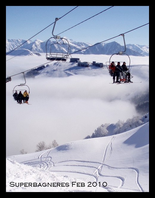
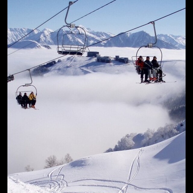
Latest snow reports near Superbagneres:
| Top snow depth: | 0 cm |
|---|---|
| Bottom snow depth: | 0 cm |
| Fresh snowfall depth: | — |
| Last snowfall: | 15 May 2026 |
| Snow Alerts | Create Alert |
0.0 | Bluebird Powder days Fresh snow, mostly sunny, light wind. |
|---|---|
0.0 | Powder days Fresh snow, limited sun, any wind. |
0.0 | Bluebird days Average snow, mostly sunny, light wind. |

The above table gives the weather forecast for Superbagneres at the specific elevation of 1440 m. Our sophisticated weather models allow us to provide snow forecasts for the top, middle and bottom ski stations of Superbagneres. To access the weather forecasts for the other elevations, use the tab navigation above the table. For a wider view of the weather, check out the Weather Map of France.
Click here to read further information on freezing levels and how we forecast our temperatures.
Overall 3.8 Based on 15 votes and 3 reviews
Superbagneres boasts the highest vertical lift of any gondola in the Pyrenees, linking the town of Luchon (630m) to the resort itself at 1800m. This very traditional, and good value resort is relatively unknown outside of France and as such still has a very "French" feel about it. With the exception of the main French school holidays the resort is generally very quiet with few lift qeueus and relatively empty pistes. The domain is split into 3 distinct areas, Techous, Lac and Cecire and provides a range of pistes to suit all abilities. When conditions permit the off-piste opportunities are great and there are some spectacular views to be had from both the Cecire side of the resort and the ridge above the Secteur du Lac. This very family friendly resort is gradually being updated and a significant investment in snow making equipment means that in all but the worst conditions there should be plenty of skiing to be had. Most services and activities are centered around the resort itself though there is a great restaurant at the foot of the Cecire secteur called "La Hount".
Mike from United Kingdom writes:
Superbagneres boasts the highest vertical lift of any gondola in the Pyrenees, linking the town of Luchon (630m) to the resort itself at 1800m. This very traditional, and good value resort is relatively unknown outside of France and as such still has a very "French" feel about it. With the exception of the main French school holidays the resort is generally very quiet with few lift qeueus and relatively empty pistes.
The domain is split into 3 distinct areas, Techous, Lac and Cecire and provides a range of pistes to suit all abilities. When conditions permit the off-piste opportunities are great and there are some spectacular views to be had from both the Cecire side of the resort and the ridge above the Secteur du Lac.
This very family friendly resort is gradually being updated and a significant investment in snow making equipment means that in all but the worst conditions there should be plenty of skiing to be had.
Most services and activities are centered around the resort itself though there is a great restaurant at the foot of the Cecire secteur called "La Hount".


 Nearest