
Visiting Shinhotaka Ropeway
Helpful resort information to assist planning your trip.
- Opens—
- Closes—
- Accommodation—
- Restaurants | Bars— | —
- Nearest Airport —
- Nearest Train Station Takayama
- Tourist Office Website
- Tourist Office Phone0578-9-2252
- Avalanche information:
Shinhotaka Ropeway Features
The terrain at Shinhotaka Ropeway includes:
- HalfpipesNo
- Terrain Parks—
- X-Country—
- Ski Hire—
What's it like at Shinhotaka Ropeway resort?
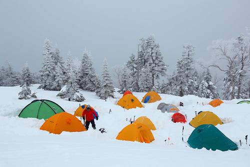
Shinhotaka Ropeway in Japan (located in the Gifu prefecture) is a small ski resort with just 4 ski lifts but it does boast a very impressive 926 metres (3038 feet) of vertical descent. Shinhotaka Ropeway has 5 pistes. Shinhotaka Ropeway is best suited to advanced and intermediate skiers and snowboarders. We have no information about the existence of any cross country ski trails at Shinhotaka Ropeway.. The nearest train station to Shinhotaka Ropeway is at Takayama.
Explore Shinhotaka Ropeway Location Map
Interactive Shinhotaka Ropeway trail map and piste map. View the piste and trails as well as the surrounding terrain and mountain contours for backcountry action. Find and compare nearby resorts by clicking on the resort markers.

When's the snowiest month to visit Shinhotaka Ropeway?
What's the snow currently like in Shinhotaka Ropeway?
A summary of the current snow conditions in Shinhotaka Ropeway. View more information on the Shinhotaka Ropeway detailed snow report page.
- Piste Condition—
- Off-piste Condition—

| Upper snow depth: | ||
|---|---|---|
| Lower snow depth: | ||
Resorts close to Shinhotaka Ropeway
Discover ski resorts near Shinhotaka Ropeway. Click below to view there ski resort guides.
 Hirayu OnsenLast snow: 1.0 cm Sat 09 May
 Lifts: 2
 Pistes: 411 km away
- Hidanorikura Pentapia Snow WorldLast snow: 1.0 cm Sat 09 MayLifts: 2Pistes: 614 km away
- HounokidairaLast snow: 1.0 cm Sat 09 MayLifts: 8Pistes: 1414 km away
- Norikura Kogen IgayaLast snow: 2.0 cm Tue 07 AprLifts: 1Pistes: 318 km away
- Mt NorikuraLast snow: 1.0 cm Sat 09 MayLifts: 8Pistes: 2018 km away
 Nearest