

Global Weekly Snow Roundup #320
Weekly Snow News for the world, updated 25 June 2026: Chile and New Zealand's seasons proper set to begin, Tignes and Sunshine reopen for summer skiing. weekend as Riksgransen ends its 2026 season.

Next 3 days weather summary:Light rain (total 5.0mm), mostly falling on Mon night. Warm (max 20°C on Mon afternoon, min 15°C on Sun morning). Wind will be generally light. | Days 4-6 weather summary:Mostly dry. Warm (max 20°C on Wed afternoon, min 15°C on Thu night). Wind will be generally light. | |||||||||||||||||
Sunday 28 | Monday 29 | Tuesday 30 | Wednesday 1 | Thursday 2 | Friday 3 | |||||||||||||
AM | PM | night | AM | PM | night | AM | PM | night | AM | PM | night | AM | PM | night | AM | PM | night | |
clear | clear | clear | clear | clear | rain shwrs | t-storm risk | some clouds | t-storm risk | clear | clear | clear | clear | some clouds | clear | clear | clear | clear | |
km/h | ||||||||||||||||||
Snow map | 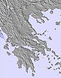 | 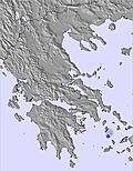 | 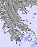 |  |  |  | ||||||||||||
— | — | — | — | — | — | — | — | — | — | — | — | — | — | — | — | — | — | |
mm | — | — | — | — | — | 2 | 1 | — | 2 | — | — | — | — | — | — | — | — | — |
max °C | 16 | 18 | 18 | 17 | 20 | 19 | 18 | 20 | 18 | 18 | 20 | 20 | 19 | 20 | 19 | 16 | 19 | 19 |
min °C | 15 | 17 | 17 | 17 | 18 | 17 | 17 | 19 | 17 | 17 | 19 | 18 | 18 | 20 | 15 | 15 | 18 | 16 |
chill °C | 15 | 16 | 16 | 16 | 18 | 17 | 17 | 19 | 17 | 17 | 19 | 18 | 18 | 20 | 14 | 15 | 18 | 15 |
Humid % | 72 | 60 | 57 | 48 | 55 | 50 | 57 | 51 | 53 | 54 | 45 | 45 | 48 | 53 | 65 | 53 | 39 | 41 |
Freeze m | 4300 | 4350 | 4300 | 4050 | 4050 | 4050 | 4000 | 4000 | 3950 | 4000 | 4000 | 4200 | 4200 | 4300 | 4450 | 4500 | 4250 | 4250 |
6:03 | — | — | 6:03 | — | — | 6:03 | — | — | 6:03 | — | — | 6:05 | — | — | 6:05 | — | — | |
— | — | 9:06 | — | — | 9:06 | — | — | 9:06 | — | — | 9:06 | — | — | 9:06 | — | — | 9:06 | |
Go pro and carve into:
Latest snow reports near Seli:
| Top snow depth: | — |
|---|---|
| Bottom snow depth: | — |
| Fresh snowfall depth: | — |
| Last snowfall: | 3 May 2026 |
| Snow Alerts | Create Alert |
0.0 | Bluebird Powder days Fresh snow, mostly sunny, light wind. |
|---|---|
0.0 | Powder days Fresh snow, limited sun, any wind. |
0.0 | Bluebird days Average snow, mostly sunny, light wind. |
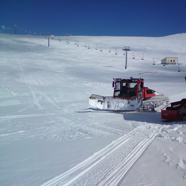
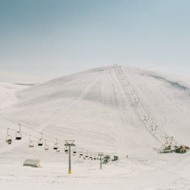
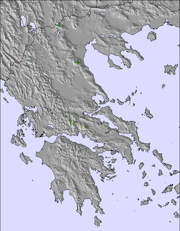
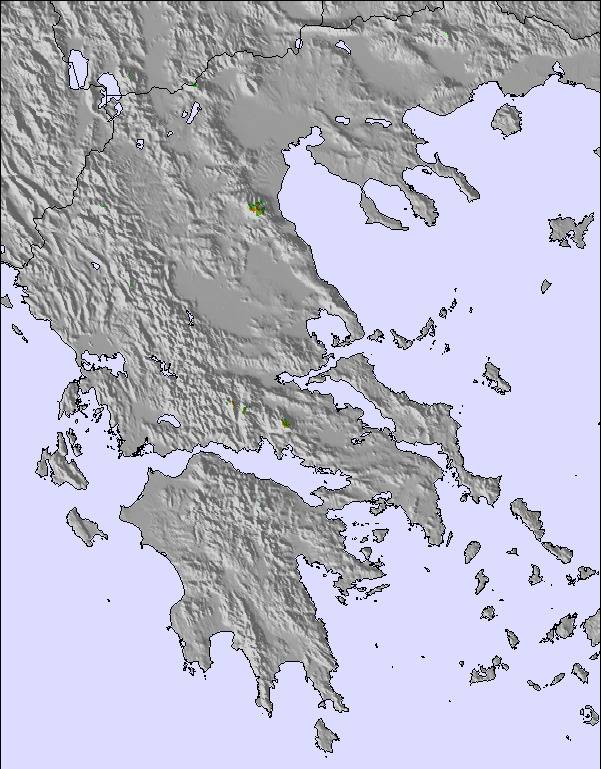
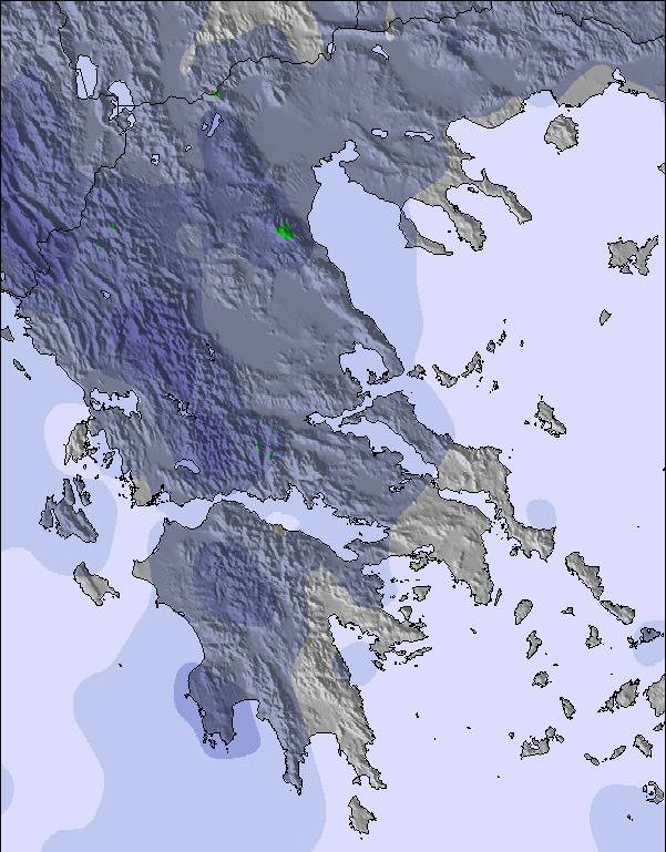
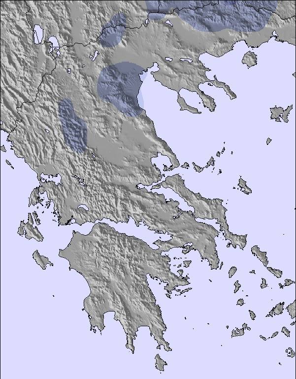
The above table gives the weather forecast for Seli at the specific elevation of 1700 m. Our sophisticated weather models allow us to provide snow forecasts for the top, middle and bottom ski stations of Seli. To access the weather forecasts for the other elevations, use the tab navigation above the table. For a wider view of the weather, check out the Weather Map of Greece.
Click here to read further information on freezing levels and how we forecast our temperatures.
Overall 4.0 Based on 58 votes and 14 reviews
We drove today to the mountain. There was nobody to arrange the parking. It was a real mess! Another surprise for me was that in the hall, there were no rules agains Covid. Nobody wore masks, a real shame!
NIKOS BIBIRIS from Greece writes:
We drove today to the mountain. There was nobody to arrange the parking. It was a real mess!
Another surprise for me was that in the hall, there were no rules agains Covid. Nobody wore masks, a real shame!

 Nearest