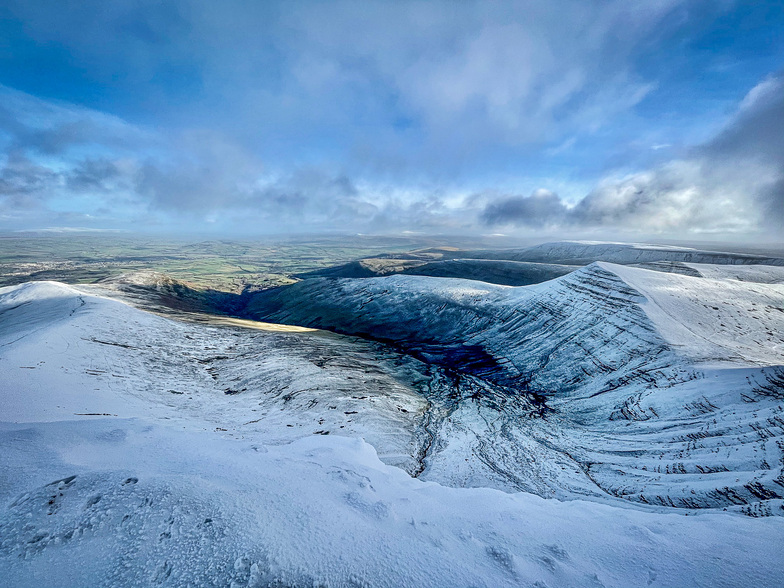
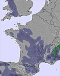
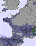
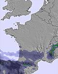
The above table gives the weather forecast for Pen-y-Fan at the specific elevation of 886 m. Our sophisticated weather models allow us to provide snow forecasts for the top, middle and bottom ski stations of Pen-y-Fan. To access the weather forecasts for the other elevations, use the tab navigation above the table. For a wider view of the weather, check out the Weather Map of United Kingdom.
Click here to read further information on freezing levels and how we forecast our temperatures.
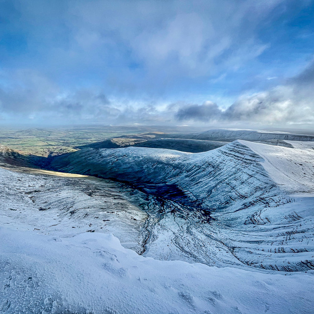
Reading the stories of great but rare days out boarding, skiing and sledding on the Brecon slopes, amazing as it is such a similar story to the Comeragh and Knockmealdown mountains a couple of hundred miles west in South East Ireland where on occasion there has been some fun adventures meeting ski and boarders in the most unlikely places all united by our love of snow. I would love to see this excellent site cover the few slopes we have so that you guys in Wales can read of similar experiences of snow days on your sister ranges to your west.
Reading the stories of great but rare days out boarding, skiing and sledding on the Brecon slopes, amazing as it is such a similar story to the Comeragh and Knockmealdown mountains a couple of hundred miles west in South East Ireland where on occasion there has been some fun adventures meeting ski and boarders in the most unlikely places all united by our love of snow. I would love to see this excellent site cover the few slopes we have so that you guys in Wales can read of similar experiences of snow days on your sister ranges to your west.
Free Snow-Forecast.com weather widget for your website
Embed the Pen-y-Fan weather widget on your site for free. It provides a weekly snapshot of snow and rain conditions across all elevations. Follow the two quick steps to grab your custom code and paste it into your site. Choose between metric or imperial units. Click here to get the code.


 Nearest