The above table gives the weather forecast for Ohau at the specific elevation of 1425 m. Our sophisticated weather models allow us to provide snow forecasts for the top, middle and bottom ski stations of Ohau. To access the weather forecasts for the other elevations, use the tab navigation above the table. For a wider view of the weather, check out the Weather Map of New Zealand.
Click here to read further information on freezing levels and how we forecast our temperatures.
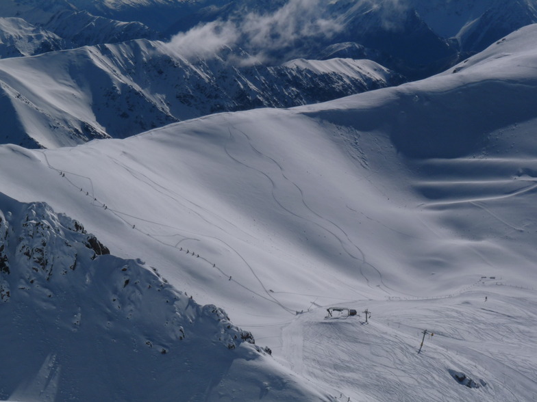
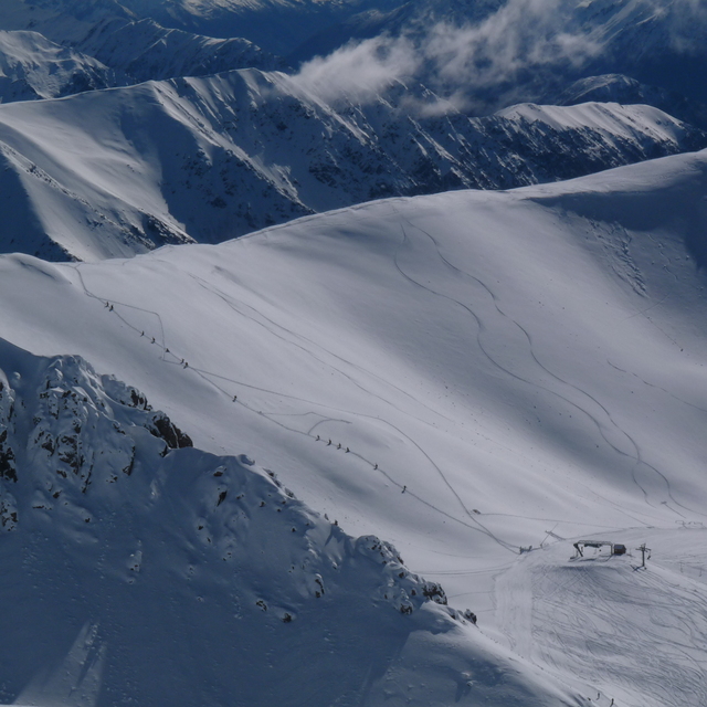
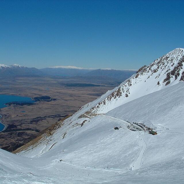
Great field that, although not big, makes up for variety and is in no way boring; plenty of advanced runs if you want them. Had some of the best skiing in the country here. Some great runs off the top ridge for a 20 minute walk. It's not crowded, with a relaxed atmosphere and accommodation at Ohau lodge - located at the base of the field has accommodation from back packers to beautiful rooms overlooking the lake, mostly built I think in the 60's / 70's and retains that style. Great bar and social dinning; open log fires. Twizel and Omarama are the next closest accommodation centers about 30 min away. Mad not to drop in for a couple of days if in the region. Very beautiful area.
Great field that, although not big, makes up for variety and is in no way boring; plenty of advanced runs if you want them. Had some of the best skiing in the country here. Some great runs off the top ridge for a 20 minute walk. It's not crowded, with a relaxed atmosphere and accommodation at Ohau lodge - located at the base of the field has accommodation from back packers to beautiful rooms overlooking the lake, mostly built I think in the 60's / 70's and retains that style. Great bar and social dinning; open log fires. Twizel and Omarama are the next closest accommodation centers about 30 min away. Mad not to drop in for a couple of days if in the region. Very beautiful area.
Free Snow-Forecast.com weather widget for your website
Embed the Ohau weather widget on your site for free. It provides a weekly snapshot of snow and rain conditions across all elevations. Follow the two quick steps to grab your custom code and paste it into your site. Choose between metric or imperial units. Click here to get the code.


 Nearest