

America’s Next Indoor Snow Centre Takes Shape
Construction of a new indoor snow centre for skiers, boarders and tubers appears to be making good progress at Heritage Farm in Wayne County, West Virginia.

Next 4 days weather summary:Some drizzle, heaviest during Sun night. Warm (max 22°C on Mon morning, min 17°C on Tue night). Wind will be generally light. | Days 5-7 weather summary:Light rain (total 7.0mm), mostly falling on Thu afternoon. Warm (max 21°C on Thu afternoon, min 17°C on Thu night). Wind will be generally light. | |||||||||||||||
Monday 20 | Tuesday 21 | Wednesday 22 | Thursday 23 | Friday 24 | ||||||||||||
night | AM | PM | night | AM | PM | night | AM | PM | night | AM | PM | night | AM | PM | night | |
light rain | some clouds | some clouds | cloudy | some clouds | some clouds | clear | some clouds | some clouds | some clouds | rain shwrs | t-storm risk | some clouds | light rain | rain shwrs | cloudy | |
km/h | ||||||||||||||||
Snow map | 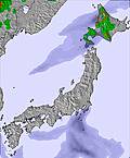 | 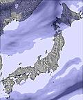 |  | 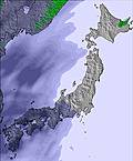 | 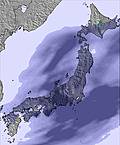 | 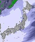 | ||||||||||
— | — | — | — | — | — | — | — | — | — | — | — | — | — | — | — | |
mm | 1 | — | — | — | — | — | — | — | — | — | 1 | 3 | — | 1 | 1 | — |
max °C | 19 | 22 | 22 | 20 | 22 | 21 | 18 | 21 | 20 | 19 | 20 | 21 | 18 | 20 | 20 | 18 |
min °C | 18 | 21 | 21 | 19 | 21 | 20 | 17 | 20 | 20 | 18 | 20 | 19 | 17 | 19 | 19 | 17 |
chill °C | 18 | 21 | 21 | 19 | 21 | 20 | 17 | 20 | 20 | 18 | 20 | 19 | 17 | 19 | 19 | 17 |
Humid % | 96 | 69 | 63 | 73 | 70 | 78 | 92 | 81 | 82 | 94 | 84 | 83 | 95 | 86 | 86 | 96 |
Freeze m | 5200 | 5150 | 5150 | 4850 | 4650 | 4700 | 4650 | 4600 | 4700 | 4750 | 4600 | 4600 | 4550 | 4600 | 4750 | 4650 |
— | 4:16 | — | — | 4:16 | — | — | 4:16 | — | — | 4:18 | — | — | 4:18 | — | — | |
— | — | 7:09 | — | — | 7:09 | — | — | 7:08 | — | — | 7:07 | — | — | 7:07 | — | |
Go pro and carve into:
Avalanche information: Japan Avalanche Network
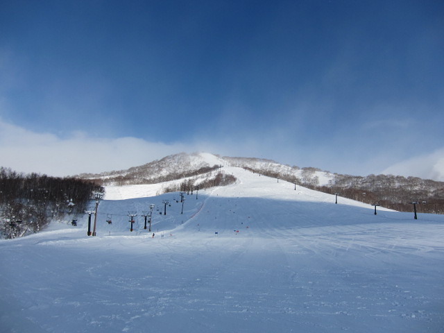
Latest snow reports near Niseko Moiwa:
| Top snow depth: | — |
|---|---|
| Bottom snow depth: | — |
| Fresh snowfall depth: | — |
| Last snowfall: | 4 May 2026 |
| Snow Alerts | Create Alert |
0.0 | Bluebird Powder days Fresh snow, mostly sunny, light wind. |
|---|---|
0.0 | Powder days Fresh snow, limited sun, any wind. |
0.0 | Bluebird days Average snow, mostly sunny, light wind. |
The above table gives the weather forecast for Niseko Moiwa at the specific elevation of 800 m. Our sophisticated weather models allow us to provide snow forecasts for the top, middle and bottom ski stations of Niseko Moiwa. To access the weather forecasts for the other elevations, use the tab navigation above the table. For a wider view of the weather, check out the Weather Map of Japan.
Click here to read further information on freezing levels and how we forecast our temperatures.


 Nearest