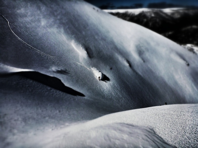


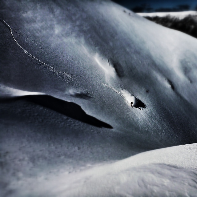
Then There Was One …Year-Round Outdoor Ski Centre Left
The closure of Austria’s Hintertux glacier for a 6-10 week summer break earlier this week means that the world now only has one year-round outdoor ski area left - The Matterhorn Glacier Paradise above Zermatt.


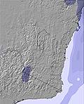
 Nearest
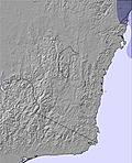